Grand Mound is a city in Clinton County, Iowa, United States. The population was 615 at the time of the 2020 census.
| Name: | Grand Mound city |
|---|---|
| LSAD Code: | 25 |
| LSAD Description: | city (suffix) |
| State: | Iowa |
| County: | Clinton County |
| Elevation: | 725 ft (221 m) |
| Total Area: | 1.87 sq mi (4.85 km²) |
| Land Area: | 1.87 sq mi (4.85 km²) |
| Water Area: | 0.00 sq mi (0.00 km²) |
| Total Population: | 615 |
| Population Density: | 328.70/sq mi (126.88/km²) |
| ZIP code: | 52751 |
| Area code: | 563 |
| FIPS code: | 1932025 |
| GNISfeature ID: | 0457024 |
| Website: | http://www.cityofgrandmound.org/ |
Online Interactive Map
Click on ![]() to view map in "full screen" mode.
to view map in "full screen" mode.
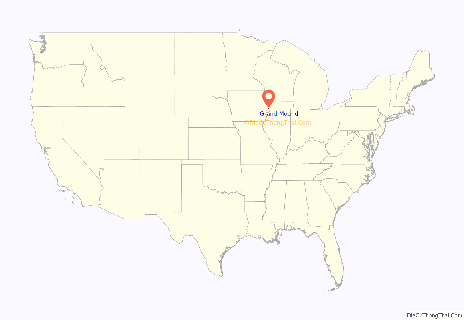
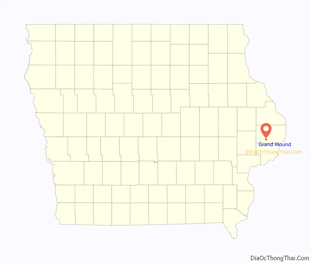
Grand Mound location map. Where is Grand Mound city?
History
The Chicago, Iowa and Nebraska Railroad was built through the town site in 1858, and a train station was built. Grand Mound was platted in 1866. Grand Mound was named for nearby Sand Mound; a recording error accounts for the error in spelling, which was never corrected. Legend has it, that it is the grandest of all mounds.
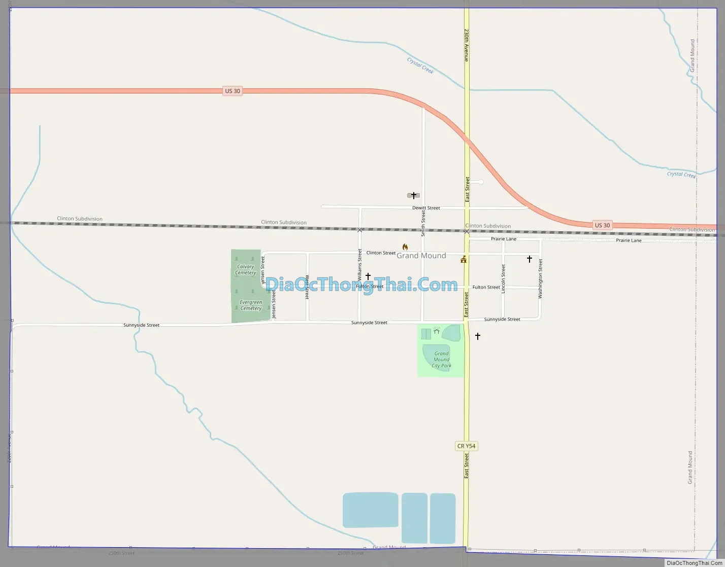
Grand Mound Road Map
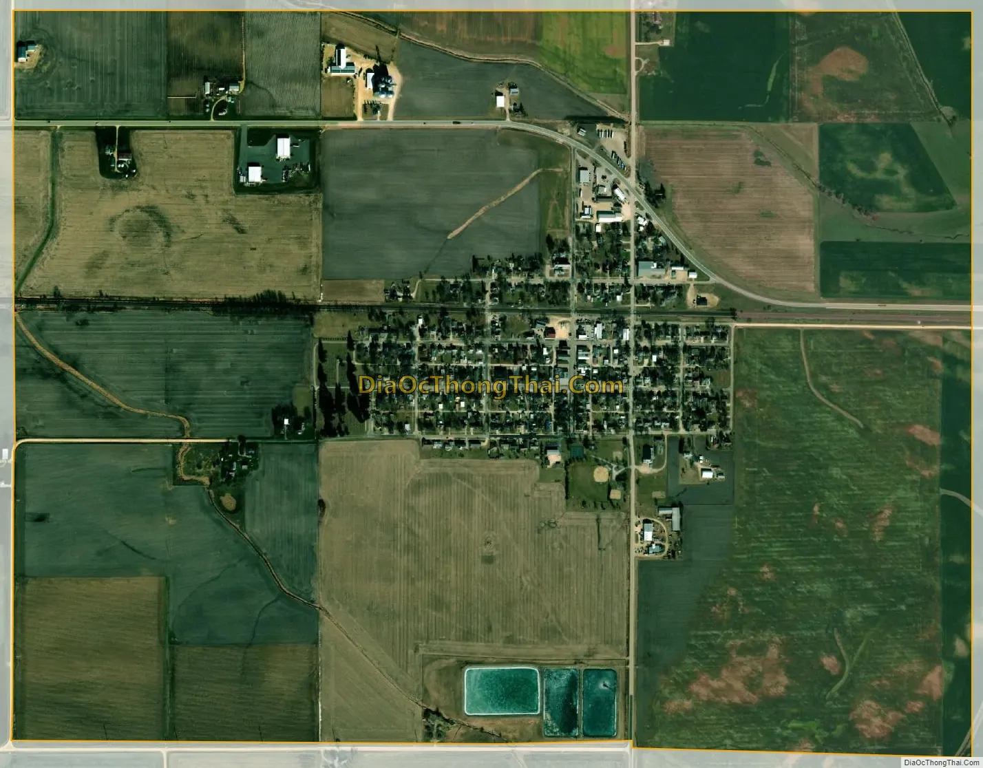
Grand Mound city Satellite Map
Geography
Grand Mound is located at 41°49′27″N 90°38′49″W / 41.82417°N 90.64694°W / 41.82417; -90.64694 (41.824275, -90.646815).
According to the United States Census Bureau, the city has a total area of 1.82 square miles (4.71 km), all land.
See also
Map of Iowa State and its subdivision:- Adair
- Adams
- Allamakee
- Appanoose
- Audubon
- Benton
- Black Hawk
- Boone
- Bremer
- Buchanan
- Buena Vista
- Butler
- Calhoun
- Carroll
- Cass
- Cedar
- Cerro Gordo
- Cherokee
- Chickasaw
- Clarke
- Clay
- Clayton
- Clinton
- Crawford
- Dallas
- Davis
- Decatur
- Delaware
- Des Moines
- Dickinson
- Dubuque
- Emmet
- Fayette
- Floyd
- Franklin
- Fremont
- Greene
- Grundy
- Guthrie
- Hamilton
- Hancock
- Hardin
- Harrison
- Henry
- Howard
- Humboldt
- Ida
- Iowa
- Jackson
- Jasper
- Jefferson
- Johnson
- Jones
- Keokuk
- Kossuth
- Lee
- Linn
- Louisa
- Lucas
- Lyon
- Madison
- Mahaska
- Marion
- Marshall
- Mills
- Mitchell
- Monona
- Monroe
- Montgomery
- Muscatine
- O'Brien
- Osceola
- Page
- Palo Alto
- Plymouth
- Pocahontas
- Polk
- Pottawattamie
- Poweshiek
- Ringgold
- Sac
- Scott
- Shelby
- Sioux
- Story
- Tama
- Taylor
- Union
- Van Buren
- Wapello
- Warren
- Washington
- Wayne
- Webster
- Winnebago
- Winneshiek
- Woodbury
- Worth
- Wright
- Alabama
- Alaska
- Arizona
- Arkansas
- California
- Colorado
- Connecticut
- Delaware
- District of Columbia
- Florida
- Georgia
- Hawaii
- Idaho
- Illinois
- Indiana
- Iowa
- Kansas
- Kentucky
- Louisiana
- Maine
- Maryland
- Massachusetts
- Michigan
- Minnesota
- Mississippi
- Missouri
- Montana
- Nebraska
- Nevada
- New Hampshire
- New Jersey
- New Mexico
- New York
- North Carolina
- North Dakota
- Ohio
- Oklahoma
- Oregon
- Pennsylvania
- Rhode Island
- South Carolina
- South Dakota
- Tennessee
- Texas
- Utah
- Vermont
- Virginia
- Washington
- West Virginia
- Wisconsin
- Wyoming


