Kanawha is a city in Hancock County, Iowa, United States. The population was 658 at the time of the 2020 census.
| Name: | Kanawha city |
|---|---|
| LSAD Code: | 25 |
| LSAD Description: | city (suffix) |
| State: | Iowa |
| County: | Hancock County |
| Elevation: | 1,181 ft (360 m) |
| Total Area: | 1.98 sq mi (5.14 km²) |
| Land Area: | 1.98 sq mi (5.14 km²) |
| Water Area: | 0.00 sq mi (0.00 km²) |
| Total Population: | 658 |
| Population Density: | 331.82/sq mi (128.11/km²) |
| ZIP code: | 50447 |
| Area code: | 641 |
| FIPS code: | 1940260 |
| GNISfeature ID: | 0458021 |
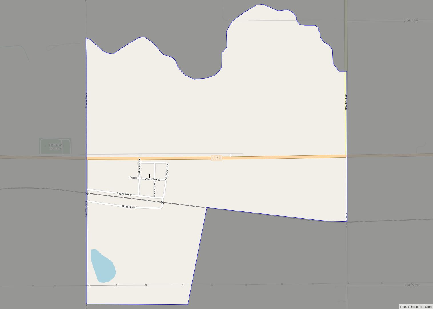
Online Interactive Map
Click on ![]() to view map in "full screen" mode.
to view map in "full screen" mode.
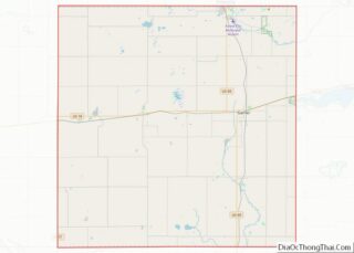
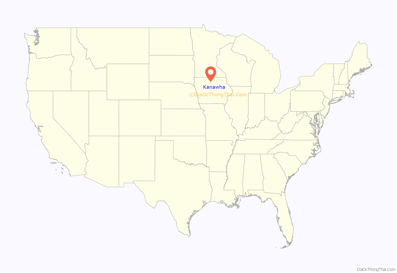
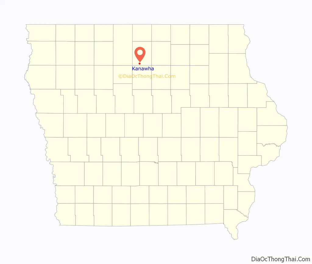
Kanawha location map. Where is Kanawha city?
History
Kanawha was platted in 1899. The newly constructed railroad had arrived from Belmond, Iowa. Business’ and some buildings moved from settlements three to four miles distant to establish in the new town on the railroad. Those settlements were Cuba, to the north, Magor, to the northwest, Mikesville, to the southwest, Aldrich, to the south (Drew, moved and renamed Bruce, was farther south), West Lake, to the east, and Bailey’s Grove to the north east. Kanawha’s founder, George Casper Call, petitioned Congressman J.P. Dolliver requesting a post office and proposing the name “Luzon”. Luzon was rejected because it was thought to be too close to the name of an existing Iowa, Luzerne in Benton County. Faced with having to find another name, a railroad engineer and West Virginia native, suggested “Kanawha”. The name met with approval.
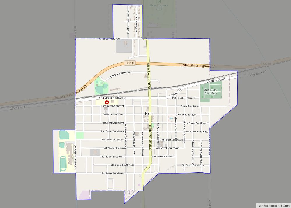
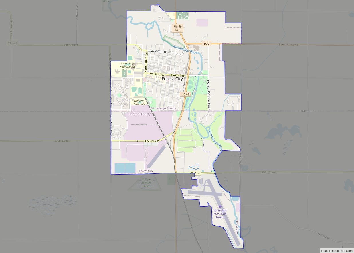
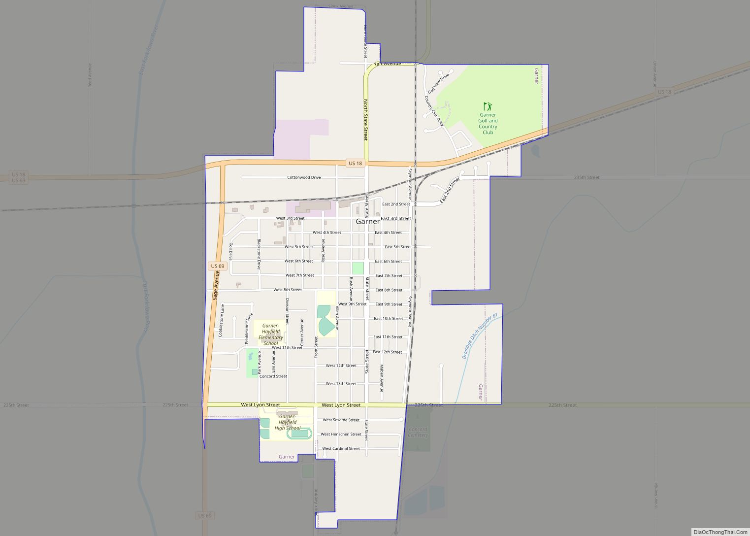
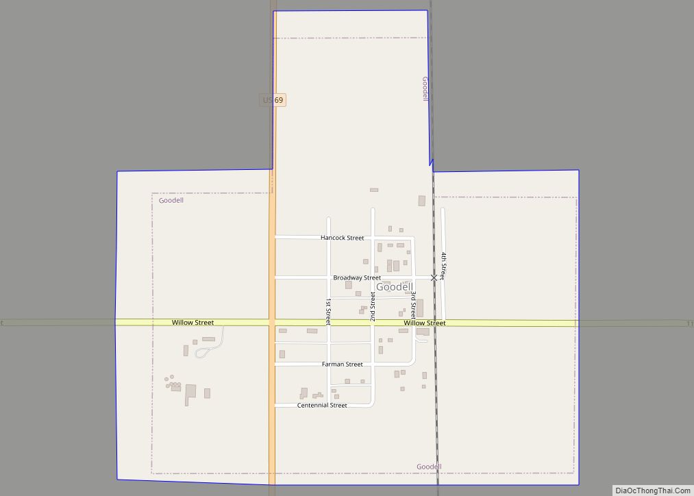
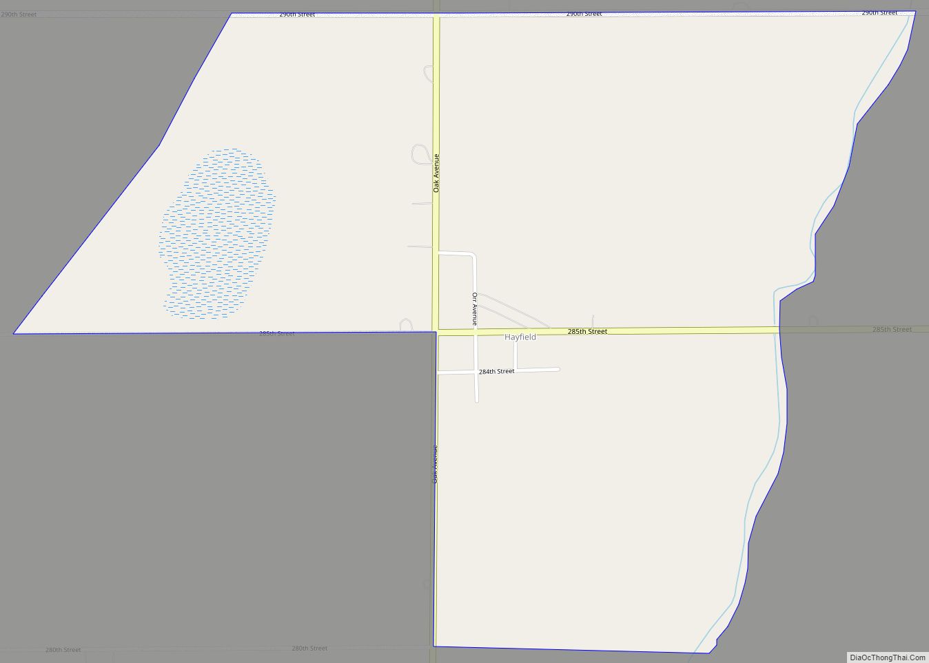
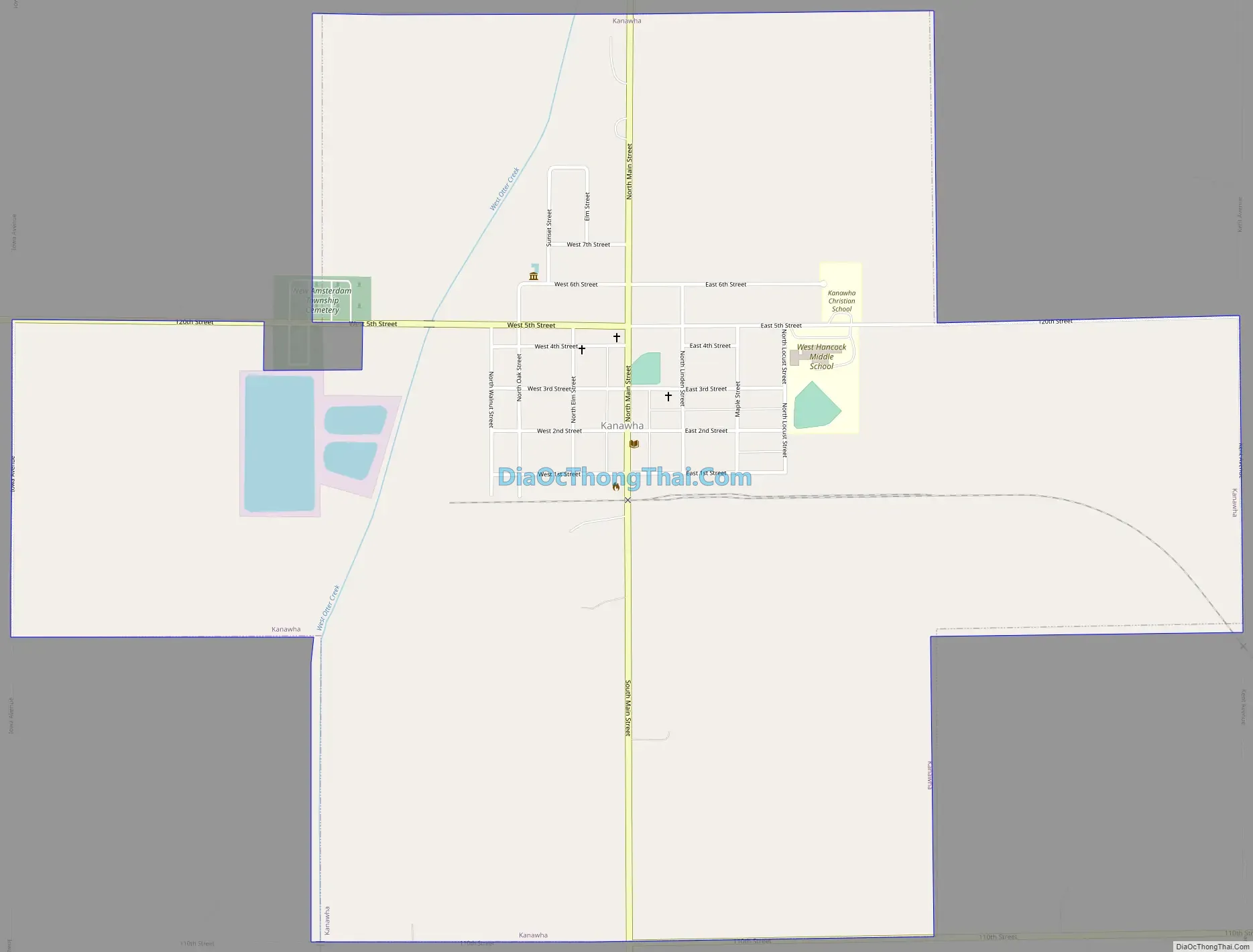
Kanawha Road Map
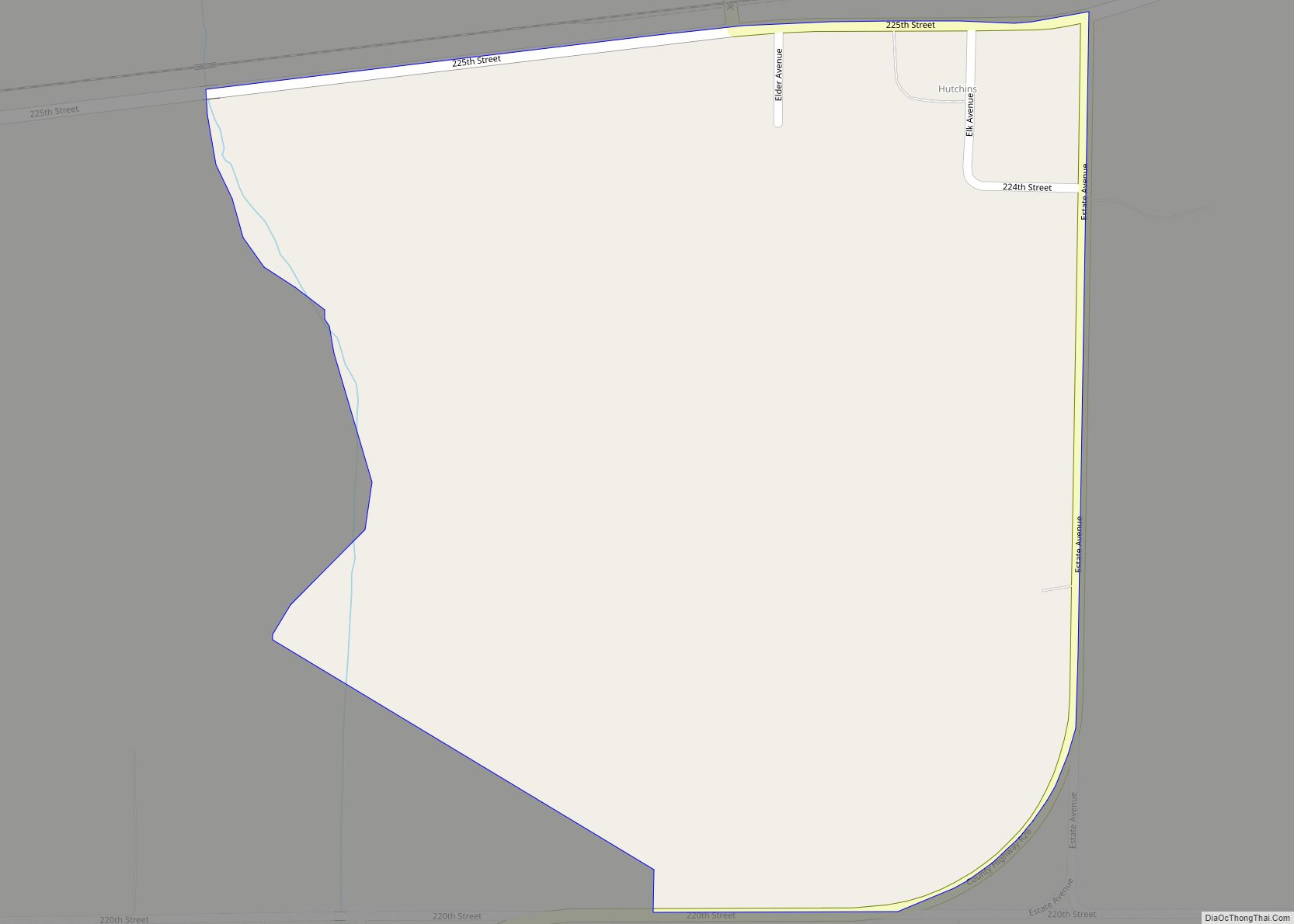
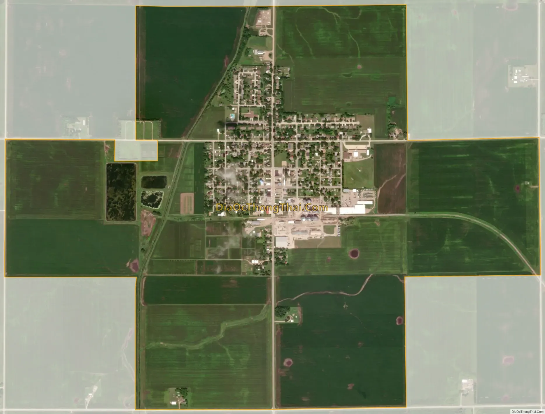
Kanawha city Satellite Map
Geography
Kanawha is located at 42°56′12″N 93°47′39″W / 42.93667°N 93.79417°W / 42.93667; -93.79417 (42.936773, -93.794305).
According to the United States Census Bureau, the city has a total area of 2.01 square miles (5.21 km), all land.
See also
Map of Iowa State and its subdivision:- Adair
- Adams
- Allamakee
- Appanoose
- Audubon
- Benton
- Black Hawk
- Boone
- Bremer
- Buchanan
- Buena Vista
- Butler
- Calhoun
- Carroll
- Cass
- Cedar
- Cerro Gordo
- Cherokee
- Chickasaw
- Clarke
- Clay
- Clayton
- Clinton
- Crawford
- Dallas
- Davis
- Decatur
- Delaware
- Des Moines
- Dickinson
- Dubuque
- Emmet
- Fayette
- Floyd
- Franklin
- Fremont
- Greene
- Grundy
- Guthrie
- Hamilton
- Hancock
- Hardin
- Harrison
- Henry
- Howard
- Humboldt
- Ida
- Iowa
- Jackson
- Jasper
- Jefferson
- Johnson
- Jones
- Keokuk
- Kossuth
- Lee
- Linn
- Louisa
- Lucas
- Lyon
- Madison
- Mahaska
- Marion
- Marshall
- Mills
- Mitchell
- Monona
- Monroe
- Montgomery
- Muscatine
- O'Brien
- Osceola
- Page
- Palo Alto
- Plymouth
- Pocahontas
- Polk
- Pottawattamie
- Poweshiek
- Ringgold
- Sac
- Scott
- Shelby
- Sioux
- Story
- Tama
- Taylor
- Union
- Van Buren
- Wapello
- Warren
- Washington
- Wayne
- Webster
- Winnebago
- Winneshiek
- Woodbury
- Worth
- Wright
- Alabama
- Alaska
- Arizona
- Arkansas
- California
- Colorado
- Connecticut
- Delaware
- District of Columbia
- Florida
- Georgia
- Hawaii
- Idaho
- Illinois
- Indiana
- Iowa
- Kansas
- Kentucky
- Louisiana
- Maine
- Maryland
- Massachusetts
- Michigan
- Minnesota
- Mississippi
- Missouri
- Montana
- Nebraska
- Nevada
- New Hampshire
- New Jersey
- New Mexico
- New York
- North Carolina
- North Dakota
- Ohio
- Oklahoma
- Oregon
- Pennsylvania
- Rhode Island
- South Carolina
- South Dakota
- Tennessee
- Texas
- Utah
- Vermont
- Virginia
- Washington
- West Virginia
- Wisconsin
- Wyoming