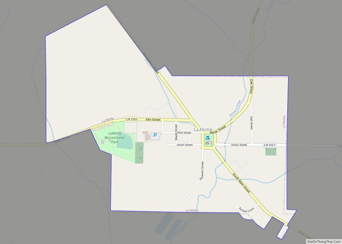
La Motte is a small city in northern Jackson County, Iowa, United States. The population was 237 at the time of the 2020 census.
| Name: | La Motte city |
|---|---|
| LSAD Code: | 25 |
| LSAD Description: | city (suffix) |
| State: | Iowa |
| County: | Jackson County |
| Incorporated: | May 24, 1879 |
| Elevation: | 925 ft (282 m) |
| Total Area: | 0.45 sq mi (1.17 km²) |
| Land Area: | 0.45 sq mi (1.17 km²) |
| Water Area: | 0.00 sq mi (0.00 km²) |
| Total Population: | 237 |
| Population Density: | 523.18/sq mi (201.79/km²) |
| ZIP code: | 52054 |
| Area code: | 563 |
| FIPS code: | 1943050 |
| GNISfeature ID: | 0458155 |
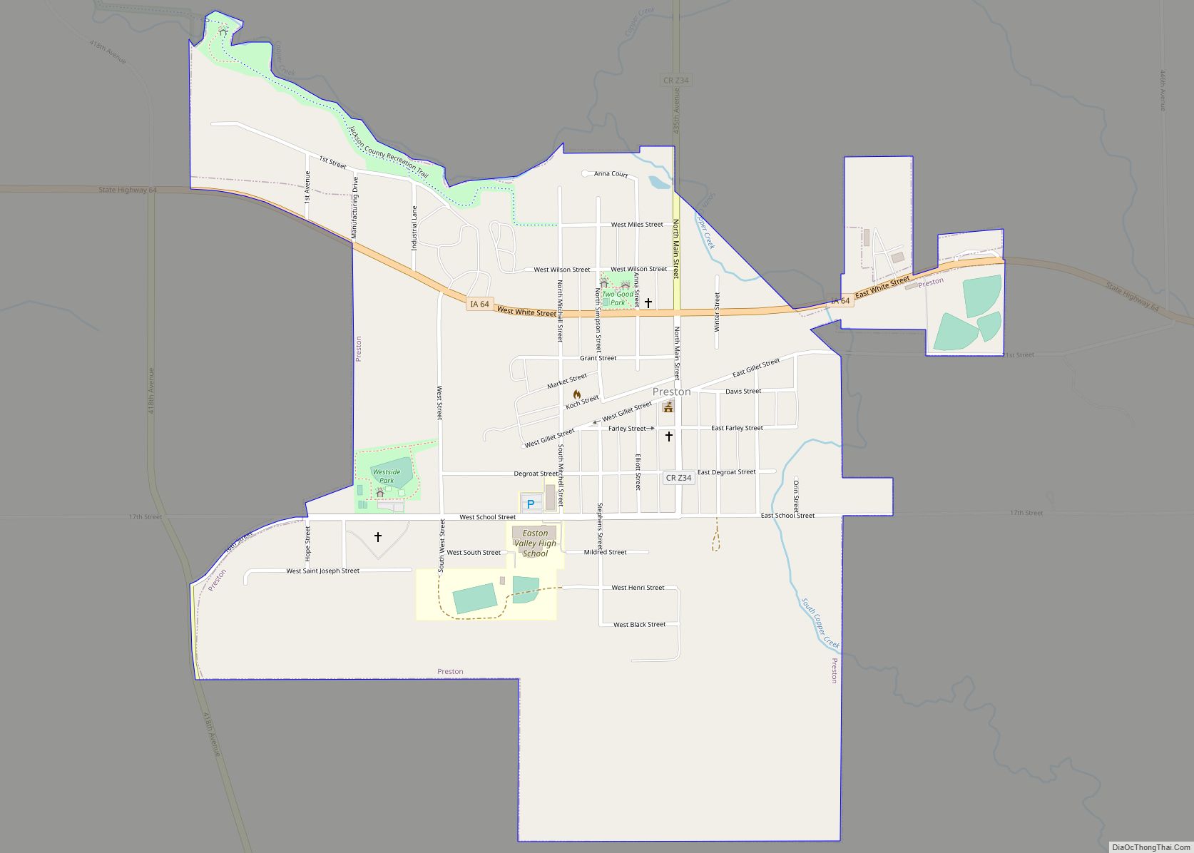
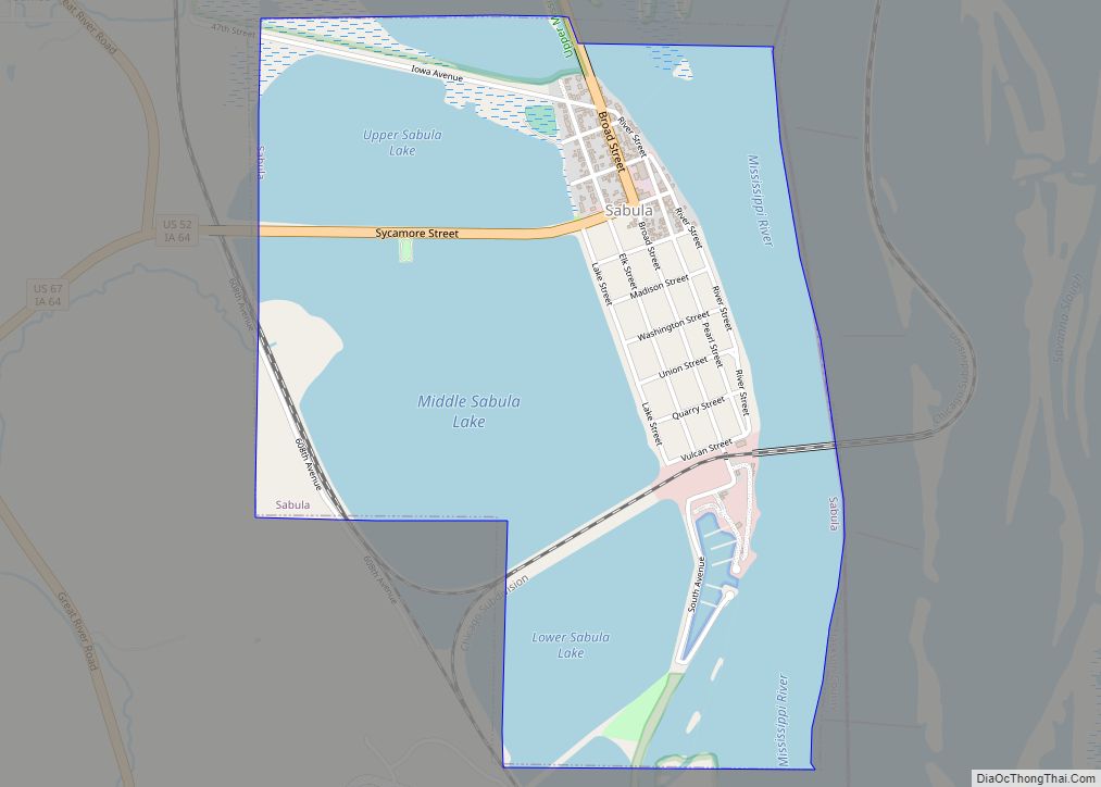
Online Interactive Map
Click on ![]() to view map in "full screen" mode.
to view map in "full screen" mode.
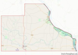
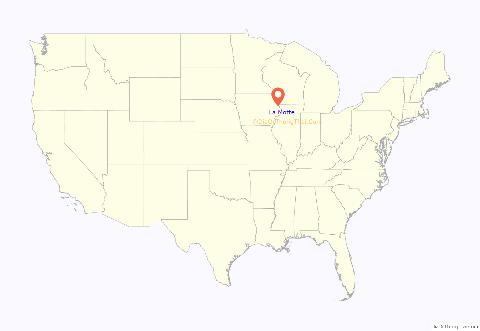
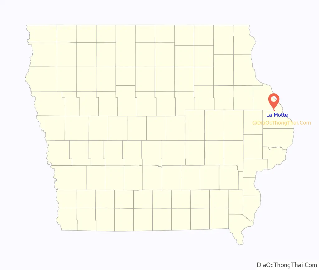
La Motte location map. Where is La Motte city?
History
La Motte was planned in 1873, and the town voted to incorporate in 1879. It is named after Alexander La Motte, one of its founders.
In 1878, La Motte contained two stores, a Methodist church, a Masonic lodge, and a carriage factory.
Two sites in La Motte are listed on the National Register of Historic Places: the Chicago, Milwaukee & St. Paul Narrow Gauge Depot, and the Harris Wagon and Carriage Shop.
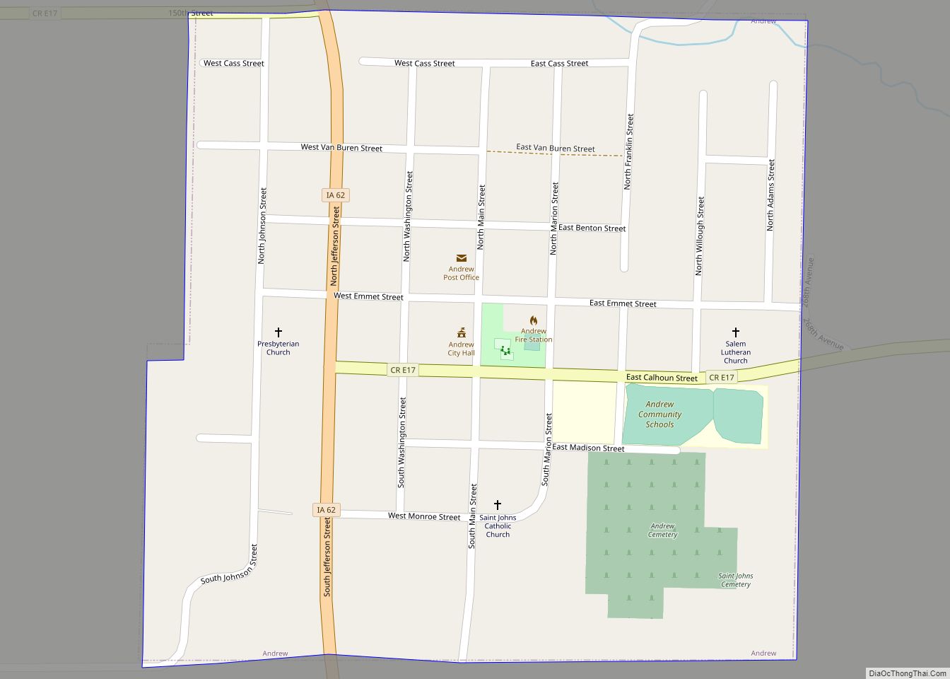
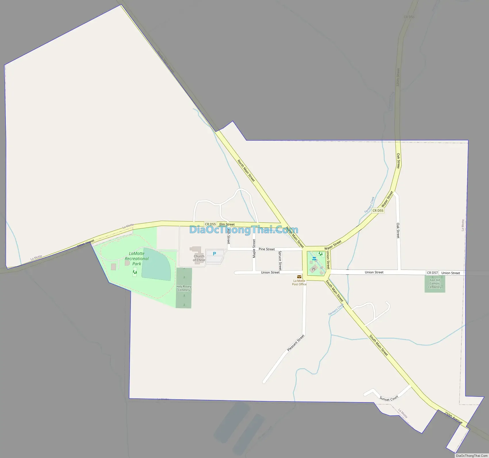
La Motte Road Map
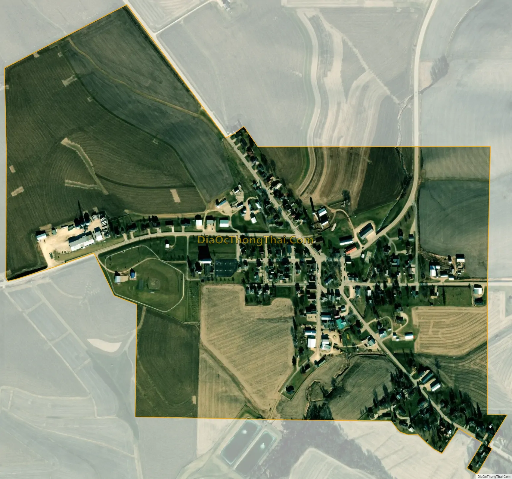
La Motte city Satellite Map
Geography
La Motte is located at 42°17′42″N 90°37′14″W / 42.29500°N 90.62056°W / 42.29500; -90.62056 (42.294910, -90.620455), in hilly countryside west of Bellevue.
According to the United States Census Bureau, the city has a total area of 0.46 square miles (1.19 km), all land.
See also
Map of Iowa State and its subdivision:- Adair
- Adams
- Allamakee
- Appanoose
- Audubon
- Benton
- Black Hawk
- Boone
- Bremer
- Buchanan
- Buena Vista
- Butler
- Calhoun
- Carroll
- Cass
- Cedar
- Cerro Gordo
- Cherokee
- Chickasaw
- Clarke
- Clay
- Clayton
- Clinton
- Crawford
- Dallas
- Davis
- Decatur
- Delaware
- Des Moines
- Dickinson
- Dubuque
- Emmet
- Fayette
- Floyd
- Franklin
- Fremont
- Greene
- Grundy
- Guthrie
- Hamilton
- Hancock
- Hardin
- Harrison
- Henry
- Howard
- Humboldt
- Ida
- Iowa
- Jackson
- Jasper
- Jefferson
- Johnson
- Jones
- Keokuk
- Kossuth
- Lee
- Linn
- Louisa
- Lucas
- Lyon
- Madison
- Mahaska
- Marion
- Marshall
- Mills
- Mitchell
- Monona
- Monroe
- Montgomery
- Muscatine
- O'Brien
- Osceola
- Page
- Palo Alto
- Plymouth
- Pocahontas
- Polk
- Pottawattamie
- Poweshiek
- Ringgold
- Sac
- Scott
- Shelby
- Sioux
- Story
- Tama
- Taylor
- Union
- Van Buren
- Wapello
- Warren
- Washington
- Wayne
- Webster
- Winnebago
- Winneshiek
- Woodbury
- Worth
- Wright
- Alabama
- Alaska
- Arizona
- Arkansas
- California
- Colorado
- Connecticut
- Delaware
- District of Columbia
- Florida
- Georgia
- Hawaii
- Idaho
- Illinois
- Indiana
- Iowa
- Kansas
- Kentucky
- Louisiana
- Maine
- Maryland
- Massachusetts
- Michigan
- Minnesota
- Mississippi
- Missouri
- Montana
- Nebraska
- Nevada
- New Hampshire
- New Jersey
- New Mexico
- New York
- North Carolina
- North Dakota
- Ohio
- Oklahoma
- Oregon
- Pennsylvania
- Rhode Island
- South Carolina
- South Dakota
- Tennessee
- Texas
- Utah
- Vermont
- Virginia
- Washington
- West Virginia
- Wisconsin
- Wyoming