Lenox is a city in Taylor and Adams counties in the U.S. state of Iowa. The population was 1,339 at the time of the 2020 census.
| Name: | Lenox city |
|---|---|
| LSAD Code: | 25 |
| LSAD Description: | city (suffix) |
| State: | Iowa |
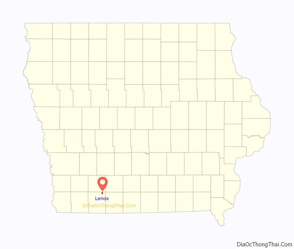
| County: | Adams County, Taylor County |
| Elevation: | 1,296 ft (395 m) |
| Total Area: | 1.98 sq mi (5.13 km²) |
| Land Area: | 1.90 sq mi (4.92 km²) |
| Water Area: | 0.08 sq mi (0.21 km²) |
| Total Population: | 1,339 |
| Population Density: | 704.74/sq mi (272.08/km²) |
| ZIP code: | 50851 |
| Area code: | 641 |
| FIPS code: | 1944490 |
| GNISfeature ID: | 0458287 |
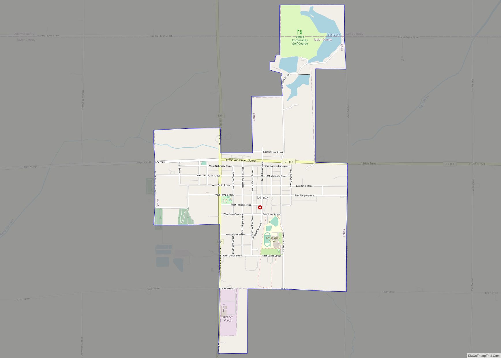
Online Interactive Map
Click on ![]() to view map in "full screen" mode.
to view map in "full screen" mode.
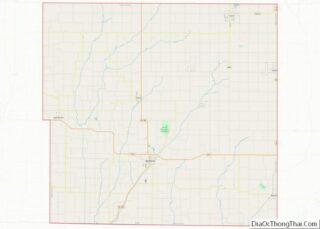
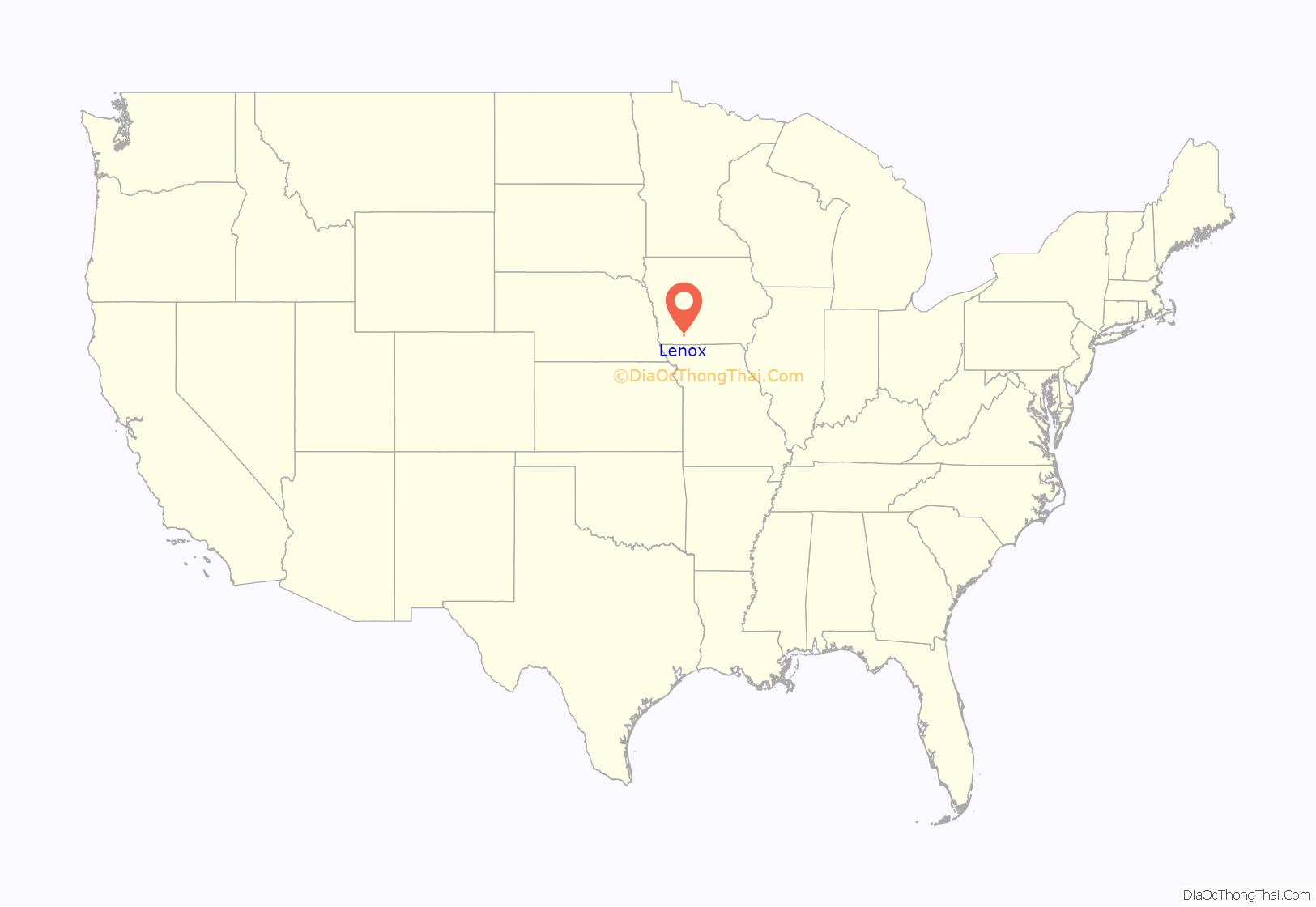
Lenox location map. Where is Lenox city?
History
Lenox got its start in the year 1871, following construction of the Chicago, Burlington and Quincy Railroad through the territory.
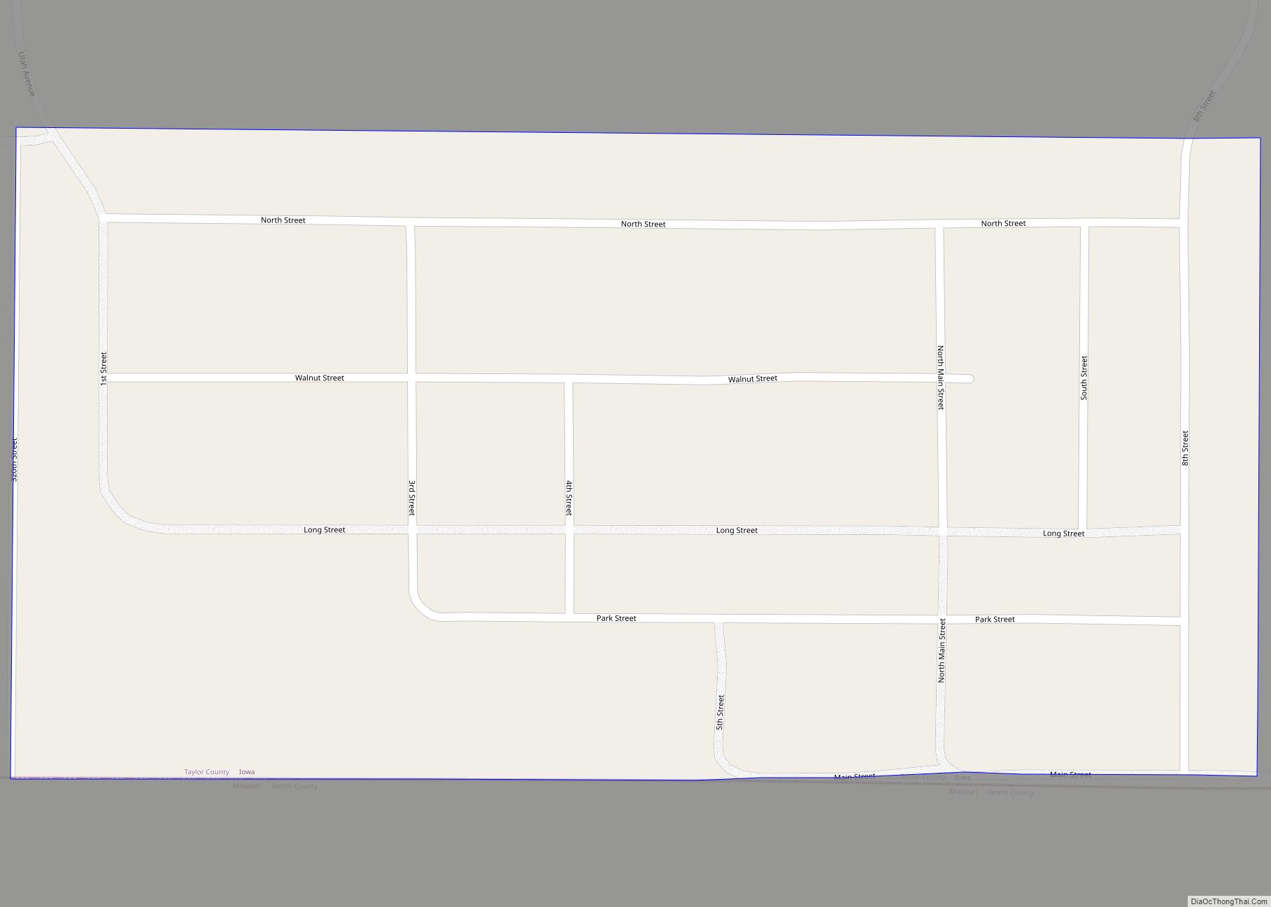
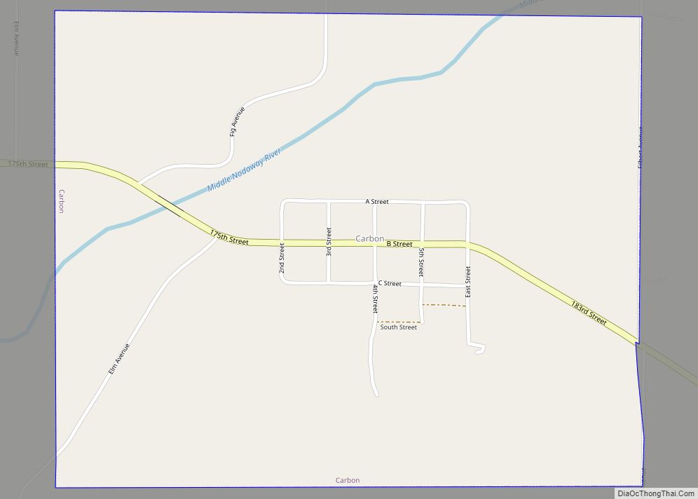
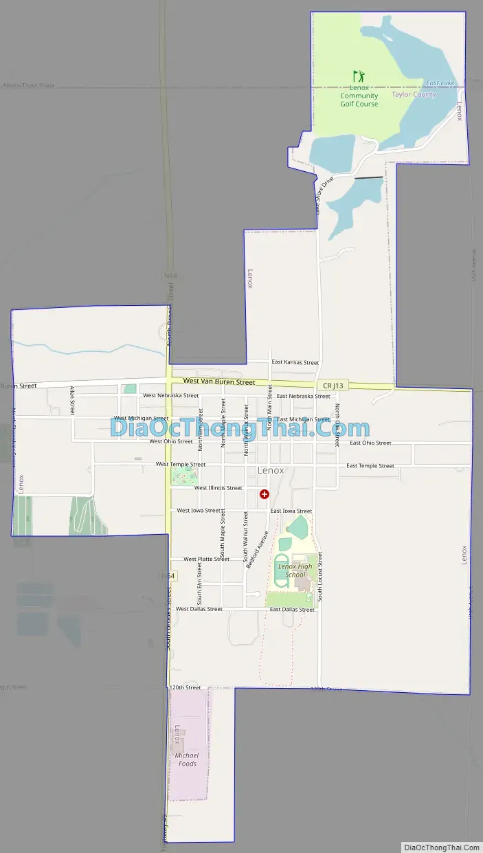
Lenox Road Map
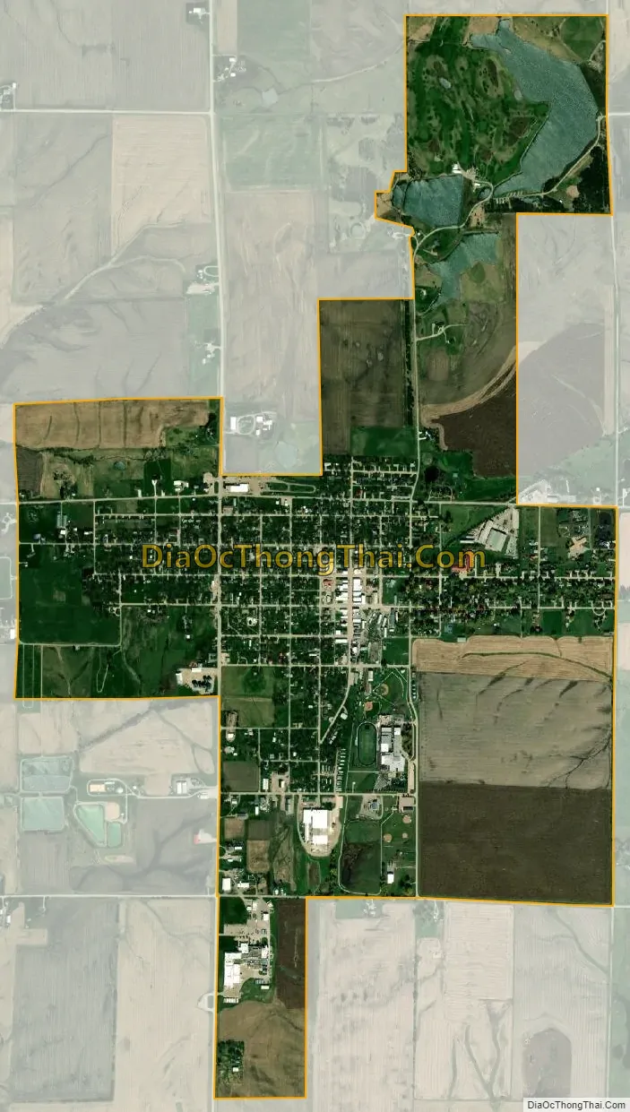
Lenox city Satellite Map
Geography
Lenox is located at 40°53′0″N 94°33′30″W / 40.88333°N 94.55833°W / 40.88333; -94.55833 (40.883195, -94.561293).
According to the United States Census Bureau, the city has a total area of 2.06 square miles (5.34 km), of which 1.98 square miles (5.13 km) is land and 0.08 square miles (0.21 km) is water.
See also
Map of Iowa State and its subdivision:- Adair
- Adams
- Allamakee
- Appanoose
- Audubon
- Benton
- Black Hawk
- Boone
- Bremer
- Buchanan
- Buena Vista
- Butler
- Calhoun
- Carroll
- Cass
- Cedar
- Cerro Gordo
- Cherokee
- Chickasaw
- Clarke
- Clay
- Clayton
- Clinton
- Crawford
- Dallas
- Davis
- Decatur
- Delaware
- Des Moines
- Dickinson
- Dubuque
- Emmet
- Fayette
- Floyd
- Franklin
- Fremont
- Greene
- Grundy
- Guthrie
- Hamilton
- Hancock
- Hardin
- Harrison
- Henry
- Howard
- Humboldt
- Ida
- Iowa
- Jackson
- Jasper
- Jefferson
- Johnson
- Jones
- Keokuk
- Kossuth
- Lee
- Linn
- Louisa
- Lucas
- Lyon
- Madison
- Mahaska
- Marion
- Marshall
- Mills
- Mitchell
- Monona
- Monroe
- Montgomery
- Muscatine
- O'Brien
- Osceola
- Page
- Palo Alto
- Plymouth
- Pocahontas
- Polk
- Pottawattamie
- Poweshiek
- Ringgold
- Sac
- Scott
- Shelby
- Sioux
- Story
- Tama
- Taylor
- Union
- Van Buren
- Wapello
- Warren
- Washington
- Wayne
- Webster
- Winnebago
- Winneshiek
- Woodbury
- Worth
- Wright
- Alabama
- Alaska
- Arizona
- Arkansas
- California
- Colorado
- Connecticut
- Delaware
- District of Columbia
- Florida
- Georgia
- Hawaii
- Idaho
- Illinois
- Indiana
- Iowa
- Kansas
- Kentucky
- Louisiana
- Maine
- Maryland
- Massachusetts
- Michigan
- Minnesota
- Mississippi
- Missouri
- Montana
- Nebraska
- Nevada
- New Hampshire
- New Jersey
- New Mexico
- New York
- North Carolina
- North Dakota
- Ohio
- Oklahoma
- Oregon
- Pennsylvania
- Rhode Island
- South Carolina
- South Dakota
- Tennessee
- Texas
- Utah
- Vermont
- Virginia
- Washington
- West Virginia
- Wisconsin
- Wyoming