Malcom is a city in Poweshiek County, Iowa, United States. The population was 270 at the time of the 2020 census. The city was named for an early settler. The town’s major businesses include BASF, a restaurant, and Dayton Meat Products.
| Name: | Malcom city |
|---|---|
| LSAD Code: | 25 |
| LSAD Description: | city (suffix) |
| State: | Iowa |
| County: | Poweshiek County |
| Elevation: | 915 ft (279 m) |
| Total Area: | 0.83 sq mi (2.14 km²) |
| Land Area: | 0.83 sq mi (2.14 km²) |
| Water Area: | 0.00 sq mi (0.00 km²) |
| Total Population: | 270 |
| Population Density: | 326.88/sq mi (126.14/km²) |
| ZIP code: | 50157 |
| Area code: | 641 |
| FIPS code: | 1948540 |
| GNISfeature ID: | 0458739 |
| Website: | https://www.cityofmalcomiowa.com/ |
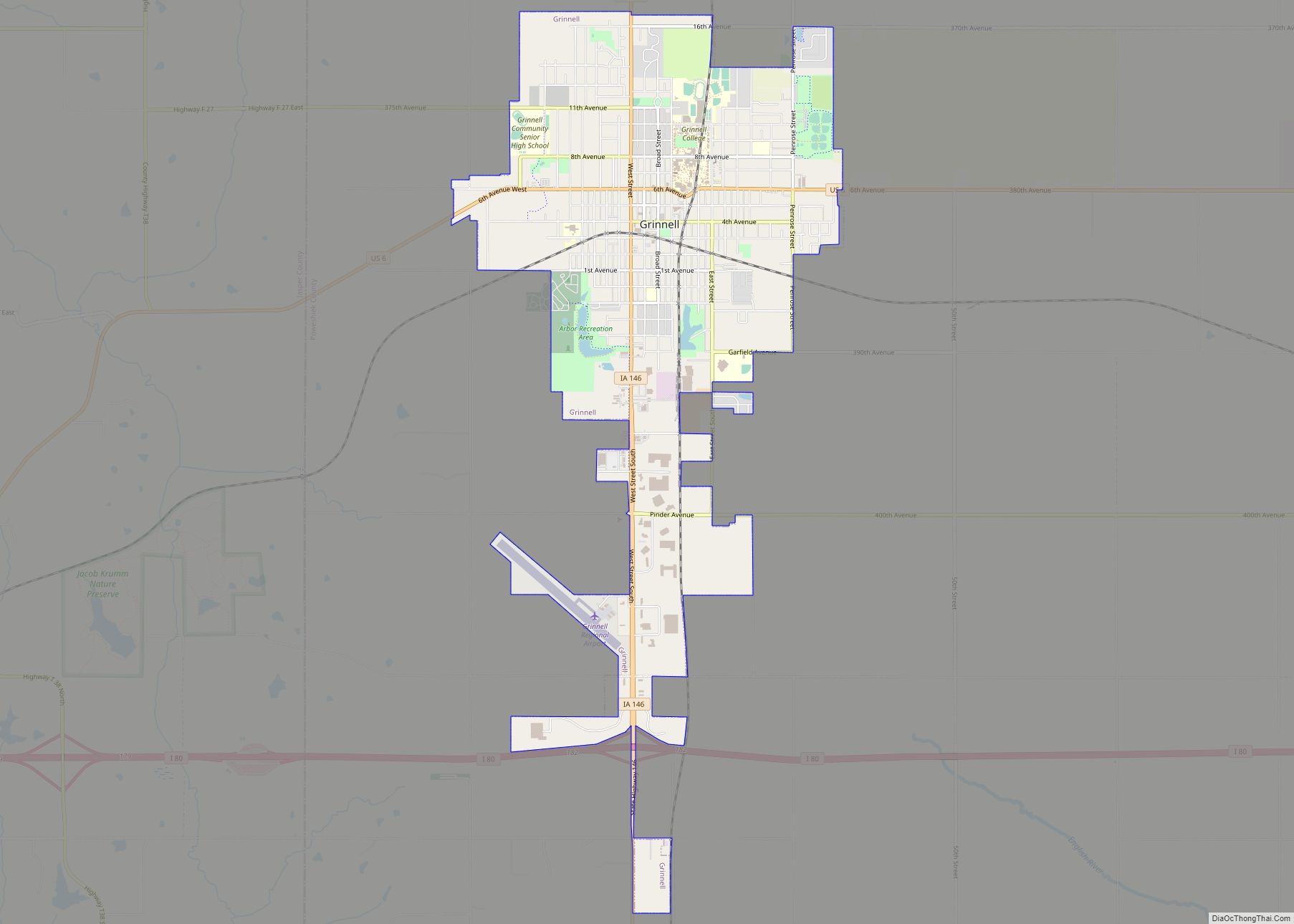
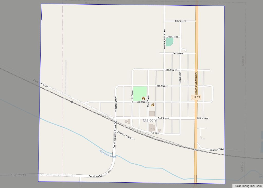
Online Interactive Map
Click on ![]() to view map in "full screen" mode.
to view map in "full screen" mode.
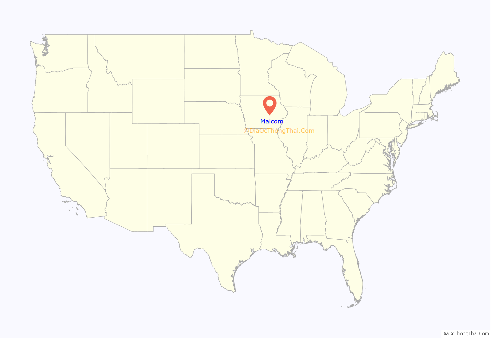
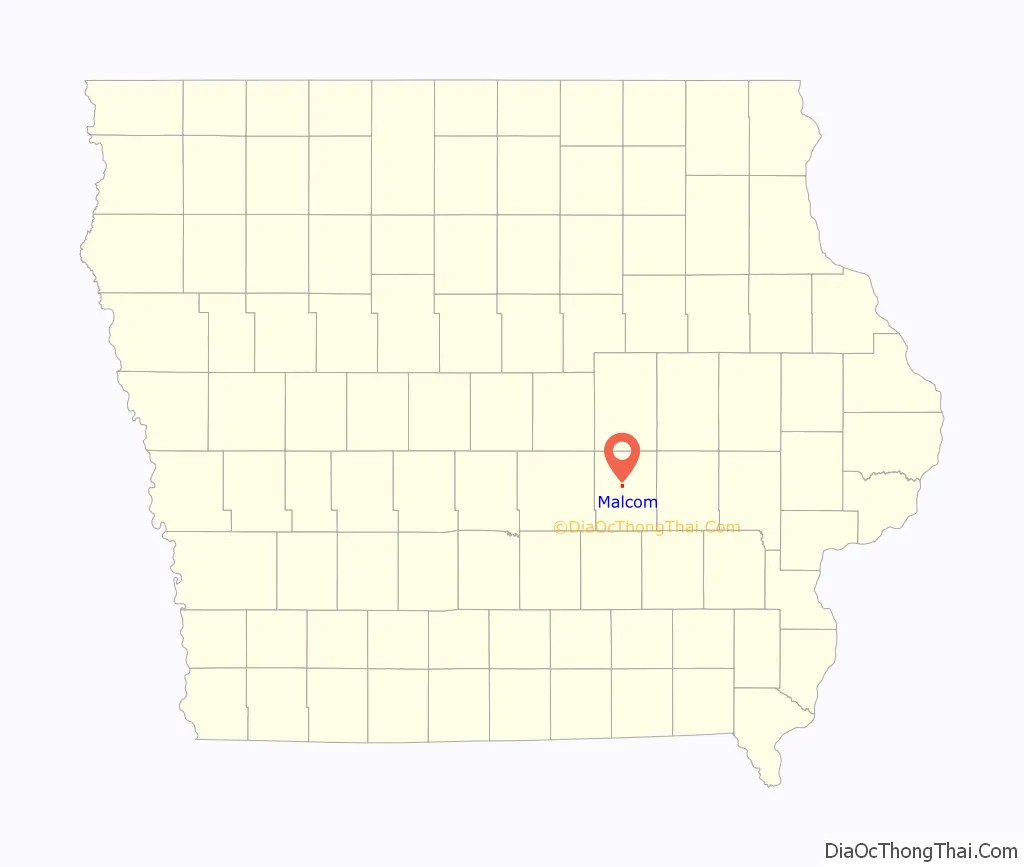
Malcom location map. Where is Malcom city?
History
Prior to the treaty of May 1, 1843, the area of what is now Malcom was Sac and Fox (Sauk and Meskwaki) lands. Though there were a few settlers earlier, by 1858, the population justified the formation of a township. The railroad was extended from Iowa City in 1863, and the village was laid out on the Little Bear Creek. The town was incorporated on April 23, 1872.
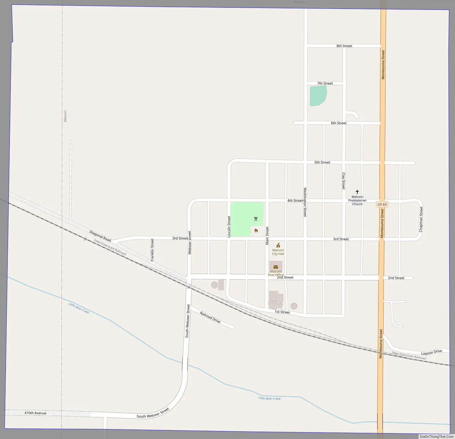
Malcom Road Map
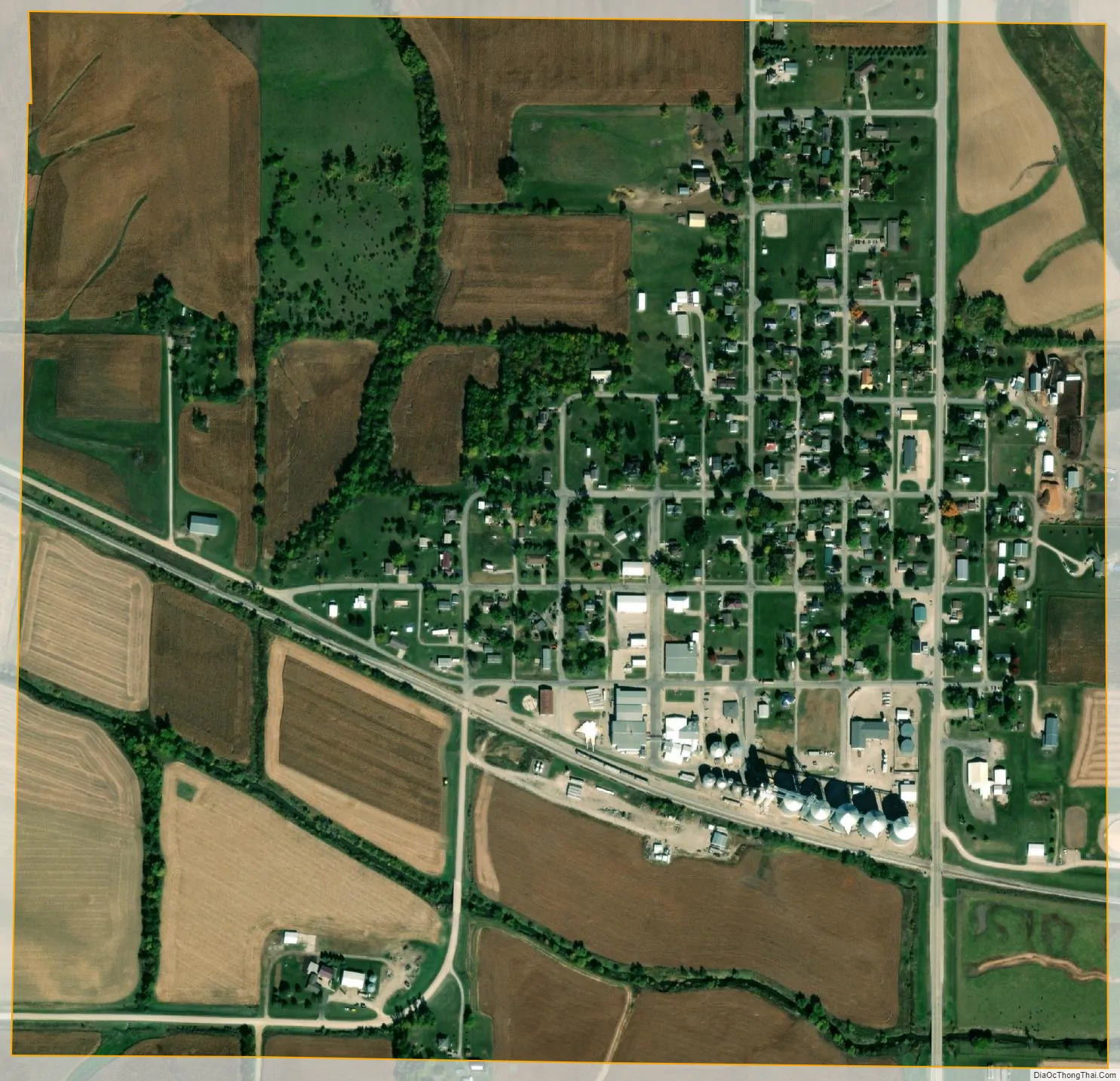
Malcom city Satellite Map
Geography
Malcom is located at 41°42′27″N 92°33′19″W / 41.707486°N 92.555373°W / 41.707486; -92.555373 (41.707486, -92.555373).
According to the United States Census Bureau, the city has a total area of 0.61 square miles (1.58 km), all land.
See also
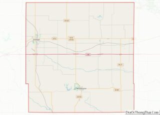
Map of Iowa State and its subdivision:- Adair
- Adams
- Allamakee
- Appanoose
- Audubon
- Benton
- Black Hawk
- Boone
- Bremer
- Buchanan
- Buena Vista
- Butler
- Calhoun
- Carroll
- Cass
- Cedar
- Cerro Gordo
- Cherokee
- Chickasaw
- Clarke
- Clay
- Clayton
- Clinton
- Crawford
- Dallas
- Davis
- Decatur
- Delaware
- Des Moines
- Dickinson
- Dubuque
- Emmet
- Fayette
- Floyd
- Franklin
- Fremont
- Greene
- Grundy
- Guthrie
- Hamilton
- Hancock
- Hardin
- Harrison
- Henry
- Howard
- Humboldt
- Ida
- Iowa
- Jackson
- Jasper
- Jefferson
- Johnson
- Jones
- Keokuk
- Kossuth
- Lee
- Linn
- Louisa
- Lucas
- Lyon
- Madison
- Mahaska
- Marion
- Marshall
- Mills
- Mitchell
- Monona
- Monroe
- Montgomery
- Muscatine
- O'Brien
- Osceola
- Page
- Palo Alto
- Plymouth
- Pocahontas
- Polk
- Pottawattamie
- Poweshiek
- Ringgold
- Sac
- Scott
- Shelby
- Sioux
- Story
- Tama
- Taylor
- Union
- Van Buren
- Wapello
- Warren
- Washington
- Wayne
- Webster
- Winnebago
- Winneshiek
- Woodbury
- Worth
- Wright
- Alabama
- Alaska
- Arizona
- Arkansas
- California
- Colorado
- Connecticut
- Delaware
- District of Columbia
- Florida
- Georgia
- Hawaii
- Idaho
- Illinois
- Indiana
- Iowa
- Kansas
- Kentucky
- Louisiana
- Maine
- Maryland
- Massachusetts
- Michigan
- Minnesota
- Mississippi
- Missouri
- Montana
- Nebraska
- Nevada
- New Hampshire
- New Jersey
- New Mexico
- New York
- North Carolina
- North Dakota
- Ohio
- Oklahoma
- Oregon
- Pennsylvania
- Rhode Island
- South Carolina
- South Dakota
- Tennessee
- Texas
- Utah
- Vermont
- Virginia
- Washington
- West Virginia
- Wisconsin
- Wyoming