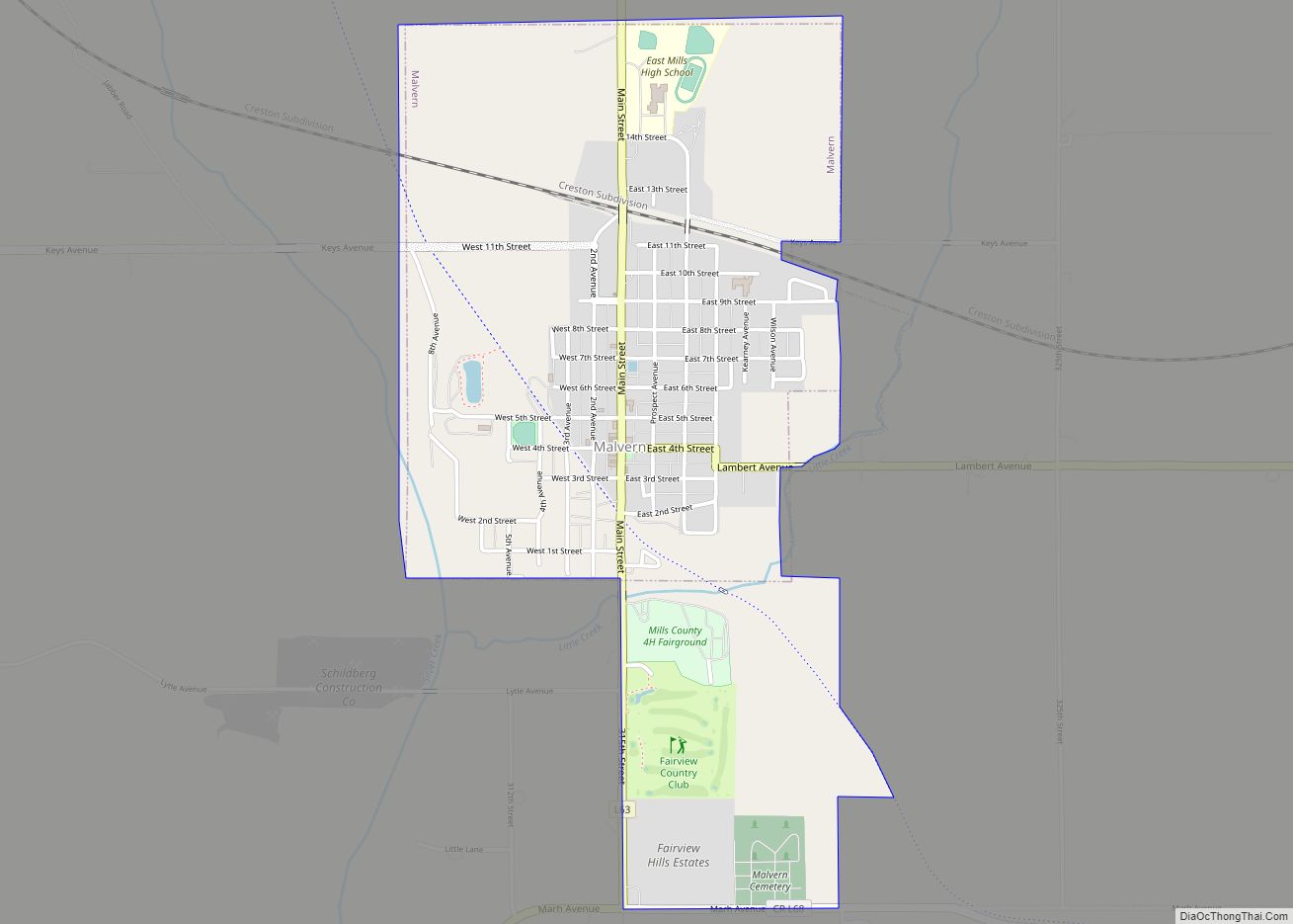
Malvern is a city in Mills County, Iowa, United States. The population was 1,046 at the time of the 2020 census. The Wabash Trace—a railroad converted to a bicycle trail—passes through Malvern. The Mills County Fair is held here, although Glenwood is the county seat. Malvern is the largest town in the eastern half of the county.
| Name: | Malvern city |
|---|---|
| LSAD Code: | 25 |
| LSAD Description: | city (suffix) |
| State: | Iowa |
| County: | Mills County |
| Elevation: | 1,007 ft (307 m) |
| Total Area: | 1.59 sq mi (4.13 km²) |
| Land Area: | 1.59 sq mi (4.13 km²) |
| Water Area: | 0.00 sq mi (0.00 km²) |
| Total Population: | 1,046 |
| Population Density: | 656.21/sq mi (253.39/km²) |
| ZIP code: | 51551 |
| Area code: | 712 |
| FIPS code: | 1948720 |
| GNISfeature ID: | 0458747 |
| Website: | www.malvernia.com |
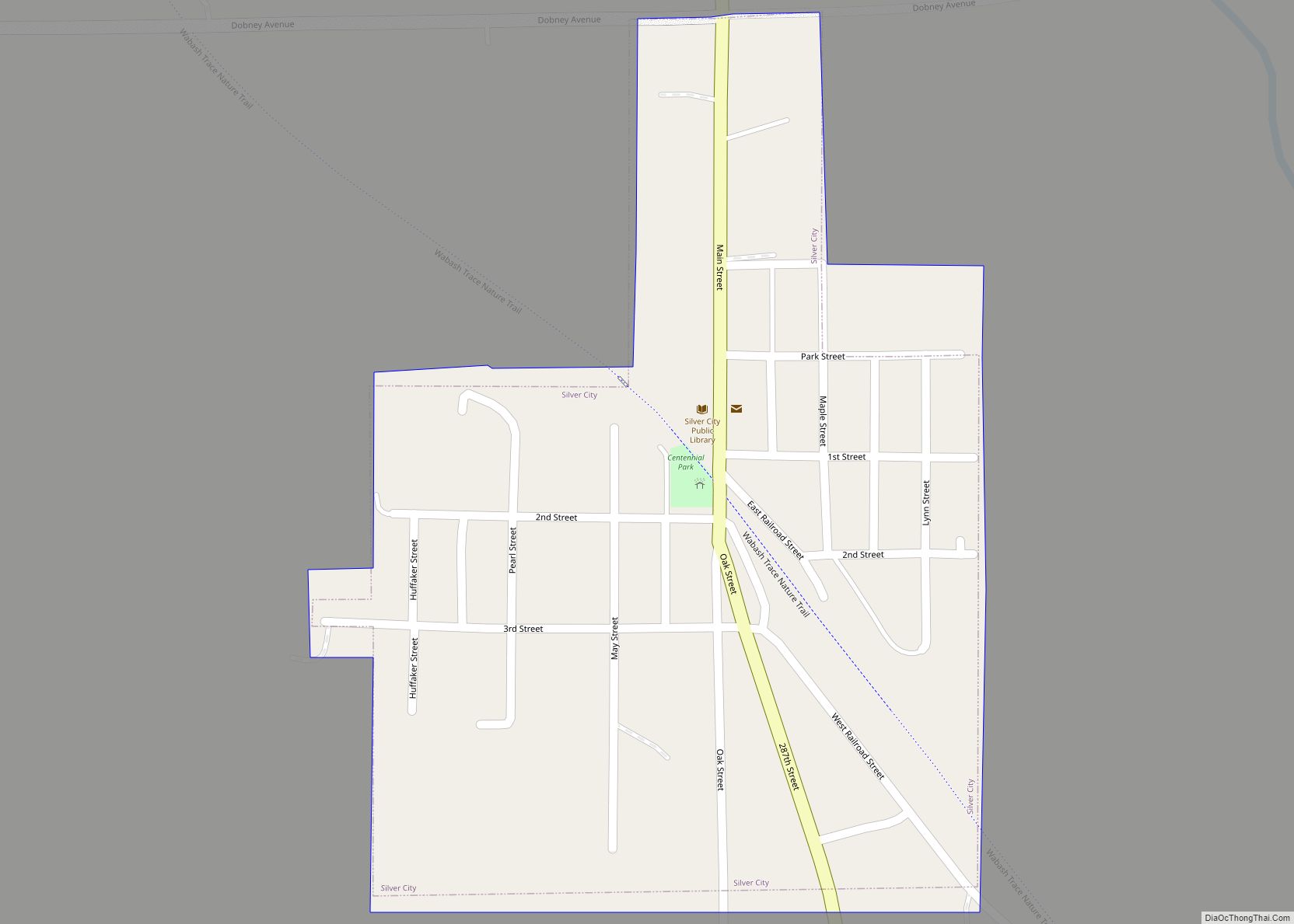
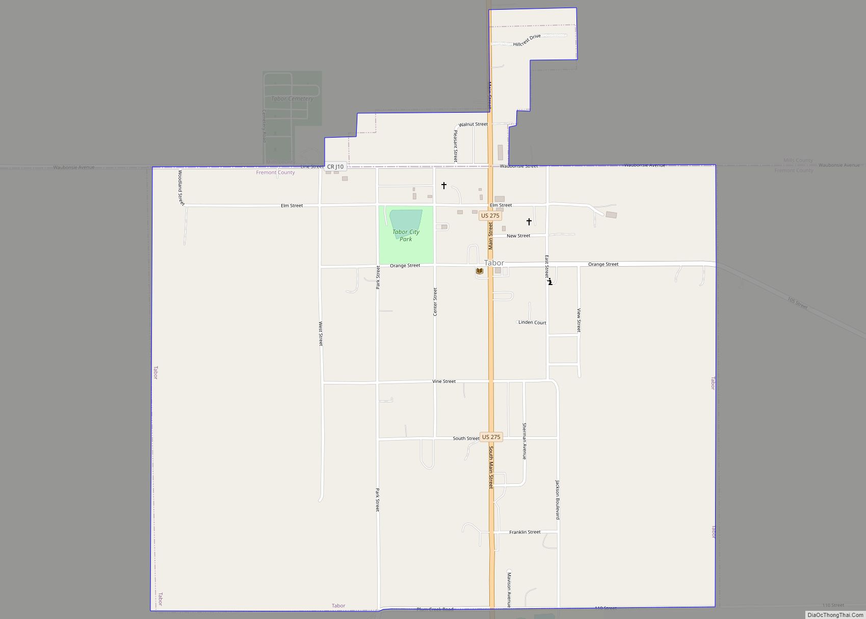
Online Interactive Map
Click on ![]() to view map in "full screen" mode.
to view map in "full screen" mode.
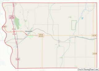
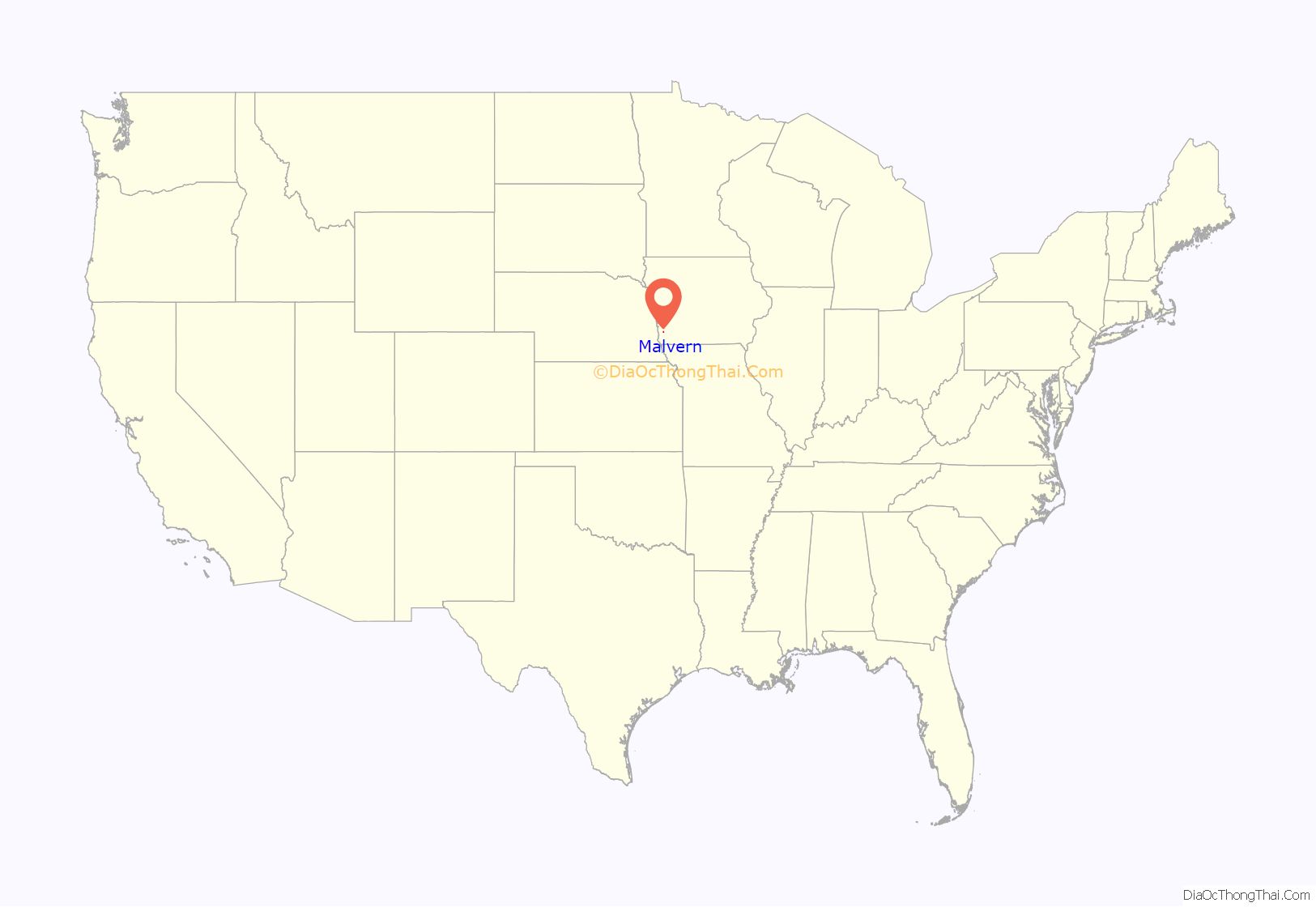
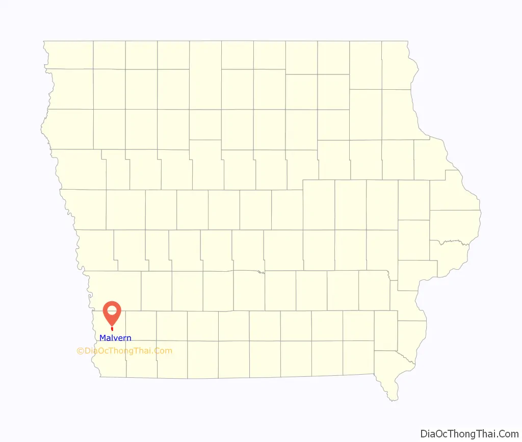
Malvern location map. Where is Malvern city?
History
The pioneer village of Milton was established in the fall of 1869. It was later renamed Malvern when it was discovered that there was already another Milton, Iowa. It was one of four communities in the area that came into existence with the completion of the Burlington and Missouri River Railroad on November 18, 1869.
John D. Paddock and his bride were the first residents of Malvern. They arrived in September and put up a small 1+1⁄2-story building that served as their home and the community’s first store.
The completion of the railroad soon brought a flood of new residents and business enterprises. White Cloud, a town of perhaps 200 persons and a variety of businesses, was located about where the present Wabash Trace Nature Trail crosses the Nishnabotna River three miles southeast of Malvern. It soon closed down when the new railroad was built two miles north. Several business enterprises and White Cloud residents moved to Malvern.
Malvern grew almost explosively in its first two years. In its fifth year, Mr. Paddock reported in his Brief History of Malvern, it had a population of 800. It served a particularly productive farming area. It soon had a number of factories, including a hog packing plant, an electric generation plant (in 1892) which permitted a municipal water system, and in the early part of the twentieth century, developed a varied poultry industry that at one time furnished employment for up to 200 persons. Malvern started a school system in 1870, a county fair in 1873, a Chautauqua in 1905, built the town library in 1916 and the present Liberty Memorial Community Building in 1926
When the “good roads” movement came to Iowa, the town was omitted from Highway 34, causing some economic stress. At the time it also had the Wabash and Tabor & Northern Railroads, which were also having some economic stress. The town experienced additional stress in the 1950s when much of Iowa’s poultry industry moved to Arkansas.
The success of the Malvern community has always been linked to agriculture in many ways. When fewer family farms and farm workers, became the norm, in the 1960s, 1970’s, and especially the difficult 1980’s, the economy of Malvern suffered as well, losing many of the established businesses that had so long lined the streets in this community.
Today Malvern is a rural community with a golf course, swimming pool, new library and Carnegie Conference Center, agricultural businesses and government offices, a bank, physician’s offices, Mills County Fair Grounds, the Wabash Trace Nature Trail, and numerous other businesses.
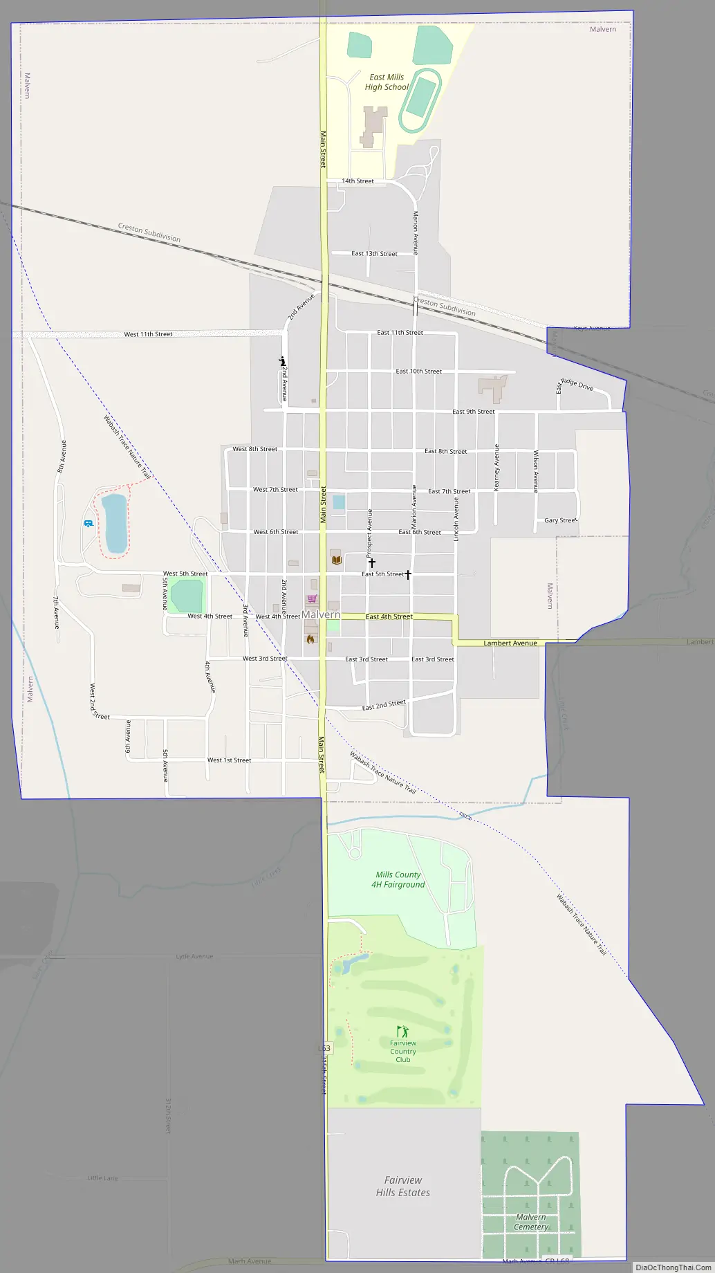
Malvern Road Map
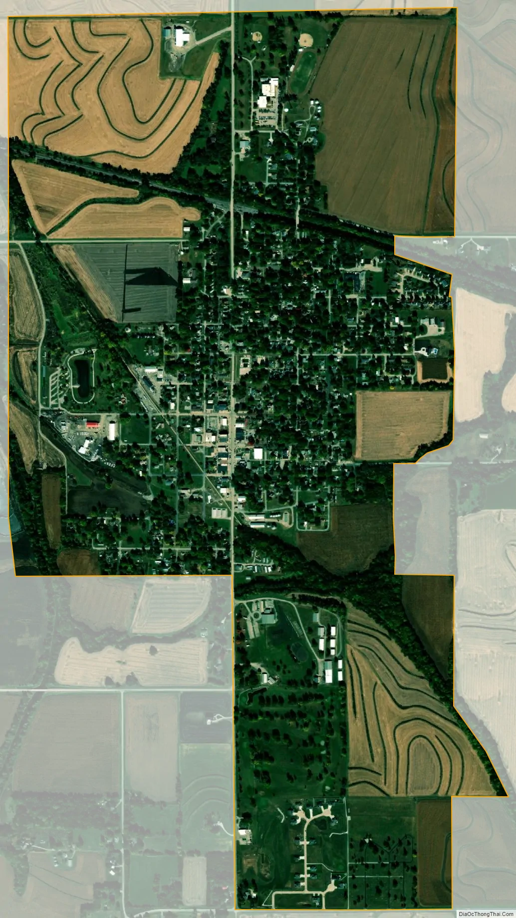
Malvern city Satellite Map
Geography
Malvern is located at 41°0′17″N 95°35′4″W / 41.00472°N 95.58444°W / 41.00472; -95.58444Coordinates: 41°0′17″N 95°35′4″W / 41.00472°N 95.58444°W / 41.00472; -95.58444.
According to the United States Census Bureau, the city has a total area of 1.19 square miles (3.08 km), all land.
See also
Map of Iowa State and its subdivision:- Adair
- Adams
- Allamakee
- Appanoose
- Audubon
- Benton
- Black Hawk
- Boone
- Bremer
- Buchanan
- Buena Vista
- Butler
- Calhoun
- Carroll
- Cass
- Cedar
- Cerro Gordo
- Cherokee
- Chickasaw
- Clarke
- Clay
- Clayton
- Clinton
- Crawford
- Dallas
- Davis
- Decatur
- Delaware
- Des Moines
- Dickinson
- Dubuque
- Emmet
- Fayette
- Floyd
- Franklin
- Fremont
- Greene
- Grundy
- Guthrie
- Hamilton
- Hancock
- Hardin
- Harrison
- Henry
- Howard
- Humboldt
- Ida
- Iowa
- Jackson
- Jasper
- Jefferson
- Johnson
- Jones
- Keokuk
- Kossuth
- Lee
- Linn
- Louisa
- Lucas
- Lyon
- Madison
- Mahaska
- Marion
- Marshall
- Mills
- Mitchell
- Monona
- Monroe
- Montgomery
- Muscatine
- O'Brien
- Osceola
- Page
- Palo Alto
- Plymouth
- Pocahontas
- Polk
- Pottawattamie
- Poweshiek
- Ringgold
- Sac
- Scott
- Shelby
- Sioux
- Story
- Tama
- Taylor
- Union
- Van Buren
- Wapello
- Warren
- Washington
- Wayne
- Webster
- Winnebago
- Winneshiek
- Woodbury
- Worth
- Wright
- Alabama
- Alaska
- Arizona
- Arkansas
- California
- Colorado
- Connecticut
- Delaware
- District of Columbia
- Florida
- Georgia
- Hawaii
- Idaho
- Illinois
- Indiana
- Iowa
- Kansas
- Kentucky
- Louisiana
- Maine
- Maryland
- Massachusetts
- Michigan
- Minnesota
- Mississippi
- Missouri
- Montana
- Nebraska
- Nevada
- New Hampshire
- New Jersey
- New Mexico
- New York
- North Carolina
- North Dakota
- Ohio
- Oklahoma
- Oregon
- Pennsylvania
- Rhode Island
- South Carolina
- South Dakota
- Tennessee
- Texas
- Utah
- Vermont
- Virginia
- Washington
- West Virginia
- Wisconsin
- Wyoming