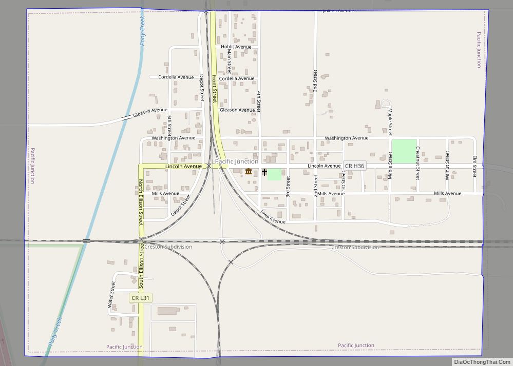
Pacific Junction is a city in Mills County, Iowa, United States. The population was 96 at the time of the 2020 census.
| Name: | Pacific Junction city |
|---|---|
| LSAD Code: | 25 |
| LSAD Description: | city (suffix) |
| State: | Iowa |
| County: | Mills County |
| Elevation: | 955 ft (291 m) |
| Total Area: | 0.76 sq mi (1.96 km²) |
| Land Area: | 0.76 sq mi (1.96 km²) |
| Water Area: | 0.00 sq mi (0.00 km²) |
| Total Population: | 96 |
| Population Density: | 126.82/sq mi (48.97/km²) |
| ZIP code: | 51561 |
| Area code: | 712 |
| FIPS code: | 1960825 |
| GNISfeature ID: | 0459983 |
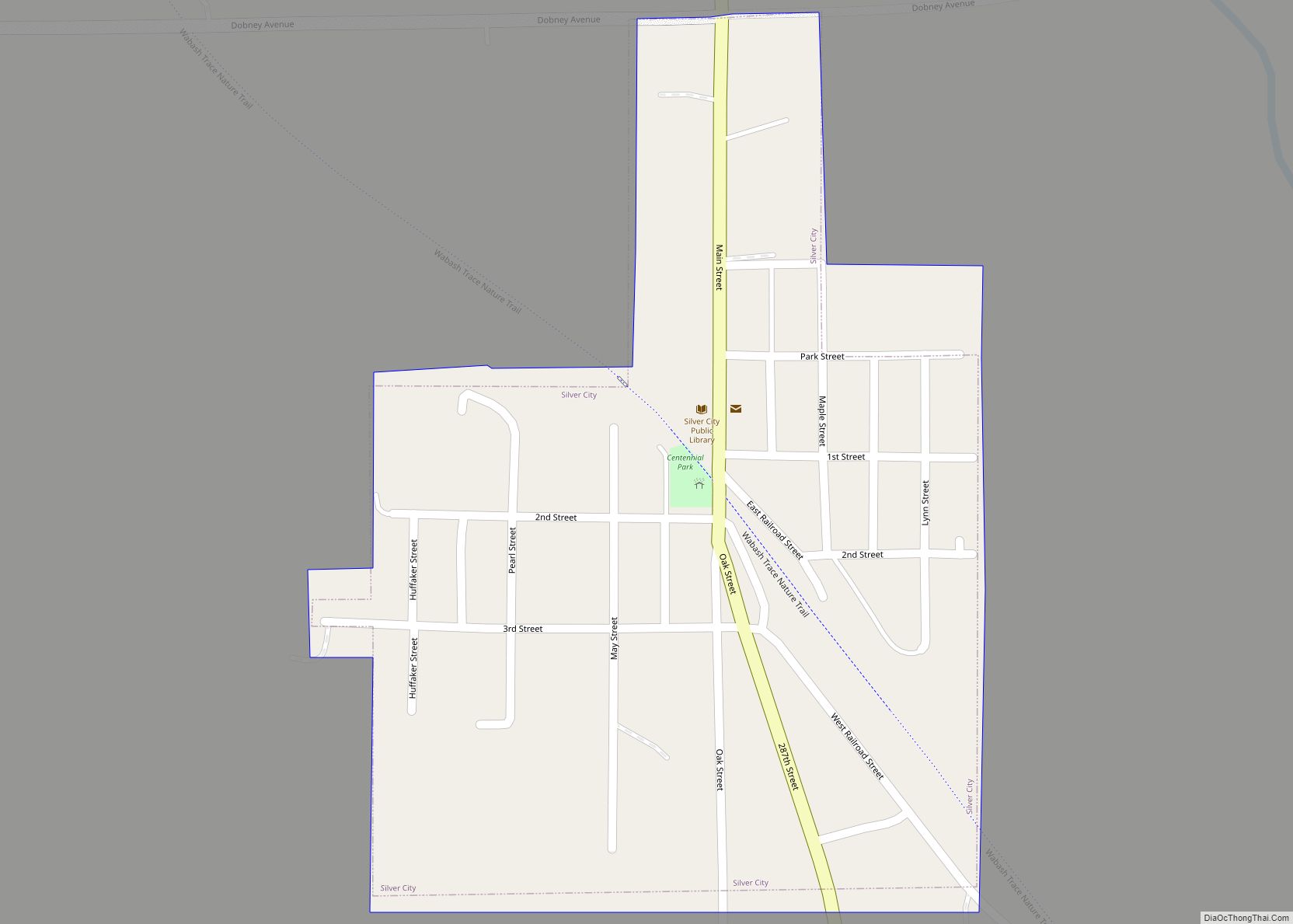
Online Interactive Map
Click on ![]() to view map in "full screen" mode.
to view map in "full screen" mode.
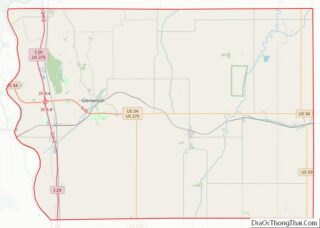
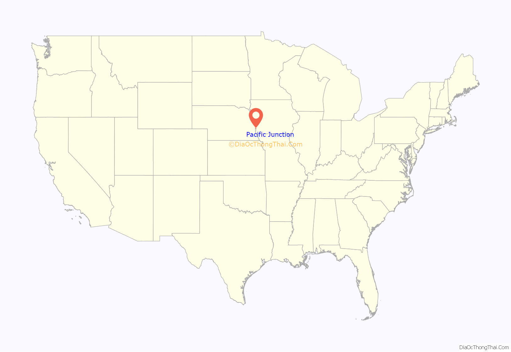
Pacific Junction location map. Where is Pacific Junction city?
History
Pacific Junction was established by the railroad in 1871 to serve as the western terminus of the Burlington and Missouri River Railroad, the eastern terminus of the Nebraska Burlington & Missouri River RR, and a station on the Kansas City, Council Bluffs, & Saint Joseph Railroad. All three were consolidated as part of the Chicago, Burlington and Quincy Railroad, today’s BNSF. After several rough and tumble years of growth Pacific Junction was incorporated in 1882. The scene of violence during the Burlington Railroad Strike of 1888, PJ’s population peaked during the early 20th century with just over 700 people. Railroad traffic through town remains almost constant although the town’s connections to the railroad have declined significantly since 1971. Historic structures include the 1914 Pacific Junction Public School which graduated its last high school class in 1961 and closed for good in 1986. On the early morning of December 3, 2021, two BNSF trains collided two locomotives and 16 cars derailed in Pacific Junction.
Pacific Junction was impacted by the 2019 Midwestern U.S. floods. Buyout funding has been allocated for local residents.
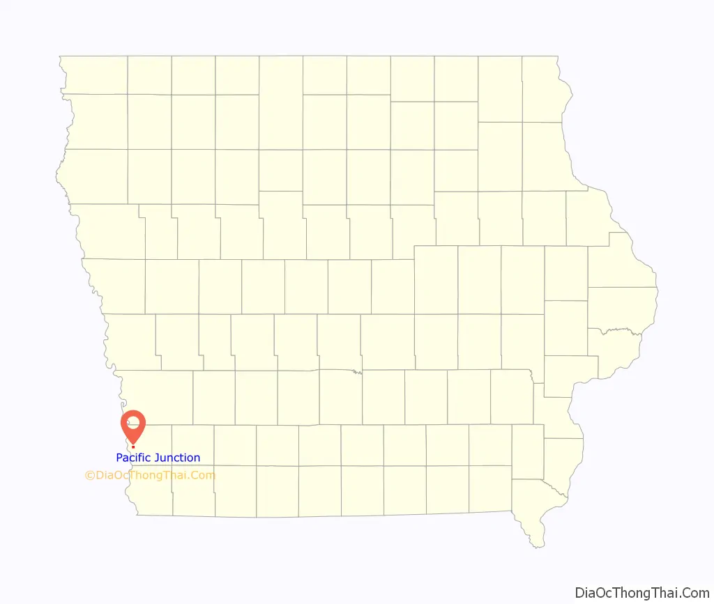
Pacific Junction Road Map

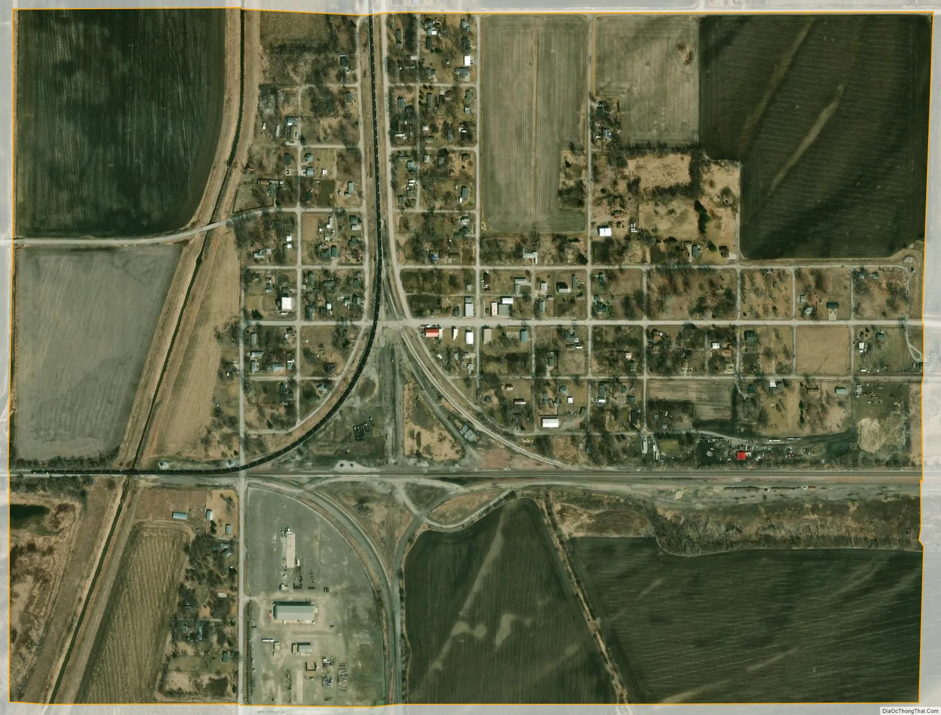
Pacific Junction city Satellite Map
Geography
Pacific Junction is located at 41°01′06″N 95°48′00″W / 41.018319°N 95.799883°W / 41.018319; -95.799883Coordinates: 41°01′06″N 95°48′00″W / 41.018319°N 95.799883°W / 41.018319; -95.799883 (41.018319, -95.799883).
According to the United States Census Bureau, the city has a total area of 0.76 square miles (1.97 km), all land.
See also
Map of Iowa State and its subdivision:- Adair
- Adams
- Allamakee
- Appanoose
- Audubon
- Benton
- Black Hawk
- Boone
- Bremer
- Buchanan
- Buena Vista
- Butler
- Calhoun
- Carroll
- Cass
- Cedar
- Cerro Gordo
- Cherokee
- Chickasaw
- Clarke
- Clay
- Clayton
- Clinton
- Crawford
- Dallas
- Davis
- Decatur
- Delaware
- Des Moines
- Dickinson
- Dubuque
- Emmet
- Fayette
- Floyd
- Franklin
- Fremont
- Greene
- Grundy
- Guthrie
- Hamilton
- Hancock
- Hardin
- Harrison
- Henry
- Howard
- Humboldt
- Ida
- Iowa
- Jackson
- Jasper
- Jefferson
- Johnson
- Jones
- Keokuk
- Kossuth
- Lee
- Linn
- Louisa
- Lucas
- Lyon
- Madison
- Mahaska
- Marion
- Marshall
- Mills
- Mitchell
- Monona
- Monroe
- Montgomery
- Muscatine
- O'Brien
- Osceola
- Page
- Palo Alto
- Plymouth
- Pocahontas
- Polk
- Pottawattamie
- Poweshiek
- Ringgold
- Sac
- Scott
- Shelby
- Sioux
- Story
- Tama
- Taylor
- Union
- Van Buren
- Wapello
- Warren
- Washington
- Wayne
- Webster
- Winnebago
- Winneshiek
- Woodbury
- Worth
- Wright
- Alabama
- Alaska
- Arizona
- Arkansas
- California
- Colorado
- Connecticut
- Delaware
- District of Columbia
- Florida
- Georgia
- Hawaii
- Idaho
- Illinois
- Indiana
- Iowa
- Kansas
- Kentucky
- Louisiana
- Maine
- Maryland
- Massachusetts
- Michigan
- Minnesota
- Mississippi
- Missouri
- Montana
- Nebraska
- Nevada
- New Hampshire
- New Jersey
- New Mexico
- New York
- North Carolina
- North Dakota
- Ohio
- Oklahoma
- Oregon
- Pennsylvania
- Rhode Island
- South Carolina
- South Dakota
- Tennessee
- Texas
- Utah
- Vermont
- Virginia
- Washington
- West Virginia
- Wisconsin
- Wyoming