Manning is a city in Carroll County, Iowa, United States, along Iowa Highway 141. The population was 1,455 at the time of the 2020 census. It is named for Orlando Harrison Manning, a Lieutenant Governor of Iowa.
| Name: | Manning city |
|---|---|
| LSAD Code: | 25 |
| LSAD Description: | city (suffix) |
| State: | Iowa |
| County: | Carroll County |
| Elevation: | 1,358 ft (414 m) |
| Total Area: | 2.48 sq mi (6.43 km²) |
| Land Area: | 2.48 sq mi (6.41 km²) |
| Water Area: | 0.01 sq mi (0.02 km²) |
| Total Population: | 1,455 |
| Population Density: | 587.64/sq mi (226.85/km²) |
| ZIP code: | 51455 |
| Area code: | 712 |
| FIPS code: | 1948945 |
| GNISfeature ID: | 0458762 |
| Website: | www.manningia.com |
Online Interactive Map
Click on ![]() to view map in "full screen" mode.
to view map in "full screen" mode.
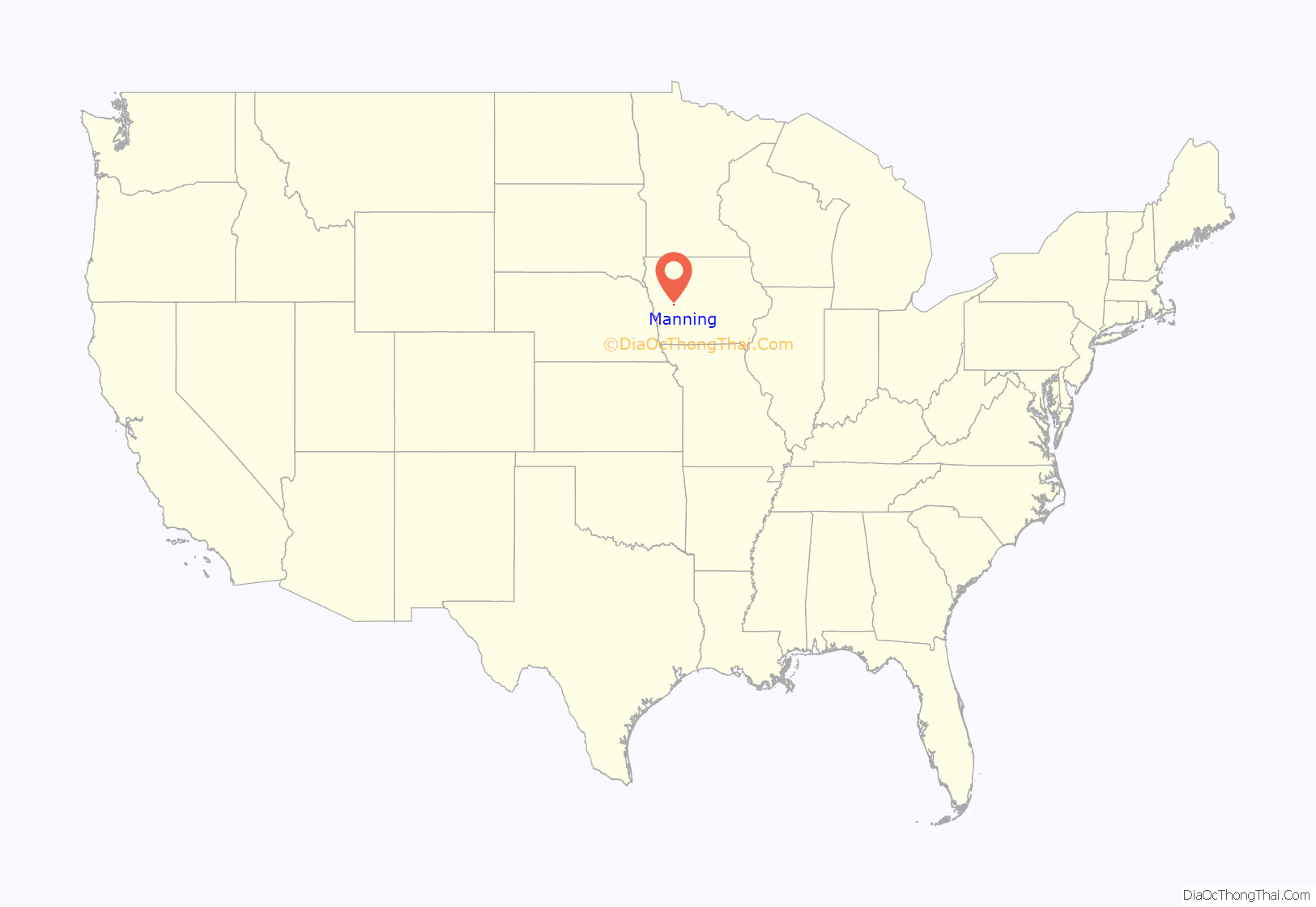
Manning location map. Where is Manning city?
History
Prior to the city’s formation, the area of Manning was a swampy region occasionally used by local Iowa (people) for hunting. There were no nearby rivers and few trees.
The Iowa Southwestern railroad was completed in 1880. Some yards and a depot were constructed at the future location of Manning in 1881. In the same year, the Chicago, Milwaukee, and St. Paul Railroad constructed a road across Iowa, south of and parallel to, the Northwest. These railroads intersected at what is now Manning.
In 1969, an unknown saboteur used dynamite to bomb one of the rails and derail the passenger train traveling on the east——west Milwaukee railroad line (presently the Burlington Northern), apparently hoping that it would careen into the Nishnabotna river below. The train came to a safe stop but only after it derailed. The crime was never solved; no group claimed responsibility and no motive for the bombing was ever discovered.
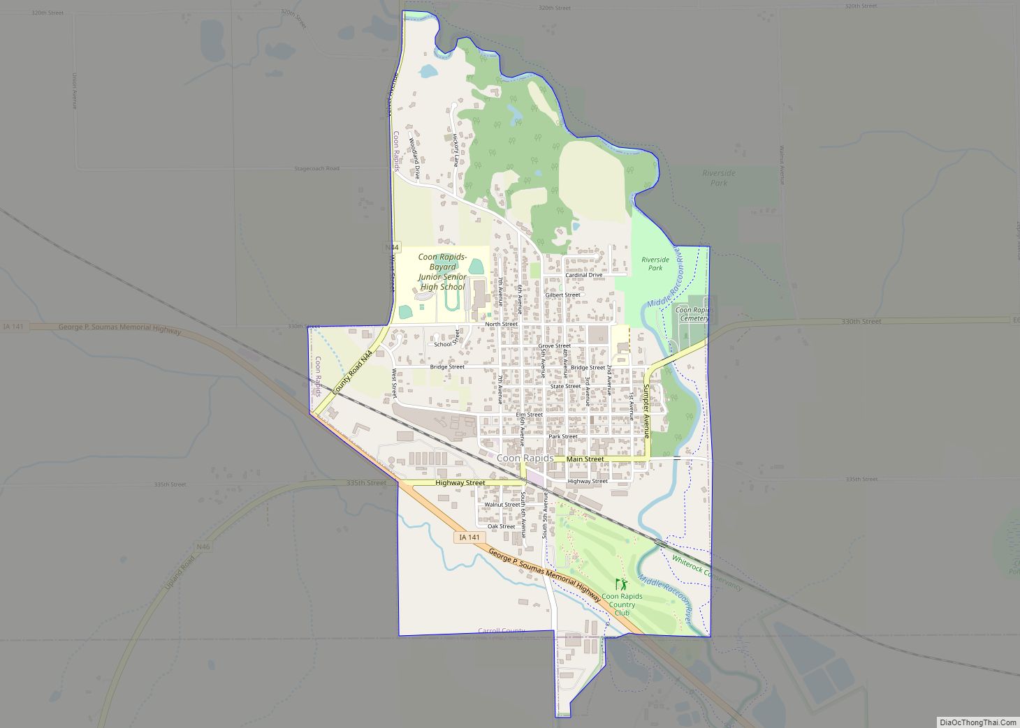
Manning Road Map
Manning city Satellite Map
Geography
Manning is located at 41°54′31″N 95°3′48″W / 41.90861°N 95.06333°W / 41.90861; -95.06333 (41.908642, -95.063218), along the West Nishnabotna River near its source.
According to the United States Census Bureau, the city has a total area of 2.50 square miles (6.47 km), of which, 2.49 square miles (6.45 km) is land and 0.01 square miles (0.03 km) is water.
See also
Map of Iowa State and its subdivision:- Adair
- Adams
- Allamakee
- Appanoose
- Audubon
- Benton
- Black Hawk
- Boone
- Bremer
- Buchanan
- Buena Vista
- Butler
- Calhoun
- Carroll
- Cass
- Cedar
- Cerro Gordo
- Cherokee
- Chickasaw
- Clarke
- Clay
- Clayton
- Clinton
- Crawford
- Dallas
- Davis
- Decatur
- Delaware
- Des Moines
- Dickinson
- Dubuque
- Emmet
- Fayette
- Floyd
- Franklin
- Fremont
- Greene
- Grundy
- Guthrie
- Hamilton
- Hancock
- Hardin
- Harrison
- Henry
- Howard
- Humboldt
- Ida
- Iowa
- Jackson
- Jasper
- Jefferson
- Johnson
- Jones
- Keokuk
- Kossuth
- Lee
- Linn
- Louisa
- Lucas
- Lyon
- Madison
- Mahaska
- Marion
- Marshall
- Mills
- Mitchell
- Monona
- Monroe
- Montgomery
- Muscatine
- O'Brien
- Osceola
- Page
- Palo Alto
- Plymouth
- Pocahontas
- Polk
- Pottawattamie
- Poweshiek
- Ringgold
- Sac
- Scott
- Shelby
- Sioux
- Story
- Tama
- Taylor
- Union
- Van Buren
- Wapello
- Warren
- Washington
- Wayne
- Webster
- Winnebago
- Winneshiek
- Woodbury
- Worth
- Wright
- Alabama
- Alaska
- Arizona
- Arkansas
- California
- Colorado
- Connecticut
- Delaware
- District of Columbia
- Florida
- Georgia
- Hawaii
- Idaho
- Illinois
- Indiana
- Iowa
- Kansas
- Kentucky
- Louisiana
- Maine
- Maryland
- Massachusetts
- Michigan
- Minnesota
- Mississippi
- Missouri
- Montana
- Nebraska
- Nevada
- New Hampshire
- New Jersey
- New Mexico
- New York
- North Carolina
- North Dakota
- Ohio
- Oklahoma
- Oregon
- Pennsylvania
- Rhode Island
- South Carolina
- South Dakota
- Tennessee
- Texas
- Utah
- Vermont
- Virginia
- Washington
- West Virginia
- Wisconsin
- Wyoming


