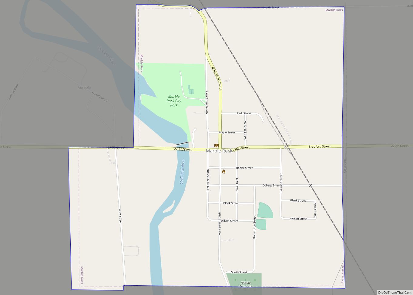
Marble Rock is a city in Floyd County, Iowa, United States, along the Shell Rock River. The population was 271 at the time of the 2020 census. Marble Rock has a city park, historical museums, a powerhouse on the river, and a veterans’ memorial. The Marble Rock Historical Society has a website with information about the museums. [1]
| Name: | Marble Rock city |
|---|---|
| LSAD Code: | 25 |
| LSAD Description: | city (suffix) |
| State: | Iowa |
| County: | Floyd County |
| Elevation: | 1,001 ft (305 m) |
| Total Area: | 0.87 sq mi (2.25 km²) |
| Land Area: | 0.83 sq mi (2.16 km²) |
| Water Area: | 0.04 sq mi (0.10 km²) |
| Total Population: | 271 |
| Population Density: | 325.72/sq mi (125.72/km²) |
| ZIP code: | 50653 |
| Area code: | 641 |
| FIPS code: | 1949305 |
| GNISfeature ID: | 0458797 |
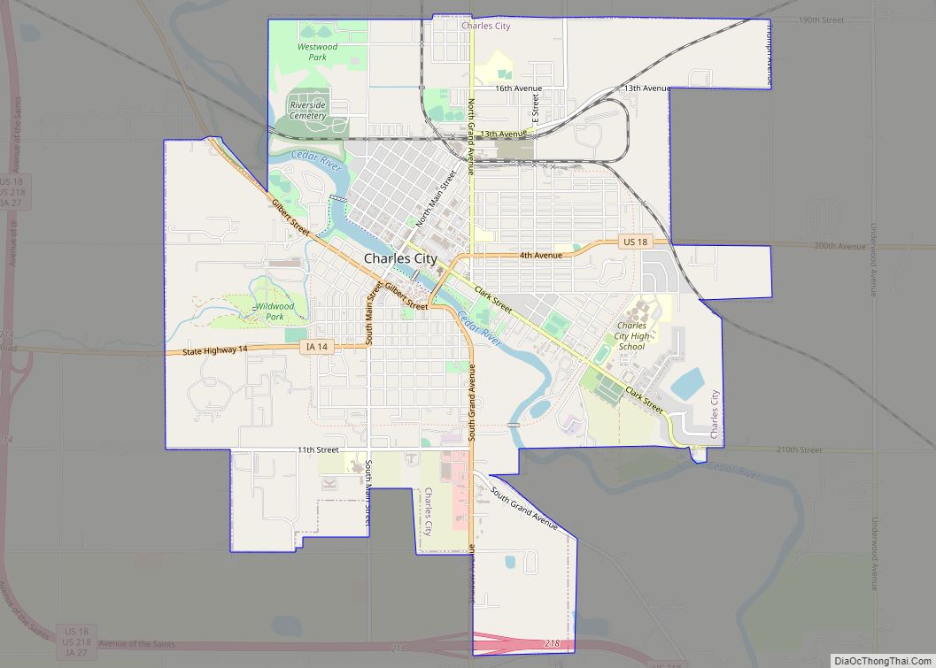
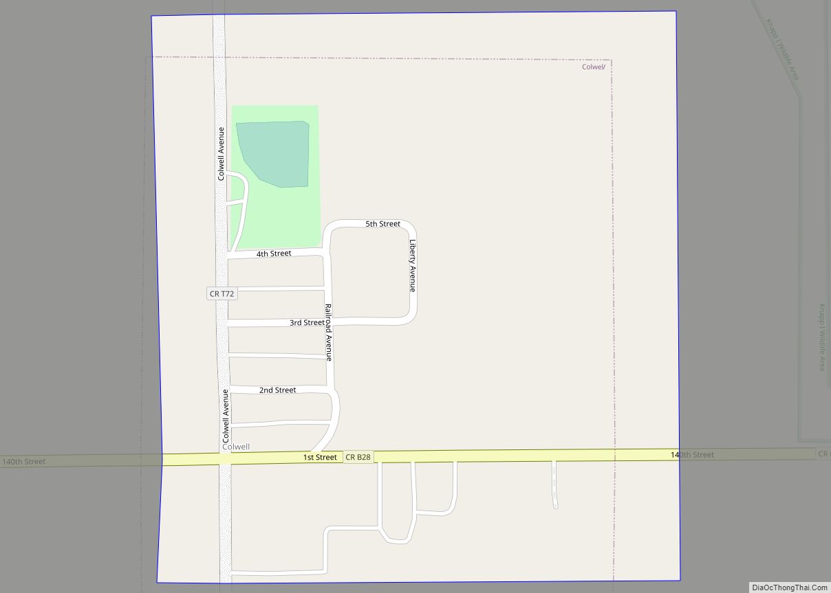
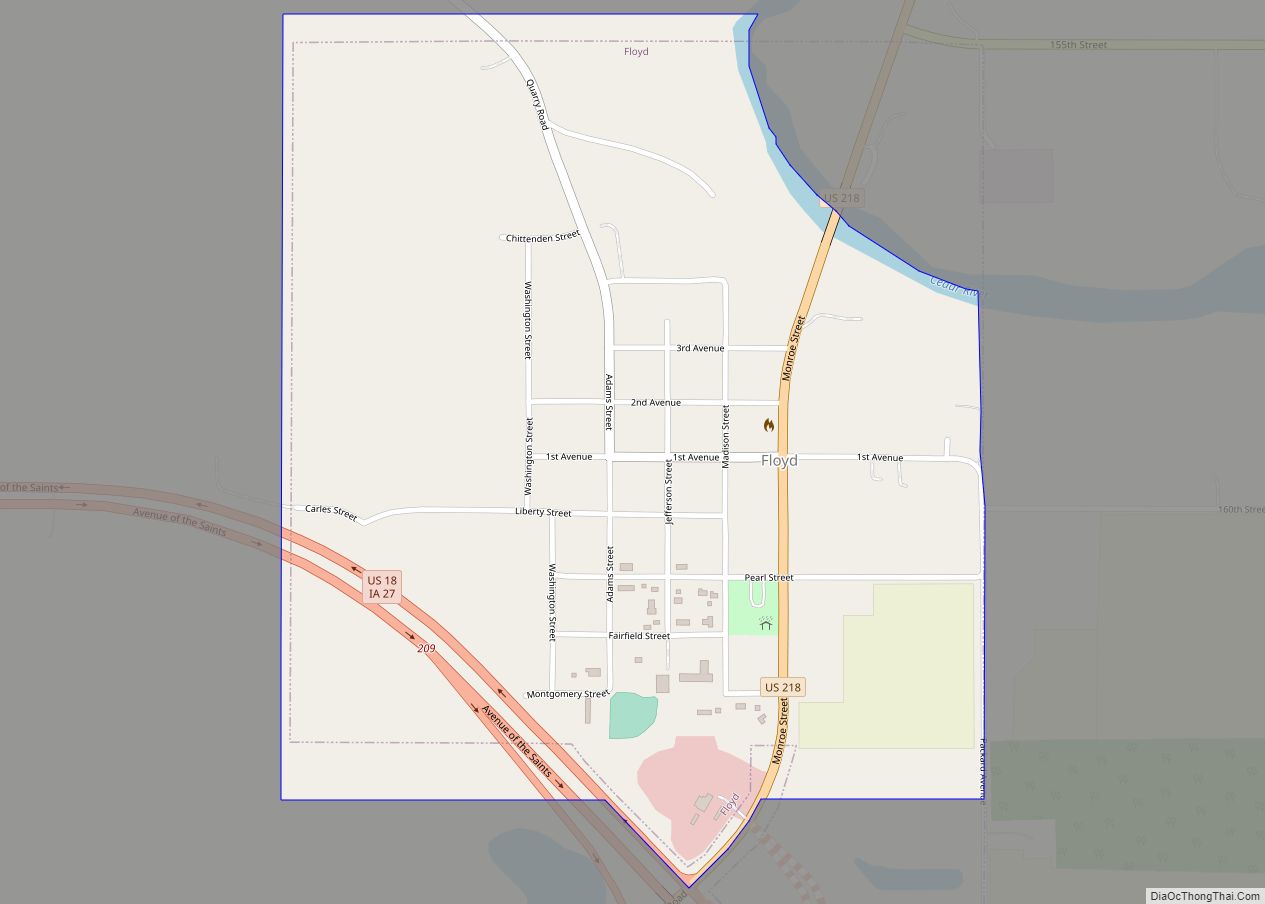
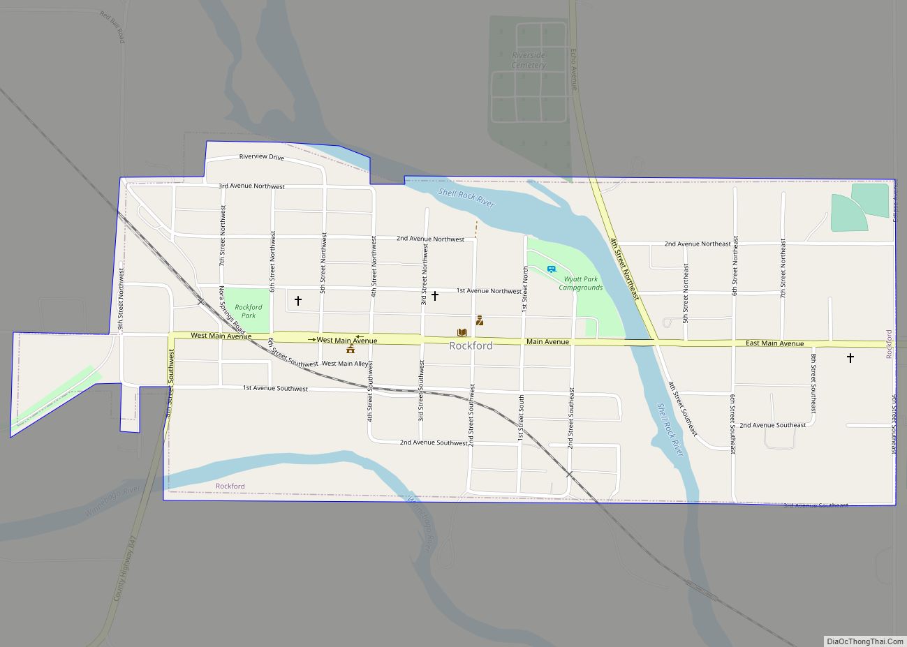
Online Interactive Map
Click on ![]() to view map in "full screen" mode.
to view map in "full screen" mode.
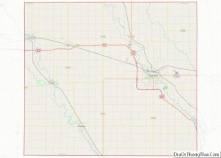
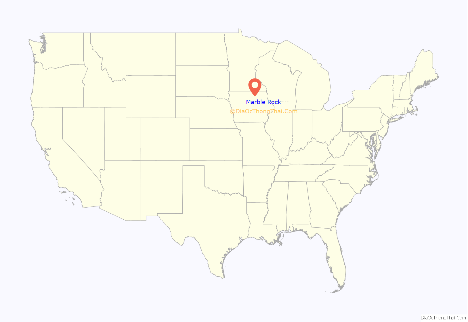
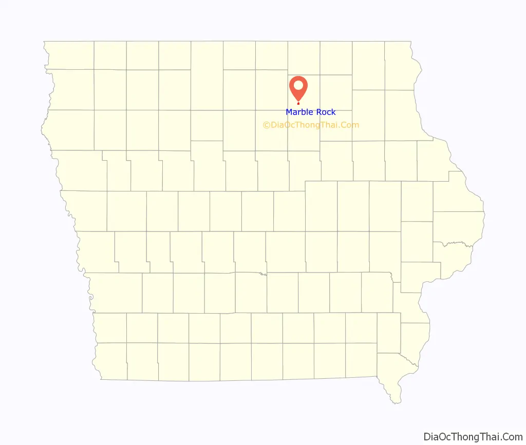
Marble Rock location map. Where is Marble Rock city?
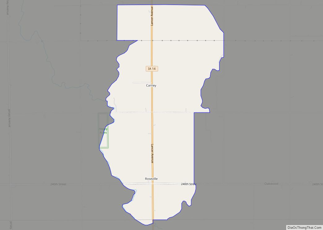
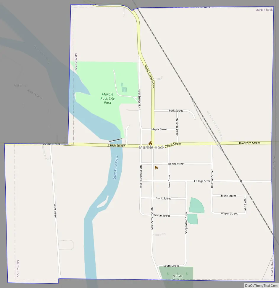
Marble Rock Road Map
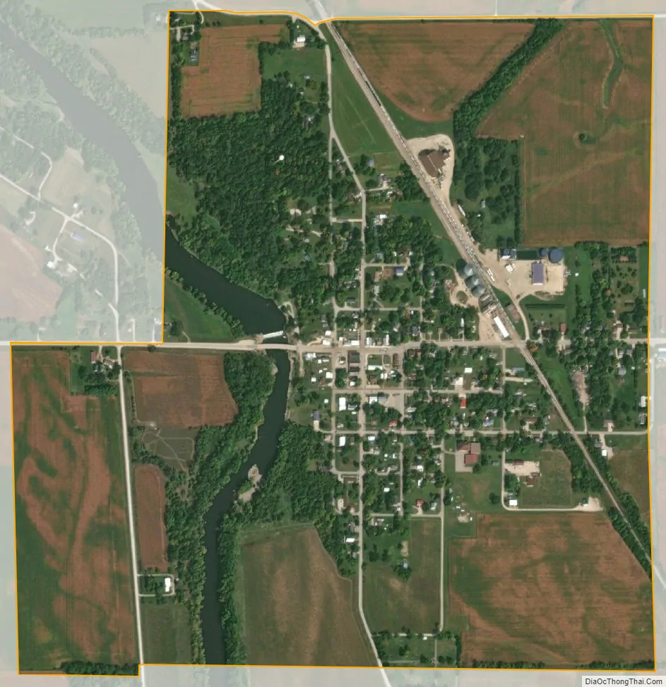
Marble Rock city Satellite Map
Geography
Marble Rock is located at 42°57′53″N 92°52′4″W / 42.96472°N 92.86778°W / 42.96472; -92.86778 (42.964695, -92.867786). Its name derives from the presence of white limestone in the area. The Shell Rock River runs through the west side of town and is available for fishermen and small watercraft. There is a portage around the dam, on the west side of the river, for canoes.
According to the United States Census Bureau, the city has a total area of 0.87 square miles (2.25 km), of which 0.83 square miles (2.15 km) is land and 0.04 square miles (0.10 km) is water.
See also
Map of Iowa State and its subdivision:- Adair
- Adams
- Allamakee
- Appanoose
- Audubon
- Benton
- Black Hawk
- Boone
- Bremer
- Buchanan
- Buena Vista
- Butler
- Calhoun
- Carroll
- Cass
- Cedar
- Cerro Gordo
- Cherokee
- Chickasaw
- Clarke
- Clay
- Clayton
- Clinton
- Crawford
- Dallas
- Davis
- Decatur
- Delaware
- Des Moines
- Dickinson
- Dubuque
- Emmet
- Fayette
- Floyd
- Franklin
- Fremont
- Greene
- Grundy
- Guthrie
- Hamilton
- Hancock
- Hardin
- Harrison
- Henry
- Howard
- Humboldt
- Ida
- Iowa
- Jackson
- Jasper
- Jefferson
- Johnson
- Jones
- Keokuk
- Kossuth
- Lee
- Linn
- Louisa
- Lucas
- Lyon
- Madison
- Mahaska
- Marion
- Marshall
- Mills
- Mitchell
- Monona
- Monroe
- Montgomery
- Muscatine
- O'Brien
- Osceola
- Page
- Palo Alto
- Plymouth
- Pocahontas
- Polk
- Pottawattamie
- Poweshiek
- Ringgold
- Sac
- Scott
- Shelby
- Sioux
- Story
- Tama
- Taylor
- Union
- Van Buren
- Wapello
- Warren
- Washington
- Wayne
- Webster
- Winnebago
- Winneshiek
- Woodbury
- Worth
- Wright
- Alabama
- Alaska
- Arizona
- Arkansas
- California
- Colorado
- Connecticut
- Delaware
- District of Columbia
- Florida
- Georgia
- Hawaii
- Idaho
- Illinois
- Indiana
- Iowa
- Kansas
- Kentucky
- Louisiana
- Maine
- Maryland
- Massachusetts
- Michigan
- Minnesota
- Mississippi
- Missouri
- Montana
- Nebraska
- Nevada
- New Hampshire
- New Jersey
- New Mexico
- New York
- North Carolina
- North Dakota
- Ohio
- Oklahoma
- Oregon
- Pennsylvania
- Rhode Island
- South Carolina
- South Dakota
- Tennessee
- Texas
- Utah
- Vermont
- Virginia
- Washington
- West Virginia
- Wisconsin
- Wyoming