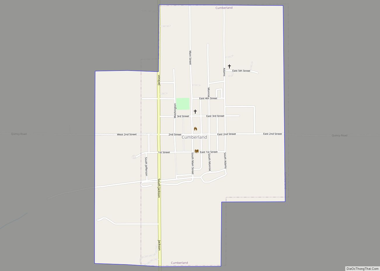
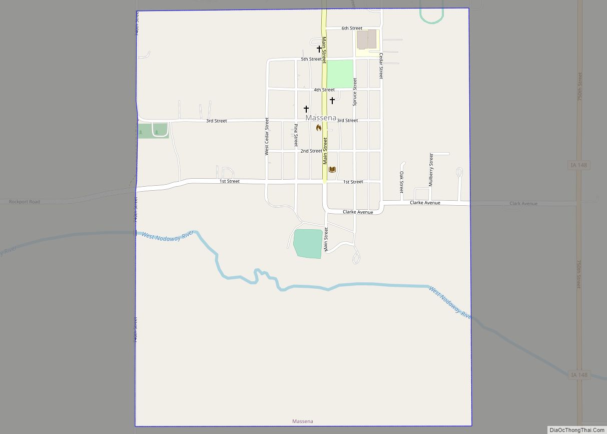
Massena is a city in Cass County, Iowa, United States. The population was 359 at the time of the 2020 census. Massena’s motto is: “The Home of Friendly People”. Massena’s sister community is Cumberland, Iowa. Massena is named after Massena, New York.
| Name: | Massena city |
|---|---|
| LSAD Code: | 25 |
| LSAD Description: | city (suffix) |
| State: | Iowa |
| County: | Cass County |
| Elevation: | 1,273 ft (388 m) |
| Total Area: | 0.69 sq mi (1.77 km²) |
| Land Area: | 0.69 sq mi (1.77 km²) |
| Water Area: | 0.00 sq mi (0.00 km²) |
| Total Population: | 359 |
| Population Density: | 524.09/sq mi (202.43/km²) |
| ZIP code: | 50853 |
| Area code: | 712 |
| FIPS code: | 1950250 |
| GNISfeature ID: | 0458849 |
| Website: | http://www.cityofmassena.com/ |
Online Interactive Map
Click on ![]() to view map in "full screen" mode.
to view map in "full screen" mode.
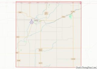
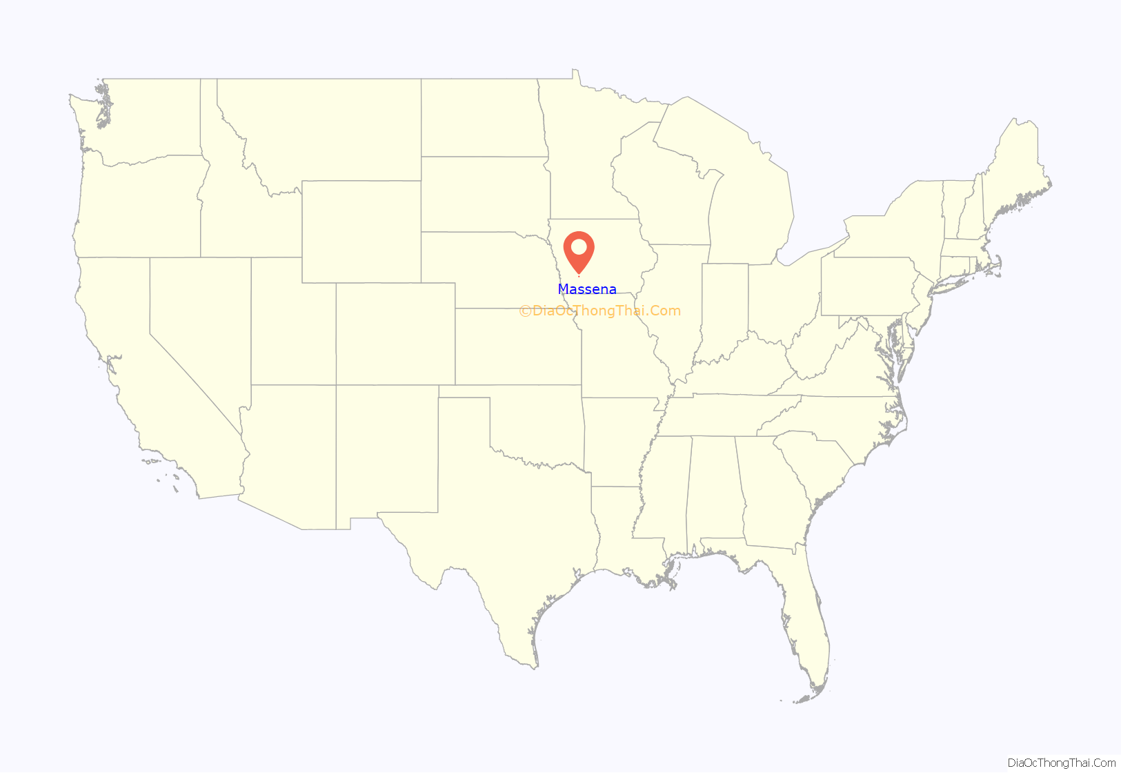
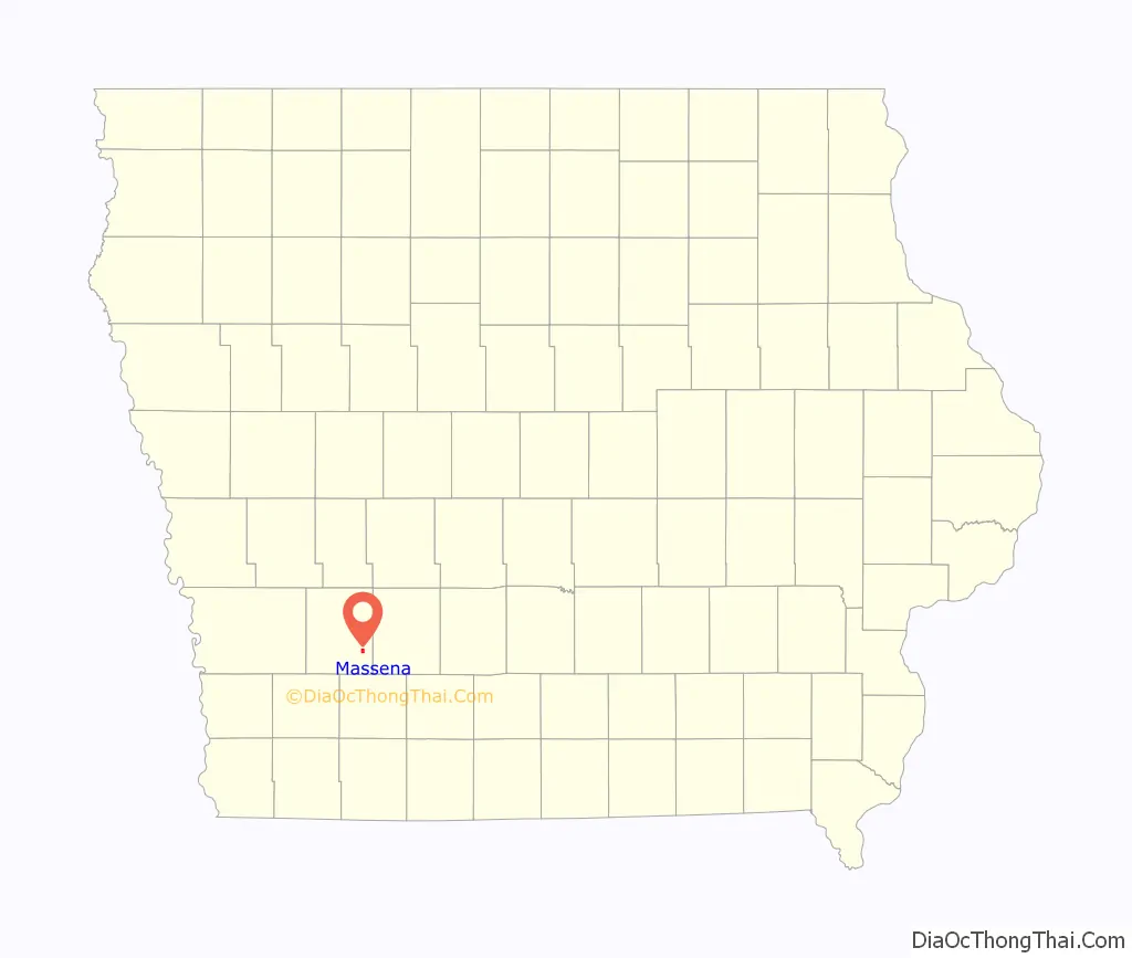
Massena location map. Where is Massena city?
History
The city of Massena was platted by the Chicago, Burlington and Quincy Railroad on land purchased from A. Vredenburgh in 1883 and 1884 that included most of Section 33 of Cass County. The incorporated city was platted in 1886. The first meeting of the city council was on March 21, 1887 and a special election was held on December 10, 1887 to enlarge the corporate limits to include all of section 33. The city was platted with the name of “Smith”, but the post office authorities refused the name because of another city with a similar spelling.
Lume A. Stone, an American Civil War soldier from Massena, New York, suggested Massena after his hometown, and thus the name of the township and town. Massena, New York was named after a French Marshal under Napoleon, André Masséna.
Massena Road Map
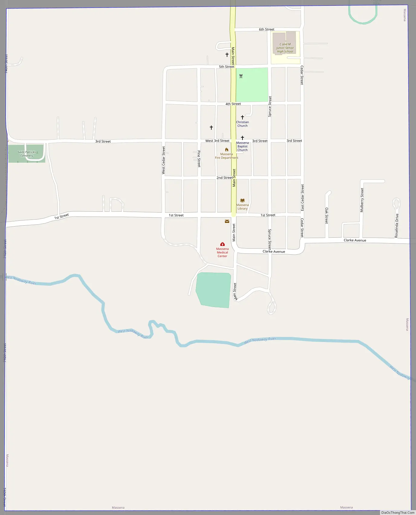
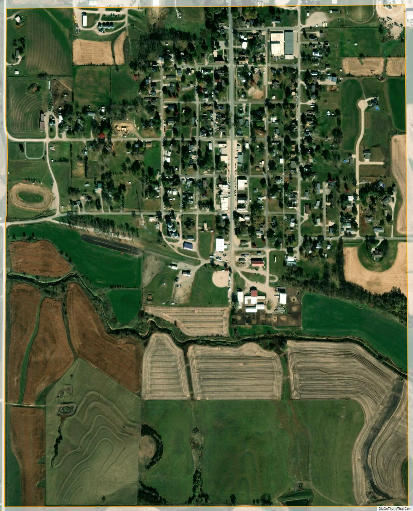
Massena city Satellite Map
Geography
Massena is located at 41°15′14″N 94°46′8″W / 41.25389°N 94.76889°W / 41.25389; -94.76889 (41.253802, -94.768866), among the rolling hills of Iowa at the intersection of Iowa highways 92 and 148.
According to the United States Census Bureau, the city has a total area of 0.69 square miles (1.79 km), all land. Massena is located approximately halfway between Des Moines and Omaha, Nebraska, 15 miles south of Interstate 80.
See also
Map of Iowa State and its subdivision:- Adair
- Adams
- Allamakee
- Appanoose
- Audubon
- Benton
- Black Hawk
- Boone
- Bremer
- Buchanan
- Buena Vista
- Butler
- Calhoun
- Carroll
- Cass
- Cedar
- Cerro Gordo
- Cherokee
- Chickasaw
- Clarke
- Clay
- Clayton
- Clinton
- Crawford
- Dallas
- Davis
- Decatur
- Delaware
- Des Moines
- Dickinson
- Dubuque
- Emmet
- Fayette
- Floyd
- Franklin
- Fremont
- Greene
- Grundy
- Guthrie
- Hamilton
- Hancock
- Hardin
- Harrison
- Henry
- Howard
- Humboldt
- Ida
- Iowa
- Jackson
- Jasper
- Jefferson
- Johnson
- Jones
- Keokuk
- Kossuth
- Lee
- Linn
- Louisa
- Lucas
- Lyon
- Madison
- Mahaska
- Marion
- Marshall
- Mills
- Mitchell
- Monona
- Monroe
- Montgomery
- Muscatine
- O'Brien
- Osceola
- Page
- Palo Alto
- Plymouth
- Pocahontas
- Polk
- Pottawattamie
- Poweshiek
- Ringgold
- Sac
- Scott
- Shelby
- Sioux
- Story
- Tama
- Taylor
- Union
- Van Buren
- Wapello
- Warren
- Washington
- Wayne
- Webster
- Winnebago
- Winneshiek
- Woodbury
- Worth
- Wright
- Alabama
- Alaska
- Arizona
- Arkansas
- California
- Colorado
- Connecticut
- Delaware
- District of Columbia
- Florida
- Georgia
- Hawaii
- Idaho
- Illinois
- Indiana
- Iowa
- Kansas
- Kentucky
- Louisiana
- Maine
- Maryland
- Massachusetts
- Michigan
- Minnesota
- Mississippi
- Missouri
- Montana
- Nebraska
- Nevada
- New Hampshire
- New Jersey
- New Mexico
- New York
- North Carolina
- North Dakota
- Ohio
- Oklahoma
- Oregon
- Pennsylvania
- Rhode Island
- South Carolina
- South Dakota
- Tennessee
- Texas
- Utah
- Vermont
- Virginia
- Washington
- West Virginia
- Wisconsin
- Wyoming