Miles is a small city in southeastern Jackson County, Iowa, United States. The population was 408 at the time of the 2020 census.
| Name: | Miles city |
|---|---|
| LSAD Code: | 25 |
| LSAD Description: | city (suffix) |
| State: | Iowa |
| County: | Jackson County |
| Incorporated: | May 4, 1893 |
| Elevation: | 801 ft (244 m) |
| Total Area: | 1.26 sq mi (3.27 km²) |
| Land Area: | 1.26 sq mi (3.27 km²) |
| Water Area: | 0.00 sq mi (0.00 km²) |
| Total Population: | 408 |
| Population Density: | 322.78/sq mi (124.65/km²) |
| ZIP code: | 52064 |
| Area code: | 563 |
| FIPS code: | 1952050 |
| GNISfeature ID: | 0459074 |
| Website: | www.milesiowa.org |
Online Interactive Map
Click on ![]() to view map in "full screen" mode.
to view map in "full screen" mode.
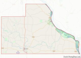
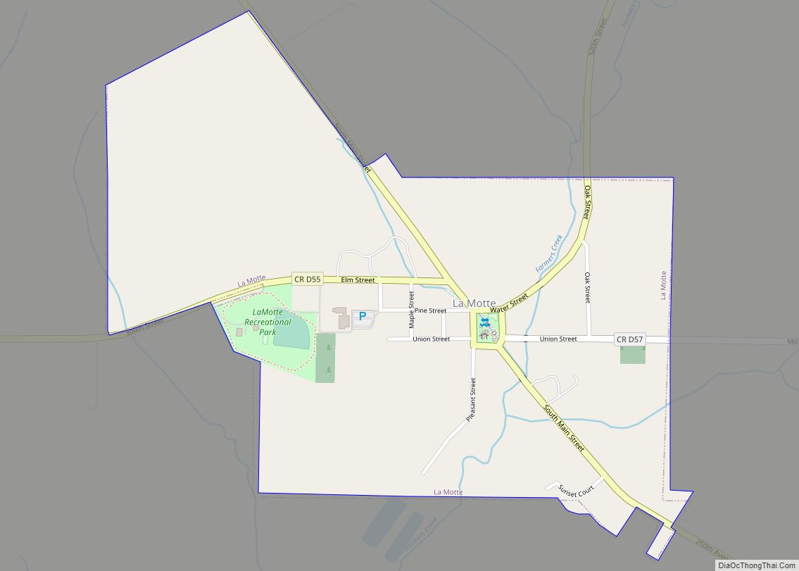
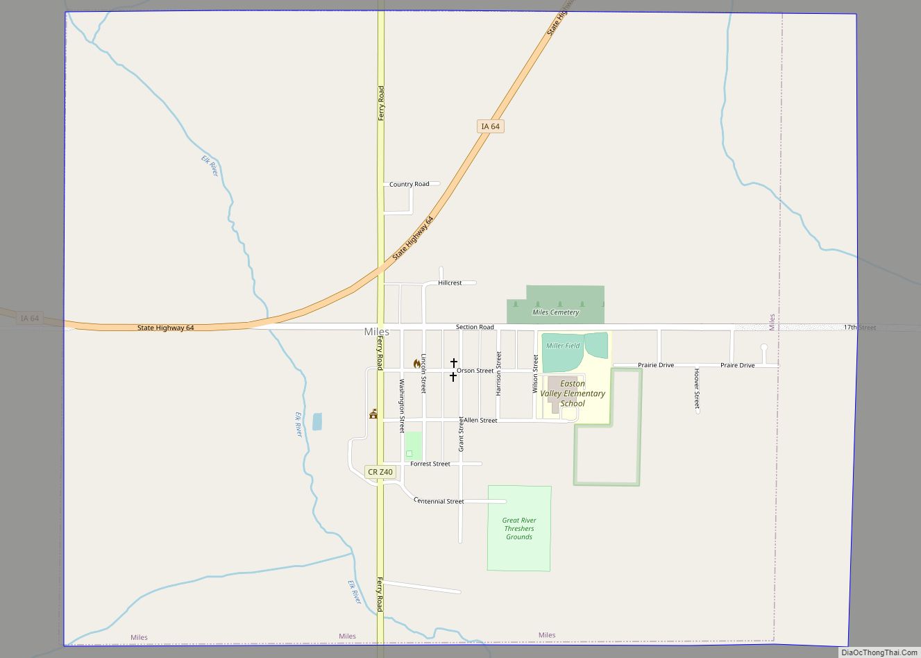
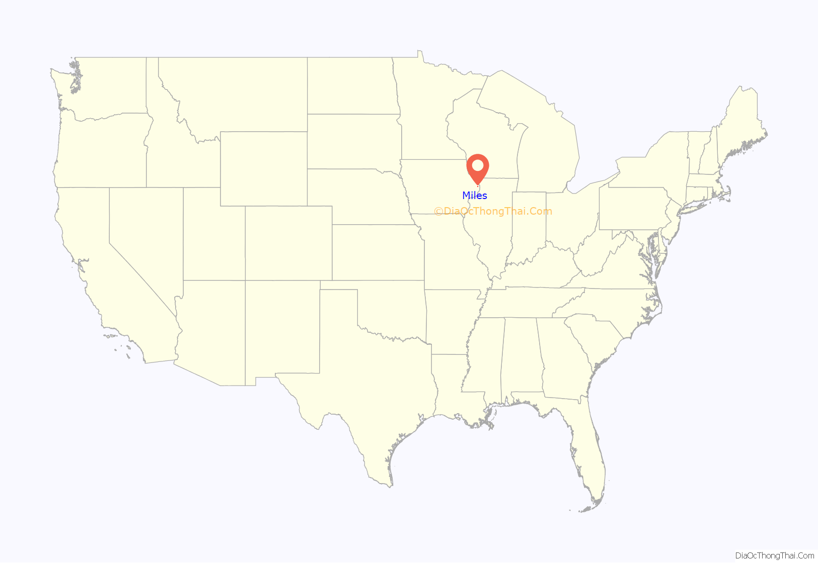
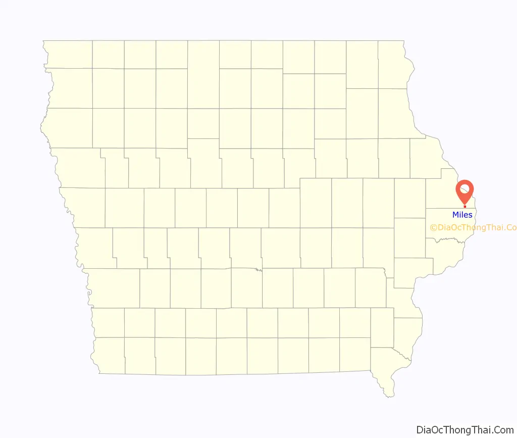
Miles location map. Where is Miles city?
History
In 1870, Miles was founded in anticipation of a railroad which would be built through the territory. The town was named for its founder, F. M. Miles.
In 1871, Miles was formally laid out, with the first house being built the following year, in 1872.
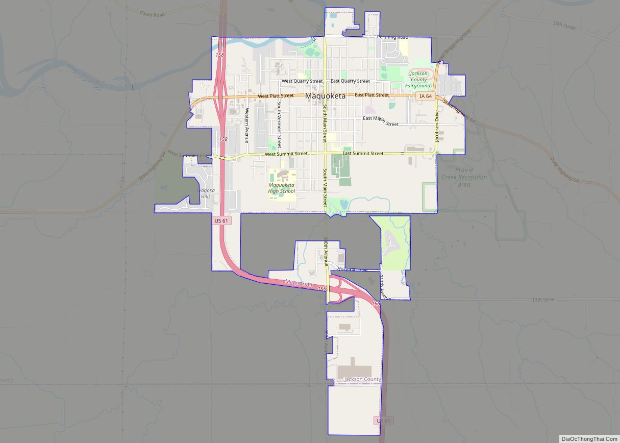
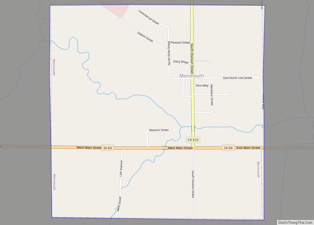
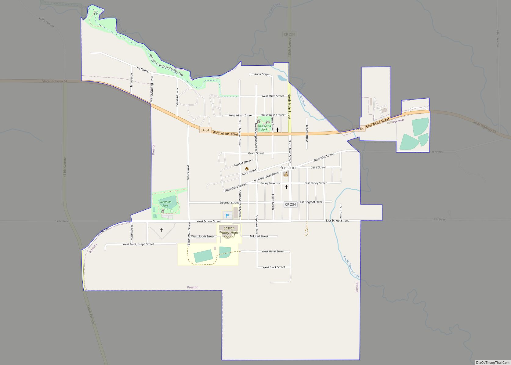
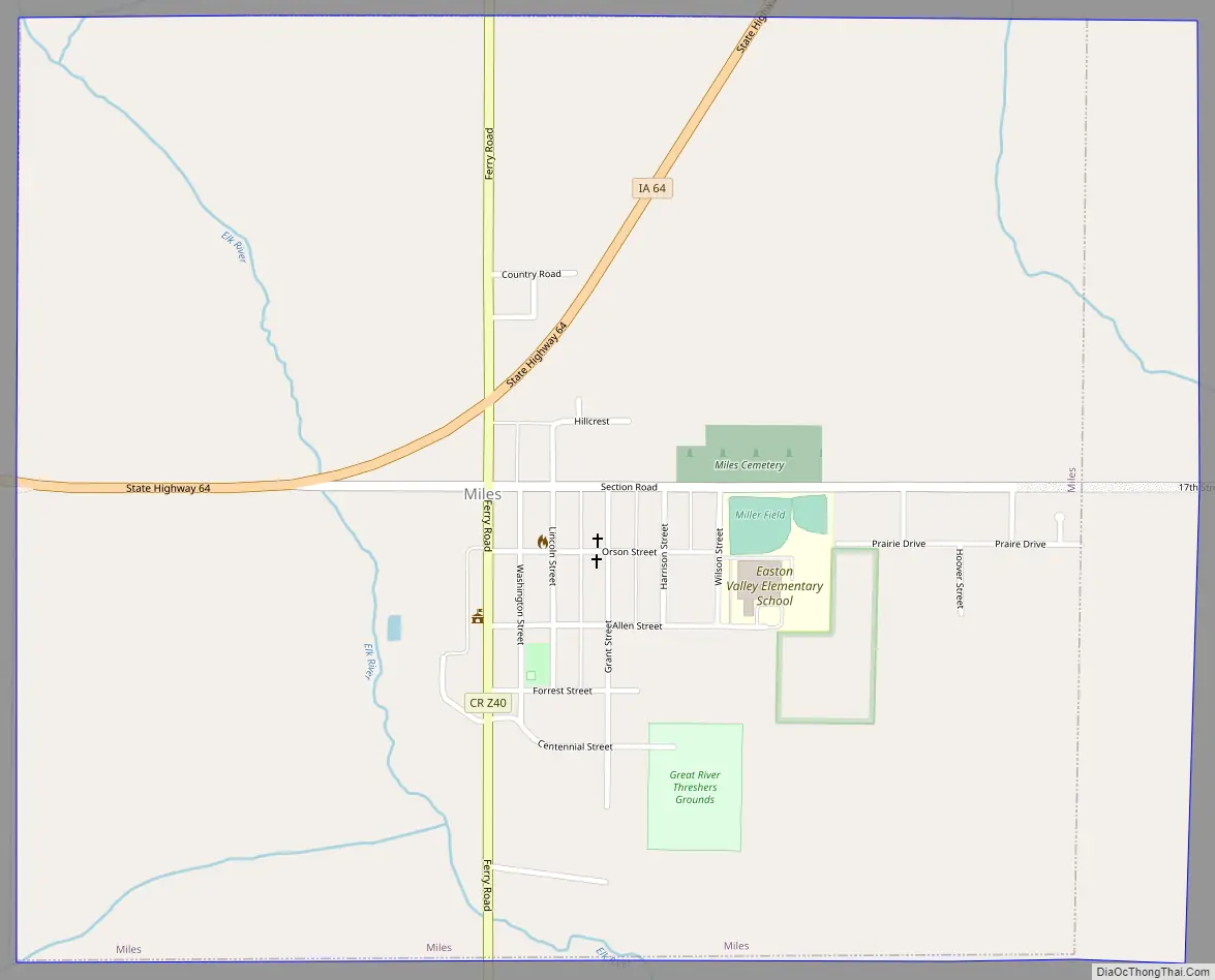
Miles Road Map
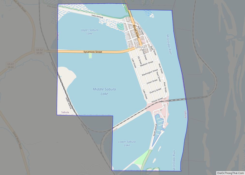
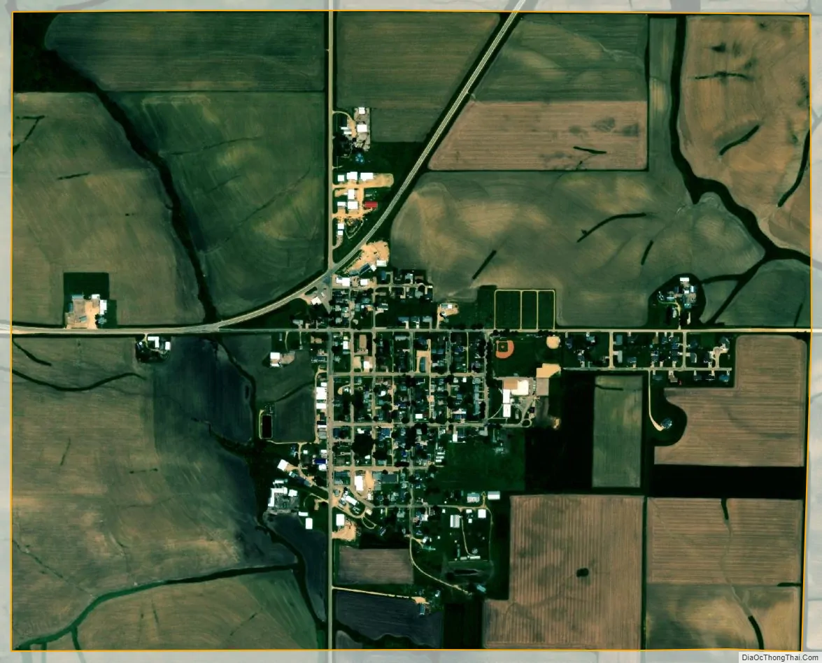
Miles city Satellite Map
Geography
Miles is located at 42°2′51″N 90°18′54″W / 42.04750°N 90.31500°W / 42.04750; -90.31500 (42.047601, -90.314931).
According to the United States Census Bureau, the city has a total area of 1.15 square miles (2.98 km; 297.85 ha), all land.
See also
Map of Iowa State and its subdivision:- Adair
- Adams
- Allamakee
- Appanoose
- Audubon
- Benton
- Black Hawk
- Boone
- Bremer
- Buchanan
- Buena Vista
- Butler
- Calhoun
- Carroll
- Cass
- Cedar
- Cerro Gordo
- Cherokee
- Chickasaw
- Clarke
- Clay
- Clayton
- Clinton
- Crawford
- Dallas
- Davis
- Decatur
- Delaware
- Des Moines
- Dickinson
- Dubuque
- Emmet
- Fayette
- Floyd
- Franklin
- Fremont
- Greene
- Grundy
- Guthrie
- Hamilton
- Hancock
- Hardin
- Harrison
- Henry
- Howard
- Humboldt
- Ida
- Iowa
- Jackson
- Jasper
- Jefferson
- Johnson
- Jones
- Keokuk
- Kossuth
- Lee
- Linn
- Louisa
- Lucas
- Lyon
- Madison
- Mahaska
- Marion
- Marshall
- Mills
- Mitchell
- Monona
- Monroe
- Montgomery
- Muscatine
- O'Brien
- Osceola
- Page
- Palo Alto
- Plymouth
- Pocahontas
- Polk
- Pottawattamie
- Poweshiek
- Ringgold
- Sac
- Scott
- Shelby
- Sioux
- Story
- Tama
- Taylor
- Union
- Van Buren
- Wapello
- Warren
- Washington
- Wayne
- Webster
- Winnebago
- Winneshiek
- Woodbury
- Worth
- Wright
- Alabama
- Alaska
- Arizona
- Arkansas
- California
- Colorado
- Connecticut
- Delaware
- District of Columbia
- Florida
- Georgia
- Hawaii
- Idaho
- Illinois
- Indiana
- Iowa
- Kansas
- Kentucky
- Louisiana
- Maine
- Maryland
- Massachusetts
- Michigan
- Minnesota
- Mississippi
- Missouri
- Montana
- Nebraska
- Nevada
- New Hampshire
- New Jersey
- New Mexico
- New York
- North Carolina
- North Dakota
- Ohio
- Oklahoma
- Oregon
- Pennsylvania
- Rhode Island
- South Carolina
- South Dakota
- Tennessee
- Texas
- Utah
- Vermont
- Virginia
- Washington
- West Virginia
- Wisconsin
- Wyoming