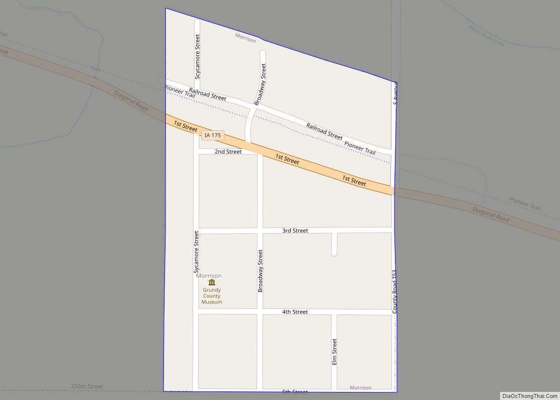
Morrison is a city in Grundy County, Iowa, United States. The population was 98 at the time of the 2020 census. It is part of the Waterloo–Cedar Falls Metropolitan Statistical Area. In the 2019 city election, the city of Morrison reelected The Honorable David Hach as Mayor to his third term. He has brought significant reforms to the city, including paving roads, flood water mitigation and leading through reconstruction following the devastating derecho of 2020 which caused damage to numerous homes and trees throughout the community.
| Name: | Morrison city |
|---|---|
| LSAD Code: | 25 |
| LSAD Description: | city (suffix) |
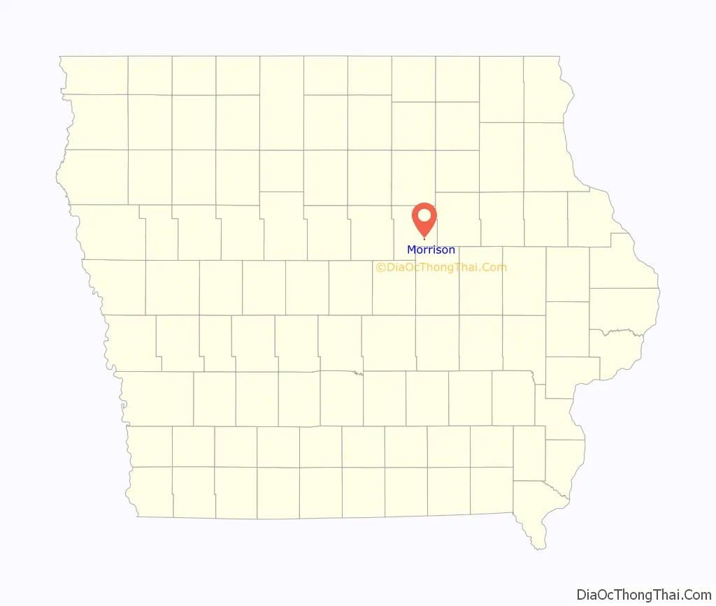
| State: | Iowa |
| County: | Grundy County |
| Elevation: | 951 ft (290 m) |
| Total Area: | 0.10 sq mi (0.25 km²) |
| Land Area: | 0.10 sq mi (0.25 km²) |
| Water Area: | 0.00 sq mi (0.00 km²) |
| Total Population: | 98 |
| Population Density: | 1,031.58/sq mi (398.69/km²) |
| ZIP code: | 50657 |
| Area code: | 319 |
| FIPS code: | 1954165 |
| GNISfeature ID: | 0459246 |
Online Interactive Map
Click on ![]() to view map in "full screen" mode.
to view map in "full screen" mode.
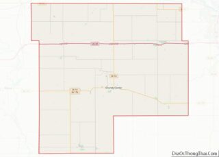
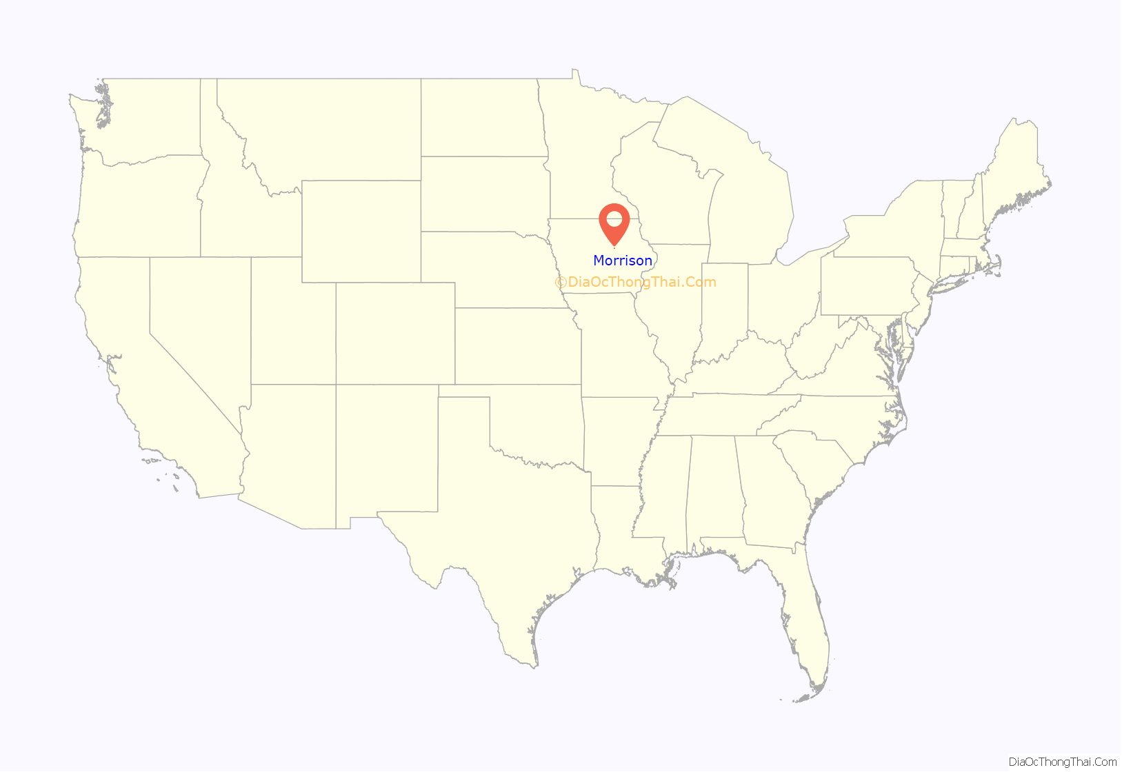
Morrison location map. Where is Morrison city?
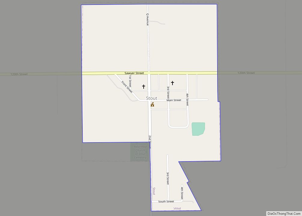
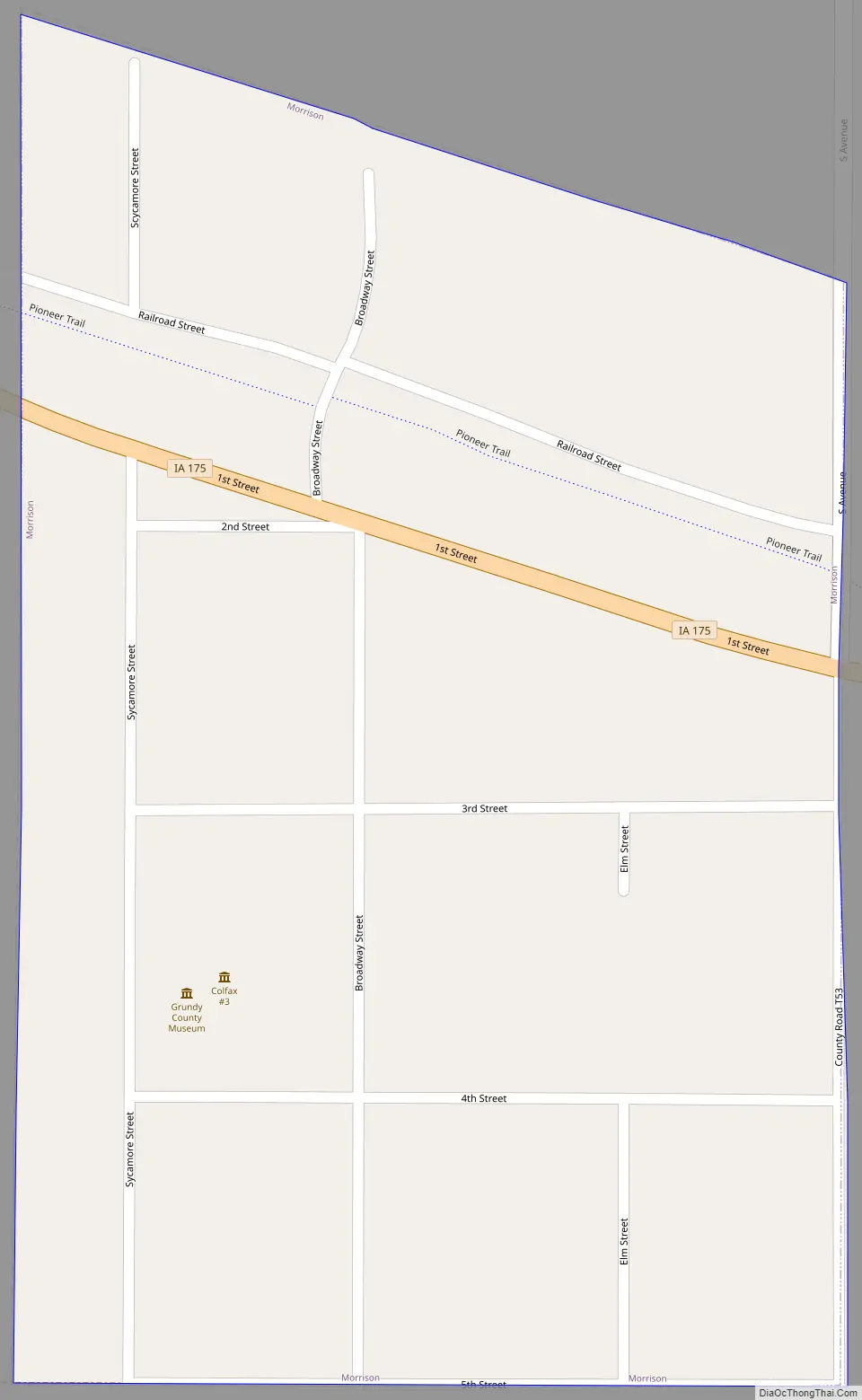
Morrison Road Map
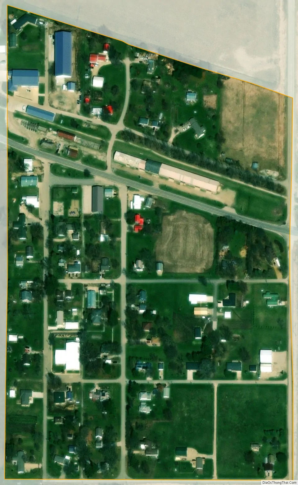
Morrison city Satellite Map
Geography
Morrison is located at 42°20′36″N 92°40′28″W / 42.34333°N 92.67444°W / 42.34333; -92.67444 (42.343390, -92.674434).
According to the United States Census Bureau, the city has a total area of 0.10 square miles (0.26 km), all land.
The Black Hawk Creek flows north of the city.
See also
Map of Iowa State and its subdivision:- Adair
- Adams
- Allamakee
- Appanoose
- Audubon
- Benton
- Black Hawk
- Boone
- Bremer
- Buchanan
- Buena Vista
- Butler
- Calhoun
- Carroll
- Cass
- Cedar
- Cerro Gordo
- Cherokee
- Chickasaw
- Clarke
- Clay
- Clayton
- Clinton
- Crawford
- Dallas
- Davis
- Decatur
- Delaware
- Des Moines
- Dickinson
- Dubuque
- Emmet
- Fayette
- Floyd
- Franklin
- Fremont
- Greene
- Grundy
- Guthrie
- Hamilton
- Hancock
- Hardin
- Harrison
- Henry
- Howard
- Humboldt
- Ida
- Iowa
- Jackson
- Jasper
- Jefferson
- Johnson
- Jones
- Keokuk
- Kossuth
- Lee
- Linn
- Louisa
- Lucas
- Lyon
- Madison
- Mahaska
- Marion
- Marshall
- Mills
- Mitchell
- Monona
- Monroe
- Montgomery
- Muscatine
- O'Brien
- Osceola
- Page
- Palo Alto
- Plymouth
- Pocahontas
- Polk
- Pottawattamie
- Poweshiek
- Ringgold
- Sac
- Scott
- Shelby
- Sioux
- Story
- Tama
- Taylor
- Union
- Van Buren
- Wapello
- Warren
- Washington
- Wayne
- Webster
- Winnebago
- Winneshiek
- Woodbury
- Worth
- Wright
- Alabama
- Alaska
- Arizona
- Arkansas
- California
- Colorado
- Connecticut
- Delaware
- District of Columbia
- Florida
- Georgia
- Hawaii
- Idaho
- Illinois
- Indiana
- Iowa
- Kansas
- Kentucky
- Louisiana
- Maine
- Maryland
- Massachusetts
- Michigan
- Minnesota
- Mississippi
- Missouri
- Montana
- Nebraska
- Nevada
- New Hampshire
- New Jersey
- New Mexico
- New York
- North Carolina
- North Dakota
- Ohio
- Oklahoma
- Oregon
- Pennsylvania
- Rhode Island
- South Carolina
- South Dakota
- Tennessee
- Texas
- Utah
- Vermont
- Virginia
- Washington
- West Virginia
- Wisconsin
- Wyoming