Wayland is a village in Jefferson Township, Henry County, Iowa, United States. The population was 964 at the time of the 2020 census.
| Name: | Wayland city |
|---|---|
| LSAD Code: | 25 |
| LSAD Description: | city (suffix) |
| State: | Iowa |
| County: | Henry County |
| Elevation: | 732 ft (223 m) |
| Total Area: | 1.06 sq mi (2.76 km²) |
| Land Area: | 1.06 sq mi (2.76 km²) |
| Water Area: | 0.00 sq mi (0.00 km²) |
| Total Population: | 964 |
| Population Density: | 906.02/sq mi (349.90/km²) |
| ZIP code: | 52654 |
| Area code: | 319 |
| FIPS code: | 1982965 |
| GNISfeature ID: | 0462760 |
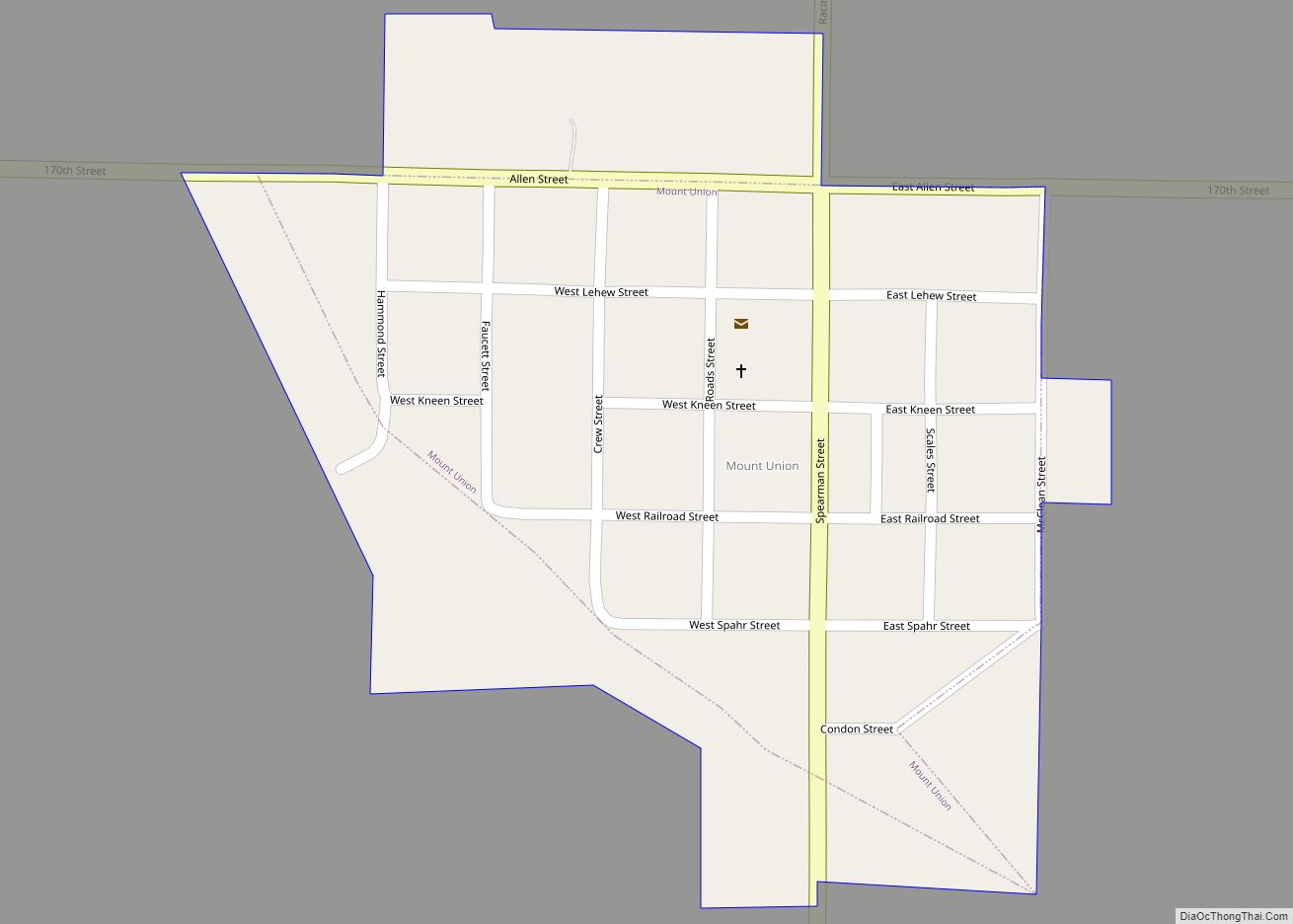
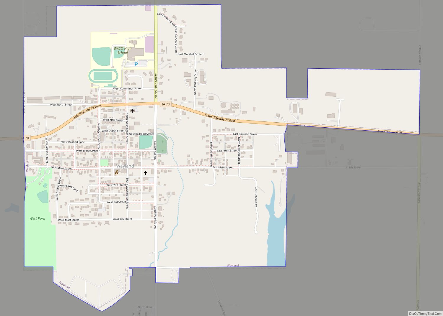
Online Interactive Map
Click on ![]() to view map in "full screen" mode.
to view map in "full screen" mode.
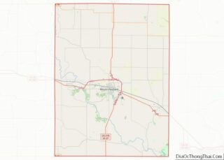
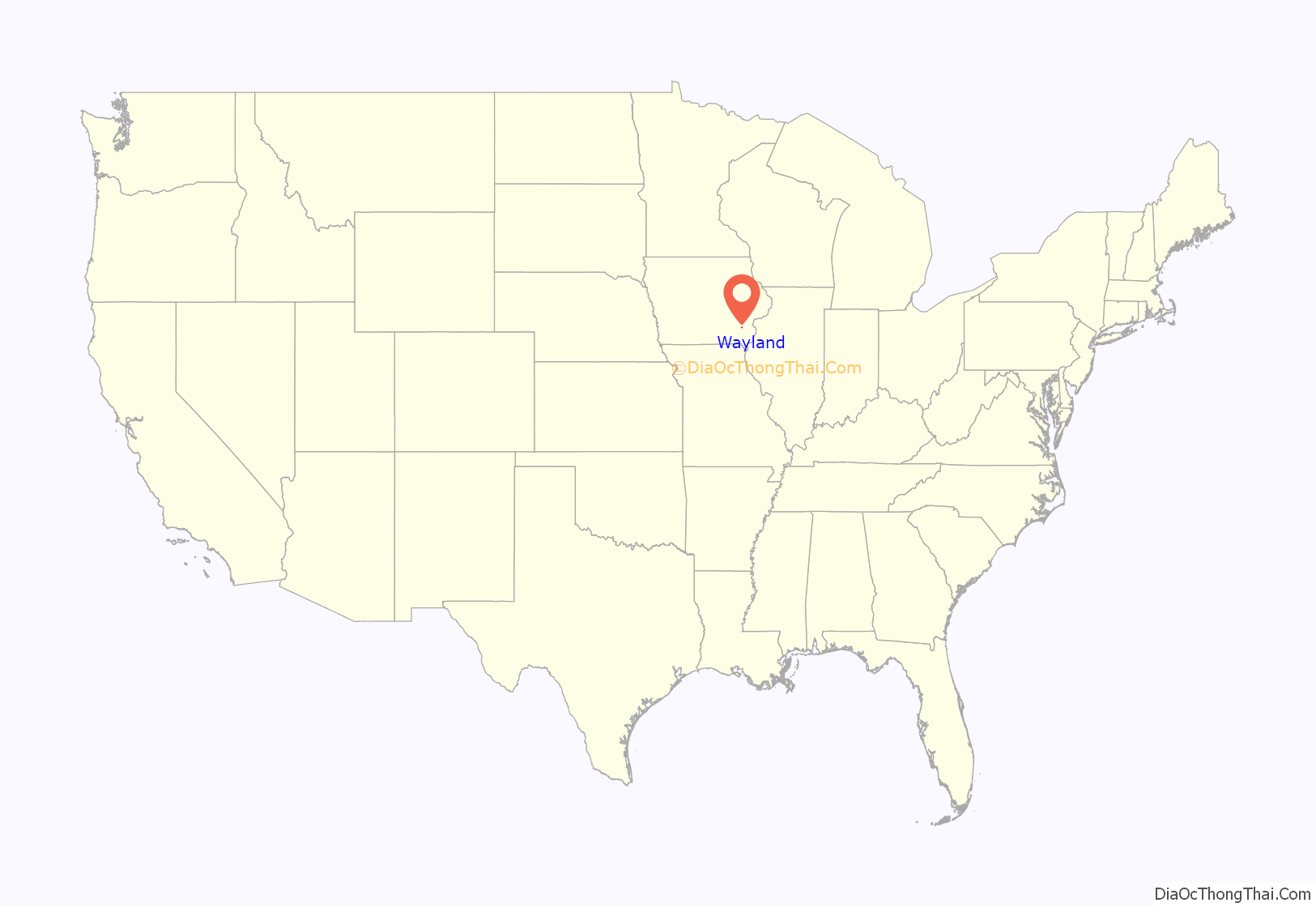
Wayland location map. Where is Wayland city?

History
Wayland was originally known as Crooked Creek. Crooked Creek became a voting precinct on October 5, 1840. The first burial is given to John Bullock, in 1838. He came as a surveyor to this region in 1837. The need to establish a post office followed. Rufus M. Pickell, one of the local leaders, was appointed on February 3, 1843, postmaster for the land east of the Skunk River and south of Crooked Creek. Pickell was also a blacksmith by trade. Establishing a church followed, so the little log cabin Methodist Church was built in 1844. From 1851 to 1880, the town was known as Marshall. Christian Roth Sr. erected a brewery on his homestead in 1856, which was completed at a cost of over $4,000. Until its closing by laws passed in 1884, it had done a prosperous business and had a capacity of 10 barrels a day. Confusion over the name Marshall, Henry County and Marshalltown, Iowa, especially with mail getting mixed, required a change in 1879, with the smaller town relinquishing its name and taking up a new one in 1880. In the 1879 Henry County History book the following names can be found in Jefferson Township: Burrows, Clifton, Cook, Davies, Everts, Farmer, Hull, Jessup, Johnson, Manning, Mathews, Moore, Noble, Ressel, Sayles, Shively, Turney, Walker, Wallbank, Wiggins, and Williams.
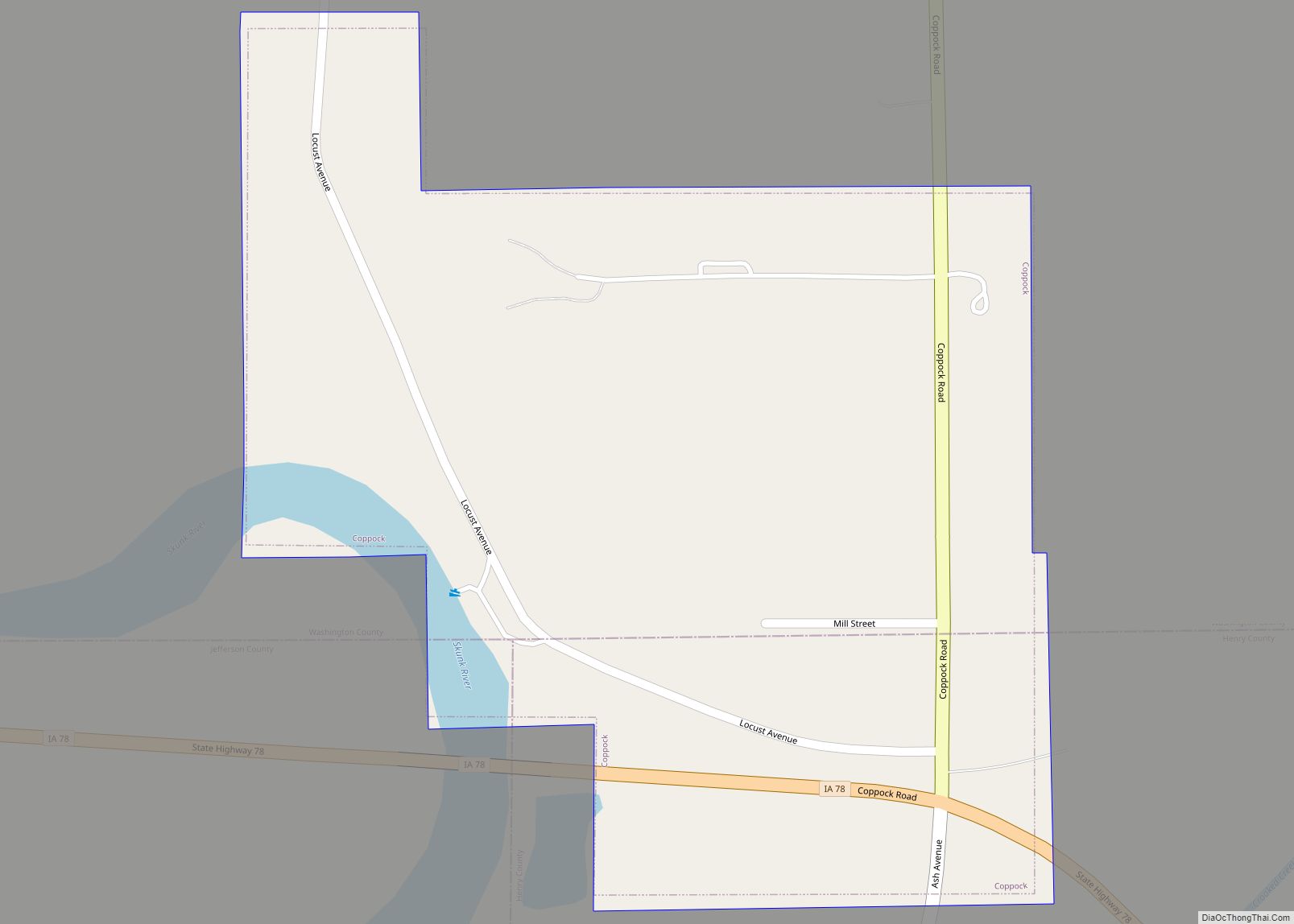
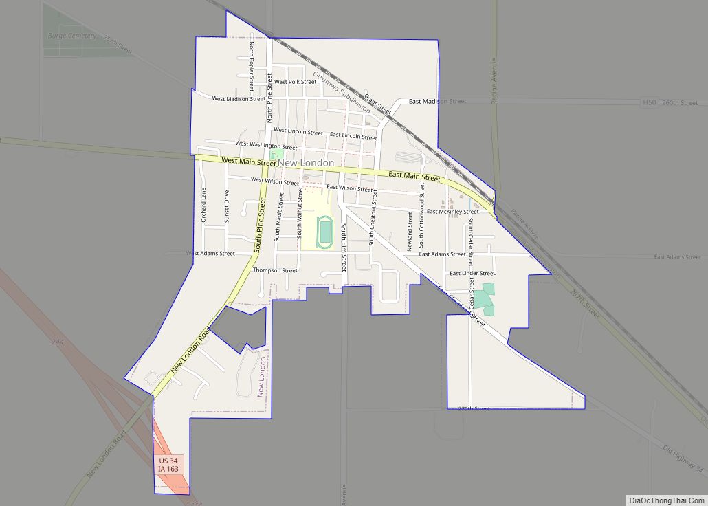
Wayland Road Map

Wayland city Satellite Map

Geography
Wayland is located at 41°8′51″N 91°39′35″W / 41.14750°N 91.65972°W / 41.14750; -91.65972 (41.147602, -91.659678).
According to the United States Census Bureau, the village has a total area of 1.01 square miles (2.62 km), all land.
See also
Map of Iowa State and its subdivision:- Adair
- Adams
- Allamakee
- Appanoose
- Audubon
- Benton
- Black Hawk
- Boone
- Bremer
- Buchanan
- Buena Vista
- Butler
- Calhoun
- Carroll
- Cass
- Cedar
- Cerro Gordo
- Cherokee
- Chickasaw
- Clarke
- Clay
- Clayton
- Clinton
- Crawford
- Dallas
- Davis
- Decatur
- Delaware
- Des Moines
- Dickinson
- Dubuque
- Emmet
- Fayette
- Floyd
- Franklin
- Fremont
- Greene
- Grundy
- Guthrie
- Hamilton
- Hancock
- Hardin
- Harrison
- Henry
- Howard
- Humboldt
- Ida
- Iowa
- Jackson
- Jasper
- Jefferson
- Johnson
- Jones
- Keokuk
- Kossuth
- Lee
- Linn
- Louisa
- Lucas
- Lyon
- Madison
- Mahaska
- Marion
- Marshall
- Mills
- Mitchell
- Monona
- Monroe
- Montgomery
- Muscatine
- O'Brien
- Osceola
- Page
- Palo Alto
- Plymouth
- Pocahontas
- Polk
- Pottawattamie
- Poweshiek
- Ringgold
- Sac
- Scott
- Shelby
- Sioux
- Story
- Tama
- Taylor
- Union
- Van Buren
- Wapello
- Warren
- Washington
- Wayne
- Webster
- Winnebago
- Winneshiek
- Woodbury
- Worth
- Wright
- Alabama
- Alaska
- Arizona
- Arkansas
- California
- Colorado
- Connecticut
- Delaware
- District of Columbia
- Florida
- Georgia
- Hawaii
- Idaho
- Illinois
- Indiana
- Iowa
- Kansas
- Kentucky
- Louisiana
- Maine
- Maryland
- Massachusetts
- Michigan
- Minnesota
- Mississippi
- Missouri
- Montana
- Nebraska
- Nevada
- New Hampshire
- New Jersey
- New Mexico
- New York
- North Carolina
- North Dakota
- Ohio
- Oklahoma
- Oregon
- Pennsylvania
- Rhode Island
- South Carolina
- South Dakota
- Tennessee
- Texas
- Utah
- Vermont
- Virginia
- Washington
- West Virginia
- Wisconsin
- Wyoming