Palo is a city in Linn County, Iowa, United States. The population was 1,407 at the time of the 2020 census. It is part of the Cedar Rapids Metropolitan Statistical Area.
Palo is located near Pleasant Creek State Recreation Park.
| Name: | Palo city |
|---|---|
| LSAD Code: | 25 |
| LSAD Description: | city (suffix) |
| State: | Iowa |
| County: | Linn County |
| Elevation: | 741 ft (226 m) |
| Total Area: | 1.20 sq mi (3.10 km²) |
| Land Area: | 1.20 sq mi (3.10 km²) |
| Water Area: | 0.00 sq mi (0.00 km²) |
| Total Population: | 1,407 |
| Population Density: | 1,175.44/sq mi (453.79/km²) |
| ZIP code: | 52324 |
| Area code: | 319 |
| FIPS code: | 1961230 |
| GNISfeature ID: | 0460004 |
| Website: | www.paloia.govoffice2.com |
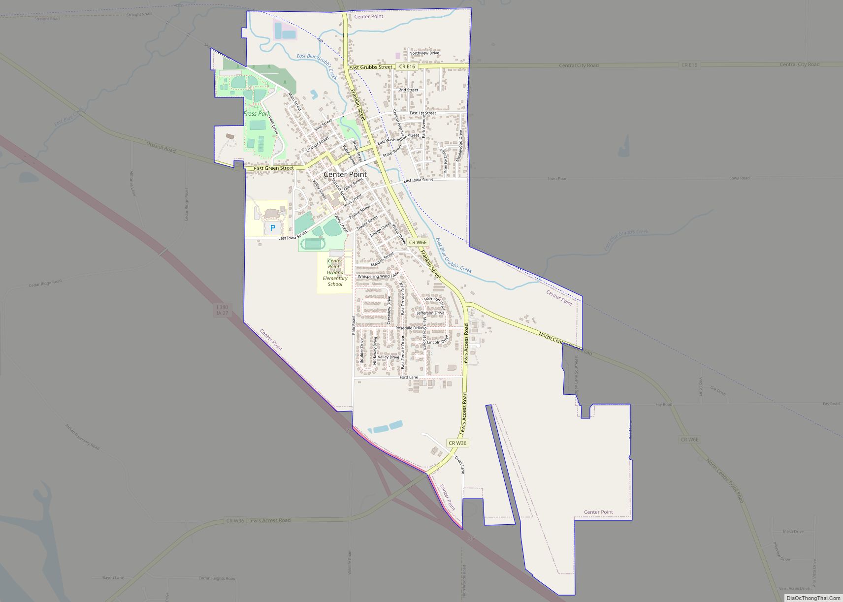
Online Interactive Map
Click on ![]() to view map in "full screen" mode.
to view map in "full screen" mode.
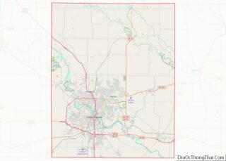
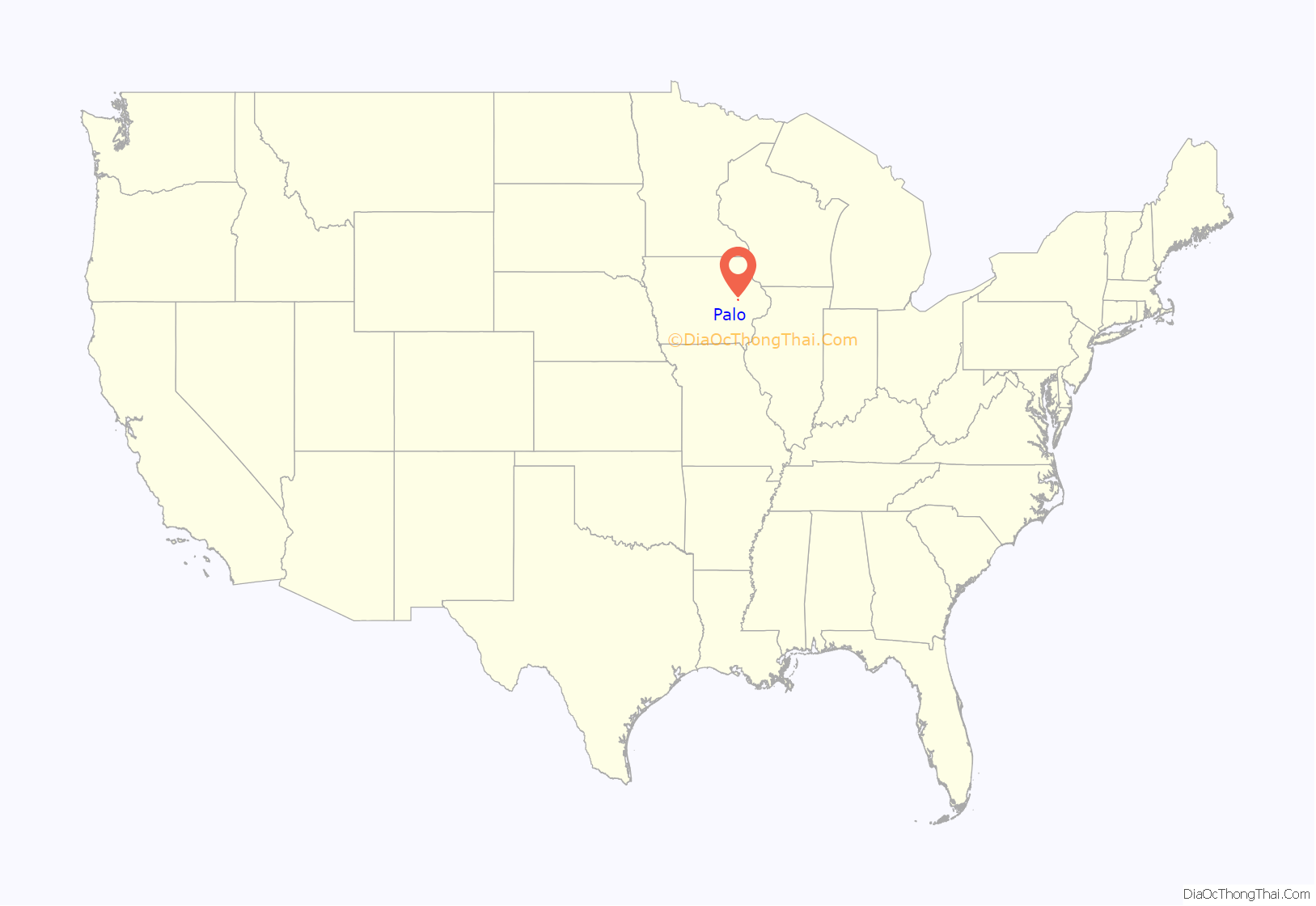
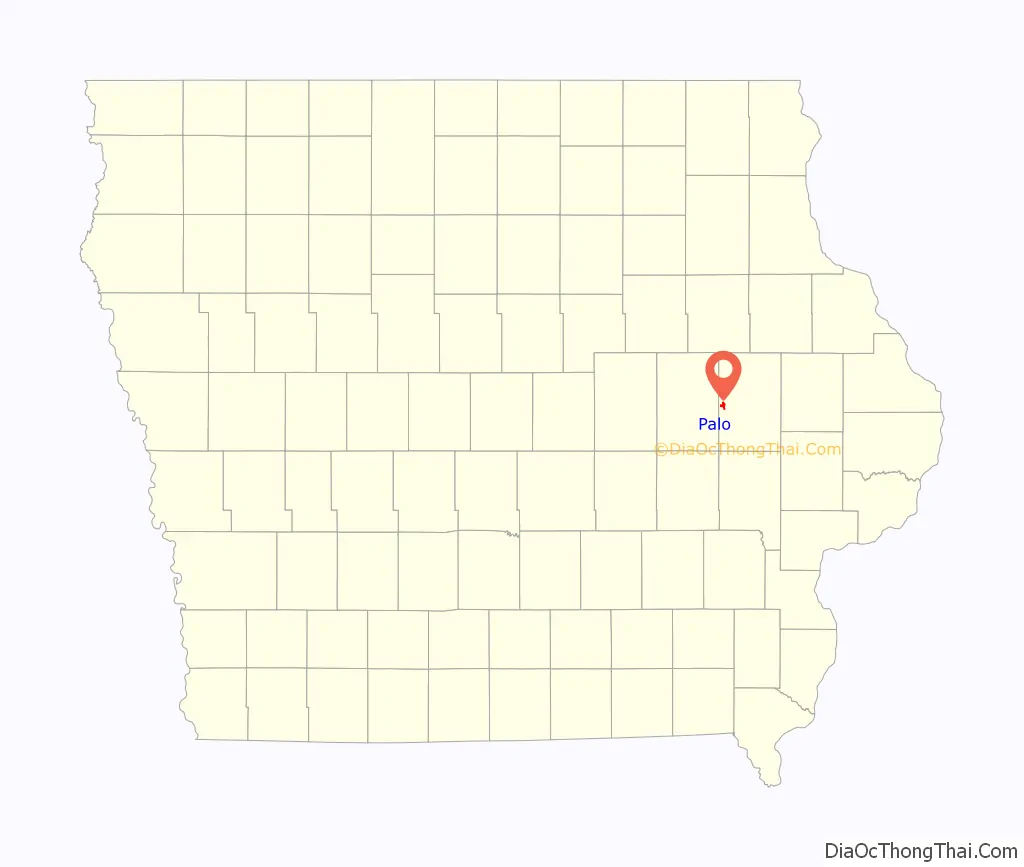
Palo location map. Where is Palo city?
History
In 1849 a regional post office was named by Marion resident Dr. Bardwell, shortly after the Battle of Palo Alto in the Mexican-American War. Dr. Bardwell, used the short name Palo. The town was surveyed in 1854 and the first building in Palo was built in the same year and the town took its name from the local post office.
Floods of 2008
Palo suffered severe damage during the 2008 flood. Approximately 980 residents, the entirety of the town, were ordered to abandon their homes and businesses. The mandatory evacuation was ordered by the Linn County Emergency Management department, due to flooding from the Cedar River.
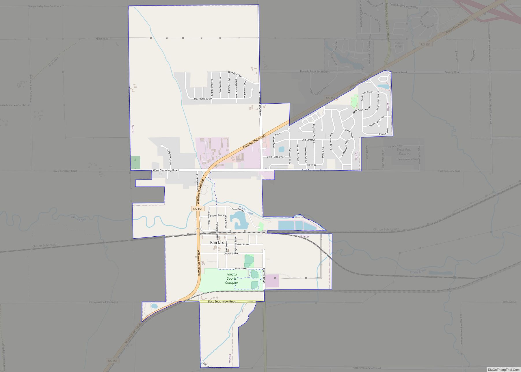
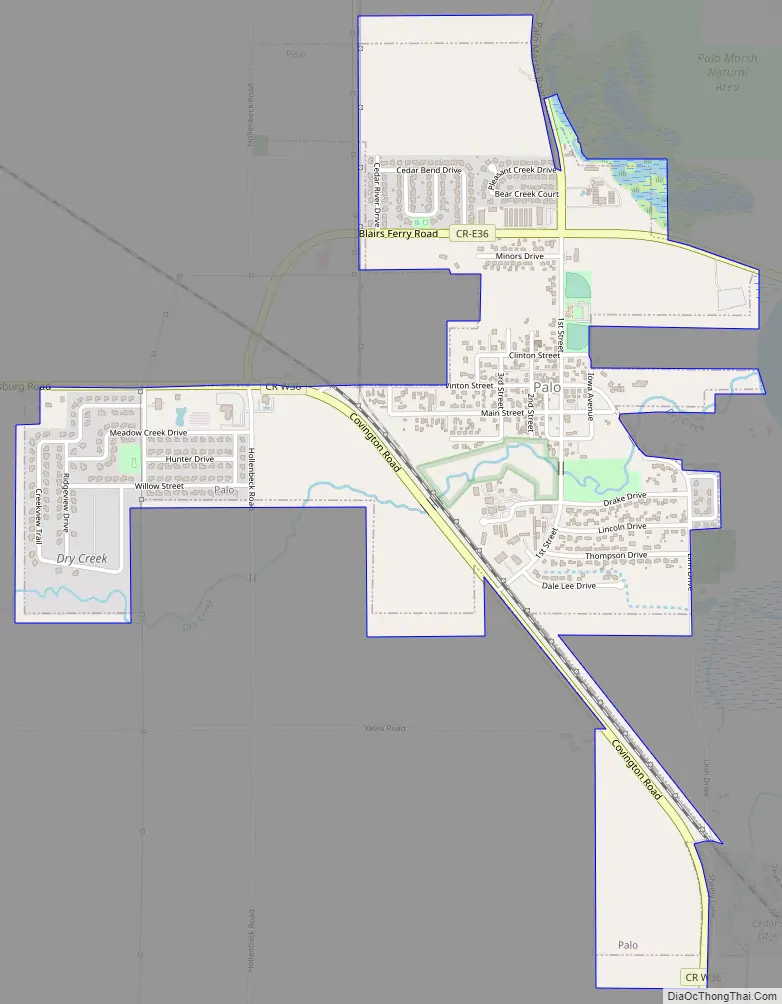
Palo Road Map
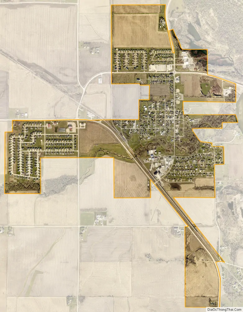
Palo city Satellite Map
Geography
Palo is located at 42°3′44″N 91°47′35″W / 42.06222°N 91.79306°W / 42.06222; -91.79306 (42.062201, -91.793126).
According to the United States Census Bureau, the city has a total area of 1.43 square miles (3.70 km), all land.
See also
Map of Iowa State and its subdivision:- Adair
- Adams
- Allamakee
- Appanoose
- Audubon
- Benton
- Black Hawk
- Boone
- Bremer
- Buchanan
- Buena Vista
- Butler
- Calhoun
- Carroll
- Cass
- Cedar
- Cerro Gordo
- Cherokee
- Chickasaw
- Clarke
- Clay
- Clayton
- Clinton
- Crawford
- Dallas
- Davis
- Decatur
- Delaware
- Des Moines
- Dickinson
- Dubuque
- Emmet
- Fayette
- Floyd
- Franklin
- Fremont
- Greene
- Grundy
- Guthrie
- Hamilton
- Hancock
- Hardin
- Harrison
- Henry
- Howard
- Humboldt
- Ida
- Iowa
- Jackson
- Jasper
- Jefferson
- Johnson
- Jones
- Keokuk
- Kossuth
- Lee
- Linn
- Louisa
- Lucas
- Lyon
- Madison
- Mahaska
- Marion
- Marshall
- Mills
- Mitchell
- Monona
- Monroe
- Montgomery
- Muscatine
- O'Brien
- Osceola
- Page
- Palo Alto
- Plymouth
- Pocahontas
- Polk
- Pottawattamie
- Poweshiek
- Ringgold
- Sac
- Scott
- Shelby
- Sioux
- Story
- Tama
- Taylor
- Union
- Van Buren
- Wapello
- Warren
- Washington
- Wayne
- Webster
- Winnebago
- Winneshiek
- Woodbury
- Worth
- Wright
- Alabama
- Alaska
- Arizona
- Arkansas
- California
- Colorado
- Connecticut
- Delaware
- District of Columbia
- Florida
- Georgia
- Hawaii
- Idaho
- Illinois
- Indiana
- Iowa
- Kansas
- Kentucky
- Louisiana
- Maine
- Maryland
- Massachusetts
- Michigan
- Minnesota
- Mississippi
- Missouri
- Montana
- Nebraska
- Nevada
- New Hampshire
- New Jersey
- New Mexico
- New York
- North Carolina
- North Dakota
- Ohio
- Oklahoma
- Oregon
- Pennsylvania
- Rhode Island
- South Carolina
- South Dakota
- Tennessee
- Texas
- Utah
- Vermont
- Virginia
- Washington
- West Virginia
- Wisconsin
- Wyoming