Panora is a city in Guthrie County, Iowa. The population was 1,091 at the time of the 2020 census. It is part of the Des Moines metropolitan area.
| Name: | Panora city |
|---|---|
| LSAD Code: | 25 |
| LSAD Description: | city (suffix) |
| State: | Iowa |
| County: | Guthrie County |
| Elevation: | 1,076 ft (328 m) |
| Total Area: | 1.81 sq mi (4.69 km²) |
| Land Area: | 1.81 sq mi (4.69 km²) |
| Water Area: | 0.00 sq mi (0.00 km²) |
| Total Population: | 1,091 |
| Population Density: | 602.43/sq mi (232.59/km²) |
| ZIP code: | 50216 |
| Area code: | 641 |
| FIPS code: | 1961320 |
| GNISfeature ID: | 0460010 |
| Website: | www.cityofpanora.com |
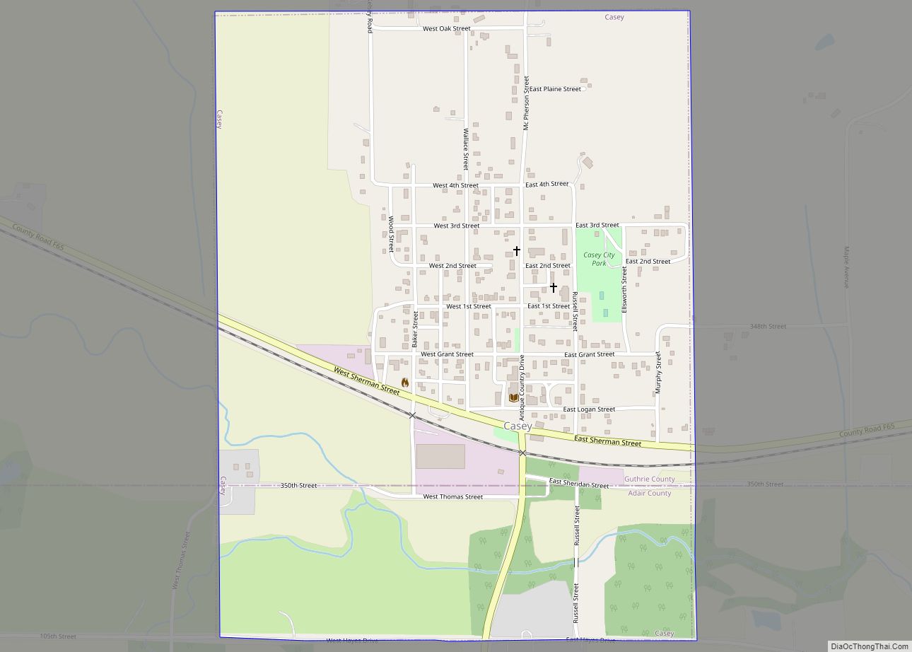
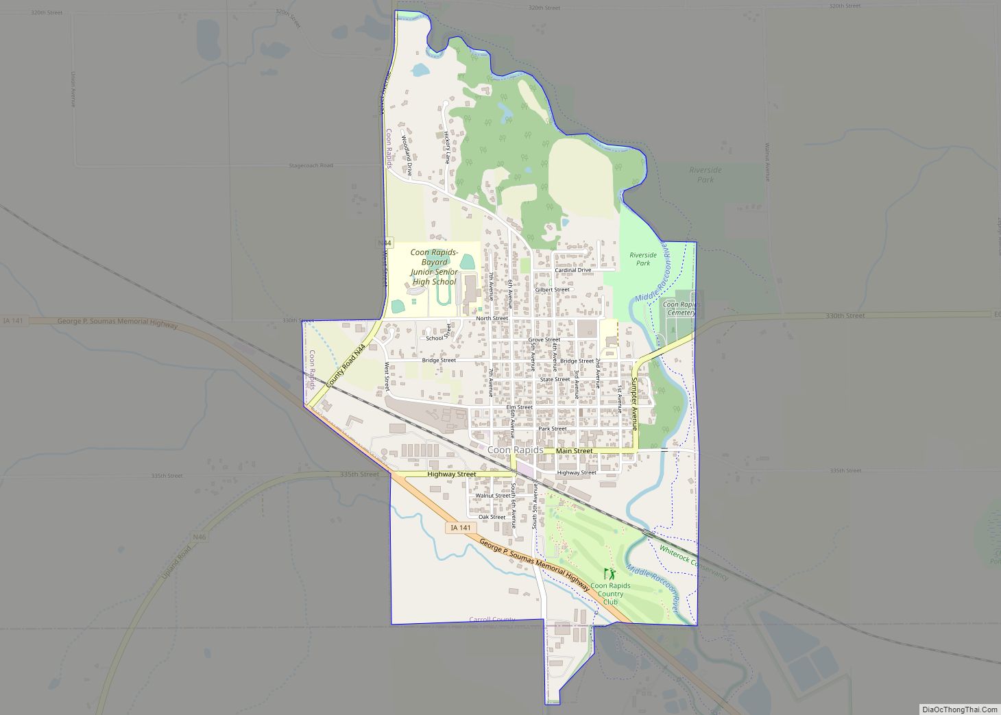
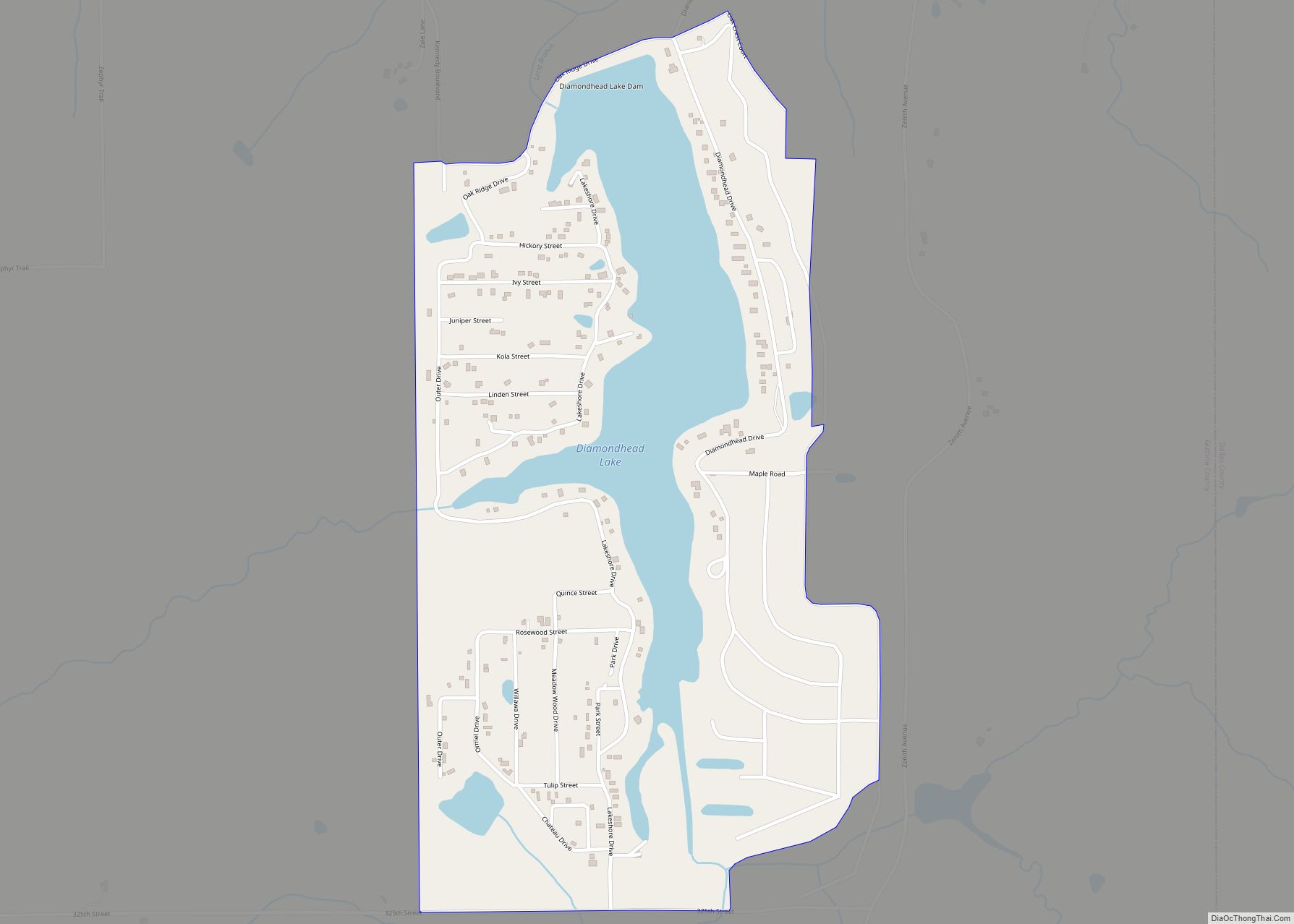
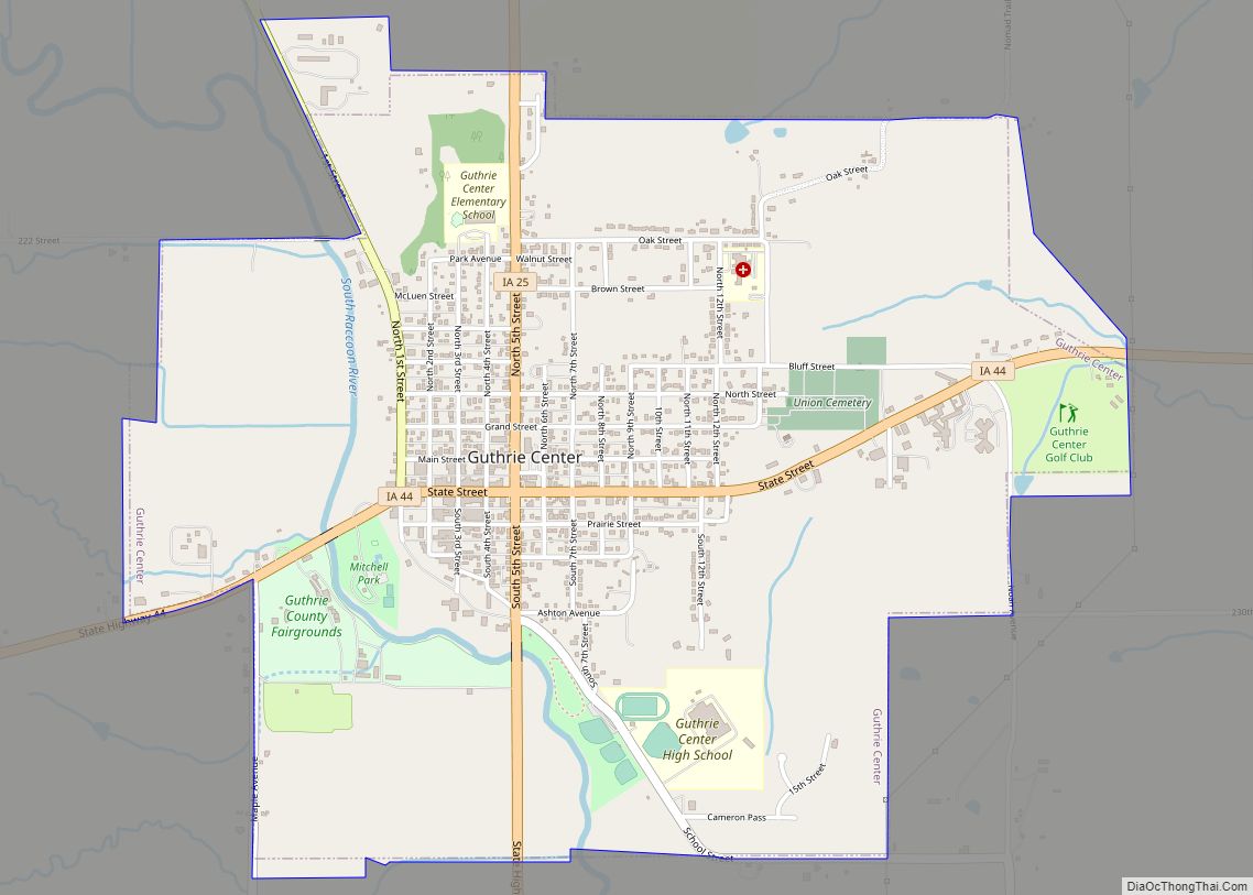
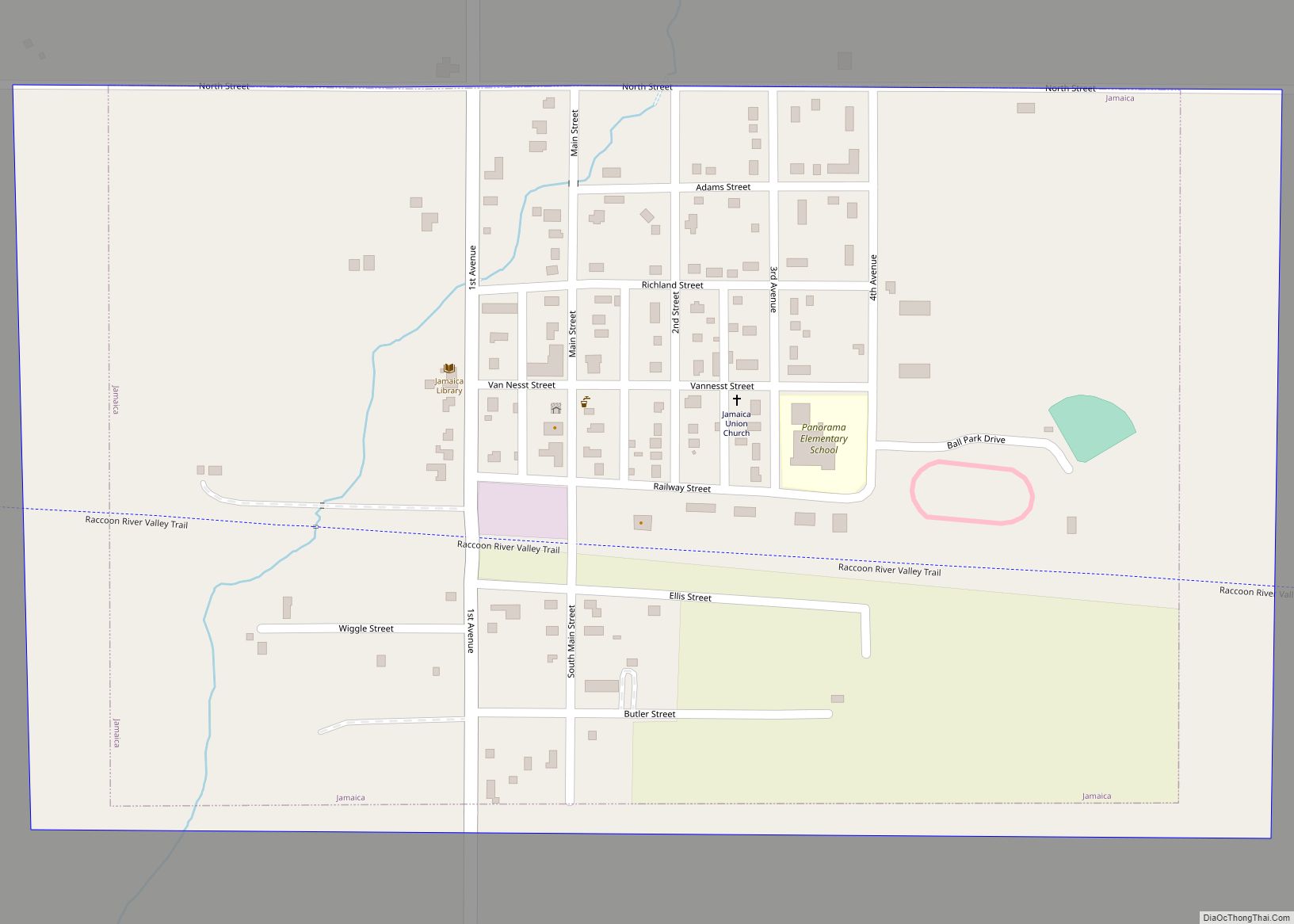
Online Interactive Map
Click on ![]() to view map in "full screen" mode.
to view map in "full screen" mode.
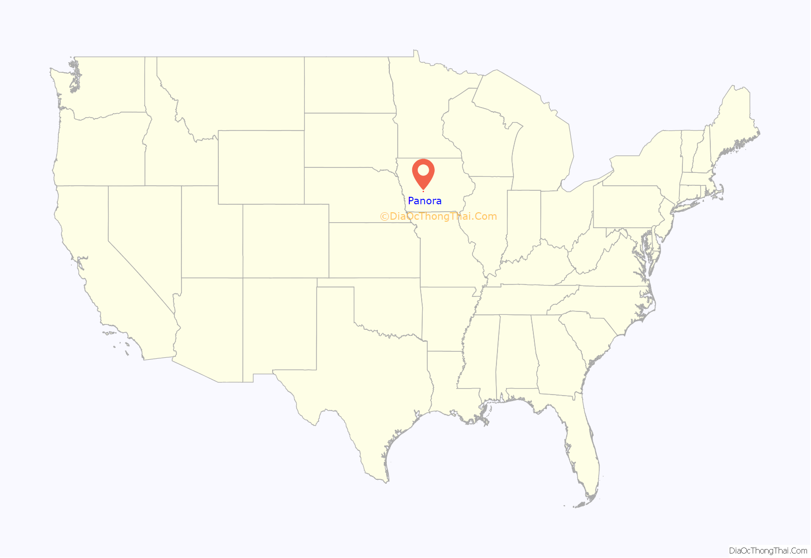
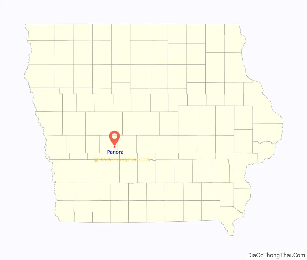
Panora location map. Where is Panora city?
History
Panora was platted in 1851. Panora is the oldest community in Guthrie County and was its county seat until 1876 when Guthrie Center became the county seat.
2014 Mother’s Day tornado
Just before 10 p.m. on May 11, 2014, an EF2 tornado caused tens of millions of dollars in damages to areas outside of Panora and especially nearby Lake Panorama including several farms north of Panora and northeast of Yale. The tornado originated south of Guthrie Center near the intersection of Highway 25 and the Monteith Road. It travelled in a northeasterly direction for 16.7 miles through Lake Panorama on a path through mostly unplanted fields passing both to the south and to the east of Yale and to the south of Jamaica ending southwest of Dawson, sparing those three towns. The path of destruction included areas and homes near Shady Beach; near Boulder Beach including eight condos destroyed and severely damaging many nearby homes and condos; around the west side of the entrance to Burchfield Cove on Hickory Point including several homes and buildings; holes 1–4 and 9–18 at the LPA National Golf Course; more than two dozen electrical powerline transmission poles located along the east side of Highway 4 between 170th and 180th and east of the intersection of Highway 4 and 170th; and several farms to the south and to the east of Yale. The debris pattern was extensive from Boulder cove to southwest of Dawson.
The warning sirens in Panora failed to sound due to the nearly concurrent loss of electrical power and the sudden occurrence of the storm: only a couple of minutes between the release of the tornado warning during the loss of electrical power before the impact of the tornado did not provide enough time for the town to bring online electrical power from Panora’s backup desiel-powered generator. Luckily, no loss of life occurred.
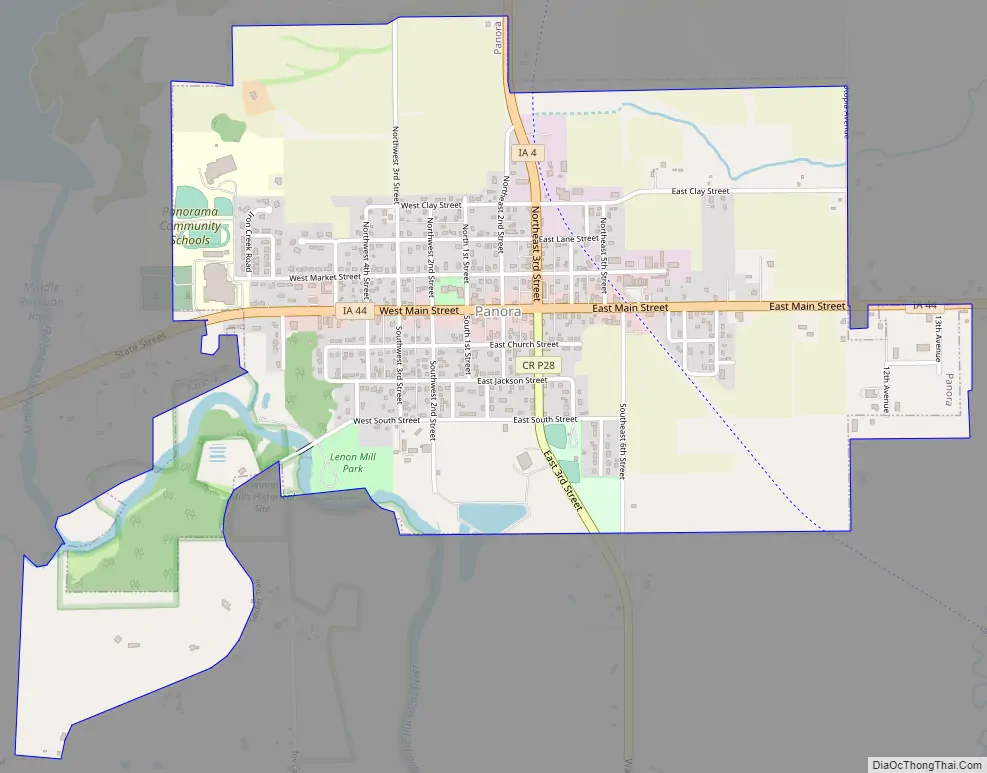
Panora Road Map
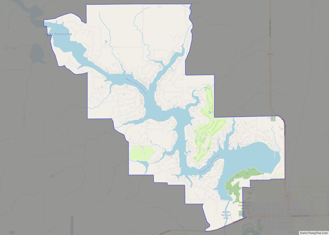
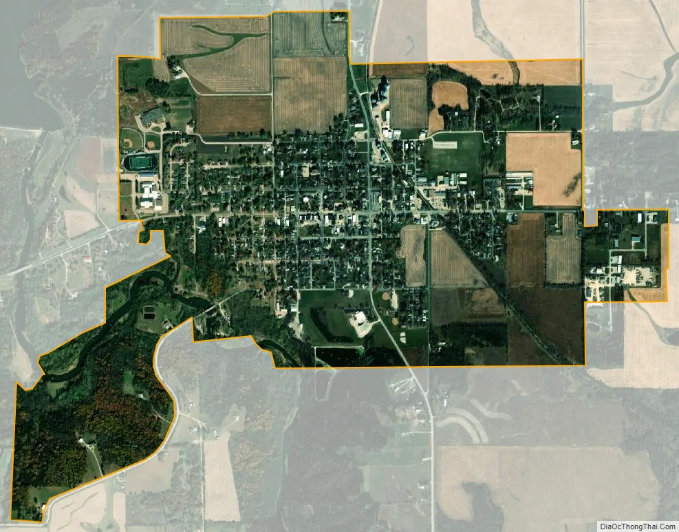
Panora city Satellite Map
Geography
Panora is located at 41°41′32″N 94°21′49″W / 41.69222°N 94.36361°W / 41.69222; -94.36361 (41.692158, -94.363722), along the Middle Raccoon River.
According to the United States Census Bureau, the city has a total area of 1.80 square miles (4.66 km), all land.
See also
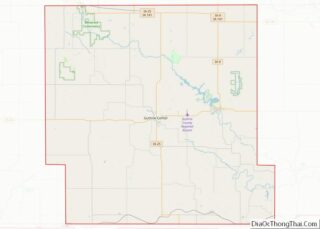
Map of Iowa State and its subdivision:- Adair
- Adams
- Allamakee
- Appanoose
- Audubon
- Benton
- Black Hawk
- Boone
- Bremer
- Buchanan
- Buena Vista
- Butler
- Calhoun
- Carroll
- Cass
- Cedar
- Cerro Gordo
- Cherokee
- Chickasaw
- Clarke
- Clay
- Clayton
- Clinton
- Crawford
- Dallas
- Davis
- Decatur
- Delaware
- Des Moines
- Dickinson
- Dubuque
- Emmet
- Fayette
- Floyd
- Franklin
- Fremont
- Greene
- Grundy
- Guthrie
- Hamilton
- Hancock
- Hardin
- Harrison
- Henry
- Howard
- Humboldt
- Ida
- Iowa
- Jackson
- Jasper
- Jefferson
- Johnson
- Jones
- Keokuk
- Kossuth
- Lee
- Linn
- Louisa
- Lucas
- Lyon
- Madison
- Mahaska
- Marion
- Marshall
- Mills
- Mitchell
- Monona
- Monroe
- Montgomery
- Muscatine
- O'Brien
- Osceola
- Page
- Palo Alto
- Plymouth
- Pocahontas
- Polk
- Pottawattamie
- Poweshiek
- Ringgold
- Sac
- Scott
- Shelby
- Sioux
- Story
- Tama
- Taylor
- Union
- Van Buren
- Wapello
- Warren
- Washington
- Wayne
- Webster
- Winnebago
- Winneshiek
- Woodbury
- Worth
- Wright
- Alabama
- Alaska
- Arizona
- Arkansas
- California
- Colorado
- Connecticut
- Delaware
- District of Columbia
- Florida
- Georgia
- Hawaii
- Idaho
- Illinois
- Indiana
- Iowa
- Kansas
- Kentucky
- Louisiana
- Maine
- Maryland
- Massachusetts
- Michigan
- Minnesota
- Mississippi
- Missouri
- Montana
- Nebraska
- Nevada
- New Hampshire
- New Jersey
- New Mexico
- New York
- North Carolina
- North Dakota
- Ohio
- Oklahoma
- Oregon
- Pennsylvania
- Rhode Island
- South Carolina
- South Dakota
- Tennessee
- Texas
- Utah
- Vermont
- Virginia
- Washington
- West Virginia
- Wisconsin
- Wyoming