Ryan is a city in Delaware County, Iowa, United States. The population was 350 at the time of the 2020 census.
| Name: | Ryan city |
|---|---|
| LSAD Code: | 25 |
| LSAD Description: | city (suffix) |
| State: | Iowa |
| County: | Delaware County |
| Elevation: | 1,024 ft (312 m) |
| Total Area: | 0.44 sq mi (1.13 km²) |
| Land Area: | 0.44 sq mi (1.13 km²) |
| Water Area: | 0.00 sq mi (0.00 km²) |
| Total Population: | 350 |
| Population Density: | 799.09/sq mi (308.80/km²) |
| ZIP code: | 52330 |
| Area code: | 563 |
| FIPS code: | 1969465 |
| GNISfeature ID: | 0460870 |
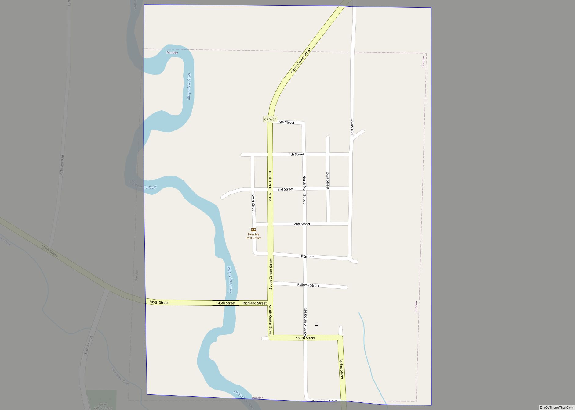
Online Interactive Map
Click on ![]() to view map in "full screen" mode.
to view map in "full screen" mode.
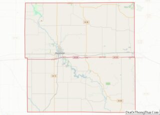
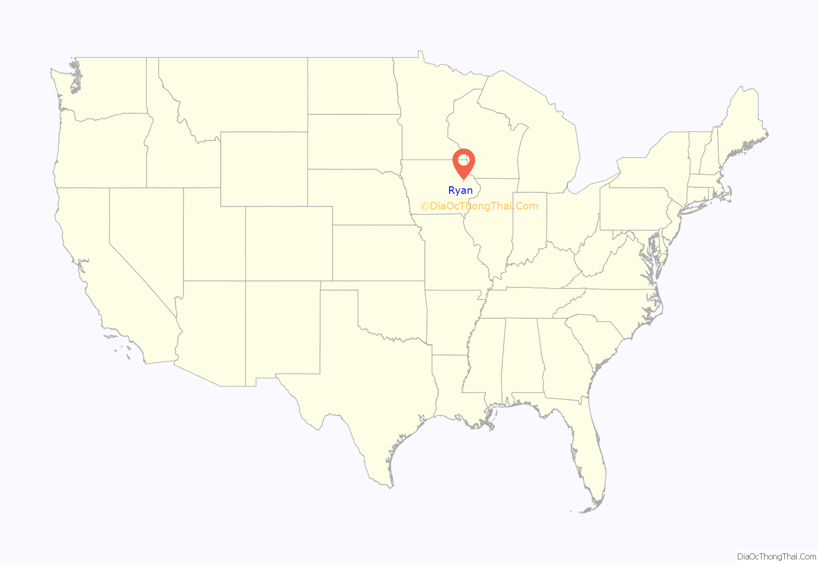
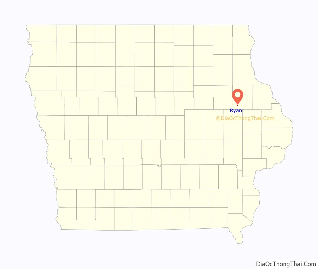
Ryan location map. Where is Ryan city?
History
Ryan was platted by Arthur I. Flint, J. A. Thomas, and Andrew E. Anderson on August 28, 1888. The city was incorporated in 1901.
On August 12, 1974, an F4 tornado swept through Ryan, destroying much of the southern part of the community, and injuring 12. The tornado severely damaged homes as well as Great Plains Lumber Company, St. Patrick’s Catholic Church, and the West Delaware grade school. It was estimated that the tornado caused $2.5 million in damage.
Ryan Road Map
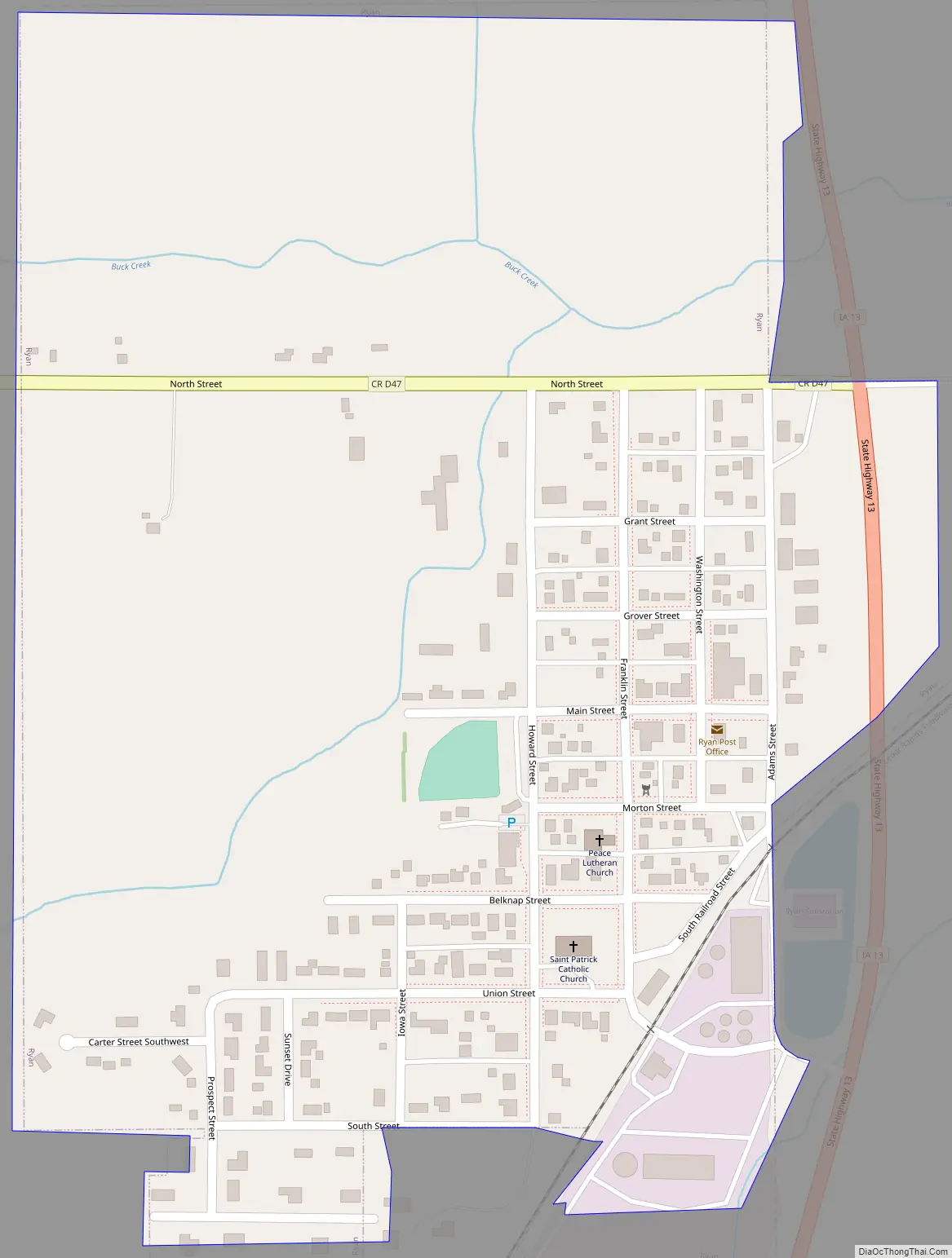
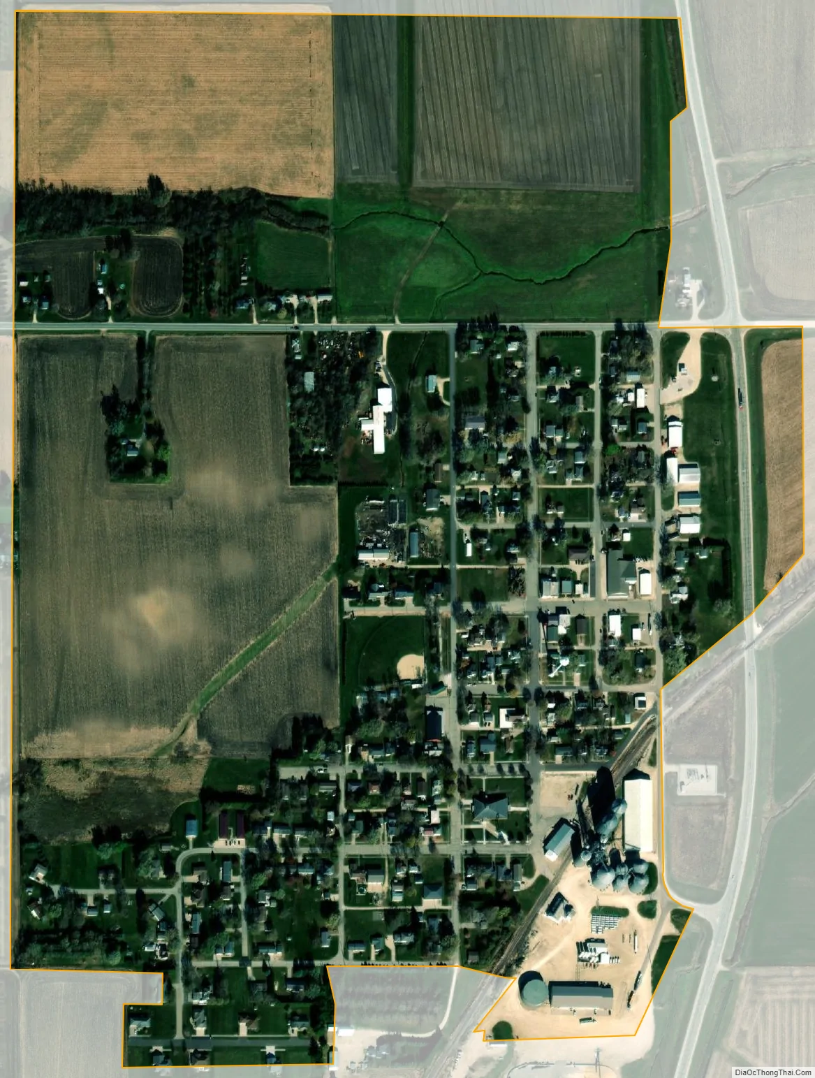
Ryan city Satellite Map
Geography
Ryan is located at 42°21′2″N 91°28′59″W / 42.35056°N 91.48306°W / 42.35056; -91.48306 (42.350648, -91.482986).
According to the United States Census Bureau, the city has a total area of 0.43 square miles (1.11 km), all land.
See also
Map of Iowa State and its subdivision:- Adair
- Adams
- Allamakee
- Appanoose
- Audubon
- Benton
- Black Hawk
- Boone
- Bremer
- Buchanan
- Buena Vista
- Butler
- Calhoun
- Carroll
- Cass
- Cedar
- Cerro Gordo
- Cherokee
- Chickasaw
- Clarke
- Clay
- Clayton
- Clinton
- Crawford
- Dallas
- Davis
- Decatur
- Delaware
- Des Moines
- Dickinson
- Dubuque
- Emmet
- Fayette
- Floyd
- Franklin
- Fremont
- Greene
- Grundy
- Guthrie
- Hamilton
- Hancock
- Hardin
- Harrison
- Henry
- Howard
- Humboldt
- Ida
- Iowa
- Jackson
- Jasper
- Jefferson
- Johnson
- Jones
- Keokuk
- Kossuth
- Lee
- Linn
- Louisa
- Lucas
- Lyon
- Madison
- Mahaska
- Marion
- Marshall
- Mills
- Mitchell
- Monona
- Monroe
- Montgomery
- Muscatine
- O'Brien
- Osceola
- Page
- Palo Alto
- Plymouth
- Pocahontas
- Polk
- Pottawattamie
- Poweshiek
- Ringgold
- Sac
- Scott
- Shelby
- Sioux
- Story
- Tama
- Taylor
- Union
- Van Buren
- Wapello
- Warren
- Washington
- Wayne
- Webster
- Winnebago
- Winneshiek
- Woodbury
- Worth
- Wright
- Alabama
- Alaska
- Arizona
- Arkansas
- California
- Colorado
- Connecticut
- Delaware
- District of Columbia
- Florida
- Georgia
- Hawaii
- Idaho
- Illinois
- Indiana
- Iowa
- Kansas
- Kentucky
- Louisiana
- Maine
- Maryland
- Massachusetts
- Michigan
- Minnesota
- Mississippi
- Missouri
- Montana
- Nebraska
- Nevada
- New Hampshire
- New Jersey
- New Mexico
- New York
- North Carolina
- North Dakota
- Ohio
- Oklahoma
- Oregon
- Pennsylvania
- Rhode Island
- South Carolina
- South Dakota
- Tennessee
- Texas
- Utah
- Vermont
- Virginia
- Washington
- West Virginia
- Wisconsin
- Wyoming