Salem is a city in Henry County, Iowa, United States. The population was 394 at the time of the 2020 census.
| Name: | Salem city |
|---|---|
| LSAD Code: | 25 |
| LSAD Description: | city (suffix) |
| State: | Iowa |
| County: | Henry County |
| Elevation: | 715 ft (218 m) |
| Total Area: | 0.63 sq mi (1.63 km²) |
| Land Area: | 0.63 sq mi (1.62 km²) |
| Water Area: | 0.00 sq mi (0.01 km²) |
| Total Population: | 394 |
| Population Density: | 629.39/sq mi (243.09/km²) |
| ZIP code: | 52649 |
| Area code: | 319 |
| FIPS code: | 1970230 |
| GNISfeature ID: | 0461353 |
Online Interactive Map
Click on ![]() to view map in "full screen" mode.
to view map in "full screen" mode.
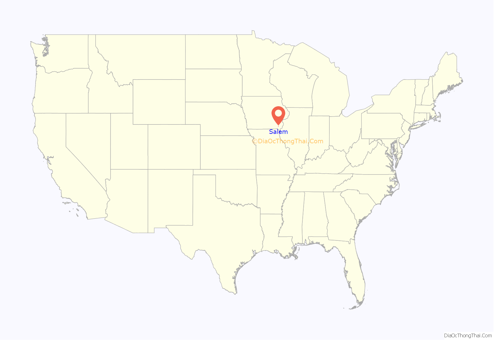
Salem location map. Where is Salem city?
History
Salem was settled originally by Quakers with the intent that it be a community of Friends. In 1835 Aaron Street, while wending his way westward, came upon an uninhabited spot and declared “Now have mine eyes beheld a country teeming with every good thing…Hither will I come with my flocks and my herds, with my children and my children’s children, and our city shall be called Salem, for thus was the city of our fathers, even near unto the seacoast.” Independently another Quaker, Isaac Pigeon, who may have visited the spot before Street, brought his family to the area. They became the first citizens of Salem, and with Peter Boyer, began to recruit other Quakers to migrate westward to join them. As early as 1837, Friends meetings were held in private homes, and after the village was laid out in 1839 by Aaron Street Jr., and Peter Boyer, a meeting house was built. From the early years members of other Christian denominations settled in Salem, so it was never an exclusively Quaker community.
Being only twenty miles from the Missouri border, Salem became an important depot on the Underground Railroad. A prominent member of the abolitionists was Henderson Lewelling. His house on West Main St. is listed on the National Register of Historic Places as an Underground Railroad station. The Friends, however, had a dispute over the issue of abolition. Agreed in their opposition to slavery, they disagreed on actively helping slaves escape. In 1846, 50 members of the community, including Lewelling, were disfellowshiped. In 1847, the Lewelling family traveled by covered wagon along the Oregon Trail along with a special covered wagon that had been designed to transport more than 700 young fruit and nut trees, apples, pears, peaches, cherries, quince, walnut, and hickory. The surviving trees became the parent stock of all of the early orchards in the Pacific Northwest.
The Society of Friends also established a college in Salem. Whittier College, unrelated to the college of the same name in California, existed from 1868 to 1910.
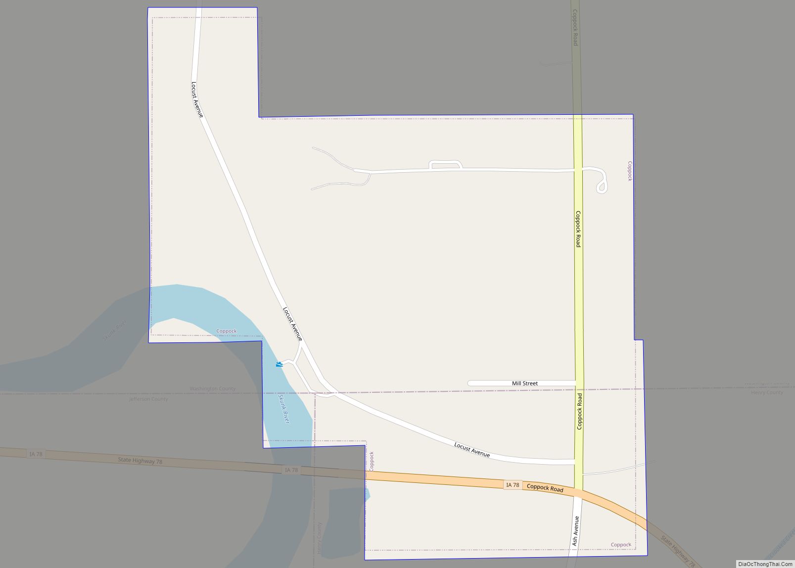
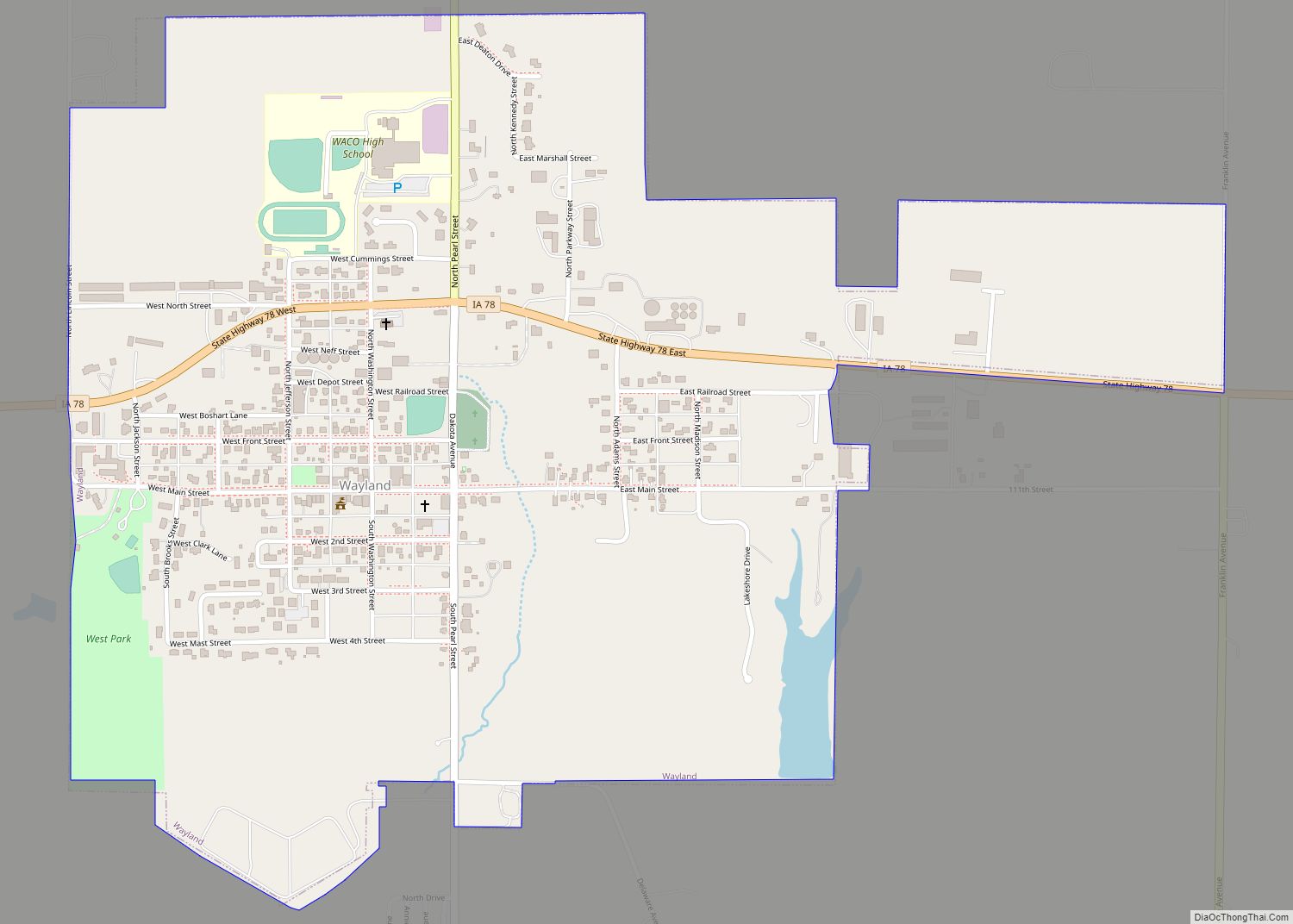
Salem Road Map
Salem city Satellite Map
Geography
Salem is located at 40°51′11″N 91°37′15″W / 40.85306°N 91.62083°W / 40.85306; -91.62083 (40.853073, -91.620845).
According to the United States Census Bureau, the city has a total area of 0.61 square miles (1.58 km), all land.
See also
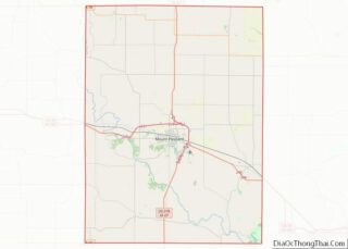
Map of Iowa State and its subdivision:- Adair
- Adams
- Allamakee
- Appanoose
- Audubon
- Benton
- Black Hawk
- Boone
- Bremer
- Buchanan
- Buena Vista
- Butler
- Calhoun
- Carroll
- Cass
- Cedar
- Cerro Gordo
- Cherokee
- Chickasaw
- Clarke
- Clay
- Clayton
- Clinton
- Crawford
- Dallas
- Davis
- Decatur
- Delaware
- Des Moines
- Dickinson
- Dubuque
- Emmet
- Fayette
- Floyd
- Franklin
- Fremont
- Greene
- Grundy
- Guthrie
- Hamilton
- Hancock
- Hardin
- Harrison
- Henry
- Howard
- Humboldt
- Ida
- Iowa
- Jackson
- Jasper
- Jefferson
- Johnson
- Jones
- Keokuk
- Kossuth
- Lee
- Linn
- Louisa
- Lucas
- Lyon
- Madison
- Mahaska
- Marion
- Marshall
- Mills
- Mitchell
- Monona
- Monroe
- Montgomery
- Muscatine
- O'Brien
- Osceola
- Page
- Palo Alto
- Plymouth
- Pocahontas
- Polk
- Pottawattamie
- Poweshiek
- Ringgold
- Sac
- Scott
- Shelby
- Sioux
- Story
- Tama
- Taylor
- Union
- Van Buren
- Wapello
- Warren
- Washington
- Wayne
- Webster
- Winnebago
- Winneshiek
- Woodbury
- Worth
- Wright
- Alabama
- Alaska
- Arizona
- Arkansas
- California
- Colorado
- Connecticut
- Delaware
- District of Columbia
- Florida
- Georgia
- Hawaii
- Idaho
- Illinois
- Indiana
- Iowa
- Kansas
- Kentucky
- Louisiana
- Maine
- Maryland
- Massachusetts
- Michigan
- Minnesota
- Mississippi
- Missouri
- Montana
- Nebraska
- Nevada
- New Hampshire
- New Jersey
- New Mexico
- New York
- North Carolina
- North Dakota
- Ohio
- Oklahoma
- Oregon
- Pennsylvania
- Rhode Island
- South Carolina
- South Dakota
- Tennessee
- Texas
- Utah
- Vermont
- Virginia
- Washington
- West Virginia
- Wisconsin
- Wyoming
