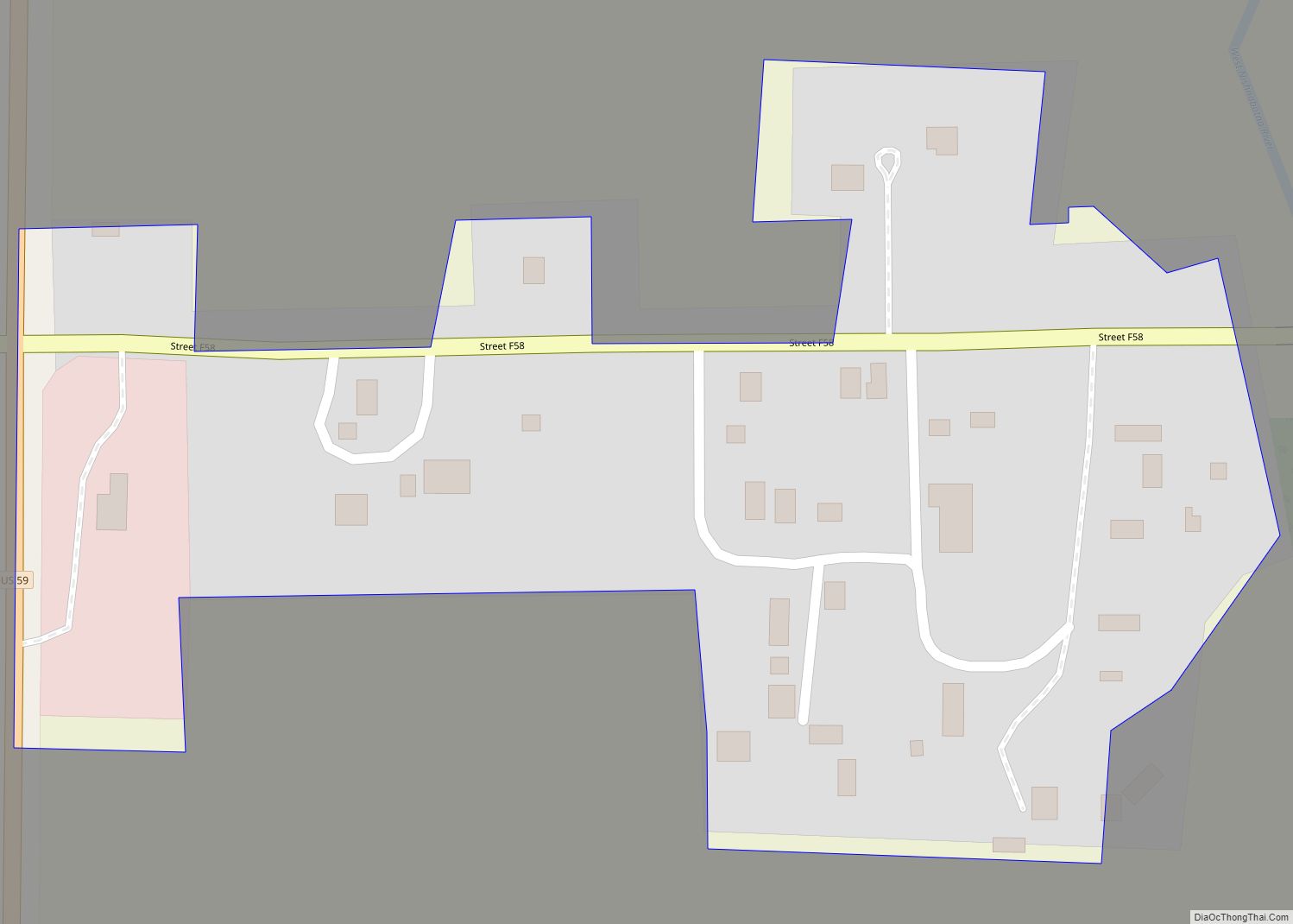
Shelby is a city in Pottawattamie and Shelby counties in the U.S. state of Iowa. The population was 727 at the time of the 2020 census.
| Name: | Shelby city |
|---|---|
| LSAD Code: | 25 |
| LSAD Description: | city (suffix) |
| State: | Iowa |
| County: | Pottawattamie County, Shelby County |
| Elevation: | 1,312 ft (400 m) |
| Total Area: | 1.87 sq mi (4.85 km²) |
| Land Area: | 1.87 sq mi (4.85 km²) |
| Water Area: | 0.00 sq mi (0.00 km²) |
| Total Population: | 727 |
| Population Density: | 387.94/sq mi (149.78/km²) |
| ZIP code: | 51570 |
| Area code: | 712 |
| FIPS code: | 1972300 |
| GNISfeature ID: | 0461554 |
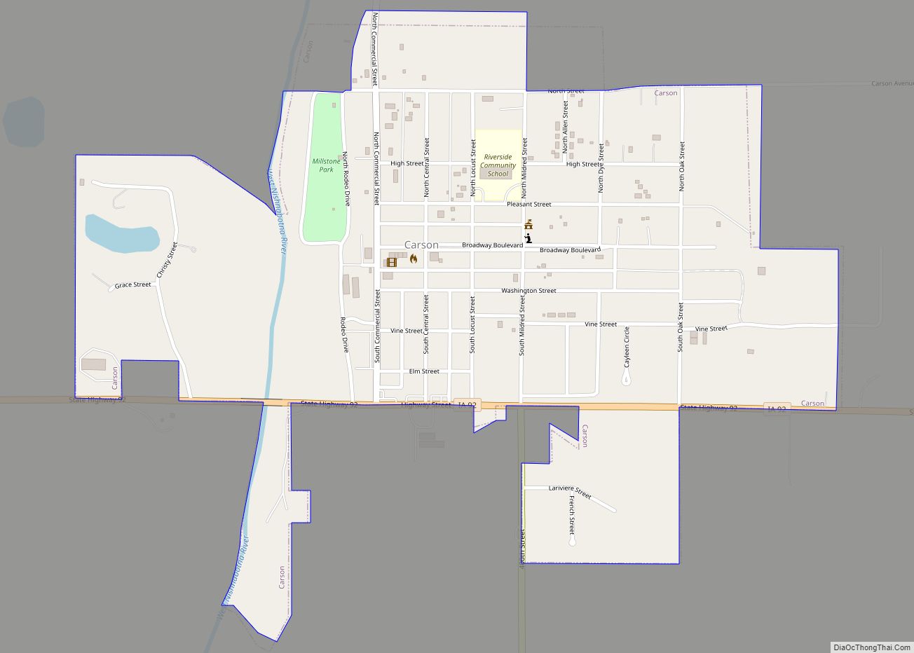
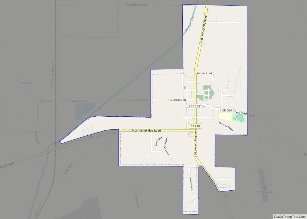
Online Interactive Map
Click on ![]() to view map in "full screen" mode.
to view map in "full screen" mode.
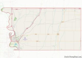
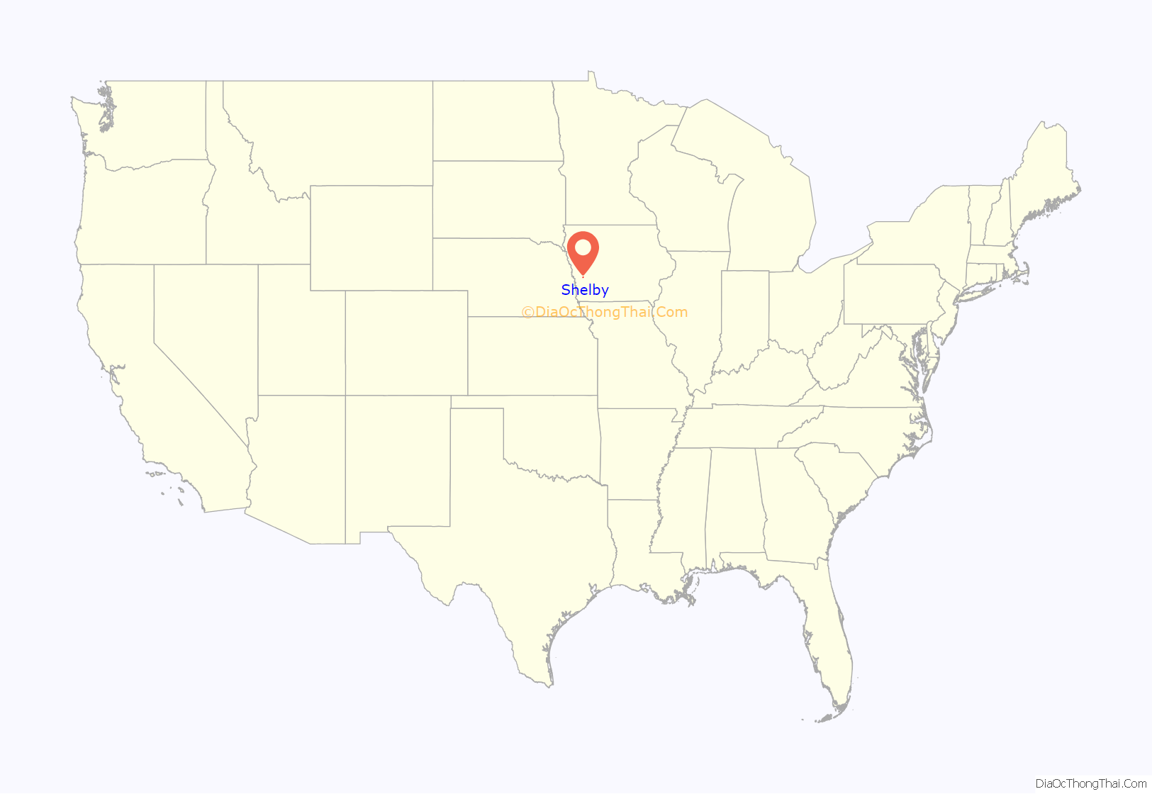
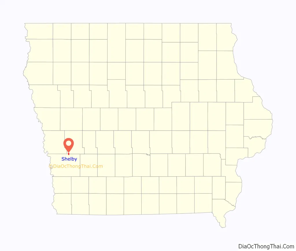
Shelby location map. Where is Shelby city?
History
Shelby got its start in the late 1860s, following construction of the railroad through the territory.
Shelby was platted in 1870 by Benjamin F. Allen and Thusie Allen, and was incorporated in 1877.
The Chicago, Rock Island and Pacific Railroad Stone Arch Viaduct, north-east of Shelby, is listed on the National Register of Historic Places.
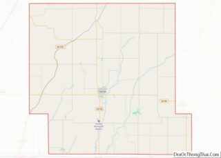
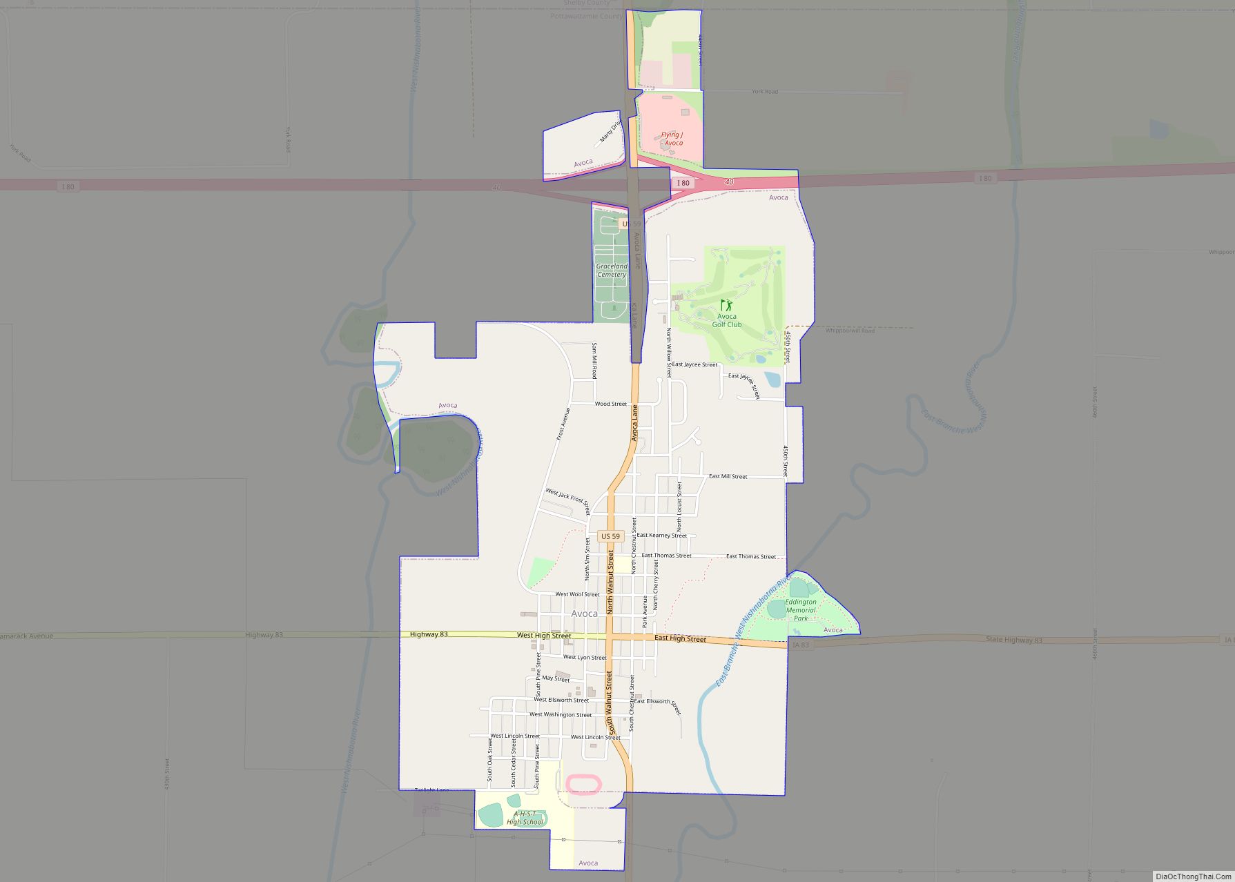
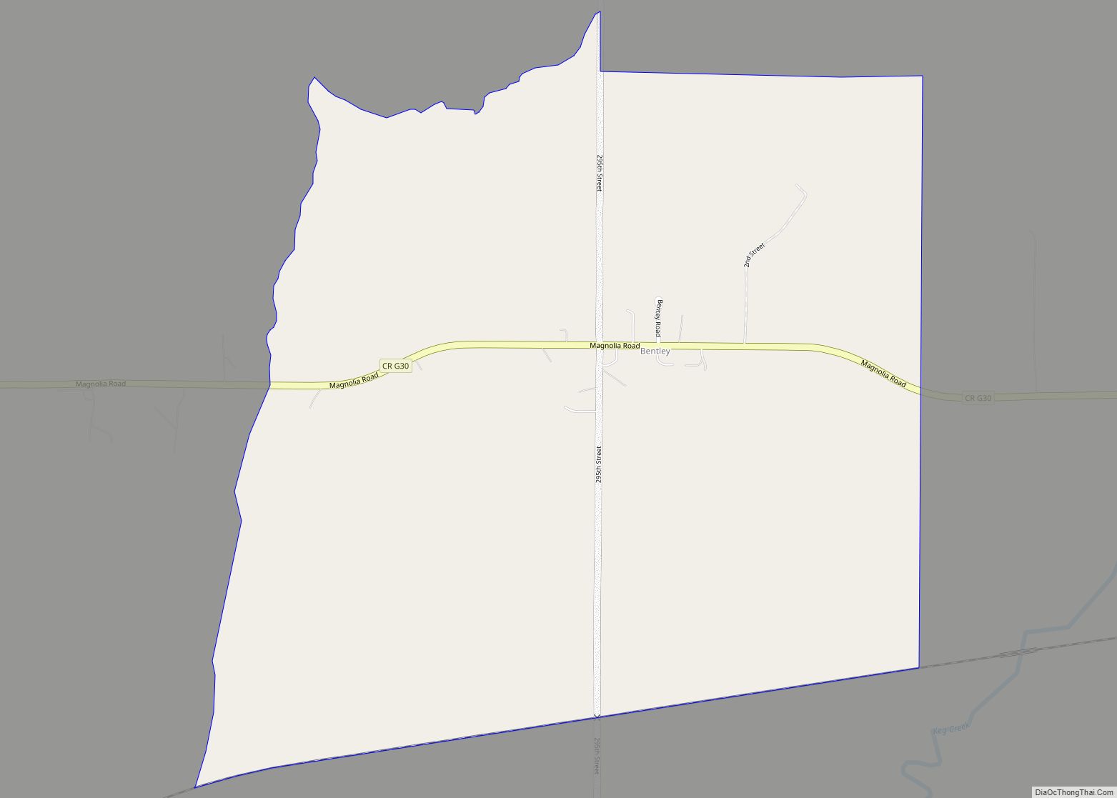
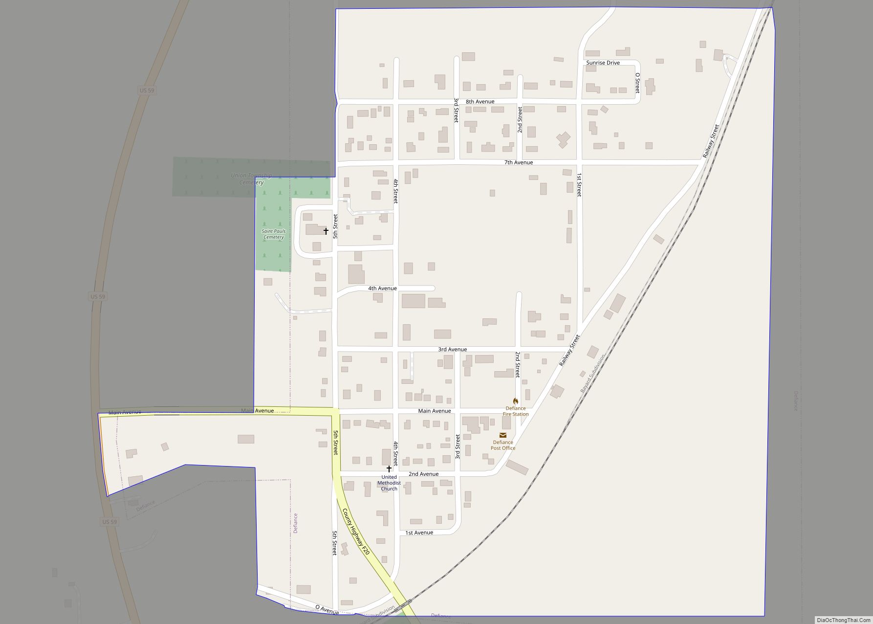
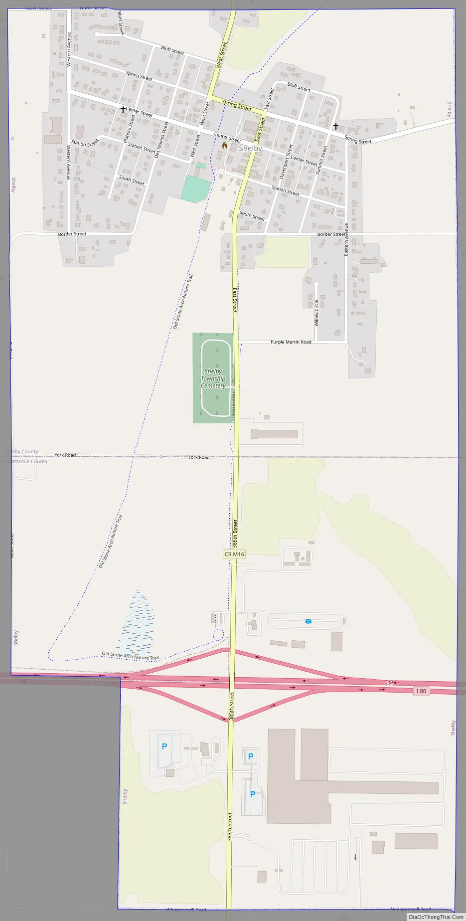
Shelby Road Map
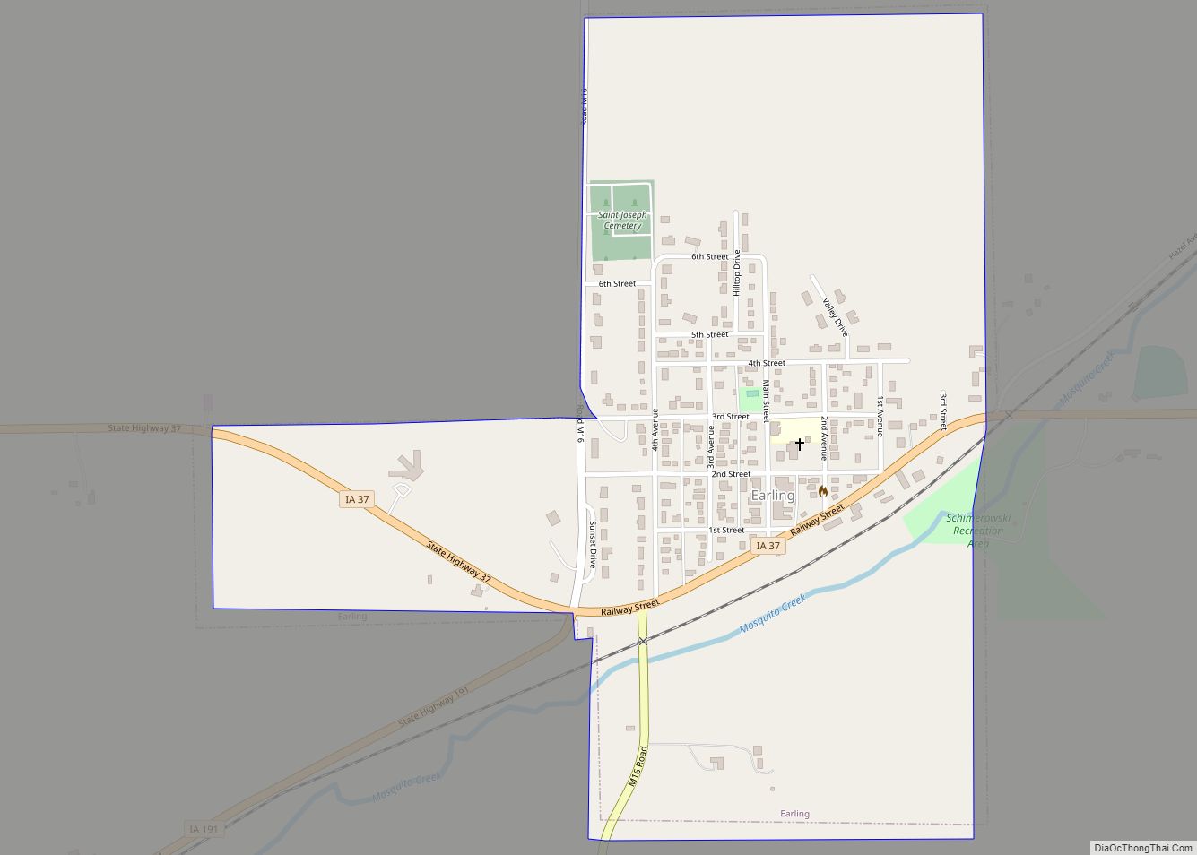
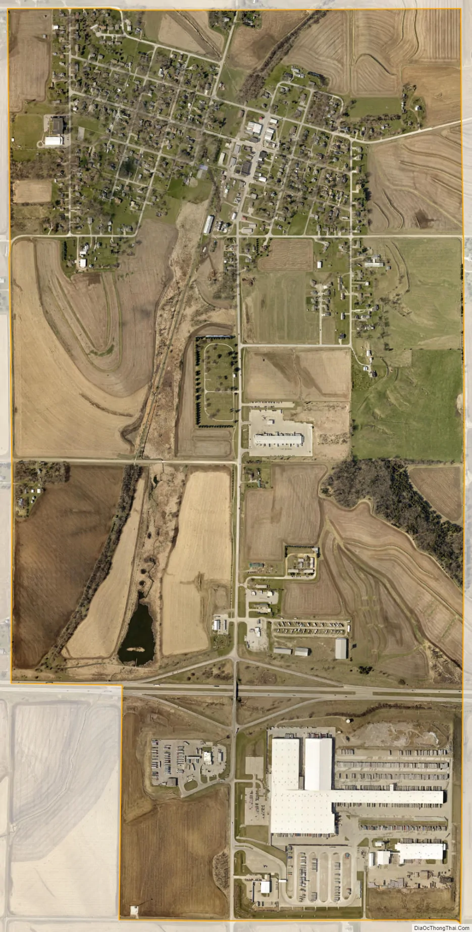
Shelby city Satellite Map
Geography
Shelby is located at 41°30′51″N 95°27′0″W / 41.51417°N 95.45000°W / 41.51417; -95.45000 (41.514291, -95.450038).
According to the United States Census Bureau, the city has a total area of 1.74 square miles (4.51 km), all land.
See also
Map of Iowa State and its subdivision:- Adair
- Adams
- Allamakee
- Appanoose
- Audubon
- Benton
- Black Hawk
- Boone
- Bremer
- Buchanan
- Buena Vista
- Butler
- Calhoun
- Carroll
- Cass
- Cedar
- Cerro Gordo
- Cherokee
- Chickasaw
- Clarke
- Clay
- Clayton
- Clinton
- Crawford
- Dallas
- Davis
- Decatur
- Delaware
- Des Moines
- Dickinson
- Dubuque
- Emmet
- Fayette
- Floyd
- Franklin
- Fremont
- Greene
- Grundy
- Guthrie
- Hamilton
- Hancock
- Hardin
- Harrison
- Henry
- Howard
- Humboldt
- Ida
- Iowa
- Jackson
- Jasper
- Jefferson
- Johnson
- Jones
- Keokuk
- Kossuth
- Lee
- Linn
- Louisa
- Lucas
- Lyon
- Madison
- Mahaska
- Marion
- Marshall
- Mills
- Mitchell
- Monona
- Monroe
- Montgomery
- Muscatine
- O'Brien
- Osceola
- Page
- Palo Alto
- Plymouth
- Pocahontas
- Polk
- Pottawattamie
- Poweshiek
- Ringgold
- Sac
- Scott
- Shelby
- Sioux
- Story
- Tama
- Taylor
- Union
- Van Buren
- Wapello
- Warren
- Washington
- Wayne
- Webster
- Winnebago
- Winneshiek
- Woodbury
- Worth
- Wright
- Alabama
- Alaska
- Arizona
- Arkansas
- California
- Colorado
- Connecticut
- Delaware
- District of Columbia
- Florida
- Georgia
- Hawaii
- Idaho
- Illinois
- Indiana
- Iowa
- Kansas
- Kentucky
- Louisiana
- Maine
- Maryland
- Massachusetts
- Michigan
- Minnesota
- Mississippi
- Missouri
- Montana
- Nebraska
- Nevada
- New Hampshire
- New Jersey
- New Mexico
- New York
- North Carolina
- North Dakota
- Ohio
- Oklahoma
- Oregon
- Pennsylvania
- Rhode Island
- South Carolina
- South Dakota
- Tennessee
- Texas
- Utah
- Vermont
- Virginia
- Washington
- West Virginia
- Wisconsin
- Wyoming