Steamboat Rock is a city in Hardin County, Iowa, United States. The population was 264 at the time of the 2020 census.
| Name: | Steamboat Rock city |
|---|---|
| LSAD Code: | 25 |
| LSAD Description: | city (suffix) |
| State: | Iowa |
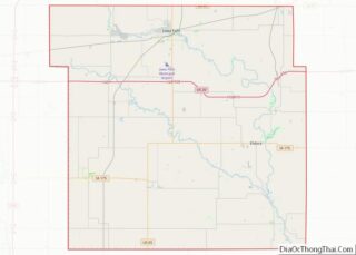
| County: | Hardin County |
| Elevation: | 1,014 ft (309 m) |
| Total Area: | 0.54 sq mi (1.40 km²) |
| Land Area: | 0.54 sq mi (1.40 km²) |
| Water Area: | 0.00 sq mi (0.00 km²) |
| Total Population: | 264 |
| Population Density: | 488.89/sq mi (188.62/km²) |
| ZIP code: | 50672 |
| Area code: | 641 |
| FIPS code: | 1975180 |
| GNISfeature ID: | 0461977 |
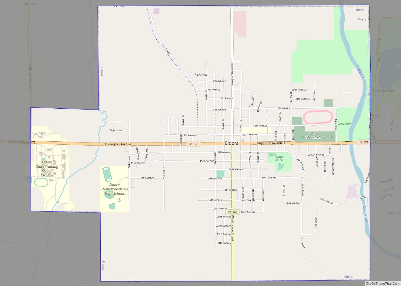
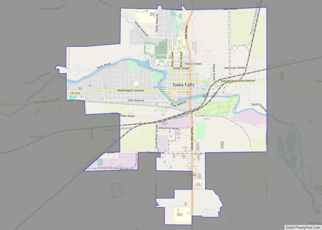
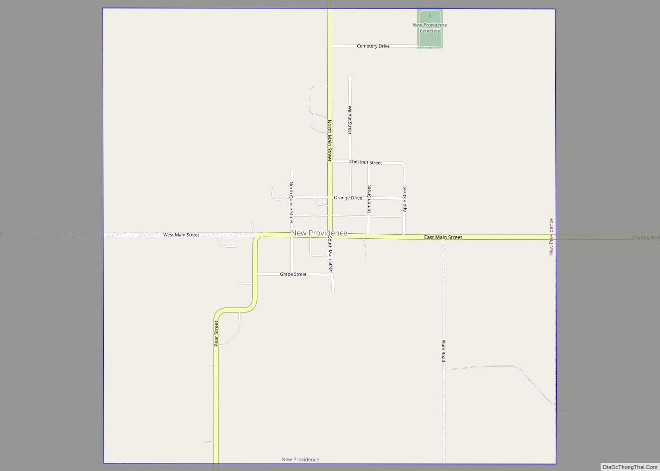
Online Interactive Map
Click on ![]() to view map in "full screen" mode.
to view map in "full screen" mode.
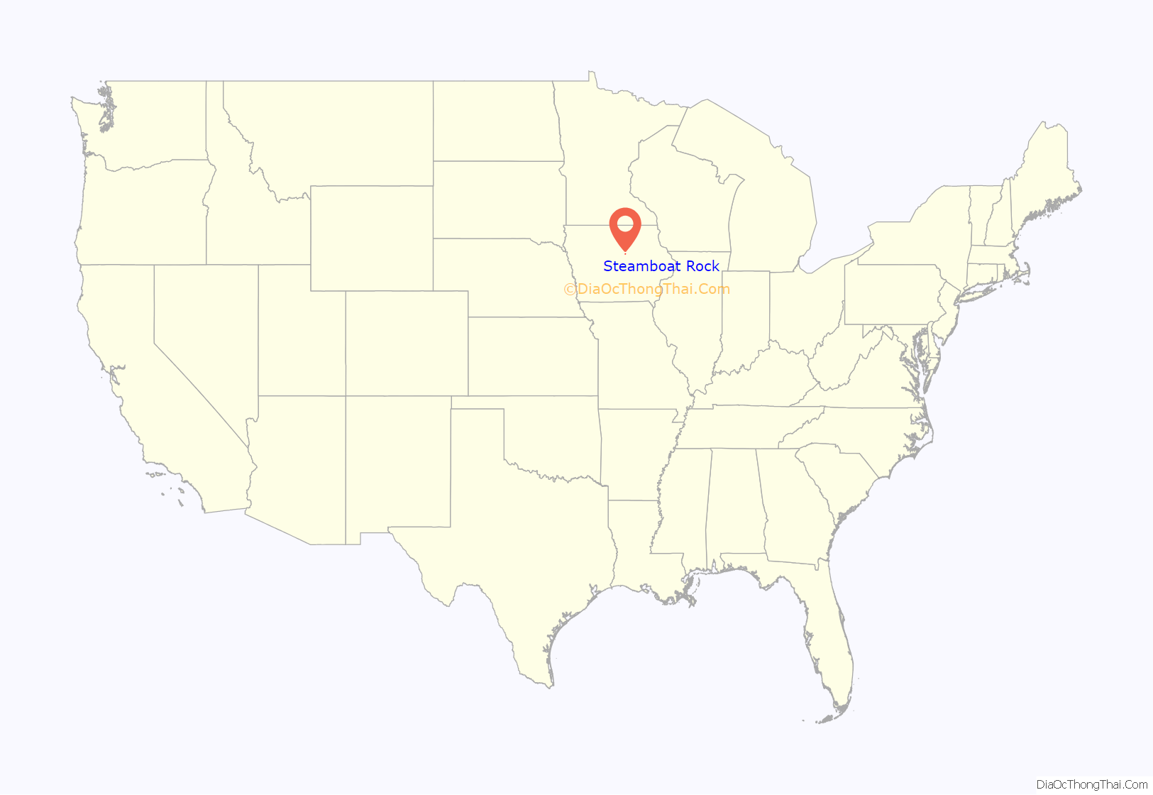
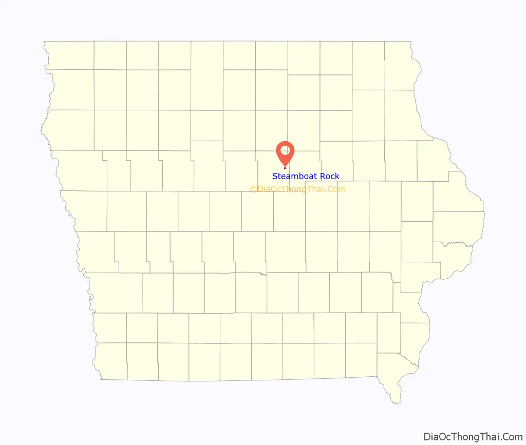
Steamboat Rock location map. Where is Steamboat Rock city?
History
Steamboat Rock was platted in 1855. It was named from a large rock on the river bluff which is said to resemble a queue of steamboats from a distance.
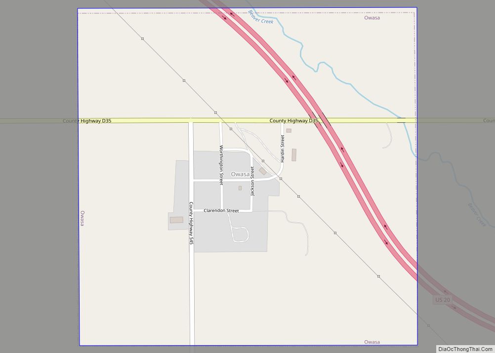
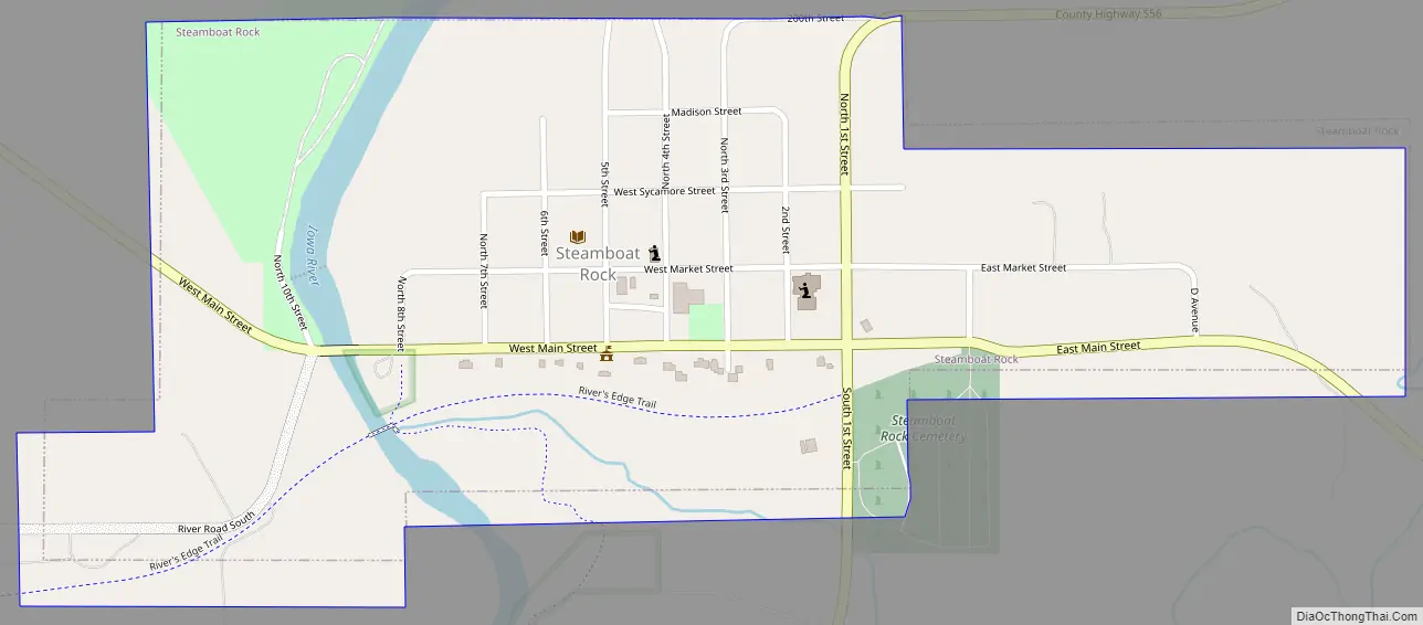
Steamboat Rock Road Map
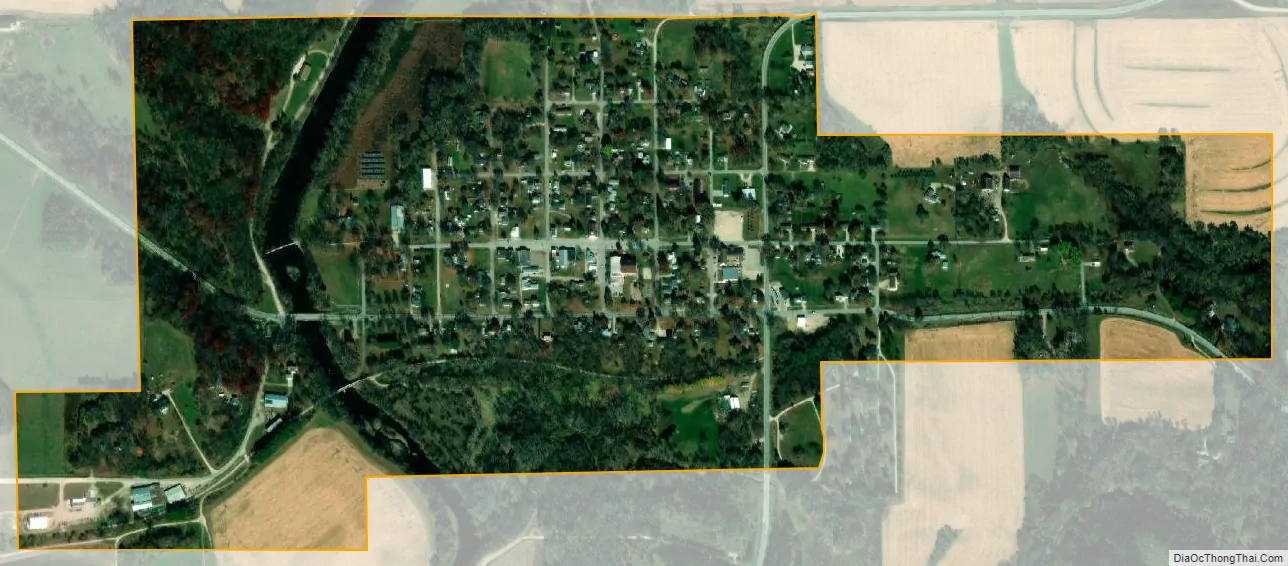
Steamboat Rock city Satellite Map
Geography
Steamboat Rock is located at 42°24′27″N 93°3′59″W / 42.40750°N 93.06639°W / 42.40750; -93.06639 (42.407607, -93.066276).
According to the United States Census Bureau, the city has a total area of 0.55 square miles (1.42 km), all land.
Steamboat Rock is located on the Iowa River, at a point where the river marks the east edge of the Altmont Moraine, the glacial moraine that marks the east border of the Des Moines Lobe of the Wisconsin Glaciation. The river valley here is a deep gorge through the sandstone bedrock underlying the moraine. Unlike most of Iowa, where prairie dominated, this area was historically woodland.
Climate
Designated as having a humid continental climate, this region typically has a large seasonal temperature differences, with warm to hot (and often humid) summers and cold (sometimes severely cold) winters. Precipitation is relatively well distributed year-round in many areas with this climate. The Köppen Climate Classification subtype for this climate is “Dfa”. (Hot Summer Continental Climate).
See also
Map of Iowa State and its subdivision:- Adair
- Adams
- Allamakee
- Appanoose
- Audubon
- Benton
- Black Hawk
- Boone
- Bremer
- Buchanan
- Buena Vista
- Butler
- Calhoun
- Carroll
- Cass
- Cedar
- Cerro Gordo
- Cherokee
- Chickasaw
- Clarke
- Clay
- Clayton
- Clinton
- Crawford
- Dallas
- Davis
- Decatur
- Delaware
- Des Moines
- Dickinson
- Dubuque
- Emmet
- Fayette
- Floyd
- Franklin
- Fremont
- Greene
- Grundy
- Guthrie
- Hamilton
- Hancock
- Hardin
- Harrison
- Henry
- Howard
- Humboldt
- Ida
- Iowa
- Jackson
- Jasper
- Jefferson
- Johnson
- Jones
- Keokuk
- Kossuth
- Lee
- Linn
- Louisa
- Lucas
- Lyon
- Madison
- Mahaska
- Marion
- Marshall
- Mills
- Mitchell
- Monona
- Monroe
- Montgomery
- Muscatine
- O'Brien
- Osceola
- Page
- Palo Alto
- Plymouth
- Pocahontas
- Polk
- Pottawattamie
- Poweshiek
- Ringgold
- Sac
- Scott
- Shelby
- Sioux
- Story
- Tama
- Taylor
- Union
- Van Buren
- Wapello
- Warren
- Washington
- Wayne
- Webster
- Winnebago
- Winneshiek
- Woodbury
- Worth
- Wright
- Alabama
- Alaska
- Arizona
- Arkansas
- California
- Colorado
- Connecticut
- Delaware
- District of Columbia
- Florida
- Georgia
- Hawaii
- Idaho
- Illinois
- Indiana
- Iowa
- Kansas
- Kentucky
- Louisiana
- Maine
- Maryland
- Massachusetts
- Michigan
- Minnesota
- Mississippi
- Missouri
- Montana
- Nebraska
- Nevada
- New Hampshire
- New Jersey
- New Mexico
- New York
- North Carolina
- North Dakota
- Ohio
- Oklahoma
- Oregon
- Pennsylvania
- Rhode Island
- South Carolina
- South Dakota
- Tennessee
- Texas
- Utah
- Vermont
- Virginia
- Washington
- West Virginia
- Wisconsin
- Wyoming