Stone City is an unincorporated community and census-designated place in Jones County, Iowa, United States. Stone City began as a company town for the workers of the local quarries. Stone City is known for its Anamosa Limestone quarries, historic limestone architecture, and 1930s art colony.
| Name: | Stone City CDP |
|---|---|
| LSAD Code: | 57 |
| LSAD Description: | CDP (suffix) |
| State: | Iowa |
| County: | Jones County |
| Elevation: | 820 ft (250 m) |
| Total Area: | 1.81 sq mi (4.70 km²) |
| Land Area: | 1.76 sq mi (4.55 km²) |
| Water Area: | 0.06 sq mi (0.15 km²) |
| Total Population: | 186 |
| Population Density: | 105.80/sq mi (40.85/km²) |
| ZIP code: | 52205 |
| Area code: | 319 |
| FIPS code: | 1975540 |
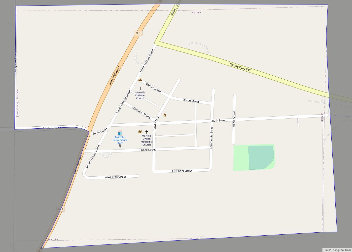
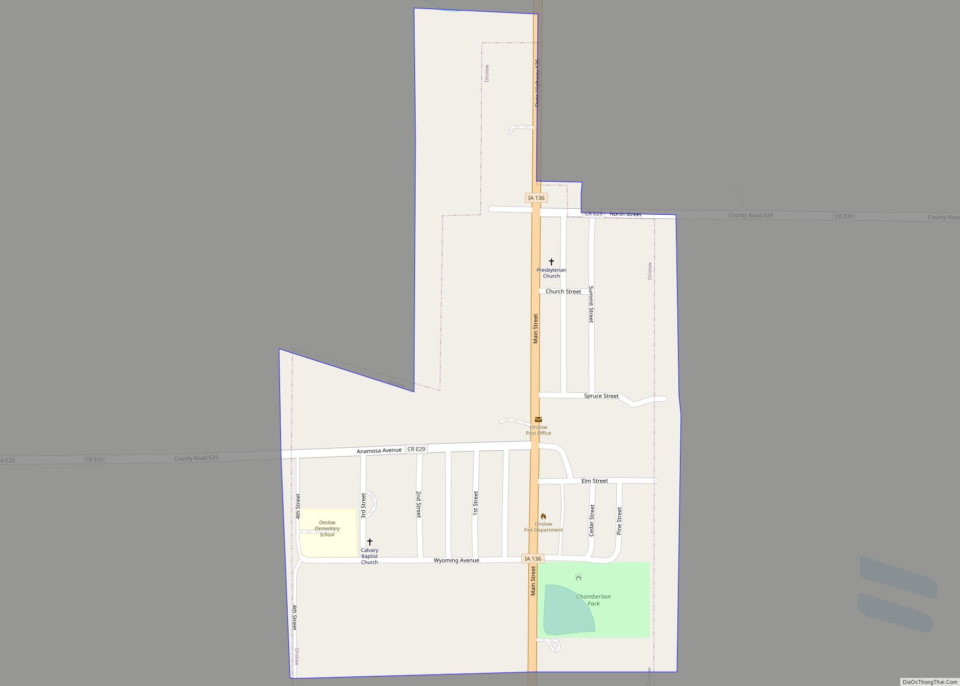
Online Interactive Map
Click on ![]() to view map in "full screen" mode.
to view map in "full screen" mode.
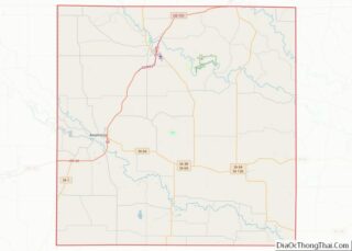
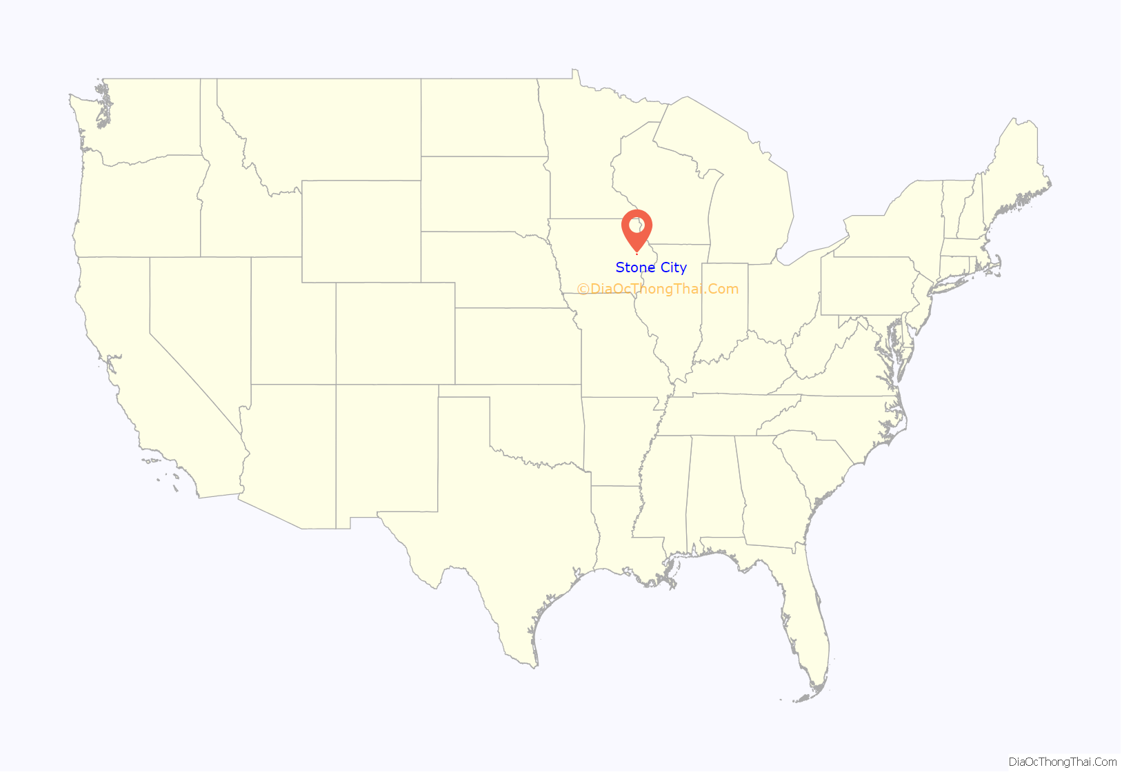
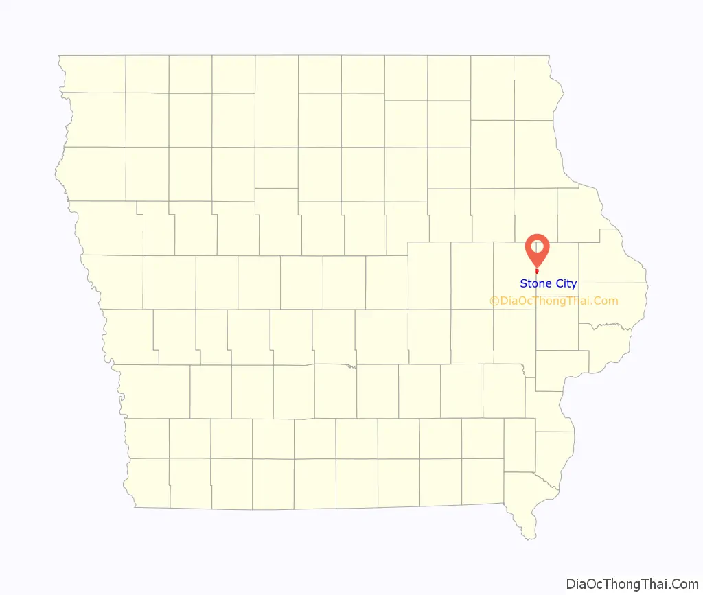
Stone City location map. Where is Stone City CDP?
History
1850–1904
Stone City was founded in 1850 along the banks of the Wapsipinicon River. Early settlers discovered dolomite and limestone at the location. In its earliest history Stone City was known as the Anamosa Quarries. Later the area became known as the Stone City Quarries. In the late 1800s, Henry Dearborn, John Green, and John Ronen each opened limestone quarries in the area. As the railroad system expanded westward, distribution of limestone to bordering states increased. Stone City limestone became the primary building material for railroad bridges, bridge piers, and foundations for major buildings. Each year, between the years 1859 to 1895, over 150,000 railroad car shipments of limestone were sent from Stone City.
As the quarry business flourished, a city of stone emerged as hundreds of people settled in the area. First came a three-story, hotel and opera house complex known as Columbia Hall. It was completed in 1883 and made of 500,000 tons of stone. The theater offered some of the most well known entertainers of the day. By 1880 the population of Stone City reached five hundred. Overlooking the town, Green built his twelve-room mansion containing seven Italian marble fireplaces, hand-painted murals, two baths, and a conservatory. Once the house was complete, Green erected more of the city – a railway station, a post office, schoolhouse, a blacksmith shop, water tower, and several houses, all made of stone.
1905–1950
In 1905 Portland cement began to be produced in Waterloo, Iowa. The use of Portland cement in place of quarried stone had an adverse effect on the economy of the Stone City and one by one the quarries began to shut down. During the next half century, nature reclaimed most of the quarries. Columbia Hall was purchased in the 1930s and torn down in 1938 to use the stone elsewhere. In 1963 the Green Mansion was tragically damaged by fire and torn down in the 1990s.
Stone City was once the location of an art colony. In 1932, Grant Wood, Edward Rowan, and Adrian Dornbush established Stone City Art Colony. With little more than $100 and a number of promissory notes based on the success of the art colony they leased 10 acres (40,000 m) of land on the Green Estate. An area of 200 acres (0.81 km) of the estate had been purchased by Frank Nissen in 1920. The parcel of leased land included the Green Mansion, the Ice House and Water Tower. The upstairs portion of the house was converted into a dormitory. The rest of the house was used for business offices, kitchen, a sculpture studio and showers for the men. The basement of the ice house was made into a bar called The Sickle and Sheaf where instructor/student Dennis Burlingame tended bar. The upper portion of the water tower was converted into an apartment where Adrian Dornbush lived. It was called Adrian’s Tomb. The art colony failed. In terms of attendance and reputation the colony was a huge success. However, it was never a financial success.
1950–present
Thanks to the vision of George Nissen (the developer of the modern trampoline) the original three-story Stone Barn, the Quarry Office, Water Tower and Ice House were preserved although they have been converted into private homes. The preservation of these structures, along with St. Joseph’s Catholic Church, Schoolhouse, General Store, Dearborn Residence, Blacksmith Shop and several other private homes has helped revitalize the town with new families without losing the charm of old Stone City. Many of the remaining buildings have been listed on the National Register of Historic Places.
In 1952 the quarries underwent an economic revival under a new owner. The Stone City quarries have continued to grow and have become one of the largest quarries in the Midwest. The “Stone City quarries” now ship stone all over the United States. The stone from the banks of the Wapsipinicon River can be seen in both old and new construction, not just in Iowa, but across the United States. One of the most recent uses of this limestone can be seen in the new Disney Concert Hall in Los Angeles.
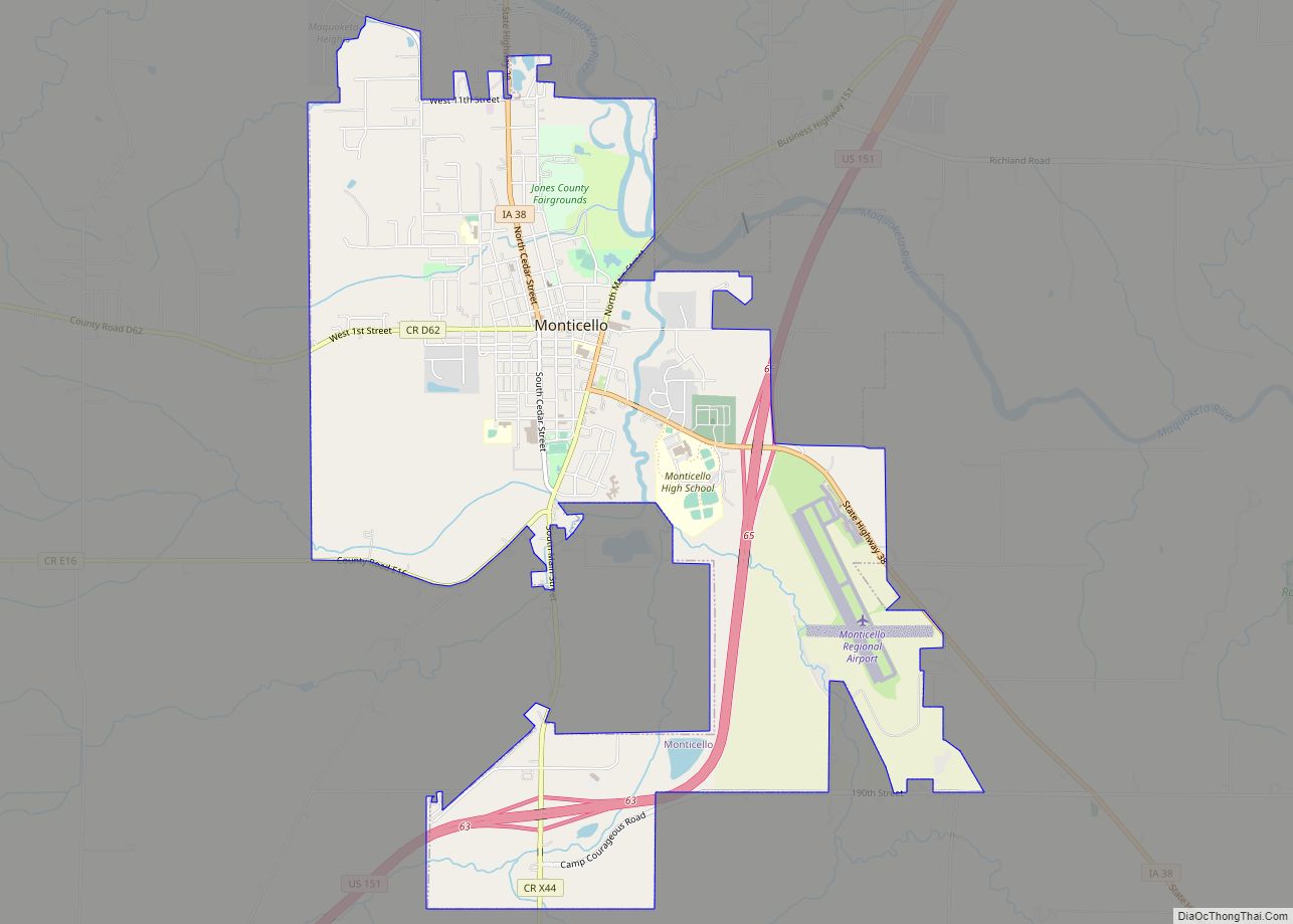
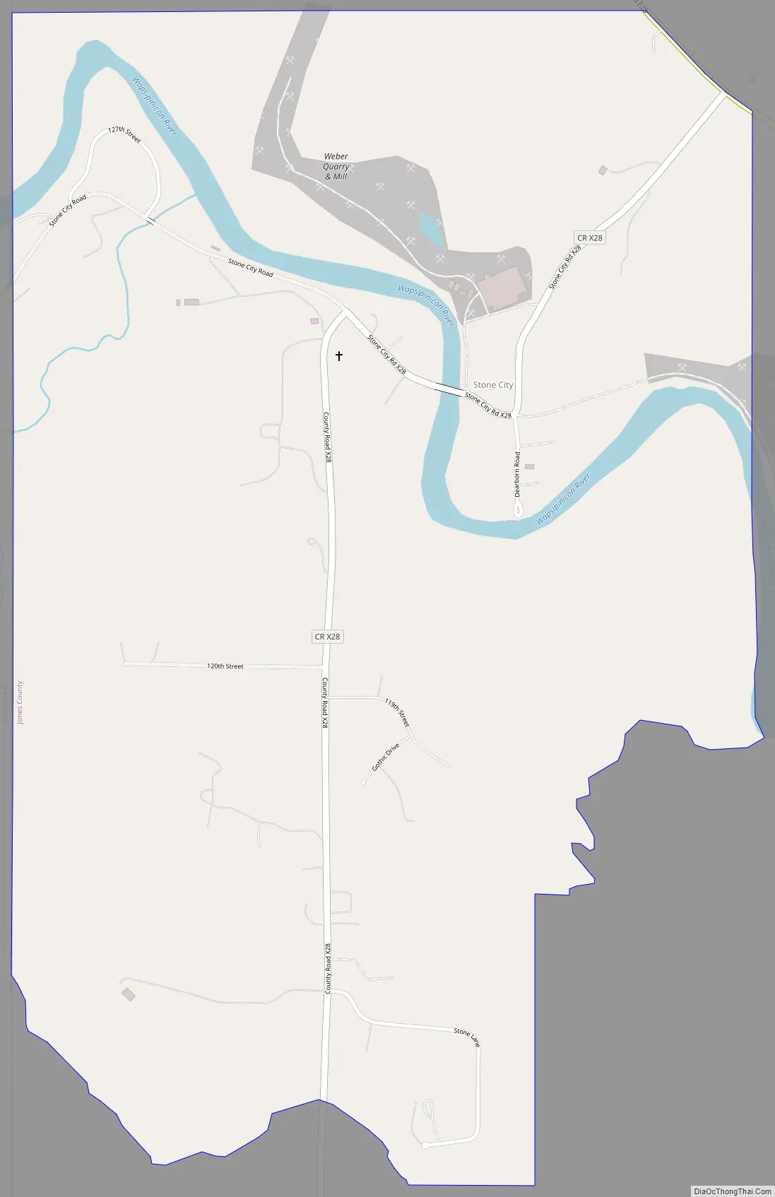
Stone City Road Map
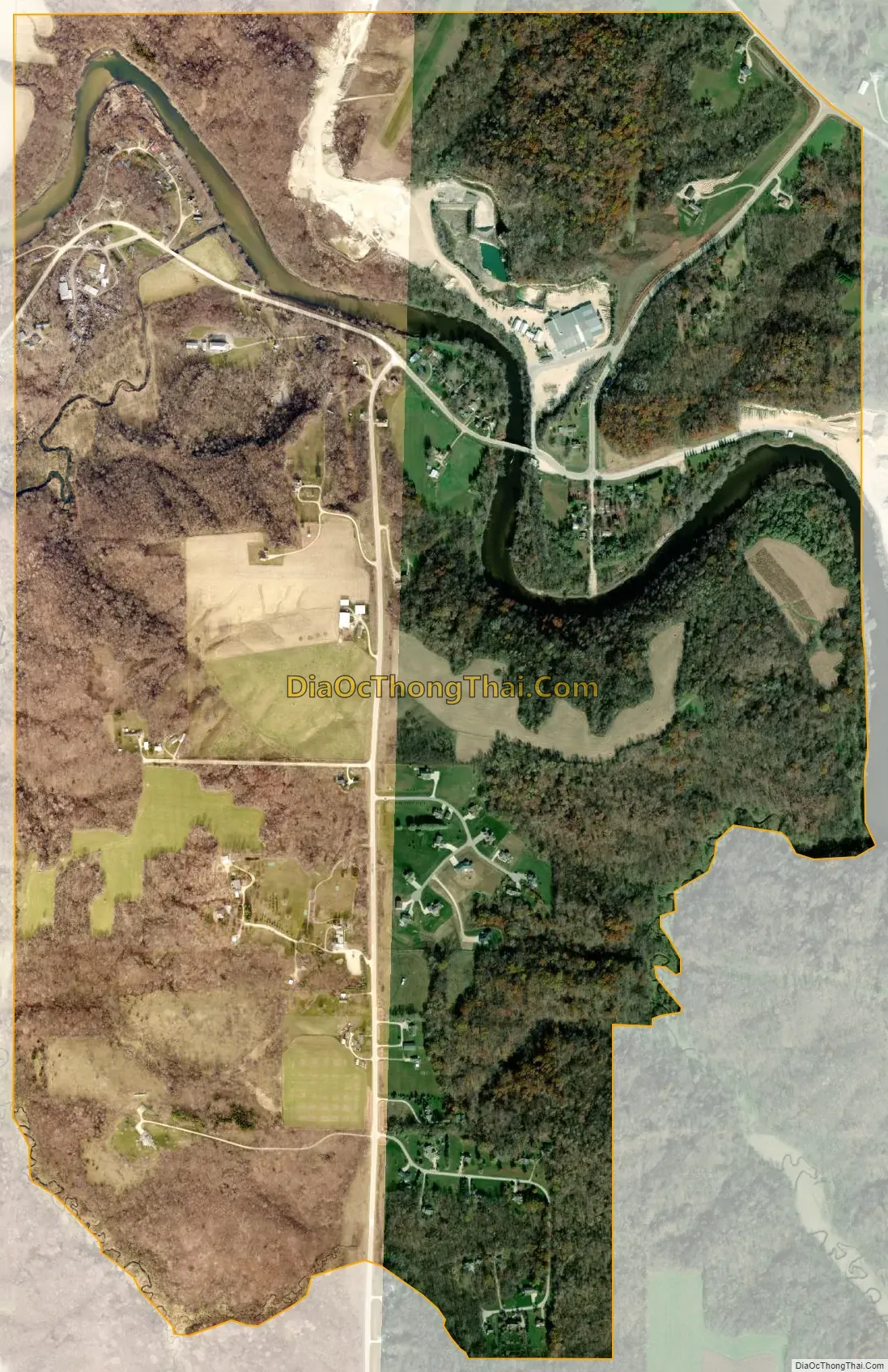
Stone City city Satellite Map
Geography
Stone City is located at 42°06′20″N 91°21′01″W / 42.105427°N 91.350196°W / 42.105427; -91.350196 (42.105427, -91.350196).
According to the United States Census Bureau, the community has a total area of 1.79 square miles (4.64 km).
See also
Map of Iowa State and its subdivision:- Adair
- Adams
- Allamakee
- Appanoose
- Audubon
- Benton
- Black Hawk
- Boone
- Bremer
- Buchanan
- Buena Vista
- Butler
- Calhoun
- Carroll
- Cass
- Cedar
- Cerro Gordo
- Cherokee
- Chickasaw
- Clarke
- Clay
- Clayton
- Clinton
- Crawford
- Dallas
- Davis
- Decatur
- Delaware
- Des Moines
- Dickinson
- Dubuque
- Emmet
- Fayette
- Floyd
- Franklin
- Fremont
- Greene
- Grundy
- Guthrie
- Hamilton
- Hancock
- Hardin
- Harrison
- Henry
- Howard
- Humboldt
- Ida
- Iowa
- Jackson
- Jasper
- Jefferson
- Johnson
- Jones
- Keokuk
- Kossuth
- Lee
- Linn
- Louisa
- Lucas
- Lyon
- Madison
- Mahaska
- Marion
- Marshall
- Mills
- Mitchell
- Monona
- Monroe
- Montgomery
- Muscatine
- O'Brien
- Osceola
- Page
- Palo Alto
- Plymouth
- Pocahontas
- Polk
- Pottawattamie
- Poweshiek
- Ringgold
- Sac
- Scott
- Shelby
- Sioux
- Story
- Tama
- Taylor
- Union
- Van Buren
- Wapello
- Warren
- Washington
- Wayne
- Webster
- Winnebago
- Winneshiek
- Woodbury
- Worth
- Wright
- Alabama
- Alaska
- Arizona
- Arkansas
- California
- Colorado
- Connecticut
- Delaware
- District of Columbia
- Florida
- Georgia
- Hawaii
- Idaho
- Illinois
- Indiana
- Iowa
- Kansas
- Kentucky
- Louisiana
- Maine
- Maryland
- Massachusetts
- Michigan
- Minnesota
- Mississippi
- Missouri
- Montana
- Nebraska
- Nevada
- New Hampshire
- New Jersey
- New Mexico
- New York
- North Carolina
- North Dakota
- Ohio
- Oklahoma
- Oregon
- Pennsylvania
- Rhode Island
- South Carolina
- South Dakota
- Tennessee
- Texas
- Utah
- Vermont
- Virginia
- Washington
- West Virginia
- Wisconsin
- Wyoming