Treynor is a city in Pottawattamie County, Iowa, United States. The population was 1,032 as of the 2020 census.
| Name: | Treynor city |
|---|---|
| LSAD Code: | 25 |
| LSAD Description: | city (suffix) |
| State: | Iowa |
| County: | Pottawattamie County |
| Elevation: | 1,211 ft (369 m) |
| Total Area: | 0.65 sq mi (1.67 km²) |
| Land Area: | 0.65 sq mi (1.67 km²) |
| Water Area: | 0.00 sq mi (0.00 km²) |
| Total Population: | 1,032 |
| Population Density: | 1,600.00/sq mi (617.95/km²) |
| ZIP code: | 51575 |
| Area code: | 712 |
| FIPS code: | 1978825 |
| GNISfeature ID: | 0462298 |
| Website: | cityoftreynor.com |
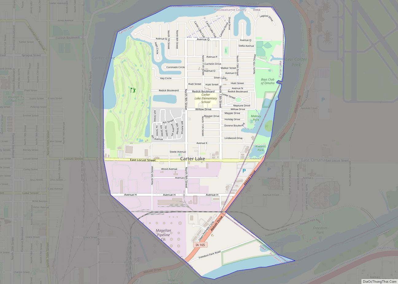
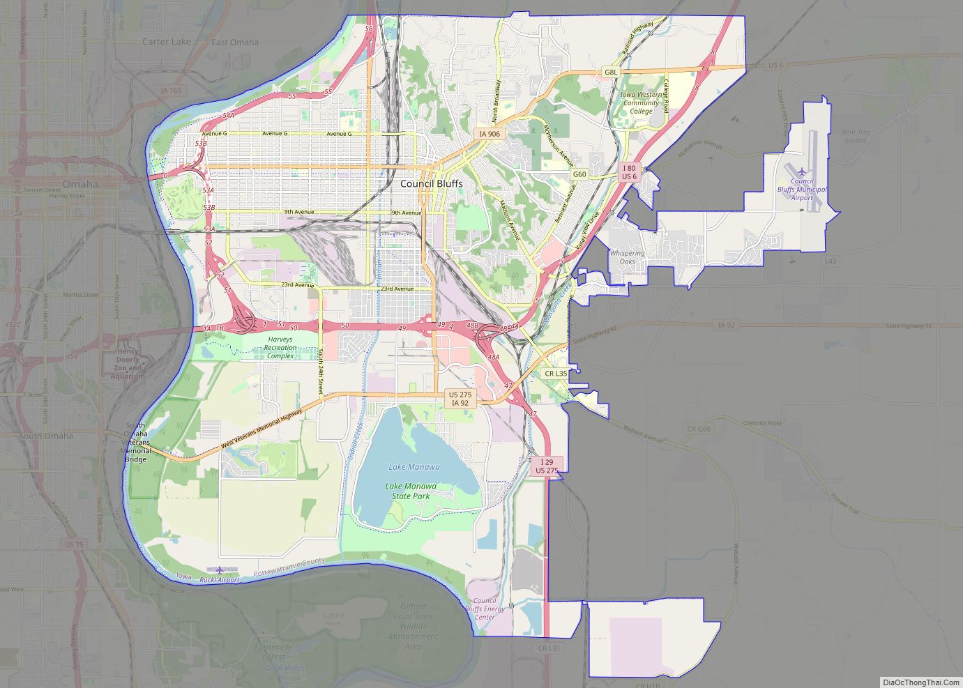
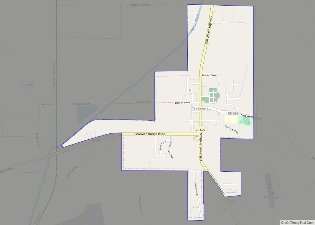
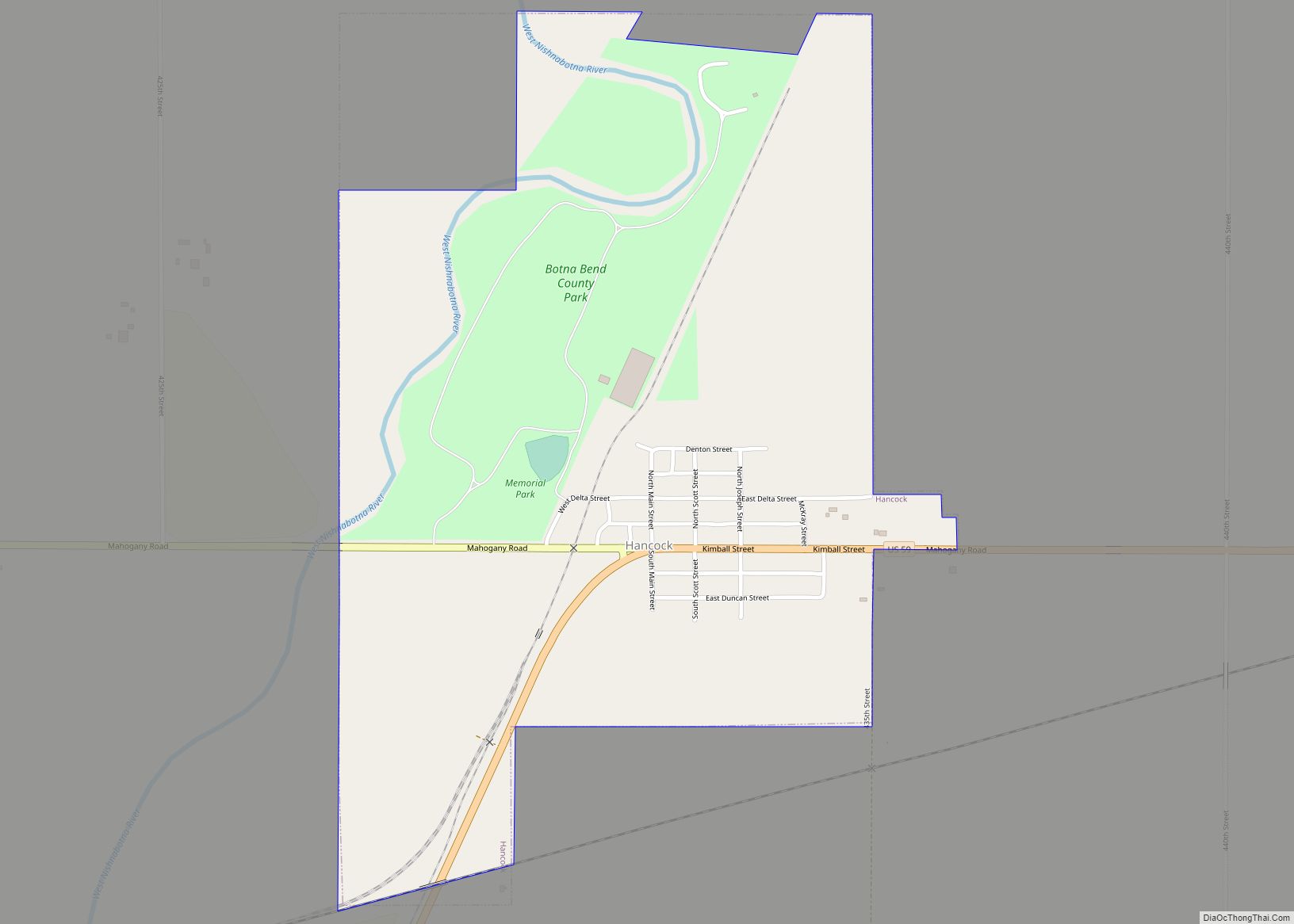
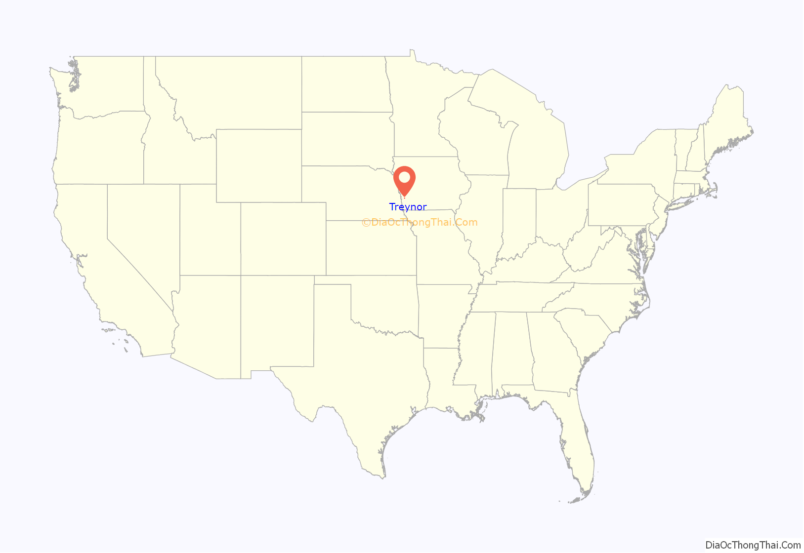
Online Interactive Map
Click on ![]() to view map in "full screen" mode.
to view map in "full screen" mode.
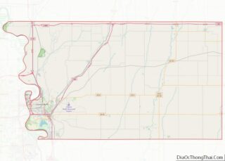
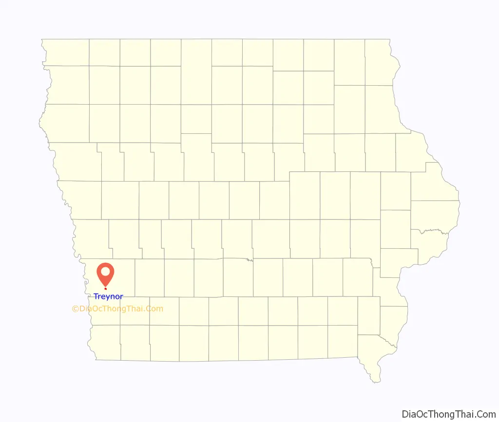
Treynor location map. Where is Treynor city?
History
Treynor began east of Council Bluffs, IA in the late 1880s with the establishment of Fritz Eyberg’s General Store, August Olderog’s dance hall and saloon, and St Paul’s German Evangelical Church. The vicinity east of Middle Silver Creek had previously been known for its number of wolves. Local German immigrant farmers referred to the settlement as Four Corners or High Five, a popular card name, until the post office opened in the early 1890s as Treynor, named after the recently deceased Council Bluffs postmaster. By the time the town was incorporated in 1905, it included two general stores, two saloons, a furniture/implement house, a livery stable, several blacksmith shops, and the Treynor State Bank. In 1911, the community got its own railroad with the opening of the Iowa & Omaha Shortline which ran 12 miles to Neoga, a small depot on the Wabash Railroad line southeast of Council Bluffs. The line was unprofitable and ended operations after five years. The Great Depression closed down the Treynor State Bank while improvements began on the “Short-line” Road from Treynor to Council Bluffs that is now Iowa Highway 92. An Air Force radar base operated just outside town during the early years of the Cold War.
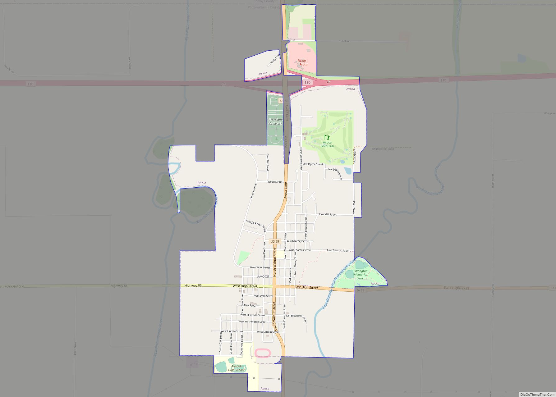
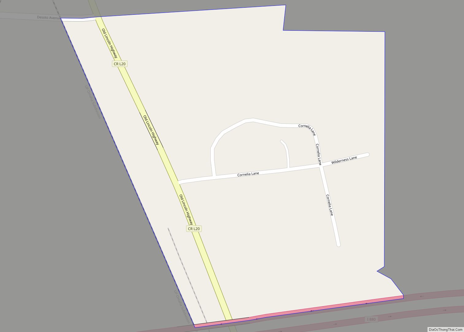
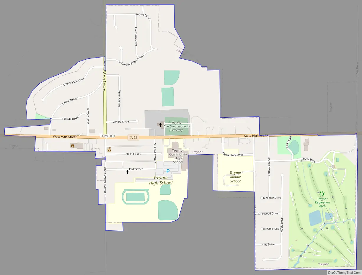
Treynor Road Map
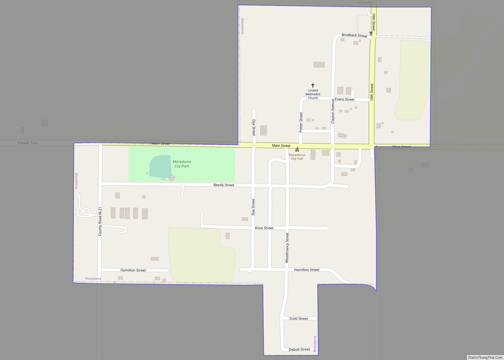
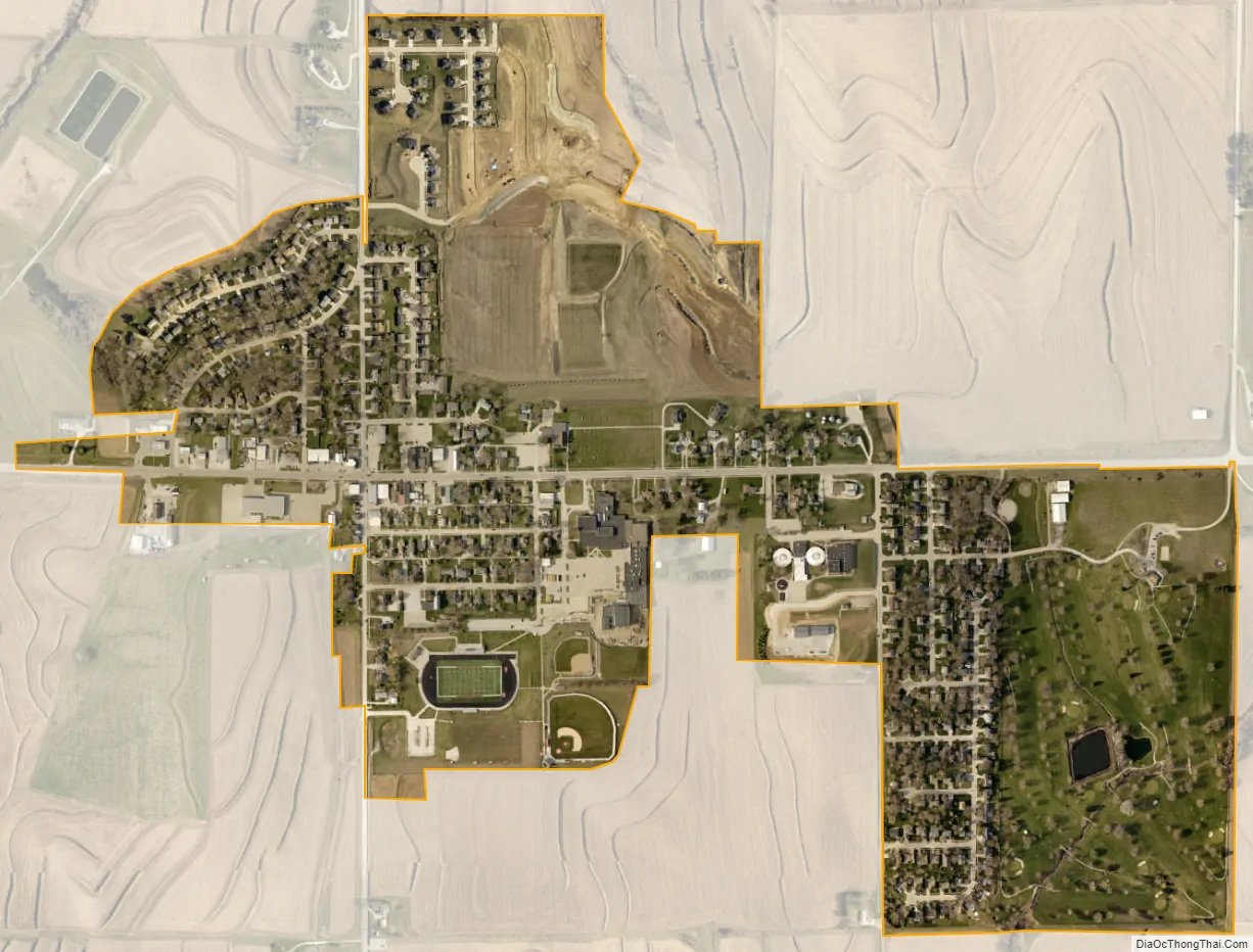
Treynor city Satellite Map
Geography
Treynor is located at 41°13′52″N 95°36′24″W / 41.23111°N 95.60667°W / 41.23111; -95.60667 (41.231042, −95.606648).
According to the United States Census Bureau, the city has a total area of 0.58 square miles (1.50 km), all land.
See also
Map of Iowa State and its subdivision:- Adair
- Adams
- Allamakee
- Appanoose
- Audubon
- Benton
- Black Hawk
- Boone
- Bremer
- Buchanan
- Buena Vista
- Butler
- Calhoun
- Carroll
- Cass
- Cedar
- Cerro Gordo
- Cherokee
- Chickasaw
- Clarke
- Clay
- Clayton
- Clinton
- Crawford
- Dallas
- Davis
- Decatur
- Delaware
- Des Moines
- Dickinson
- Dubuque
- Emmet
- Fayette
- Floyd
- Franklin
- Fremont
- Greene
- Grundy
- Guthrie
- Hamilton
- Hancock
- Hardin
- Harrison
- Henry
- Howard
- Humboldt
- Ida
- Iowa
- Jackson
- Jasper
- Jefferson
- Johnson
- Jones
- Keokuk
- Kossuth
- Lee
- Linn
- Louisa
- Lucas
- Lyon
- Madison
- Mahaska
- Marion
- Marshall
- Mills
- Mitchell
- Monona
- Monroe
- Montgomery
- Muscatine
- O'Brien
- Osceola
- Page
- Palo Alto
- Plymouth
- Pocahontas
- Polk
- Pottawattamie
- Poweshiek
- Ringgold
- Sac
- Scott
- Shelby
- Sioux
- Story
- Tama
- Taylor
- Union
- Van Buren
- Wapello
- Warren
- Washington
- Wayne
- Webster
- Winnebago
- Winneshiek
- Woodbury
- Worth
- Wright
- Alabama
- Alaska
- Arizona
- Arkansas
- California
- Colorado
- Connecticut
- Delaware
- District of Columbia
- Florida
- Georgia
- Hawaii
- Idaho
- Illinois
- Indiana
- Iowa
- Kansas
- Kentucky
- Louisiana
- Maine
- Maryland
- Massachusetts
- Michigan
- Minnesota
- Mississippi
- Missouri
- Montana
- Nebraska
- Nevada
- New Hampshire
- New Jersey
- New Mexico
- New York
- North Carolina
- North Dakota
- Ohio
- Oklahoma
- Oregon
- Pennsylvania
- Rhode Island
- South Carolina
- South Dakota
- Tennessee
- Texas
- Utah
- Vermont
- Virginia
- Washington
- West Virginia
- Wisconsin
- Wyoming