Walford is a city in Benton and Linn counties in the U.S. state of Iowa. The population was 1,366 at the time of the 2020 census. It is part of the Cedar Rapids Metropolitan Statistical Area.
| Name: | Walford city |
|---|---|
| LSAD Code: | 25 |
| LSAD Description: | city (suffix) |
| State: | Iowa |
| County: | Benton County, Linn County |
| Elevation: | 804 ft (245 m) |
| Total Area: | 1.04 sq mi (2.69 km²) |
| Land Area: | 1.04 sq mi (2.69 km²) |
| Water Area: | 0.00 sq mi (0.00 km²) |
| Total Population: | 1,366 |
| Population Density: | 1,313.46/sq mi (506.94/km²) |
| ZIP code: | 52351 |
| Area code: | 319 |
| FIPS code: | 1981840 |
| GNISfeature ID: | 0462607 |
| Website: | http://www.cityofwalford.com |
Online Interactive Map
Click on ![]() to view map in "full screen" mode.
to view map in "full screen" mode.
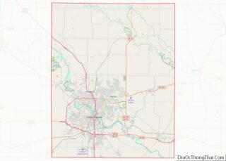
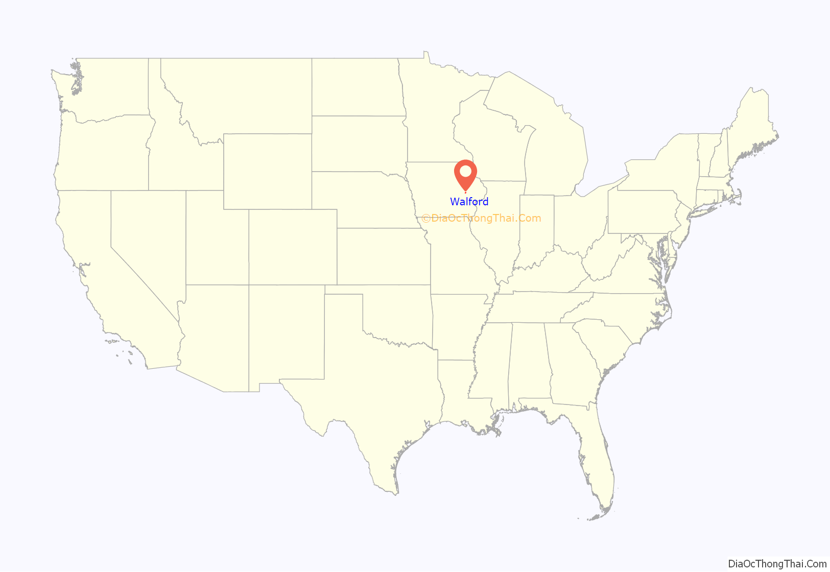
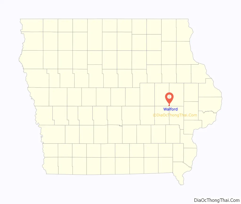
Walford location map. Where is Walford city?
History
Walford was originally called Terry, and under the latter name was laid out in the year 1884 when the Chicago, Milwaukee and St. Paul Railroad was extended to that point. In 1889, the town’s name was changed to Walford, primarily at the behest of the U.S. Postal Service due to the similarity of names between Terry and Perry, Iowa. In 1897, Walford gained national attention when the general store burned down, leaving a charred corpse; since two men were missing, news stories about the identity of the corpse and the hunt for the survivor made the headlines for weeks.
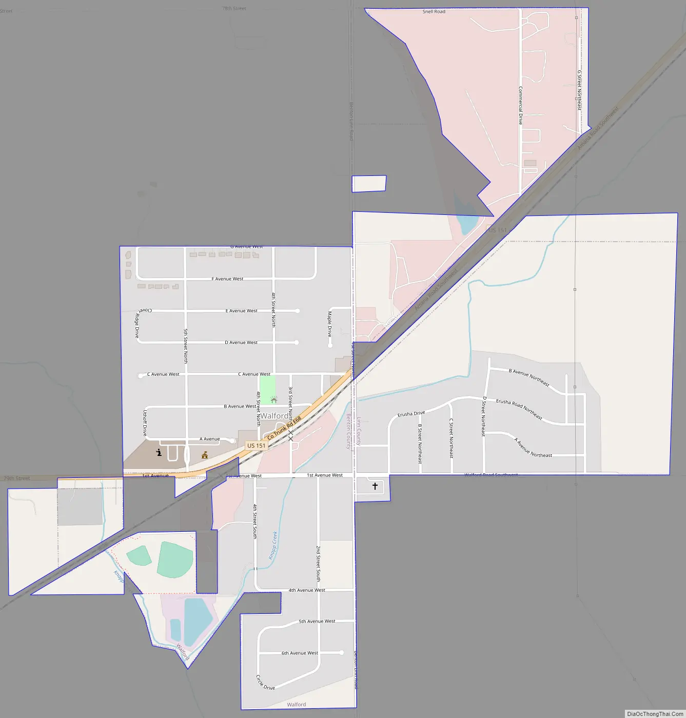
Walford Road Map
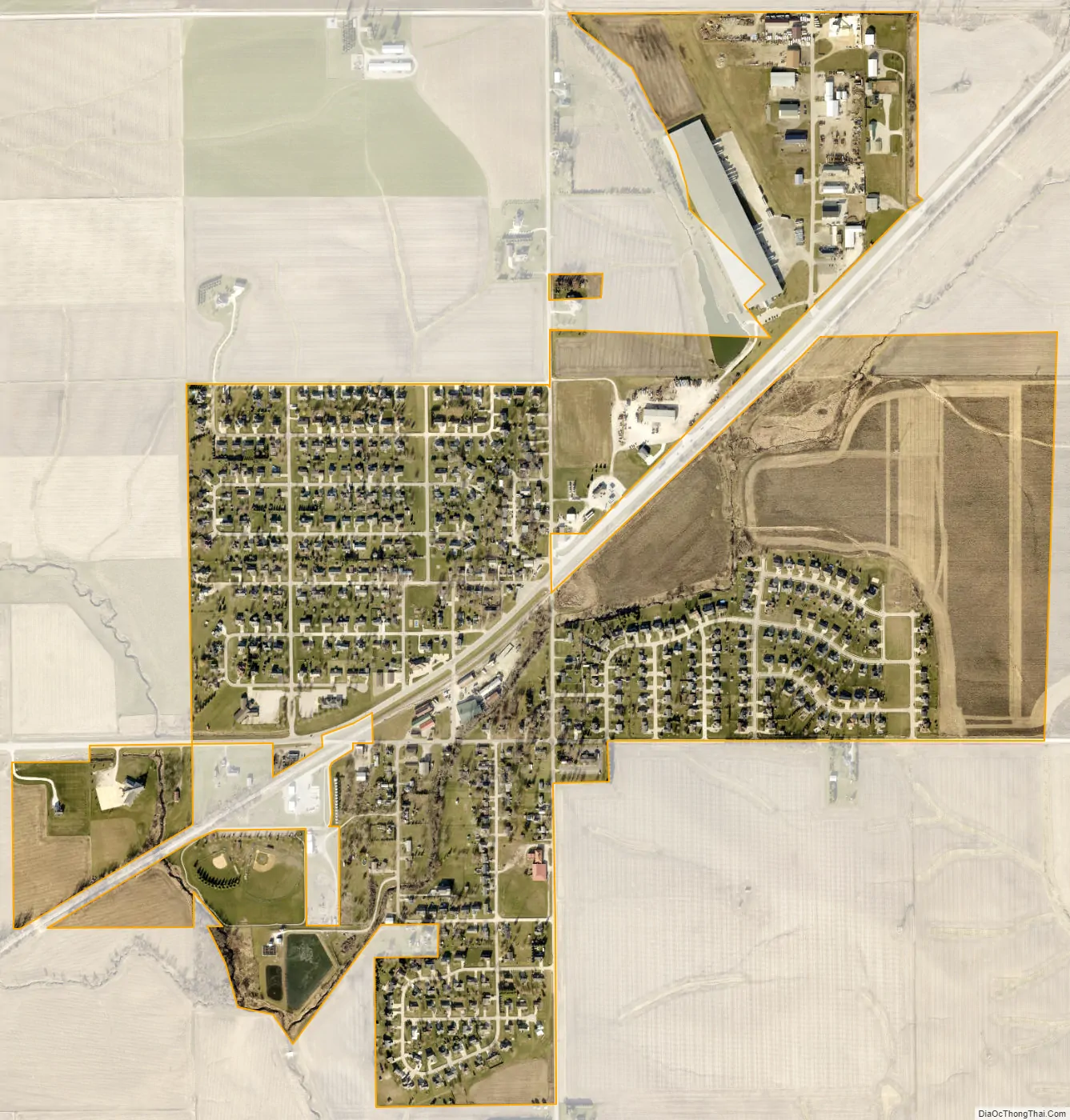
Walford city Satellite Map
Geography
According to the United States Census Bureau, the city has a total area of 1.11 square miles (2.87 km), all land.
Climate
This region has significant seasonal temperature differences, going from warm summers to very cold winters. There is precipitation year-round. Most summer rainfall occurs during thunderstorms and during a very occasional tropical system.
See also
Map of Iowa State and its subdivision:- Adair
- Adams
- Allamakee
- Appanoose
- Audubon
- Benton
- Black Hawk
- Boone
- Bremer
- Buchanan
- Buena Vista
- Butler
- Calhoun
- Carroll
- Cass
- Cedar
- Cerro Gordo
- Cherokee
- Chickasaw
- Clarke
- Clay
- Clayton
- Clinton
- Crawford
- Dallas
- Davis
- Decatur
- Delaware
- Des Moines
- Dickinson
- Dubuque
- Emmet
- Fayette
- Floyd
- Franklin
- Fremont
- Greene
- Grundy
- Guthrie
- Hamilton
- Hancock
- Hardin
- Harrison
- Henry
- Howard
- Humboldt
- Ida
- Iowa
- Jackson
- Jasper
- Jefferson
- Johnson
- Jones
- Keokuk
- Kossuth
- Lee
- Linn
- Louisa
- Lucas
- Lyon
- Madison
- Mahaska
- Marion
- Marshall
- Mills
- Mitchell
- Monona
- Monroe
- Montgomery
- Muscatine
- O'Brien
- Osceola
- Page
- Palo Alto
- Plymouth
- Pocahontas
- Polk
- Pottawattamie
- Poweshiek
- Ringgold
- Sac
- Scott
- Shelby
- Sioux
- Story
- Tama
- Taylor
- Union
- Van Buren
- Wapello
- Warren
- Washington
- Wayne
- Webster
- Winnebago
- Winneshiek
- Woodbury
- Worth
- Wright
- Alabama
- Alaska
- Arizona
- Arkansas
- California
- Colorado
- Connecticut
- Delaware
- District of Columbia
- Florida
- Georgia
- Hawaii
- Idaho
- Illinois
- Indiana
- Iowa
- Kansas
- Kentucky
- Louisiana
- Maine
- Maryland
- Massachusetts
- Michigan
- Minnesota
- Mississippi
- Missouri
- Montana
- Nebraska
- Nevada
- New Hampshire
- New Jersey
- New Mexico
- New York
- North Carolina
- North Dakota
- Ohio
- Oklahoma
- Oregon
- Pennsylvania
- Rhode Island
- South Carolina
- South Dakota
- Tennessee
- Texas
- Utah
- Vermont
- Virginia
- Washington
- West Virginia
- Wisconsin
- Wyoming