West Branch is a city in Cedar and Johnson counties in the U.S. state of Iowa. The population was 2,509 as of the 2020 census. It is the birthplace of the only American president born in Iowa, Herbert Hoover.
The Johnson County portion of West Branch is part of the Iowa City, Iowa Metropolitan Statistical Area.
| Name: | West Branch city |
|---|---|
| LSAD Code: | 25 |
| LSAD Description: | city (suffix) |
| State: | Iowa |
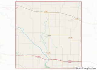
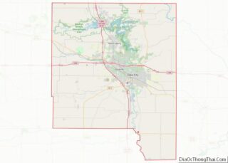
| County: | Cedar County, Johnson County |
| Elevation: | 719 ft (219 m) |
| Total Area: | 2.57 sq mi (6.66 km²) |
| Land Area: | 2.57 sq mi (6.66 km²) |
| Water Area: | 0.00 sq mi (0.00 km²) |
| Total Population: | 2,509 |
| Population Density: | 975.88/sq mi (376.79/km²) |
| ZIP code: | 52358 |
| Area code: | 319 |
| FIPS code: | 1983595 |
| GNISfeature ID: | 0462807 |
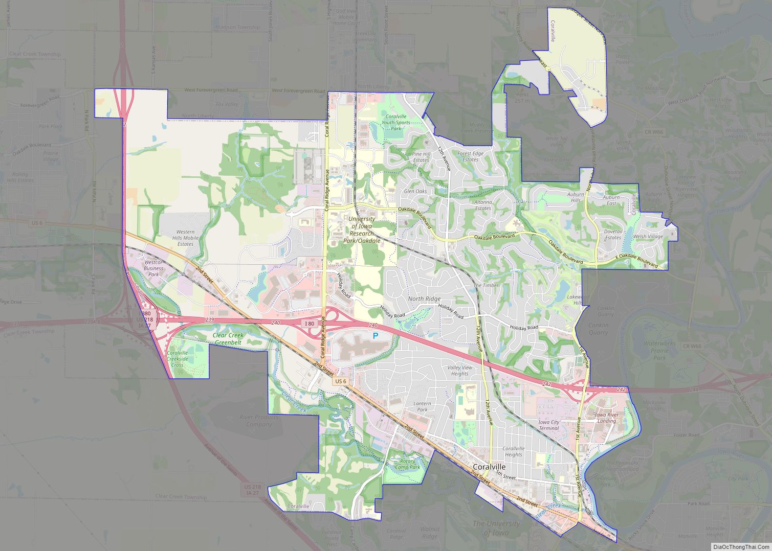
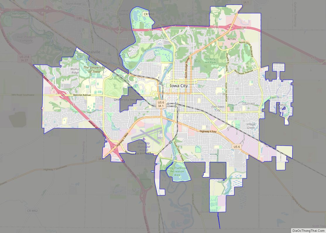
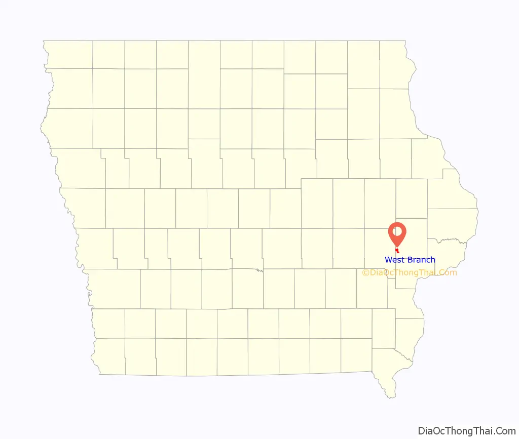
Online Interactive Map
Click on ![]() to view map in "full screen" mode.
to view map in "full screen" mode.
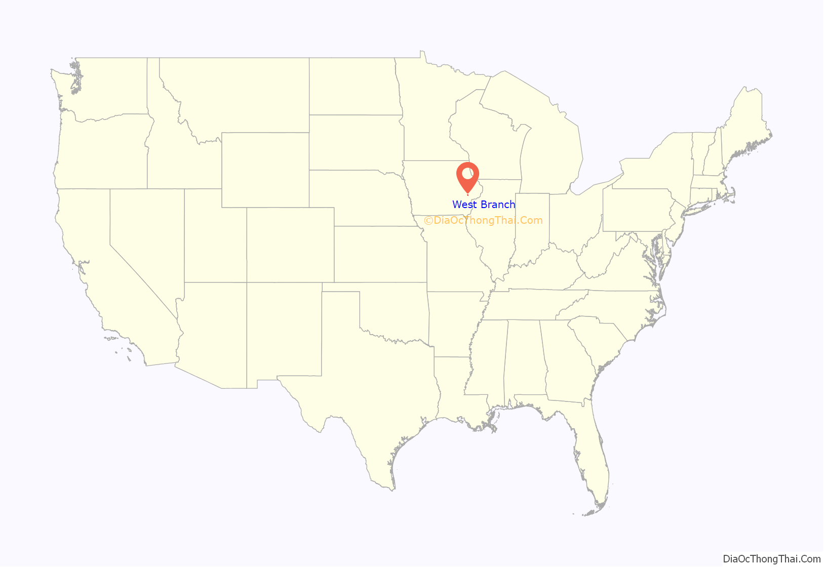
West Branch location map. Where is West Branch city?
History
West Branch was laid out in 1869 by Joseph Steer. It was incorporated in 1875.
The city was first settled chiefly by Quakers from Ohio. Its name is derived from the meeting place of the West Branch Quakers, and the location of the city on the west branch of the Wapsinonoc Creek. Most of Main Street is part of the West Branch Commercial Historic District.
Before the American Civil War, areas in and around West Branch were stops of the Underground Railroad. Abolitionist John Brown once stayed at the Maxson farm east of West Branch. He also stayed at James Townsend’s inn, the Traveler’s Rest, in the winter of 1856. In 2008, archaeologists found evidence of unmarked graves in nearby North Liberty Cemetery while investigating an account of 17 escaped slaves who died before reaching Canada.
West Branch experienced rapid growth after the Burlington, Cedar Rapids and Northern Railway was built through it.
President Herbert Hoover was born in West Branch in 1874. The Herbert Hoover Presidential Library-Museum was dedicated here by Hoover and his close friend, President Harry Truman, in 1962. The Herbert Hoover National Historic Site, which includes the Library-Museum, the Hoover Birthplace Cottage and the gravesites of President and Lou Henry Hoover, was authorized by Congress on August 12, 1965.
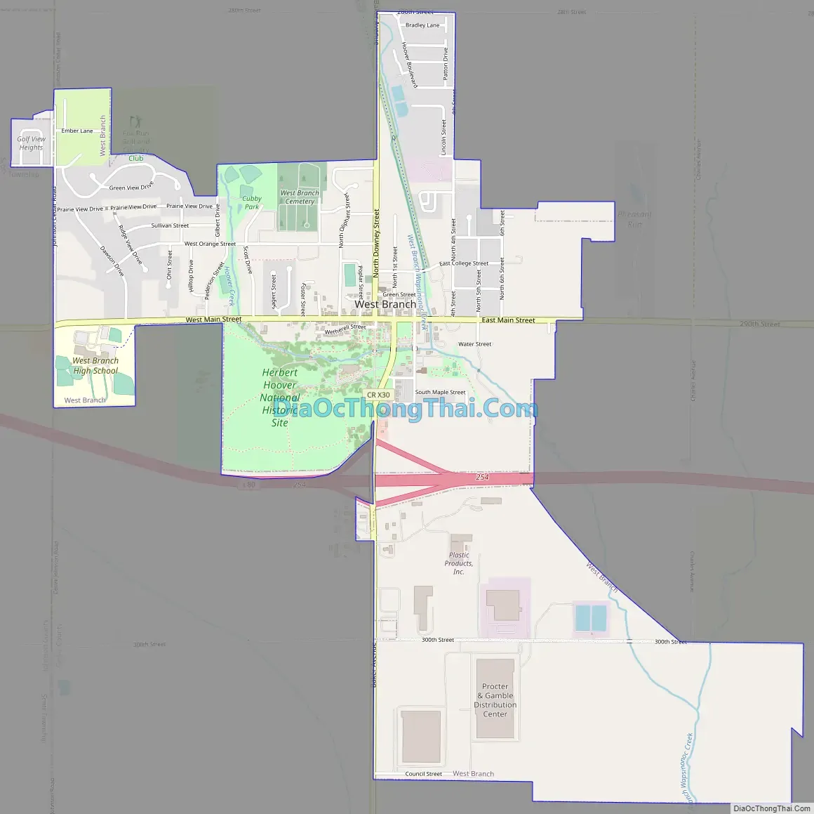
West Branch Road Map
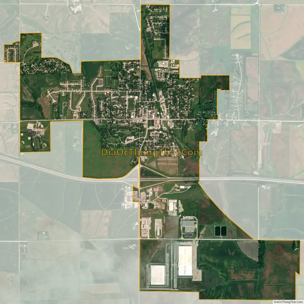
West Branch city Satellite Map
Geography
According to the United States Census Bureau, the city has a total area of 3.19 square miles (8.26 km), all land.
West Branch is located approximately 10 miles (16 km) east of Iowa City, and 40 miles (64 km) west of Davenport.
See also
Map of Iowa State and its subdivision:- Adair
- Adams
- Allamakee
- Appanoose
- Audubon
- Benton
- Black Hawk
- Boone
- Bremer
- Buchanan
- Buena Vista
- Butler
- Calhoun
- Carroll
- Cass
- Cedar
- Cerro Gordo
- Cherokee
- Chickasaw
- Clarke
- Clay
- Clayton
- Clinton
- Crawford
- Dallas
- Davis
- Decatur
- Delaware
- Des Moines
- Dickinson
- Dubuque
- Emmet
- Fayette
- Floyd
- Franklin
- Fremont
- Greene
- Grundy
- Guthrie
- Hamilton
- Hancock
- Hardin
- Harrison
- Henry
- Howard
- Humboldt
- Ida
- Iowa
- Jackson
- Jasper
- Jefferson
- Johnson
- Jones
- Keokuk
- Kossuth
- Lee
- Linn
- Louisa
- Lucas
- Lyon
- Madison
- Mahaska
- Marion
- Marshall
- Mills
- Mitchell
- Monona
- Monroe
- Montgomery
- Muscatine
- O'Brien
- Osceola
- Page
- Palo Alto
- Plymouth
- Pocahontas
- Polk
- Pottawattamie
- Poweshiek
- Ringgold
- Sac
- Scott
- Shelby
- Sioux
- Story
- Tama
- Taylor
- Union
- Van Buren
- Wapello
- Warren
- Washington
- Wayne
- Webster
- Winnebago
- Winneshiek
- Woodbury
- Worth
- Wright
- Alabama
- Alaska
- Arizona
- Arkansas
- California
- Colorado
- Connecticut
- Delaware
- District of Columbia
- Florida
- Georgia
- Hawaii
- Idaho
- Illinois
- Indiana
- Iowa
- Kansas
- Kentucky
- Louisiana
- Maine
- Maryland
- Massachusetts
- Michigan
- Minnesota
- Mississippi
- Missouri
- Montana
- Nebraska
- Nevada
- New Hampshire
- New Jersey
- New Mexico
- New York
- North Carolina
- North Dakota
- Ohio
- Oklahoma
- Oregon
- Pennsylvania
- Rhode Island
- South Carolina
- South Dakota
- Tennessee
- Texas
- Utah
- Vermont
- Virginia
- Washington
- West Virginia
- Wisconsin
- Wyoming