Woolstock is a city in Wright County, Iowa, United States. The population was 144 at the time of the 2020 census.
| Name: | Woolstock city |
|---|---|
| LSAD Code: | 25 |
| LSAD Description: | city (suffix) |
| State: | Iowa |
| County: | Wright County |
| Elevation: | 1,109 ft (338 m) |
| Total Area: | 1.05 sq mi (2.71 km²) |
| Land Area: | 1.05 sq mi (2.71 km²) |
| Water Area: | 0.00 sq mi (0.00 km²) |
| Total Population: | 144 |
| Population Density: | 137.54/sq mi (53.11/km²) |
| ZIP code: | 50599 |
| Area code: | 515 |
| FIPS code: | 1987015 |
| GNISfeature ID: | 0463204 |
Online Interactive Map
Click on ![]() to view map in "full screen" mode.
to view map in "full screen" mode.
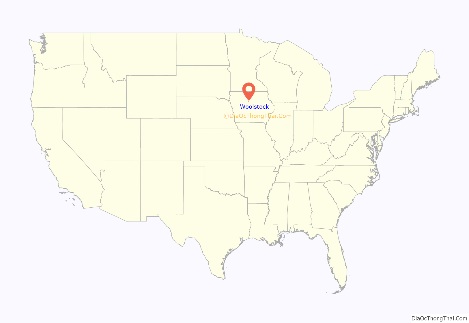
Woolstock location map. Where is Woolstock city?
History
Woolstock township was established in 1858, and its first Post Office for Woolstock was in 1868, located near the location of the Historic French Church, about 3 miles east of the town’s location today. Woolstock was relocated when platted by the Western Town Lot Company in 1881, that relocated many rural communities towards newly laid railroad lines . The name was made by Gilbert Perry because of the settlers early trade of raising sheep for wool. Woolstock is the only town in the world with its name.
Located, east of the Boone River, the Native Americans used the area for hunting, fishing, and lodging. Sauk and Fox tribes continued to use the river seasonally through the first quarter of the 20th century.
French and German Alsatian immigrants populated the area from late 1800s through 1940s. Laurent “Frenchy” and sister Renie Grandgeorge, were the last to immigrate from that area. Most who immigrated or are descendants, are laid to rest at the Historic French Church Cemetery, est. 1896. The town of Woolstock is Sister Cities with Ban de la Roche (7 mountainous villages), Alsace, France.
Most notable famous person from Woolstock was actor, veteran, and humanitarian, George Reeves, known mostly for his role as Superman/Clark Kent in the 1950s TV serial The Adventures of Superman, and its first movie feature Superman and The Molemen (1951). He starred in over 50 films and serials, including Gone with the Wind, and From Here to Eternity. He was born George Keefer Brewer in Woolstock on January 5, 1914, to Donald and Helen (Lescher) Brewer.
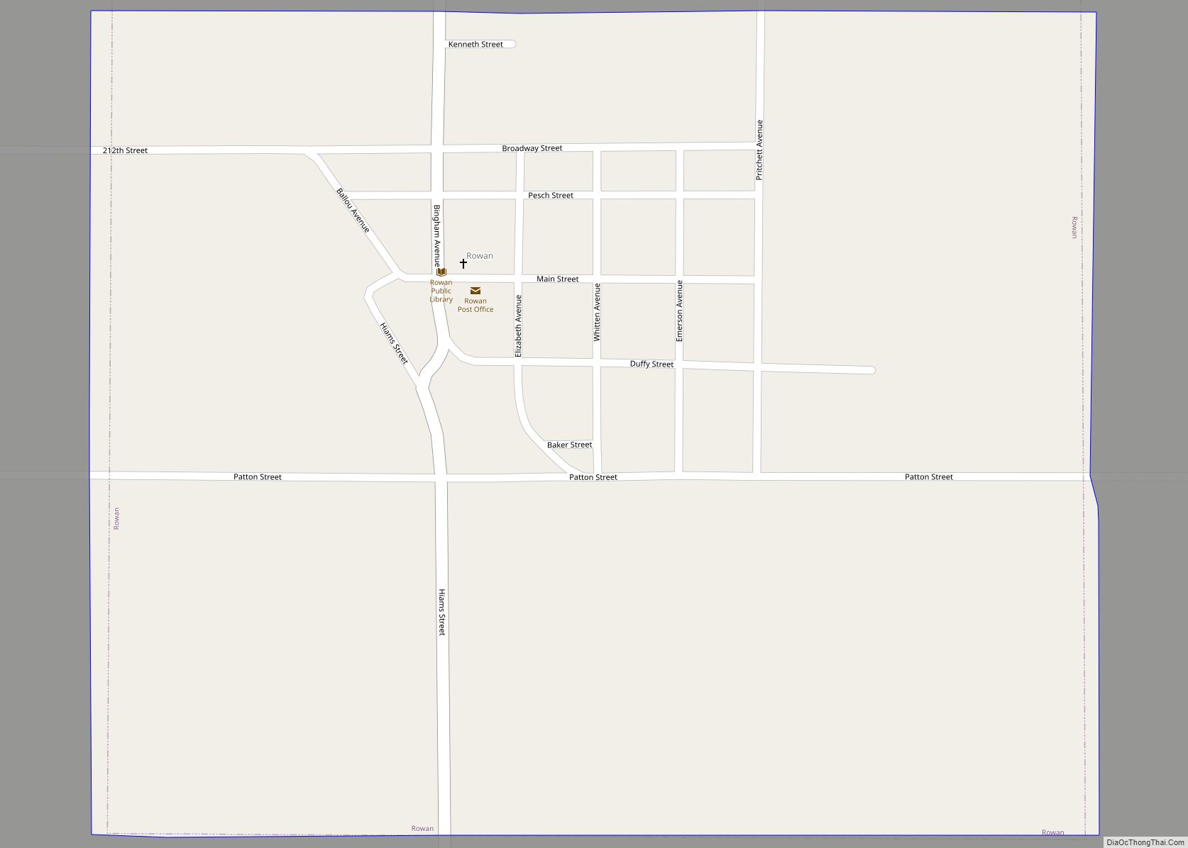
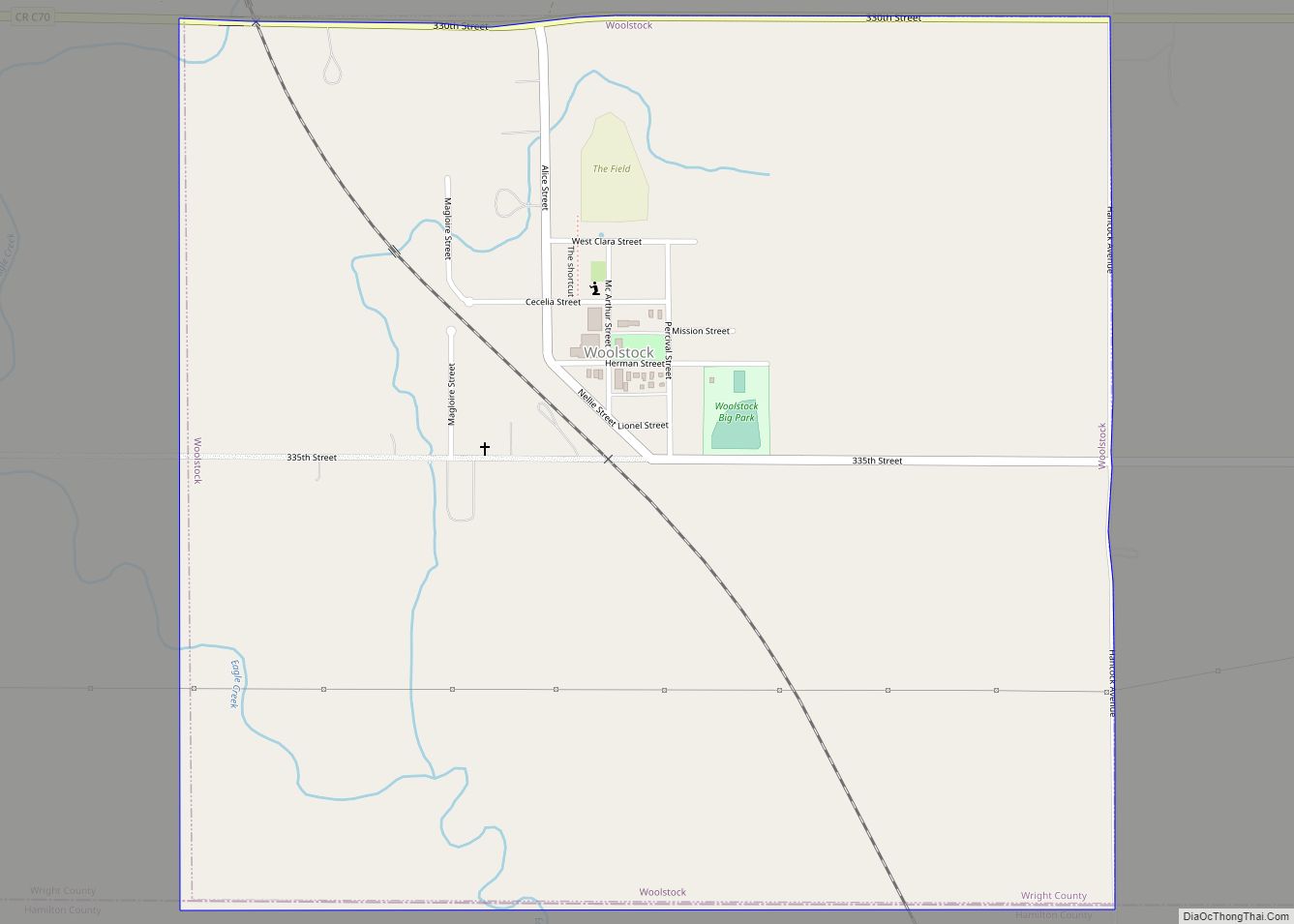
Woolstock Road Map
Woolstock city Satellite Map
Geography
Woolstock is located at 42°34′0″N 93°50′42″W / 42.56667°N 93.84500°W / 42.56667; -93.84500 (42.566730, -93.845030) just north of Eagle Creek’s confluence with the Boone River.
According to the United States Census Bureau, the city has a total area of 1.06 square miles (2.75 km), all land.
See also
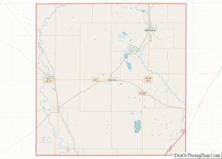
Map of Iowa State and its subdivision:- Adair
- Adams
- Allamakee
- Appanoose
- Audubon
- Benton
- Black Hawk
- Boone
- Bremer
- Buchanan
- Buena Vista
- Butler
- Calhoun
- Carroll
- Cass
- Cedar
- Cerro Gordo
- Cherokee
- Chickasaw
- Clarke
- Clay
- Clayton
- Clinton
- Crawford
- Dallas
- Davis
- Decatur
- Delaware
- Des Moines
- Dickinson
- Dubuque
- Emmet
- Fayette
- Floyd
- Franklin
- Fremont
- Greene
- Grundy
- Guthrie
- Hamilton
- Hancock
- Hardin
- Harrison
- Henry
- Howard
- Humboldt
- Ida
- Iowa
- Jackson
- Jasper
- Jefferson
- Johnson
- Jones
- Keokuk
- Kossuth
- Lee
- Linn
- Louisa
- Lucas
- Lyon
- Madison
- Mahaska
- Marion
- Marshall
- Mills
- Mitchell
- Monona
- Monroe
- Montgomery
- Muscatine
- O'Brien
- Osceola
- Page
- Palo Alto
- Plymouth
- Pocahontas
- Polk
- Pottawattamie
- Poweshiek
- Ringgold
- Sac
- Scott
- Shelby
- Sioux
- Story
- Tama
- Taylor
- Union
- Van Buren
- Wapello
- Warren
- Washington
- Wayne
- Webster
- Winnebago
- Winneshiek
- Woodbury
- Worth
- Wright
- Alabama
- Alaska
- Arizona
- Arkansas
- California
- Colorado
- Connecticut
- Delaware
- District of Columbia
- Florida
- Georgia
- Hawaii
- Idaho
- Illinois
- Indiana
- Iowa
- Kansas
- Kentucky
- Louisiana
- Maine
- Maryland
- Massachusetts
- Michigan
- Minnesota
- Mississippi
- Missouri
- Montana
- Nebraska
- Nevada
- New Hampshire
- New Jersey
- New Mexico
- New York
- North Carolina
- North Dakota
- Ohio
- Oklahoma
- Oregon
- Pennsylvania
- Rhode Island
- South Carolina
- South Dakota
- Tennessee
- Texas
- Utah
- Vermont
- Virginia
- Washington
- West Virginia
- Wisconsin
- Wyoming
