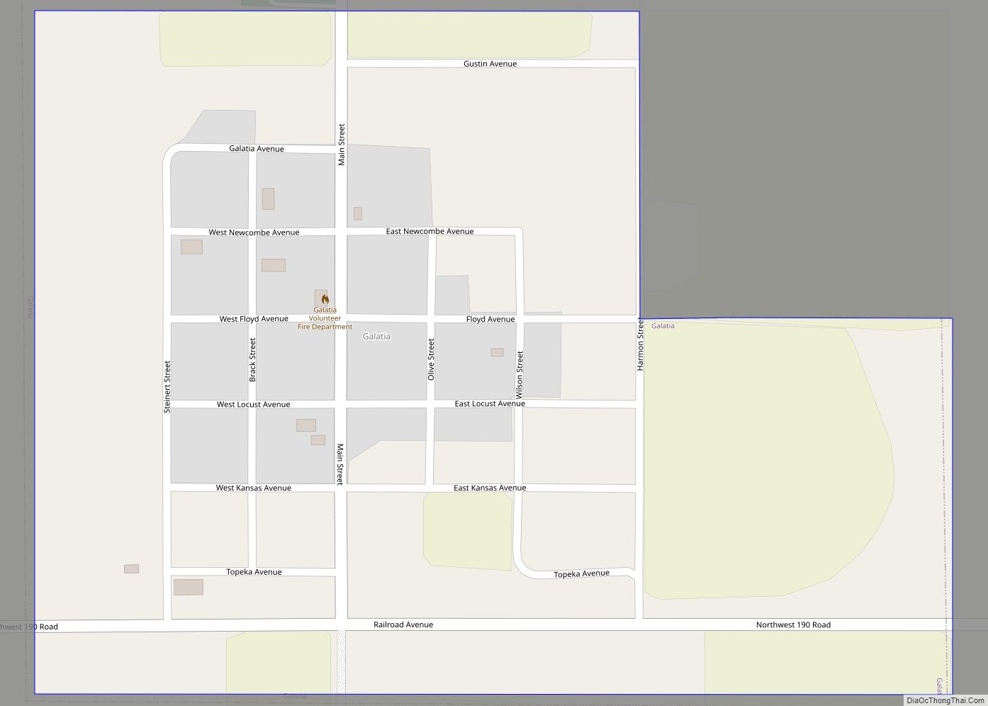
Galatia is a city in Barton County, Kansas, United States. As of the 2020 census, the population of the city was 45.
| Name: | Galatia city |
|---|---|
| LSAD Code: | 25 |
| LSAD Description: | city (suffix) |
| State: | Kansas |
| County: | Barton County |
| Founded: | 1885 |
| Incorporated: | 1921 |
| Elevation: | 1,998 ft (609 m) |
| Total Area: | 0.35 sq mi (0.92 km²) |
| Land Area: | 0.35 sq mi (0.92 km²) |
| Water Area: | 0.00 sq mi (0.00 km²) |
| Total Population: | 45 |
| Population Density: | 130/sq mi (49/km²) |
| ZIP code: | 67564 |
| Area code: | 620 |
| FIPS code: | 2025050 |
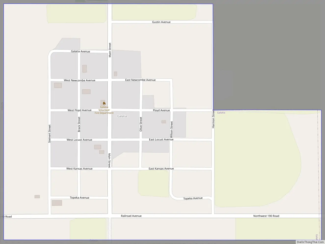
Online Interactive Map
Click on ![]() to view map in "full screen" mode.
to view map in "full screen" mode.
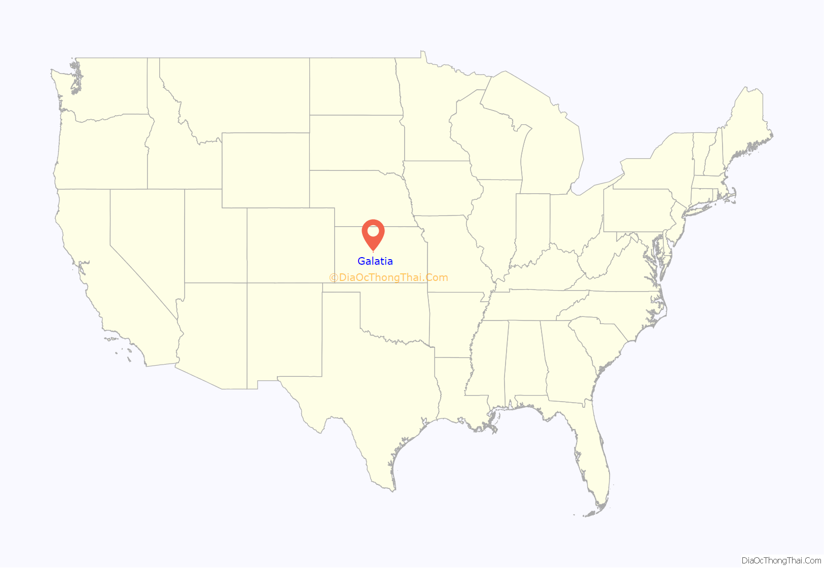
Galatia location map. Where is Galatia city?
History
Settler David C. Barrows founded the community and laid out the town site in 1885. Originally named Four Corners, settler Henry G. Weber renamed it Galatia after his hometown of Galatia, Illinois. The first building constructed was a United Brethren church. A post office was established at Galatia in 1889. The Atchison, Topeka and Santa Fe Railway extended a rail line to Galatia (from Holyrood 31.20 miles away) on July 1, 1919, and the town grew to include three grain elevators, a bank, a lumberyard, and three general stores. By 1921, the population had grown to 202. After that, however, the population began to decline. The post office closed in 1966.
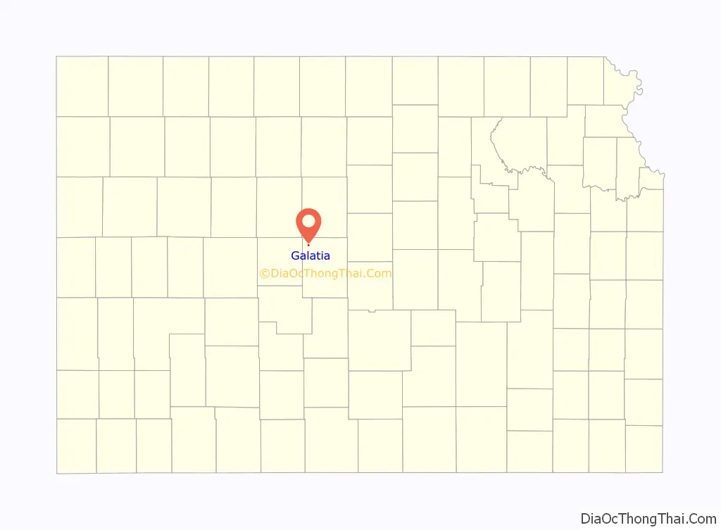
Galatia Road Map
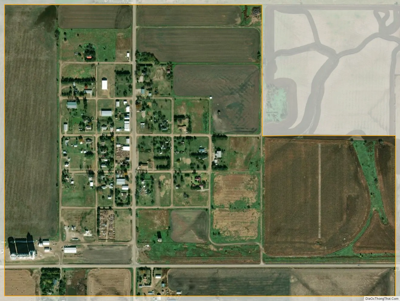
Galatia city Satellite Map
Geography
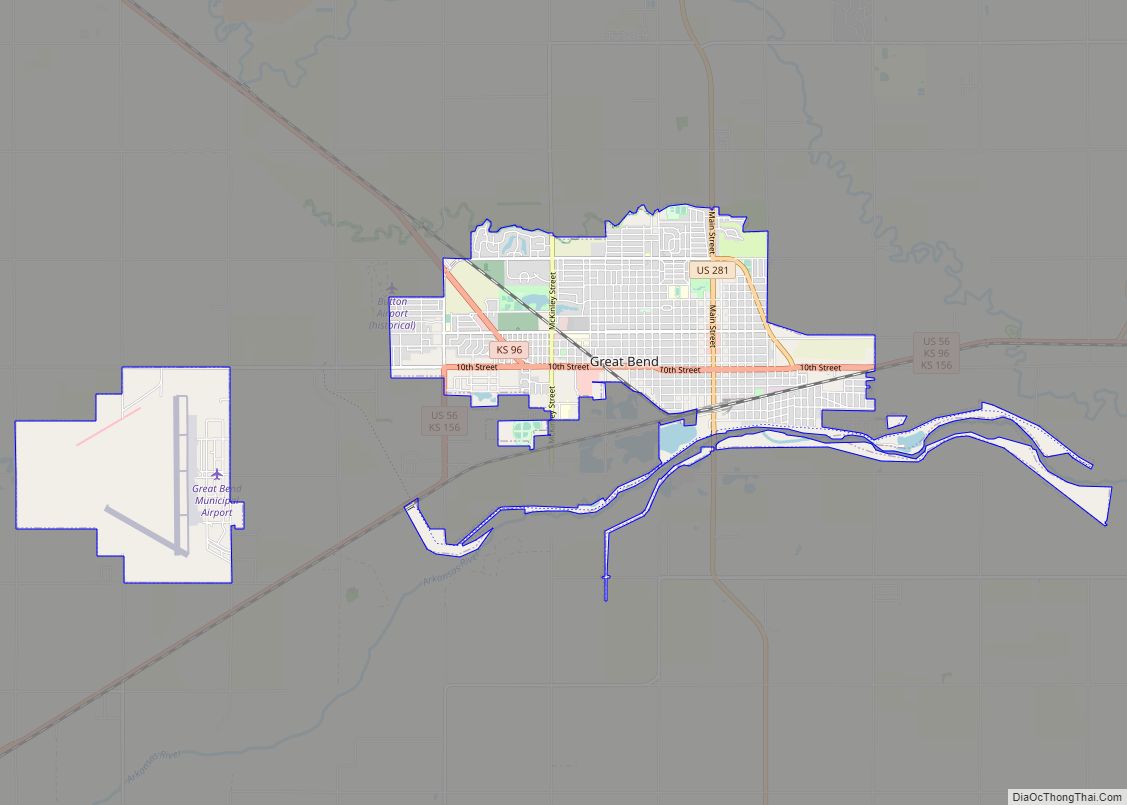
Galatia is located at 38°38′29″N 98°57′32″W / 38.64139°N 98.95889°W / 38.64139; -98.95889 (38.641414, -98.958896) at an elevation of 1,998 feet (609 m). Located in northwestern Barton County in central Kansas, Galatia is 22 miles (35 km) north-northwest of Great Bend, the county seat, 110 miles (180 km) northwest of Wichita, and 238 miles (383 km) west of Kansas City. It is 6 miles (9.7 km) west of U.S. Route 281 and 7 miles (11 km) north of Kansas Highway 4.
Galatia lies roughly 2 miles (3.2 km) west of Landon Creek, a tributary of the Smoky Hill River, in the Smoky Hills region of the Great Plains.
According to the United States Census Bureau, the city has a total area of 0.38 square miles (0.98 km), all of it land.
See also
Map of Kansas State and its subdivision:- Allen
- Anderson
- Atchison
- Barber
- Barton
- Bourbon
- Brown
- Butler
- Chase
- Chautauqua
- Cherokee
- Cheyenne
- Clark
- Clay
- Cloud
- Coffey
- Comanche
- Cowley
- Crawford
- Decatur
- Dickinson
- Doniphan
- Douglas
- Edwards
- Elk
- Ellis
- Ellsworth
- Finney
- Ford
- Franklin
- Geary
- Gove
- Graham
- Grant
- Gray
- Greeley
- Greenwood
- Hamilton
- Harper
- Harvey
- Haskell
- Hodgeman
- Jackson
- Jefferson
- Jewell
- Johnson
- Kearny
- Kingman
- Kiowa
- Labette
- Lane
- Leavenworth
- Lincoln
- Linn
- Logan
- Lyon
- Marion
- Marshall
- McPherson
- Meade
- Miami
- Mitchell
- Montgomery
- Morris
- Morton
- Nemaha
- Neosho
- Ness
- Norton
- Osage
- Osborne
- Ottawa
- Pawnee
- Phillips
- Pottawatomie
- Pratt
- Rawlins
- Reno
- Republic
- Rice
- Riley
- Rooks
- Rush
- Russell
- Saline
- Scott
- Sedgwick
- Seward
- Shawnee
- Sheridan
- Sherman
- Smith
- Stafford
- Stanton
- Stevens
- Sumner
- Thomas
- Trego
- Wabaunsee
- Wallace
- Washington
- Wichita
- Wilson
- Woodson
- Wyandotte
- Alabama
- Alaska
- Arizona
- Arkansas
- California
- Colorado
- Connecticut
- Delaware
- District of Columbia
- Florida
- Georgia
- Hawaii
- Idaho
- Illinois
- Indiana
- Iowa
- Kansas
- Kentucky
- Louisiana
- Maine
- Maryland
- Massachusetts
- Michigan
- Minnesota
- Mississippi
- Missouri
- Montana
- Nebraska
- Nevada
- New Hampshire
- New Jersey
- New Mexico
- New York
- North Carolina
- North Dakota
- Ohio
- Oklahoma
- Oregon
- Pennsylvania
- Rhode Island
- South Carolina
- South Dakota
- Tennessee
- Texas
- Utah
- Vermont
- Virginia
- Washington
- West Virginia
- Wisconsin
- Wyoming