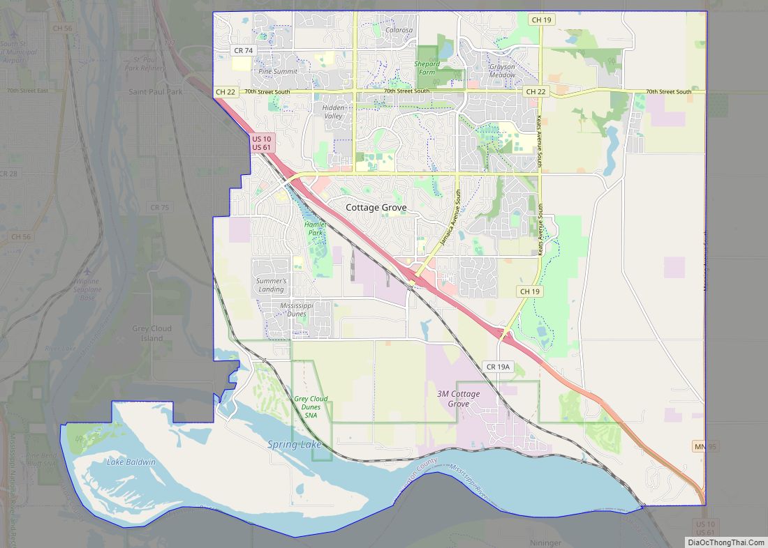
Cottage Grove is a city 10 miles (16 km) south of Saint Paul in Washington County in the State of Minnesota. It lies on the north bank of the Mississippi River, north of the confluence with the St. Croix River. Cottage Grove and nearby suburbs form the southeast portion of Minneapolis-Saint Paul, the 16th-largest metropolitan area in the United States, with about 3.69 million residents. Its population was 38,839 at the 2020 census.
The city is linked by U.S. Highways 10 and 61 and has a comfortable commute to both downtowns and the I-494 Strip in Bloomington. Once a rural township known for the state’s first creameries and wheat production, the area was served by rail lines, river shipping, and grist mills. 3M has operated a production facility in Cottage Grove since 1947.
| Name: | Cottage Grove city |
|---|---|
| LSAD Code: | 25 |
| LSAD Description: | city (suffix) |
| State: | Minnesota |
| County: | Washington County |
| Founded: | 1843 |
| Elevation: | 810 ft (250 m) |
| Land Area: | 33.64 sq mi (87.13 km²) |
| Water Area: | 3.88 sq mi (10.06 km²) 10.30% |
| Population Density: | 1,154.55/sq mi (445.77/km²) |
| ZIP code: | 55016 |
| Area code: | 651 |
| FIPS code: | 2713456 |
| GNISfeature ID: | 2393644 |
| Website: | cottagegrovemn.gov |
Online Interactive Map
Click on ![]() to view map in "full screen" mode.
to view map in "full screen" mode.
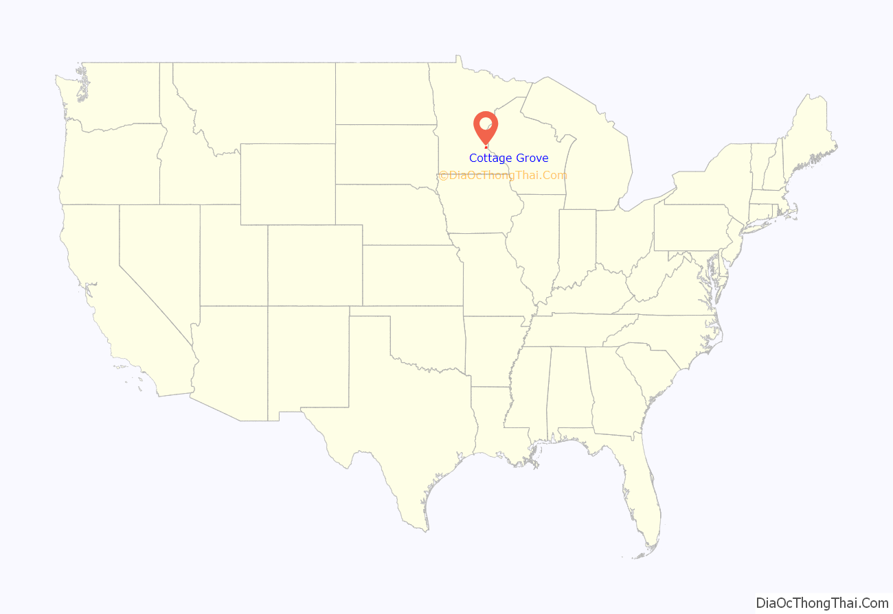
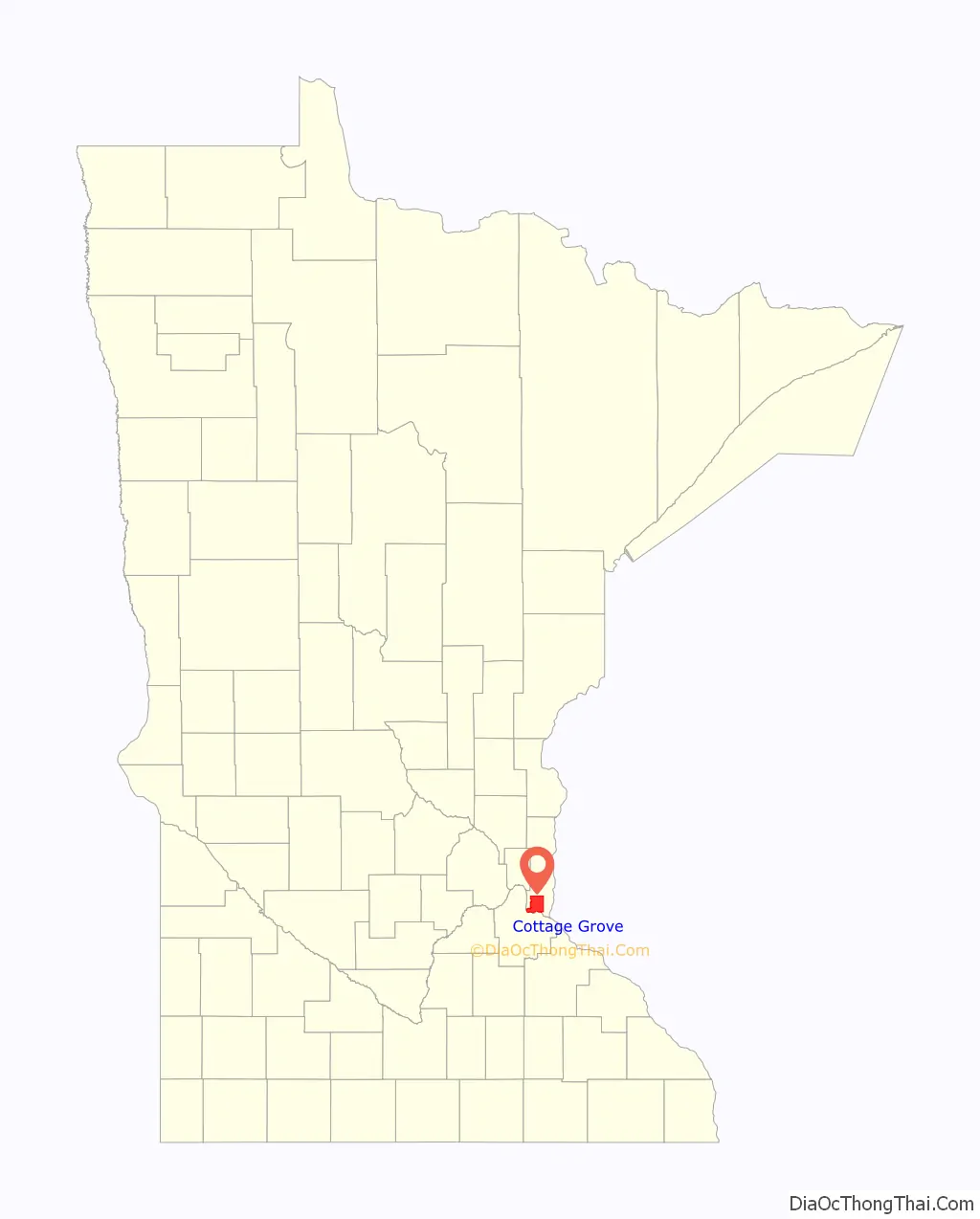
Cottage Grove location map. Where is Cottage Grove city?
History
Cottage Grove was platted in 1871. The Precolumbian Schilling Archeological District, 1850 Grey Cloud Lime Kiln, 1871 John P. Furber House, and 1917 Cordenio Severance House are listed on the National Register of Historic Places.
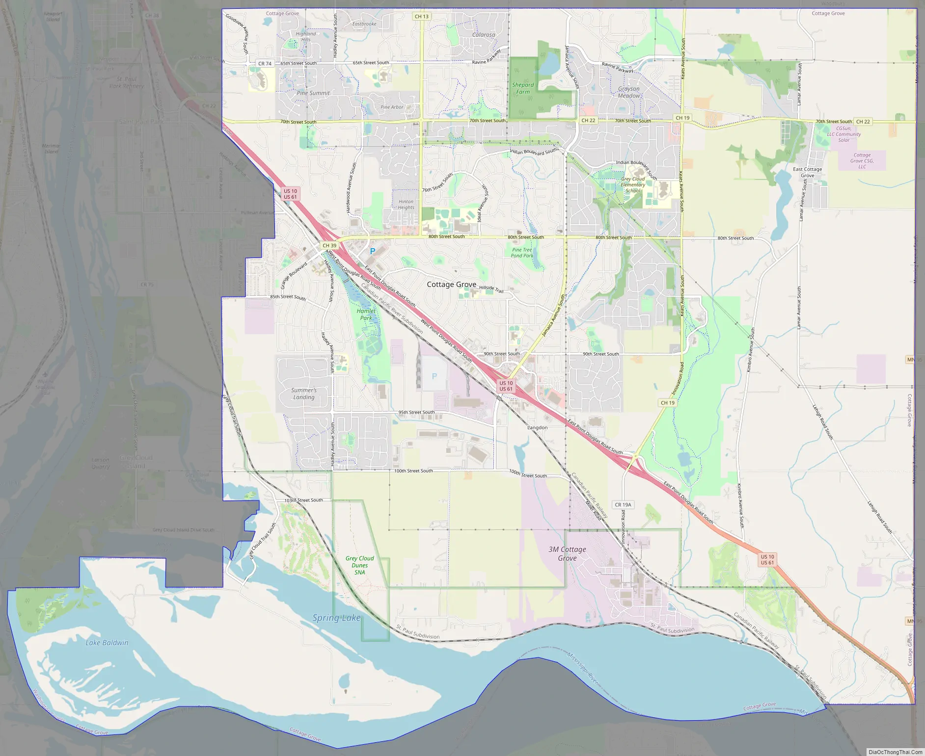
Cottage Grove Road Map
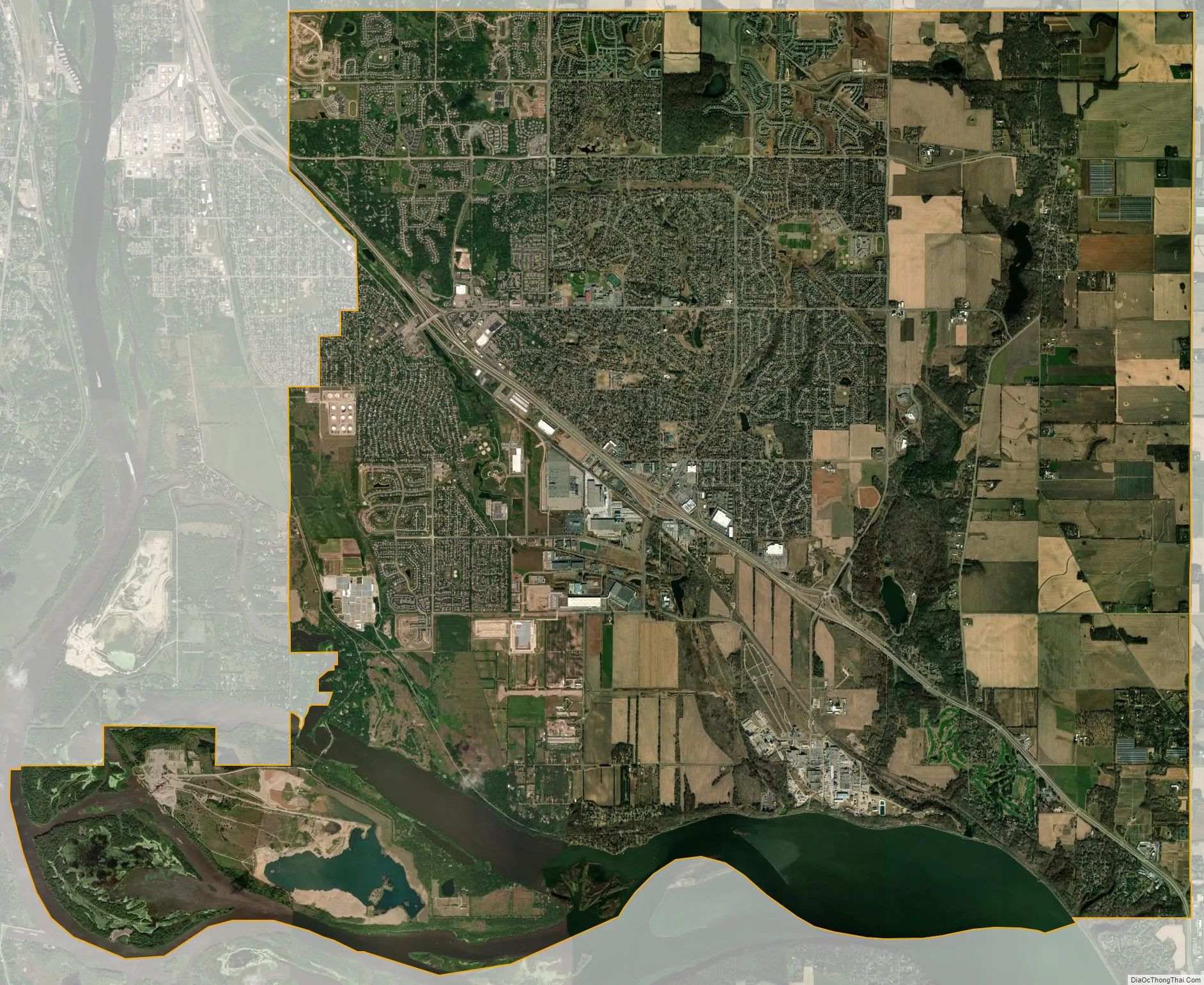
Cottage Grove city Satellite Map
Geography
Cottage Grove is 11 miles southeast of St. Paul. It is accessed by U.S. Highway 61 and Interstate 494.
According to the United States Census Bureau, the city has an area of 37.48 square miles (97.07 km); 33.62 square miles (87.08 km) is land and 3.86 square miles (10.00 km) is water.
The city has more land adjacent to the Mississippi River than any other city in Minnesota. It is bordered by Woodbury to the north, Hastings to the south, St. Paul Park to the west, Newport to the northwest, and Denmark Township to the east. The city is approximately half an hour at posted speeds from the Minneapolis-St. Paul International Airport. Southeastern Cottage Grove is five miles from the Wisconsin border.
See also
Map of Minnesota State and its subdivision:- Aitkin
- Anoka
- Becker
- Beltrami
- Benton
- Big Stone
- Blue Earth
- Brown
- Carlton
- Carver
- Cass
- Chippewa
- Chisago
- Clay
- Clearwater
- Cook
- Cottonwood
- Crow Wing
- Dakota
- Dodge
- Douglas
- Faribault
- Fillmore
- Freeborn
- Goodhue
- Grant
- Hennepin
- Houston
- Hubbard
- Isanti
- Itasca
- Jackson
- Kanabec
- Kandiyohi
- Kittson
- Koochiching
- Lac qui Parle
- Lake
- Lake of the Woods
- Lake Superior
- Le Sueur
- Lincoln
- Lyon
- Mahnomen
- Marshall
- Martin
- McLeod
- Meeker
- Mille Lacs
- Morrison
- Mower
- Murray
- Nicollet
- Nobles
- Norman
- Olmsted
- Otter Tail
- Pennington
- Pine
- Pipestone
- Polk
- Pope
- Ramsey
- Red Lake
- Redwood
- Renville
- Rice
- Rock
- Roseau
- Saint Louis
- Scott
- Sherburne
- Sibley
- Stearns
- Steele
- Stevens
- Swift
- Todd
- Traverse
- Wabasha
- Wadena
- Waseca
- Washington
- Watonwan
- Wilkin
- Winona
- Wright
- Yellow Medicine
- Alabama
- Alaska
- Arizona
- Arkansas
- California
- Colorado
- Connecticut
- Delaware
- District of Columbia
- Florida
- Georgia
- Hawaii
- Idaho
- Illinois
- Indiana
- Iowa
- Kansas
- Kentucky
- Louisiana
- Maine
- Maryland
- Massachusetts
- Michigan
- Minnesota
- Mississippi
- Missouri
- Montana
- Nebraska
- Nevada
- New Hampshire
- New Jersey
- New Mexico
- New York
- North Carolina
- North Dakota
- Ohio
- Oklahoma
- Oregon
- Pennsylvania
- Rhode Island
- South Carolina
- South Dakota
- Tennessee
- Texas
- Utah
- Vermont
- Virginia
- Washington
- West Virginia
- Wisconsin
- Wyoming