Delano (/ˈdɛləˌnoʊ/ DEH-lə-NOH) is a city in Wright County, Minnesota, United States. The population was 6,484 at the 2020 census. The city is known for its small-town feel. It is in the outskirts of the Twin Cities Metropolitan Statistical Area.
| Name: | Delano city |
|---|---|
| LSAD Code: | 25 |
| LSAD Description: | city (suffix) |
| State: | Minnesota |
| County: | Wright County |
| Elevation: | 922 ft (281 m) |
| Total Area: | 4.43 sq mi (11.47 km²) |
| Land Area: | 4.43 sq mi (11.47 km²) |
| Water Area: | 0.00 sq mi (0.00 km²) |
| Total Population: | 6,484 |
| Population Density: | 1,464.32/sq mi (565.42/km²) |
| ZIP code: | 55328 |
| Area code: | 763 |
| FIPS code: | 2715454 |
| GNISfeature ID: | 0642749 |
| Website: | www.delano.mn.us |
Online Interactive Map
Click on ![]() to view map in "full screen" mode.
to view map in "full screen" mode.
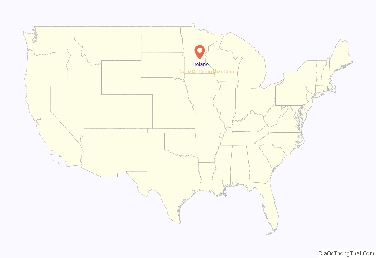
Delano location map. Where is Delano city?
History
Delano was platted in 1868, and named after Francis Roach Delano, a railroad official. A post office has been in operation at Delano since 1870. Delano was incorporated in 1876. Three buildings in the town are on the National Register of Historic Places: the 1880s Eagle Newspaper Office, the 1888 Delano Village Hall, and the 1893 Simon Weldele House.
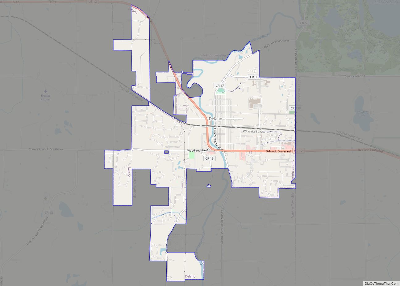
Delano Road Map
Delano city Satellite Map
Geography
According to the United States Census Bureau, the city has an area of 4.43 square miles (11.47 km), all land. U.S. Highway 12 serves as a main route in the community. Other routes include County Roads 6 and 11 (from Minneapolis), 16, 17, and 30.
Delano is located at 45.04 degrees north, 93.78 degrees west, along the South Fork of the Crow River. The ZIP code is 55328.
Climate
According to the Köppen Climate Classification system, Delano has a hot-summer humid continental climate, abbreviated “Dfa” on climate maps. The hottest temperature recorded in Delano was 104 °F (40.0 °C) on July 31, 1988, while the coldest temperature recorded was −37 °F (−38.3 °C) on February 2, 1996.
See also
Map of Minnesota State and its subdivision:- Aitkin
- Anoka
- Becker
- Beltrami
- Benton
- Big Stone
- Blue Earth
- Brown
- Carlton
- Carver
- Cass
- Chippewa
- Chisago
- Clay
- Clearwater
- Cook
- Cottonwood
- Crow Wing
- Dakota
- Dodge
- Douglas
- Faribault
- Fillmore
- Freeborn
- Goodhue
- Grant
- Hennepin
- Houston
- Hubbard
- Isanti
- Itasca
- Jackson
- Kanabec
- Kandiyohi
- Kittson
- Koochiching
- Lac qui Parle
- Lake
- Lake of the Woods
- Lake Superior
- Le Sueur
- Lincoln
- Lyon
- Mahnomen
- Marshall
- Martin
- McLeod
- Meeker
- Mille Lacs
- Morrison
- Mower
- Murray
- Nicollet
- Nobles
- Norman
- Olmsted
- Otter Tail
- Pennington
- Pine
- Pipestone
- Polk
- Pope
- Ramsey
- Red Lake
- Redwood
- Renville
- Rice
- Rock
- Roseau
- Saint Louis
- Scott
- Sherburne
- Sibley
- Stearns
- Steele
- Stevens
- Swift
- Todd
- Traverse
- Wabasha
- Wadena
- Waseca
- Washington
- Watonwan
- Wilkin
- Winona
- Wright
- Yellow Medicine
- Alabama
- Alaska
- Arizona
- Arkansas
- California
- Colorado
- Connecticut
- Delaware
- District of Columbia
- Florida
- Georgia
- Hawaii
- Idaho
- Illinois
- Indiana
- Iowa
- Kansas
- Kentucky
- Louisiana
- Maine
- Maryland
- Massachusetts
- Michigan
- Minnesota
- Mississippi
- Missouri
- Montana
- Nebraska
- Nevada
- New Hampshire
- New Jersey
- New Mexico
- New York
- North Carolina
- North Dakota
- Ohio
- Oklahoma
- Oregon
- Pennsylvania
- Rhode Island
- South Carolina
- South Dakota
- Tennessee
- Texas
- Utah
- Vermont
- Virginia
- Washington
- West Virginia
- Wisconsin
- Wyoming
