New Brighton (/njuː ˈbraɪtən/ NEW BRY-tən) is a city in Ramsey County, Minnesota, United States. It is a suburb of the Twin Cities. The population was 23,454 at the 2020 census.
| Name: | New Brighton city |
|---|---|
| LSAD Code: | 25 |
| LSAD Description: | city (suffix) |
| State: | Minnesota |
| County: | Ramsey County |
| Incorporated: | January 20, 1891 |
| Elevation: | 879 ft (268 m) |
| Total Area: | 7.09 sq mi (18.35 km²) |
| Land Area: | 6.50 sq mi (16.82 km²) |
| Water Area: | 0.59 sq mi (1.53 km²) |
| Total Population: | 23,454 |
| Population Density: | 3,611.09/sq mi (1,394.35/km²) |
| ZIP code: | 55112 |
| Area code: | 651 |
| FIPS code: | 2745430 |
| GNISfeature ID: | 0648506 |
| Website: | newbrightonmn.gov |
Online Interactive Map
Click on ![]() to view map in "full screen" mode.
to view map in "full screen" mode.
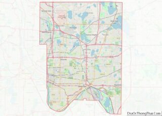
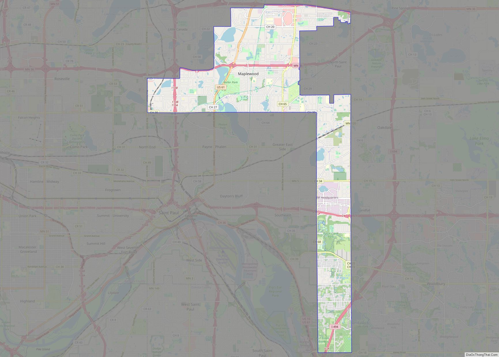
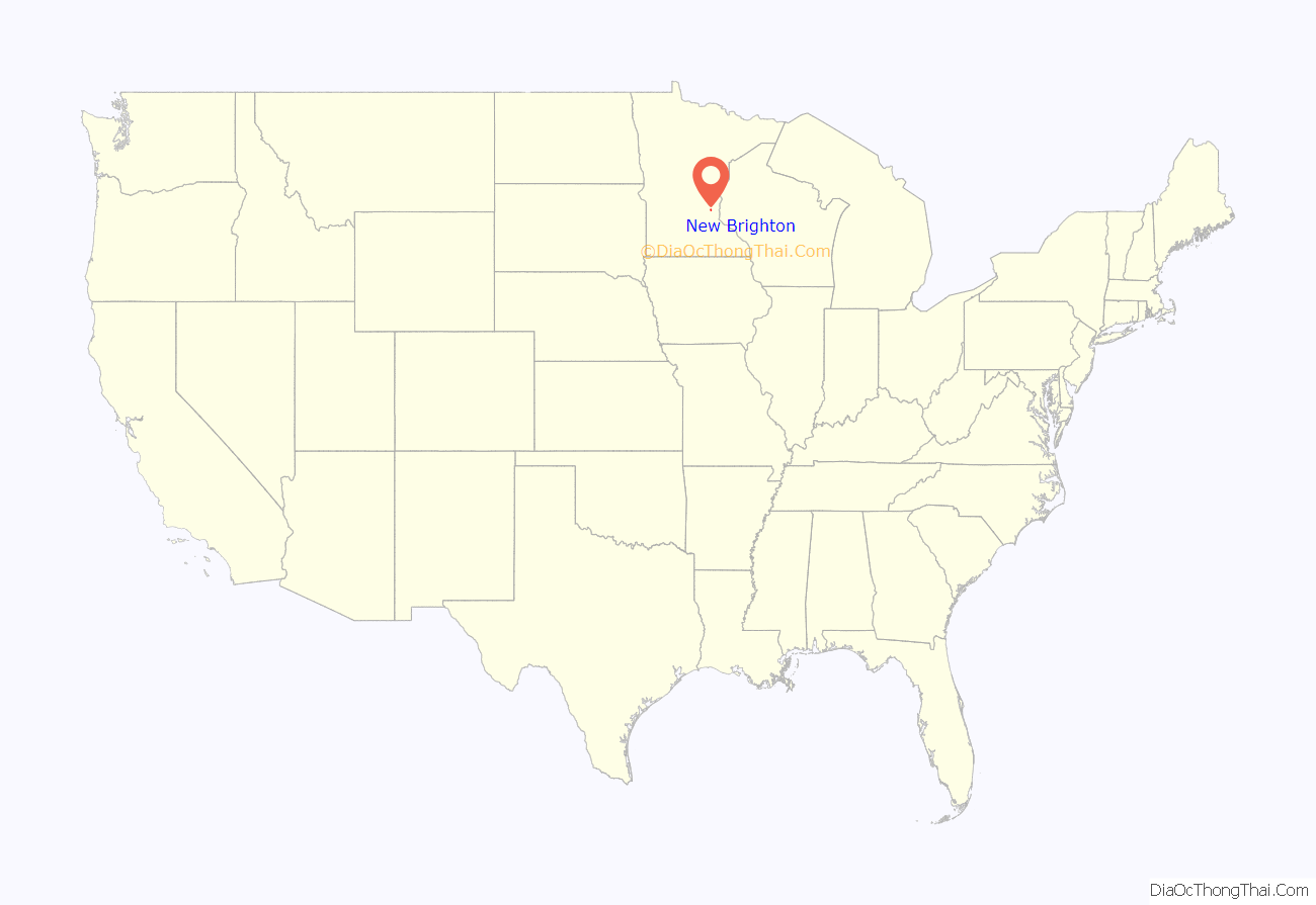
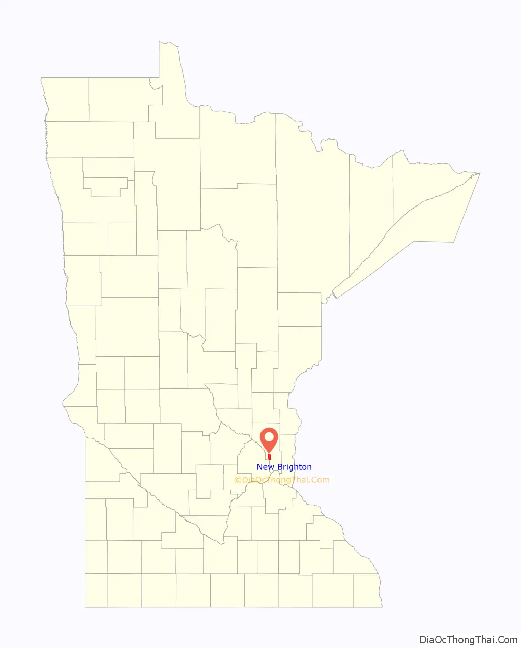
New Brighton location map. Where is New Brighton city?
History
In the mid 18th century, Mdewakanton Dakota tribes lived in the vicinity of New Brighton’s marshy lakes, harvesting wild rice. The Dakota eventually settled a village near Long Lake at Rice Creek and a smaller encampment just east of Silver Lake Road on 3rd Street NW. Immigrants from Britain and France settled a small village in 1858 that included a general store, a school, and a mission church. As railroads were established in the area, millers in Minneapolis formed the Minneapolis Stockyards and Packing Company in 1888. The company supplied home, agriculture, and business needs. The venture included Minneapolis figures such as streetcar magnate Thomas Lowry, flour millers John Sargent Pillsbury, Senator William D. Washburn, ex-Minneapolis Mayor W.H. Eustis, and industrialist W.H. Dunwoody. As the village grew in prominence, it was incorporated on January 20, 1891. The city was given the name Brighton after Brighton, Massachusetts. The founding population was primarily English-American. Each August, a city festival, Stockyard Days, celebrates this heritage at Long Lake Park.
As the streetcar system expanded in the early 20th century, immigrant and first-generation groups from Eastern Europe and Germany began moving outward from Northeast Minneapolis. New Brighton and St. Anthony residents also continue to celebrate this ethnic heritage with an annual Polka Dance Party which began in 1892.
In the 1920s, a local farmer said he heard a rumor that bootleggers had buried gold bars along Long Lake’s eastern shore. The rumor spread and launched a mini “gold rush” along Long Lake to find the treasure.
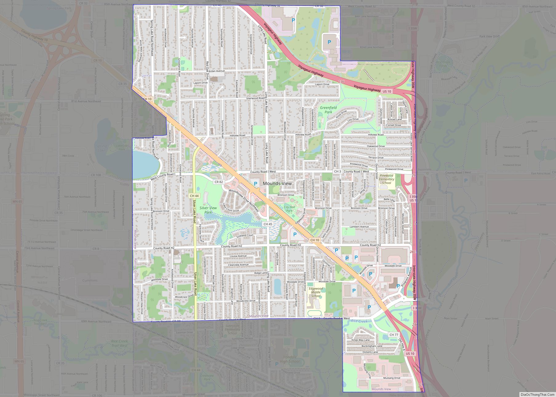
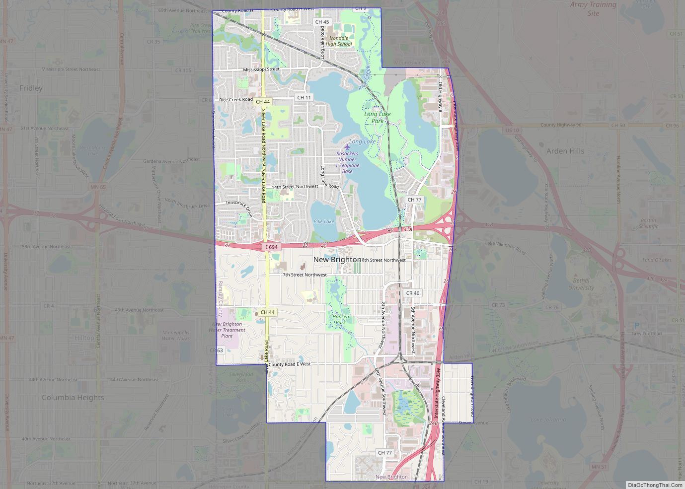
New Brighton Road Map
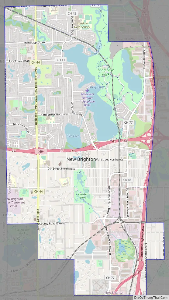
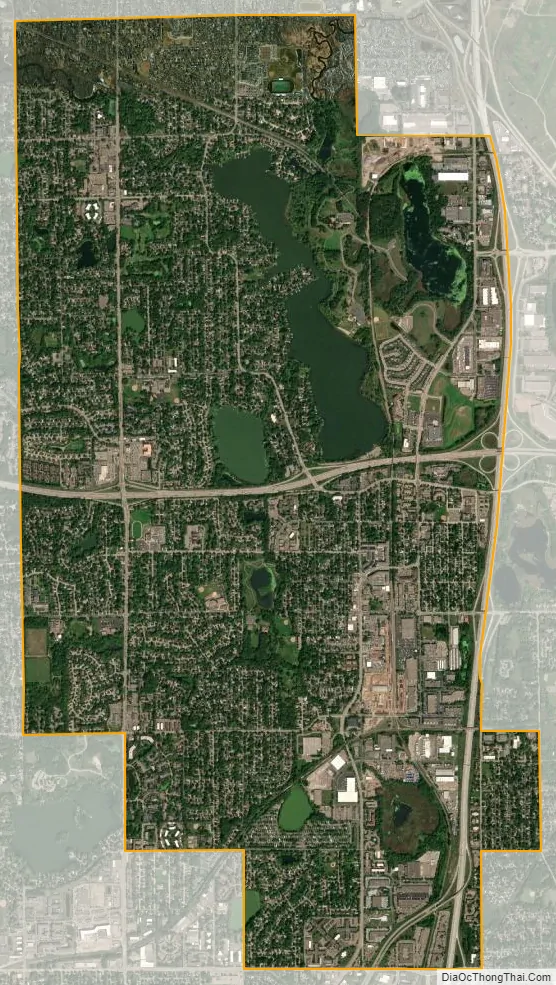
New Brighton city Satellite Map
Geography
According to the United States Census Bureau, the city has an area of 7.06 square miles (18.29 km), of which 6.46 square miles (16.73 km) is land and 0.60 square miles (1.55 km) is water. Rice Creek flows through the northern part of the city.
New Brighton is at the intersection of Interstate Highways 35W and 694. It is geographically incongruent. From north to south it is not even, and east to west it is even in only a few places. A piece of the city sits on the east side of Interstate 35W isolated from the rest of the city.
Nearby places include Arden Hills, Shoreview, Roseville, Saint Anthony Village, Columbia Heights, Fridley, Mounds View, and Minneapolis.
New Brighton is part of east–central Minnesota’s glacial plain sandpile, which was flattened by glaciers during the most recent glacial advance. During the last glacial period, massive ice sheets at least 0.62 miles (1 km) thick ravaged the landscape of the town and sculpted its current terrain, which can be easily seen in Long Lake Regional Park. The Wisconsin glaciation left 12,000 years ago. These glaciers covered all of Minnesota except the far southeast, an area characterized by steep hills and streams that cut into the bedrock. Since New Brighton’s landscape is still recovering from the weight of the glaciers and going through post-glacial rebound and the turmoil this created, the landscape is poorly drained, which has created the numerous lakes and rivers in the city. Long Lake itself is the remnants of the glaciers, as it was a chunk of ice that was left behind, melted, and created the lake in the hole it occupied.
See also
Map of Minnesota State and its subdivision:- Aitkin
- Anoka
- Becker
- Beltrami
- Benton
- Big Stone
- Blue Earth
- Brown
- Carlton
- Carver
- Cass
- Chippewa
- Chisago
- Clay
- Clearwater
- Cook
- Cottonwood
- Crow Wing
- Dakota
- Dodge
- Douglas
- Faribault
- Fillmore
- Freeborn
- Goodhue
- Grant
- Hennepin
- Houston
- Hubbard
- Isanti
- Itasca
- Jackson
- Kanabec
- Kandiyohi
- Kittson
- Koochiching
- Lac qui Parle
- Lake
- Lake of the Woods
- Lake Superior
- Le Sueur
- Lincoln
- Lyon
- Mahnomen
- Marshall
- Martin
- McLeod
- Meeker
- Mille Lacs
- Morrison
- Mower
- Murray
- Nicollet
- Nobles
- Norman
- Olmsted
- Otter Tail
- Pennington
- Pine
- Pipestone
- Polk
- Pope
- Ramsey
- Red Lake
- Redwood
- Renville
- Rice
- Rock
- Roseau
- Saint Louis
- Scott
- Sherburne
- Sibley
- Stearns
- Steele
- Stevens
- Swift
- Todd
- Traverse
- Wabasha
- Wadena
- Waseca
- Washington
- Watonwan
- Wilkin
- Winona
- Wright
- Yellow Medicine
- Alabama
- Alaska
- Arizona
- Arkansas
- California
- Colorado
- Connecticut
- Delaware
- District of Columbia
- Florida
- Georgia
- Hawaii
- Idaho
- Illinois
- Indiana
- Iowa
- Kansas
- Kentucky
- Louisiana
- Maine
- Maryland
- Massachusetts
- Michigan
- Minnesota
- Mississippi
- Missouri
- Montana
- Nebraska
- Nevada
- New Hampshire
- New Jersey
- New Mexico
- New York
- North Carolina
- North Dakota
- Ohio
- Oklahoma
- Oregon
- Pennsylvania
- Rhode Island
- South Carolina
- South Dakota
- Tennessee
- Texas
- Utah
- Vermont
- Virginia
- Washington
- West Virginia
- Wisconsin
- Wyoming