Fertile (/ˈfɜːrtɪl/ FUR-til) is a city in Polk County, Minnesota, United States. It is part of the Grand Forks ND–MN Metropolitan Statistical Area. The population was 804 at the 2020 census.
The annual Polk County Fair is held in Fertile and dates to 1900. This is Fertile’s main attraction during the summer. It holds many competitions for crops, animals, and manmade items.
| Name: | Fertile city |
|---|---|
| LSAD Code: | 25 |
| LSAD Description: | city (suffix) |
| State: | Minnesota |
| County: | Polk County |
| Elevation: | 1,138 ft (347 m) |
| Total Area: | 2.08 sq mi (5.38 km²) |
| Land Area: | 2.08 sq mi (5.38 km²) |
| Water Area: | 0.00 sq mi (0.00 km²) |
| Total Population: | 804 |
| Population Density: | 387.28/sq mi (149.53/km²) |
| ZIP code: | 56540 |
| Area code: | 218 |
| FIPS code: | 2720978 |
| GNISfeature ID: | 0643615 |
| Website: | cityoffertile.org |
Online Interactive Map
Click on ![]() to view map in "full screen" mode.
to view map in "full screen" mode.
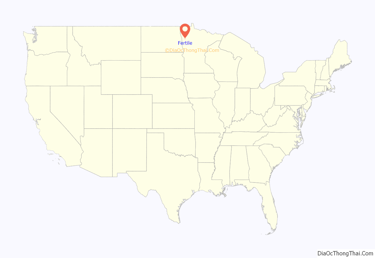
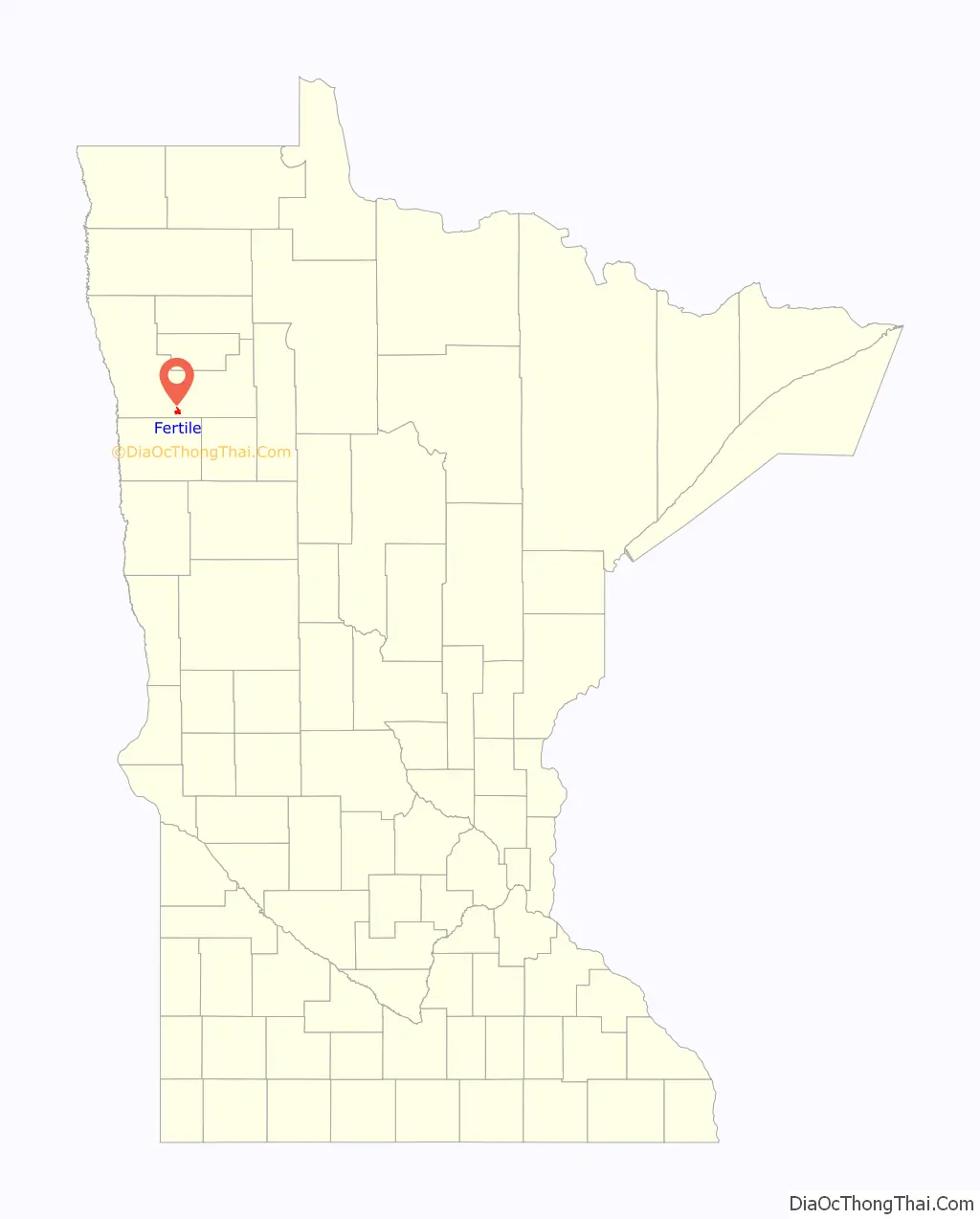
Fertile location map. Where is Fertile city?
History
A post office called Fertile has been in operation since 1881. The city was named after Fertile, Iowa, the former home of a share of the first settlers.
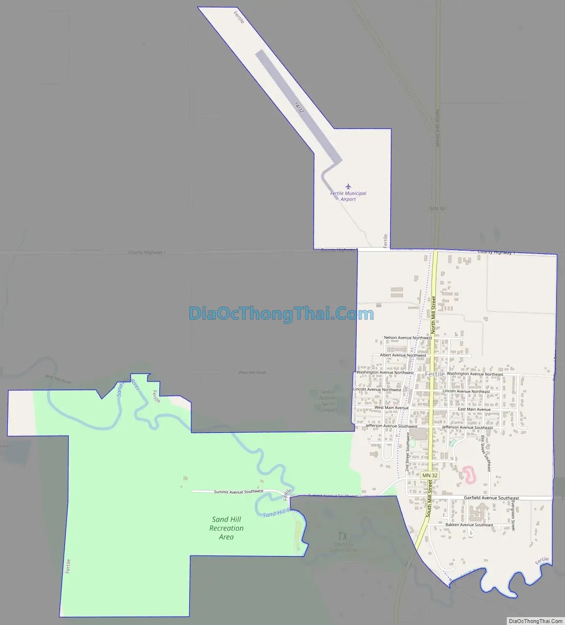
Fertile Road Map
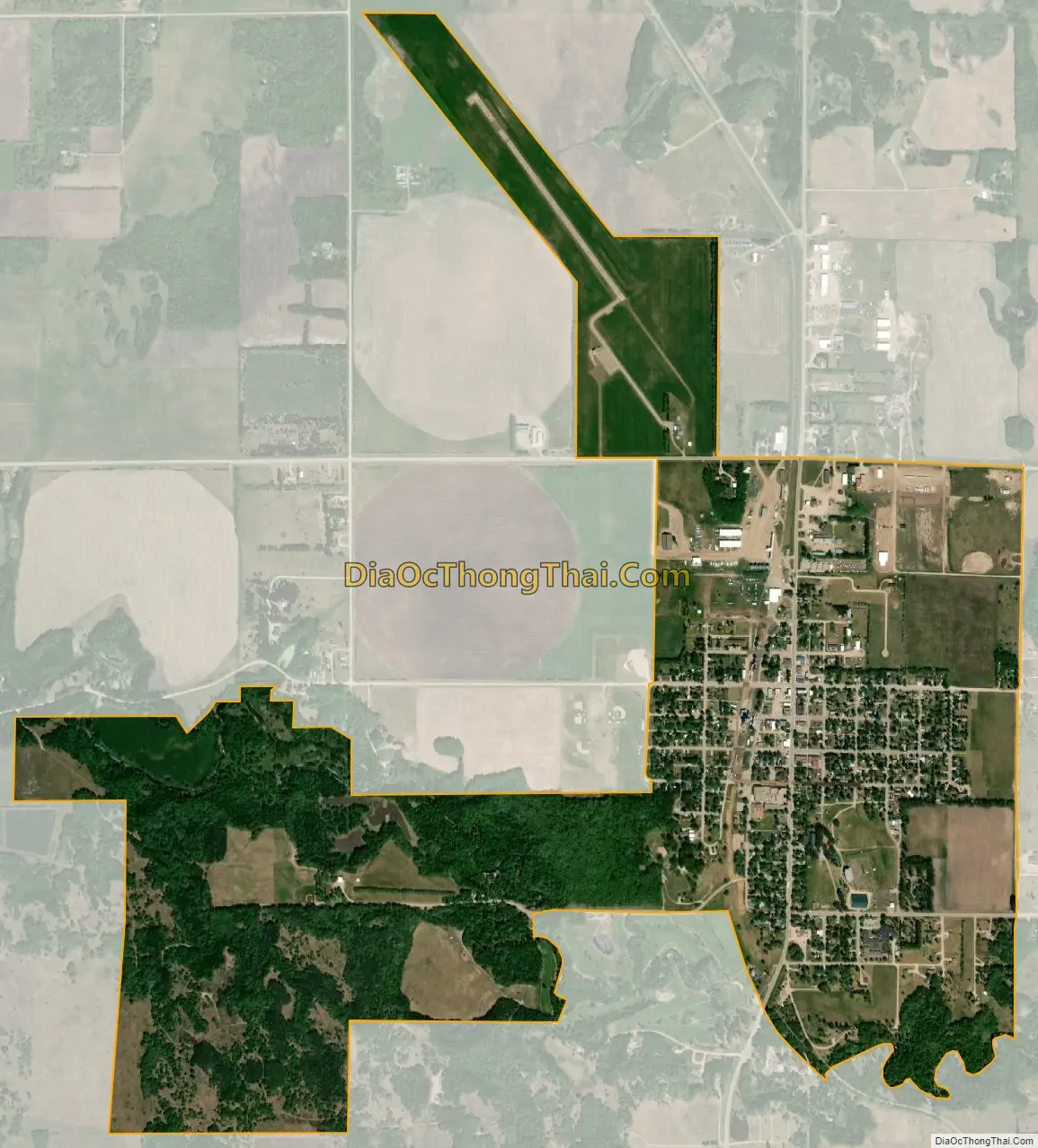
Fertile city Satellite Map
Geography
According to the United States Census Bureau, the city has an area of 2.13 square miles (5.52 km), all land. The area east, south, and southwest of Fertile is hilly while the area north and west is very flat and good for agriculture.
Fertile is home to the Fertile Sand Hills, sand dunes left behind by the ancient Lake Agassiz, which host several rare plants and insects. Lake Agassiz existed mostly in what is now Canada. The Fertile Sand Hills are Minnesota’s only such dune field. Parts of the Sand Hills are protected in the Agassiz Dunes Scientific and Natural Area and the Fertile Sand Hills Wilderness Sanctuary and West Mill Recreation Area.
Minnesota State Highways 32 and Minnesota Highway 102 are two of the community’s main routes. The Agassiz Recreational Trail, a 53-mile multi-use trail built on an abandoned railroad grade, passes through the city.
The city has a climate typical of a humid continental climate, with long, cold winters and warm, humid summers. The town averages 24 inches (610 mm) of rain and roughly 45 inches (1,100 mm) of snow each year. The record low is −46 °F (−43 °C) and the record high is 105 °F (41 °C). Because Fertile is near North America’s geographic center, it experiences many types of weather.
See also
Map of Minnesota State and its subdivision:- Aitkin
- Anoka
- Becker
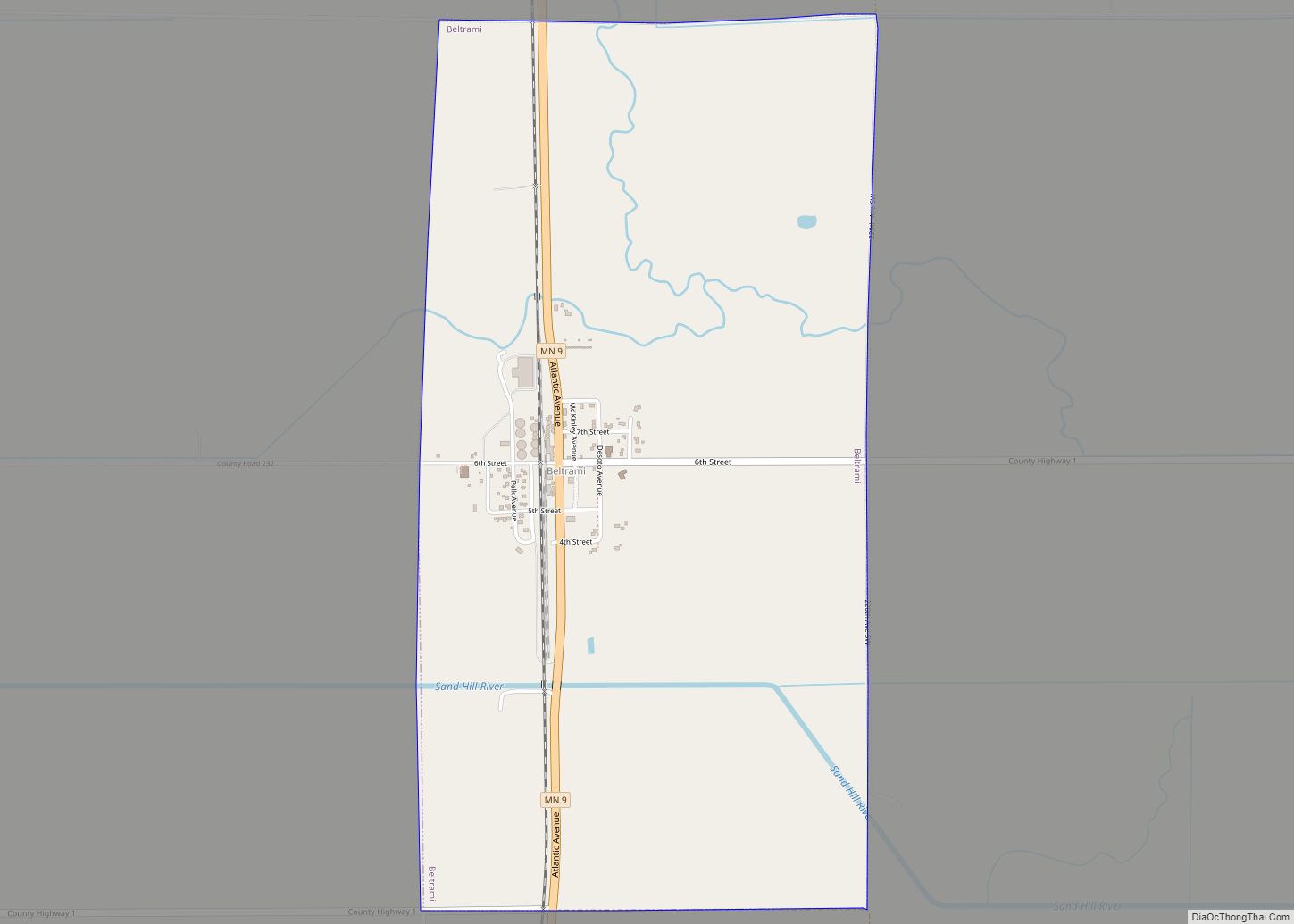
- Beltrami
- Benton
- Big Stone
- Blue Earth
- Brown
- Carlton
- Carver
- Cass
- Chippewa
- Chisago
- Clay
- Clearwater
- Cook
- Cottonwood
- Crow Wing
- Dakota
- Dodge
- Douglas
- Faribault
- Fillmore
- Freeborn
- Goodhue
- Grant
- Hennepin
- Houston
- Hubbard
- Isanti
- Itasca
- Jackson
- Kanabec
- Kandiyohi
- Kittson
- Koochiching
- Lac qui Parle
- Lake
- Lake of the Woods
- Lake Superior
- Le Sueur
- Lincoln
- Lyon
- Mahnomen
- Marshall
- Martin
- McLeod
- Meeker
- Mille Lacs
- Morrison
- Mower
- Murray
- Nicollet
- Nobles
- Norman
- Olmsted
- Otter Tail
- Pennington
- Pine
- Pipestone
- Polk
- Pope
- Ramsey
- Red Lake
- Redwood
- Renville
- Rice
- Rock
- Roseau
- Saint Louis
- Scott
- Sherburne
- Sibley
- Stearns
- Steele
- Stevens
- Swift
- Todd
- Traverse
- Wabasha
- Wadena
- Waseca
- Washington
- Watonwan
- Wilkin
- Winona
- Wright
- Yellow Medicine
- Alabama
- Alaska
- Arizona
- Arkansas
- California
- Colorado
- Connecticut
- Delaware
- District of Columbia
- Florida
- Georgia
- Hawaii
- Idaho
- Illinois
- Indiana
- Iowa
- Kansas
- Kentucky
- Louisiana
- Maine
- Maryland
- Massachusetts
- Michigan
- Minnesota
- Mississippi
- Missouri
- Montana
- Nebraska
- Nevada
- New Hampshire
- New Jersey
- New Mexico
- New York
- North Carolina
- North Dakota
- Ohio
- Oklahoma
- Oregon
- Pennsylvania
- Rhode Island
- South Carolina
- South Dakota
- Tennessee
- Texas
- Utah
- Vermont
- Virginia
- Washington
- West Virginia
- Wisconsin
- Wyoming