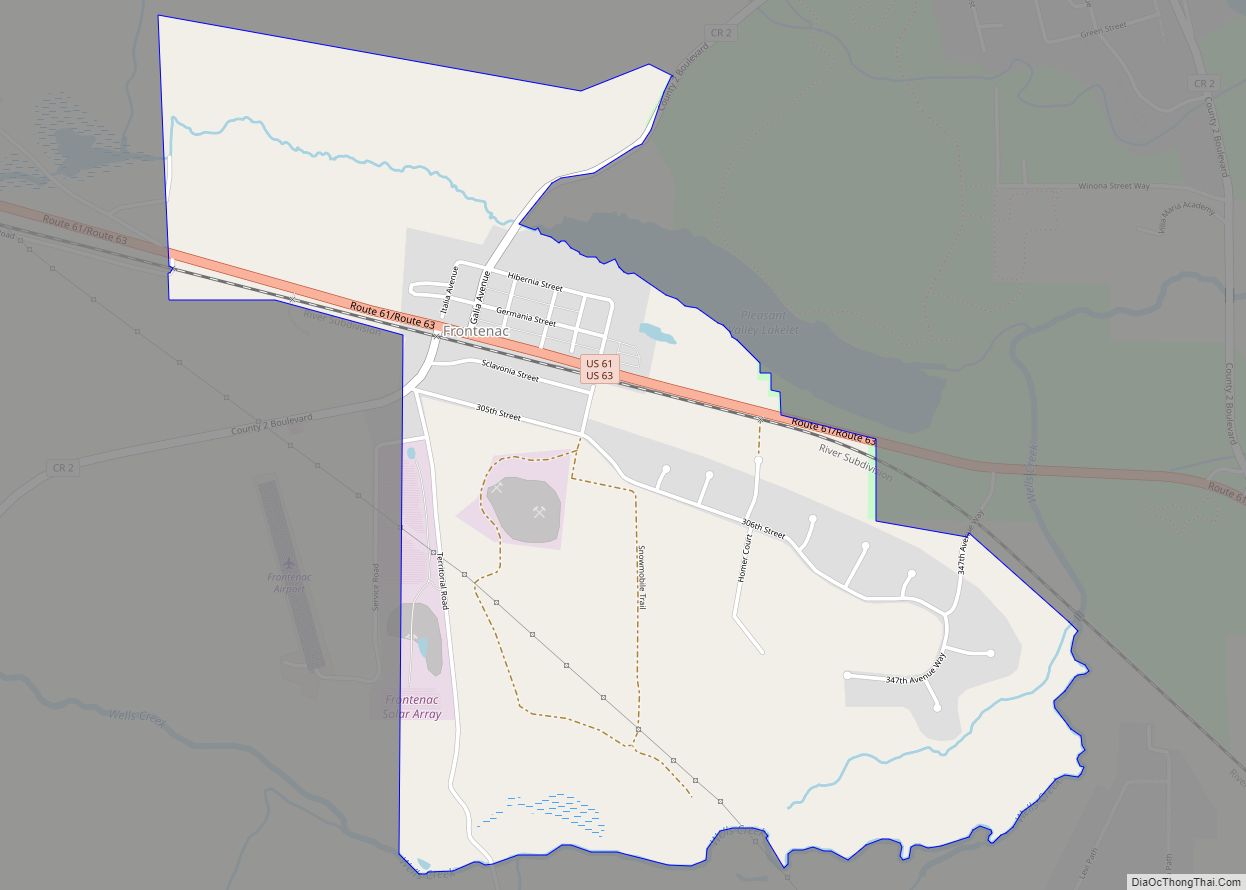
| Name: | Frontenac CDP |
|---|---|
| LSAD Code: | 57 |
| LSAD Description: | CDP (suffix) |
| State: | Minnesota |
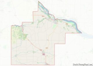
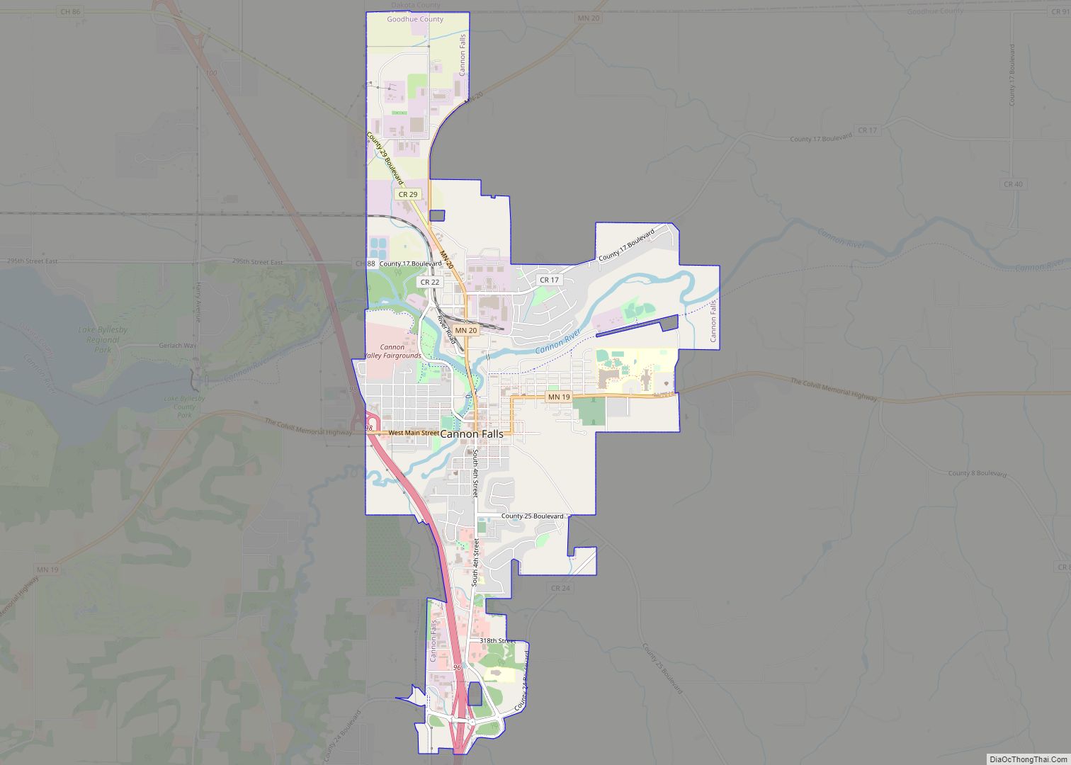
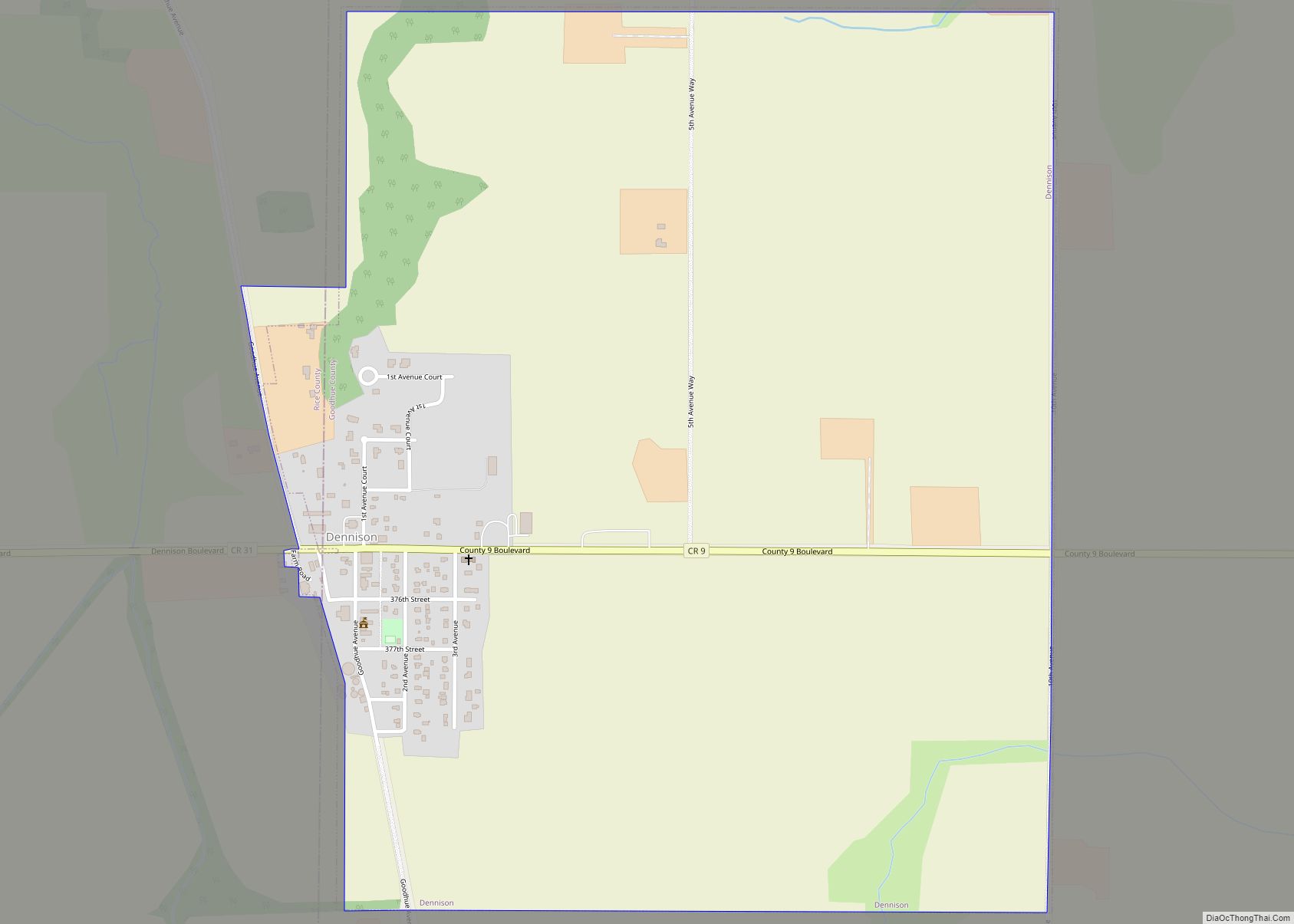
| County: | Goodhue County |
| Elevation: | 720 ft (220 m) |
| Total Area: | 1.85 sq mi (4.78 km²) |
| Land Area: | 1.84 sq mi (4.78 km²) |
| Water Area: | 0.00 sq mi (0.01 km²) |
| Total Population: | 249 |
| Population Density: | 135.03/sq mi (52.14/km²) |
| ZIP code: | 55026 |
| Area code: | 651 |
| FIPS code: | 2722904 |
| GNISfeature ID: | 643972 |
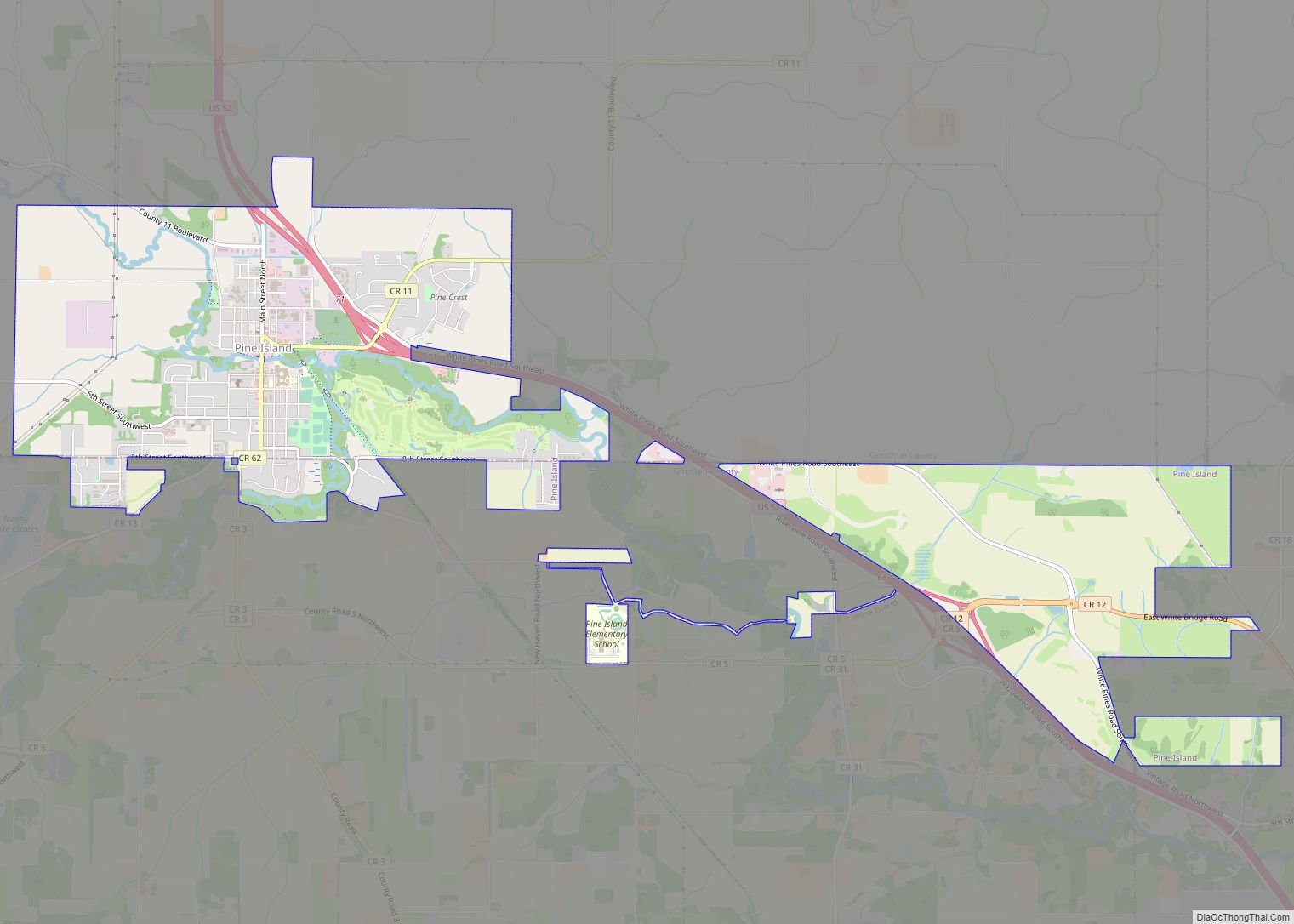
Online Interactive Map
Click on ![]() to view map in "full screen" mode.
to view map in "full screen" mode.
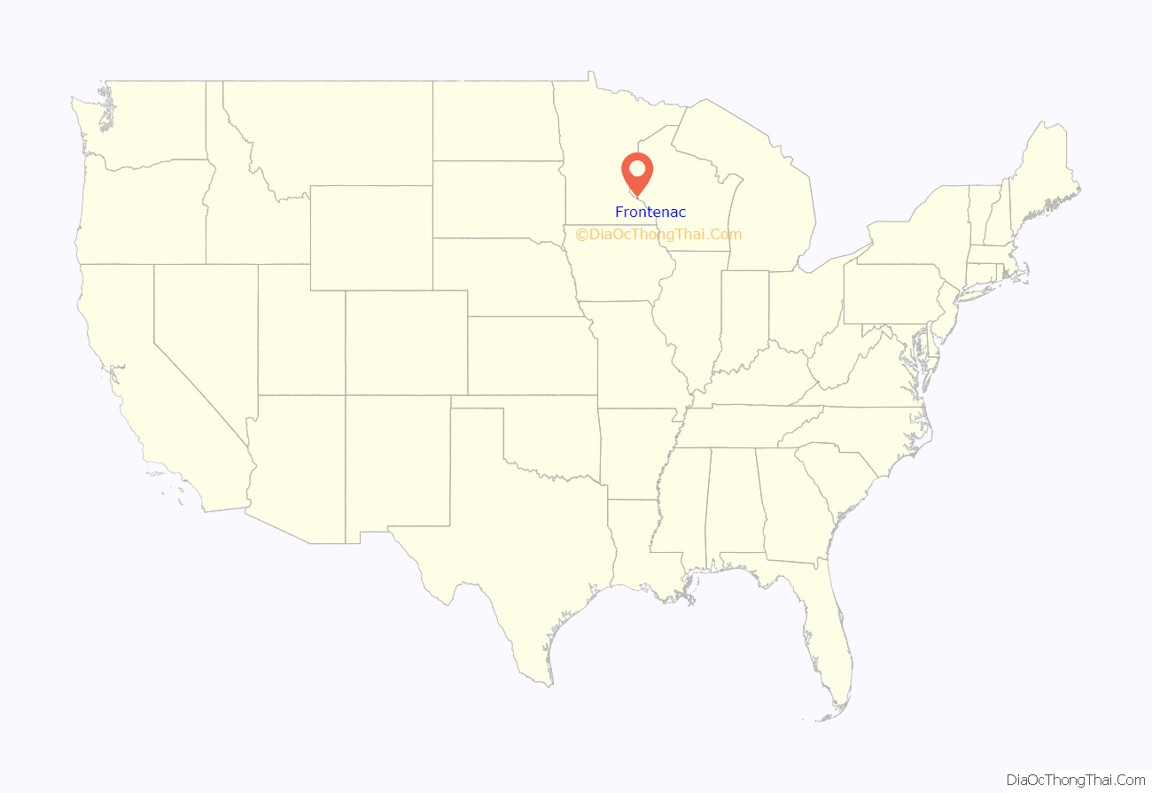
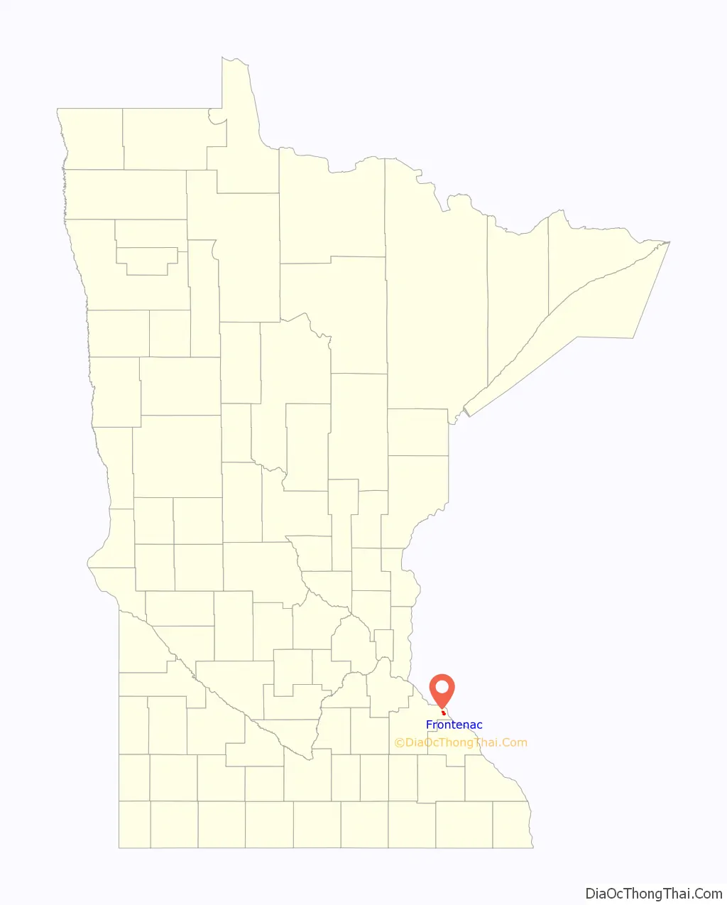
Frontenac location map. Where is Frontenac CDP?
History
James Wells established a trading post in the location that would become Frontenac before 1850. He dealt mostly with Native Americans until the railroad was built in the early 1870s. In 1854, the Garrard brothers came upon the area during a hunting trip and bought large tracts of land. By 1857, the community was permanently established with the name of Westervelt in 1855 to honor the then postmaster, Evert V. Westervelt.
The name was changed to Frontenac in 1860 by the Garrard brothers after Frenchman, Louis de Buade de Frontenac, who was born in 1622. He was the French colonial governor of Canada in 1672–82 and 1689–98. He died in Quebec, Canada on November 28, 1698. There is not a record of him actually traveling to the Mississippi River.
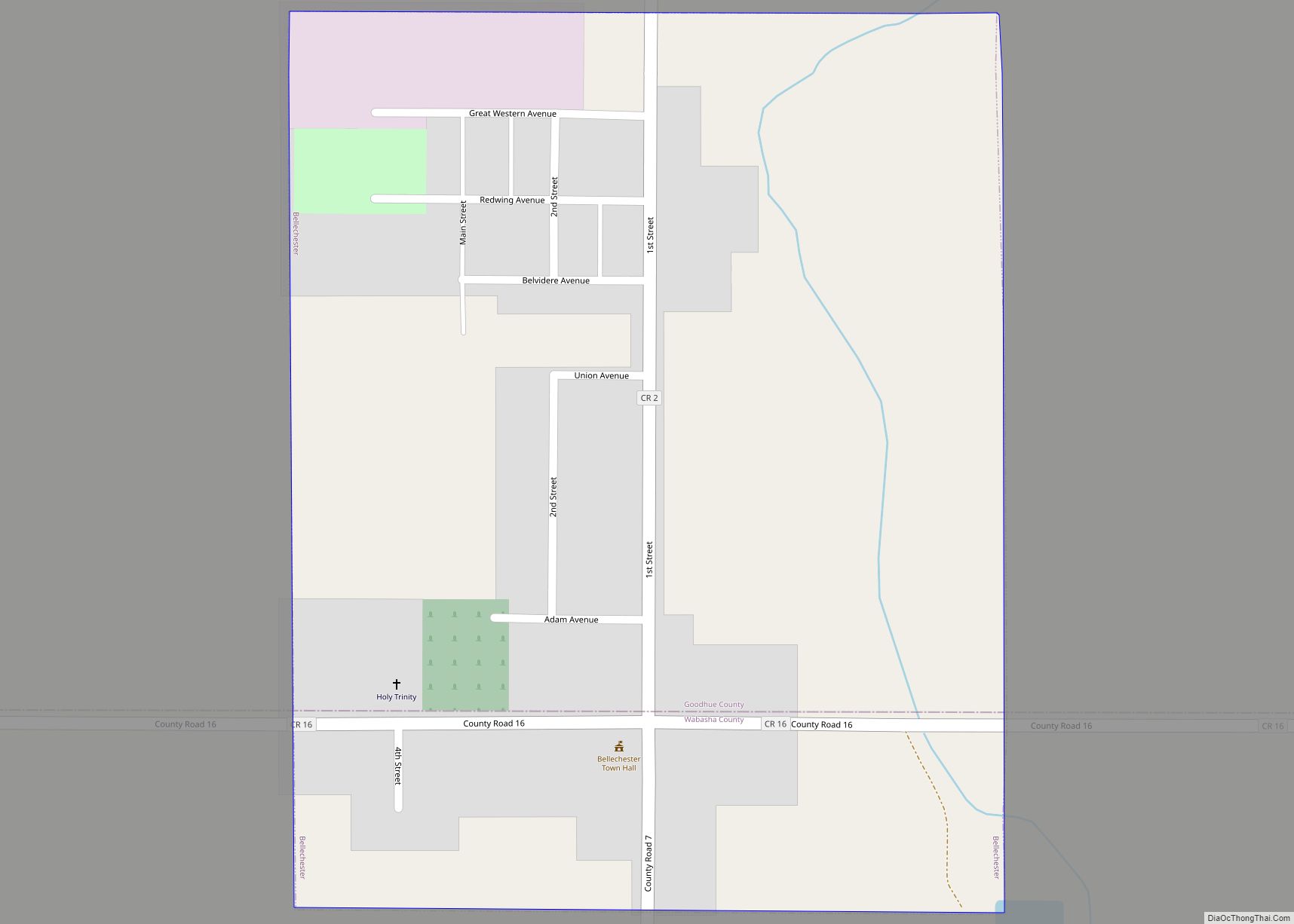
Frontenac housed a station of the Chicago, Milwaukee, St. Paul and Pacific Railroad and the picturesque scenery soon began attracting wealthy residents. It became a community of summer homes with lakeside views. The railway line outside the community ran from north to south, connected the remote area with larger cities, but it was far enough away from the bluffs not to detract from the vacation destination. There are actually two communities that comprise Frontenac. The railway line attracted some residents, while the bluffs attracted others. The houses along the railway line, and later the highway, became known as Frontenac Station while the bluff residences are called Old Frontenac. Both are in Florence Township and are listed as one location in the U.S. Census.
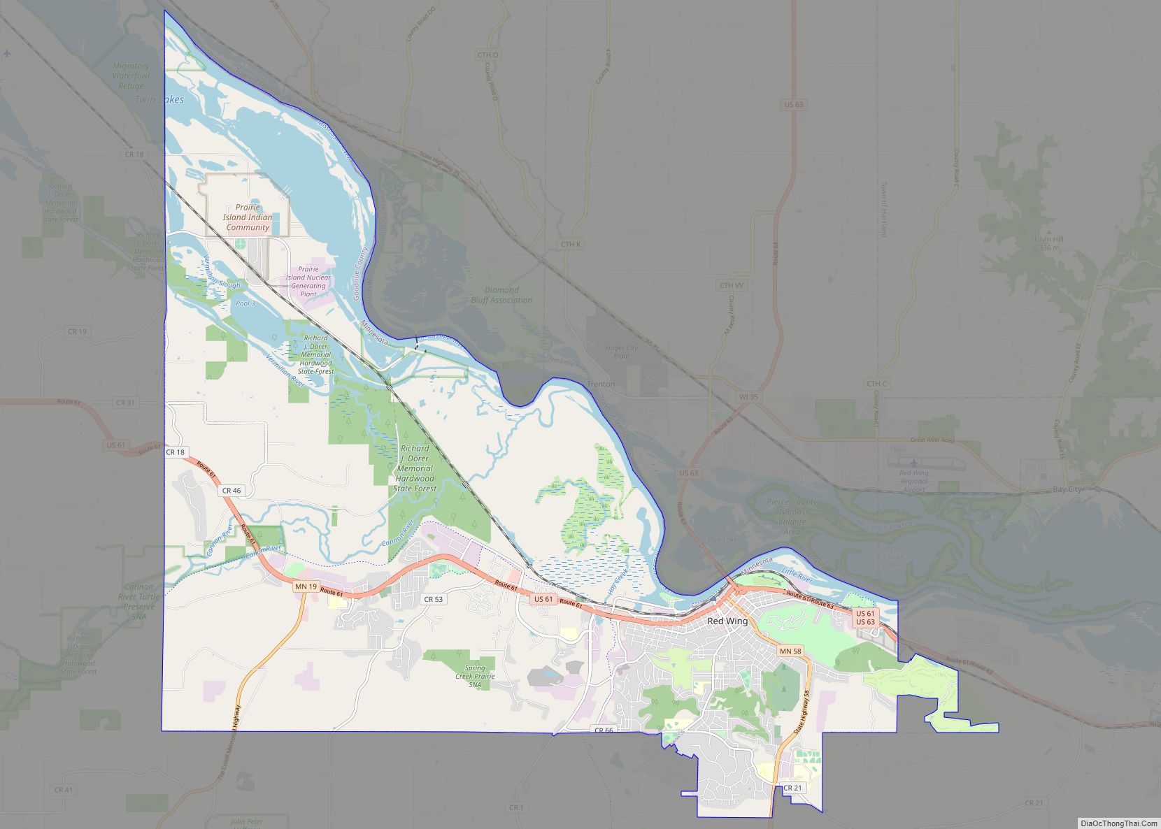
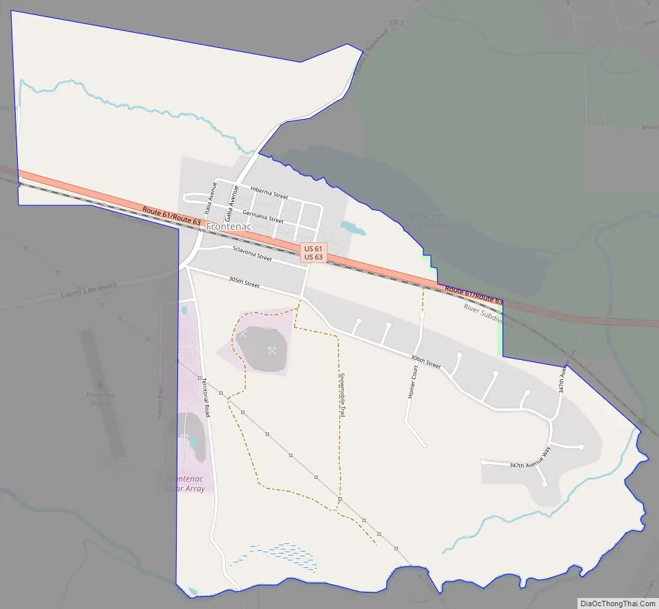
Frontenac Road Map
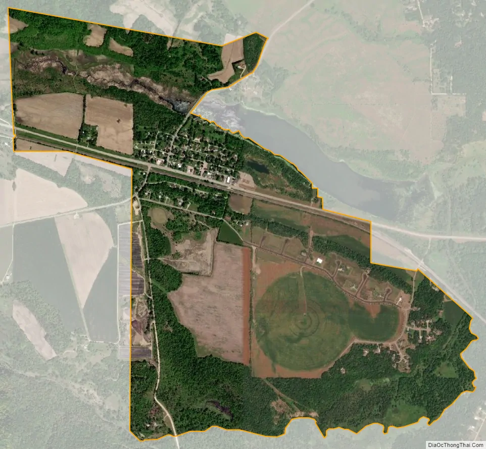
Frontenac city Satellite Map
Geography
According to the United States Census Bureau, Frontenac has an area of 1.846 miles (2.971 km); 1.844 miles (2.968 km) of this is land, and 0.002 miles (0.0032 km) is water.
See also
Map of Minnesota State and its subdivision:- Aitkin
- Anoka
- Becker
- Beltrami
- Benton
- Big Stone
- Blue Earth
- Brown
- Carlton
- Carver
- Cass
- Chippewa
- Chisago
- Clay
- Clearwater
- Cook
- Cottonwood
- Crow Wing
- Dakota
- Dodge
- Douglas
- Faribault
- Fillmore
- Freeborn
- Goodhue
- Grant
- Hennepin
- Houston
- Hubbard
- Isanti
- Itasca
- Jackson
- Kanabec
- Kandiyohi
- Kittson
- Koochiching
- Lac qui Parle
- Lake
- Lake of the Woods
- Lake Superior
- Le Sueur
- Lincoln
- Lyon
- Mahnomen
- Marshall
- Martin
- McLeod
- Meeker
- Mille Lacs
- Morrison
- Mower
- Murray
- Nicollet
- Nobles
- Norman
- Olmsted
- Otter Tail
- Pennington
- Pine
- Pipestone
- Polk
- Pope
- Ramsey
- Red Lake
- Redwood
- Renville
- Rice
- Rock
- Roseau
- Saint Louis
- Scott
- Sherburne
- Sibley
- Stearns
- Steele
- Stevens
- Swift
- Todd
- Traverse
- Wabasha
- Wadena
- Waseca
- Washington
- Watonwan
- Wilkin
- Winona
- Wright
- Yellow Medicine
- Alabama
- Alaska
- Arizona
- Arkansas
- California
- Colorado
- Connecticut
- Delaware
- District of Columbia
- Florida
- Georgia
- Hawaii
- Idaho
- Illinois
- Indiana
- Iowa
- Kansas
- Kentucky
- Louisiana
- Maine
- Maryland
- Massachusetts
- Michigan
- Minnesota
- Mississippi
- Missouri
- Montana
- Nebraska
- Nevada
- New Hampshire
- New Jersey
- New Mexico
- New York
- North Carolina
- North Dakota
- Ohio
- Oklahoma
- Oregon
- Pennsylvania
- Rhode Island
- South Carolina
- South Dakota
- Tennessee
- Texas
- Utah
- Vermont
- Virginia
- Washington
- West Virginia
- Wisconsin
- Wyoming