Hugo /ˈhjuːɡoʊ/ is a city 18 miles (29 km) north of downtown Saint Paul in Washington County in the U.S. state of Minnesota. The population was 14,767 at the 2020 census. The city lies north of White Bear Lake on the border of the metropolitan boundary. Hugo and nearby suburbs comprise the northeast portion of Minneapolis-St. Paul, the sixteenth largest metropolitan area in the United States.
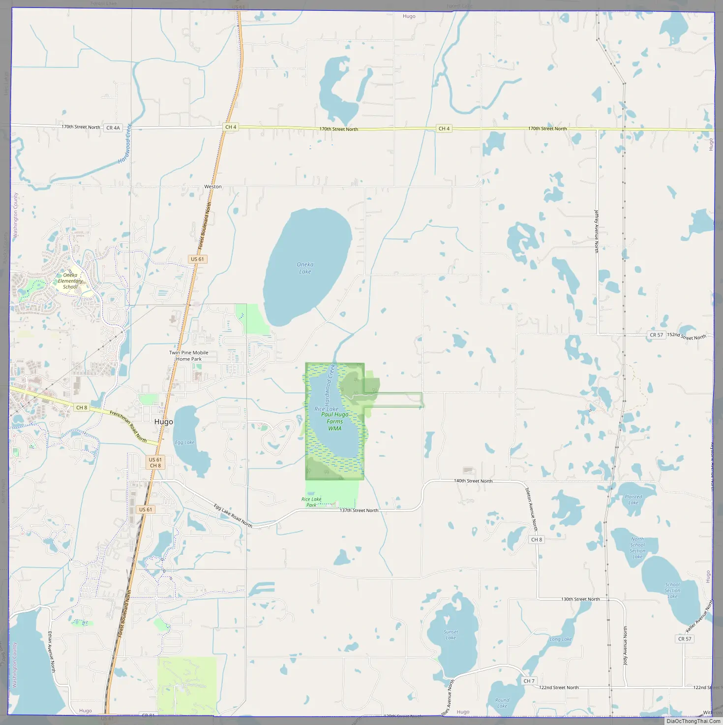
The city’s largest lake, Oneka Lake, is named for the Dakota word “onakan,” which means “to strike or knock off,” rice into a canoe. Just south is Rice Lake where Mdewakanton Dakota from Mendota gathered wild rice.
| Name: | Hugo city |
|---|---|
| LSAD Code: | 25 |
| LSAD Description: | city (suffix) |
| State: | Minnesota |
| County: | Washington County |
| Elevation: | 929 ft (283 m) |
| Total Area: | 36.03 sq mi (93.33 km²) |
| Land Area: | 33.46 sq mi (86.66 km²) |
| Water Area: | 2.57 sq mi (6.67 km²) |
| Total Population: | 15,766 |
| Population Density: | 471.18/sq mi (181.92/km²) |
| ZIP code: | 55038 |
| Area code: | 651 |
| FIPS code: | 2730392 |
| GNISfeature ID: | 2394440 |
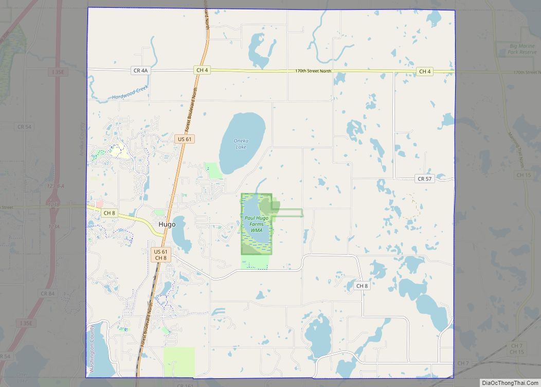
Online Interactive Map
Click on ![]() to view map in "full screen" mode.
to view map in "full screen" mode.
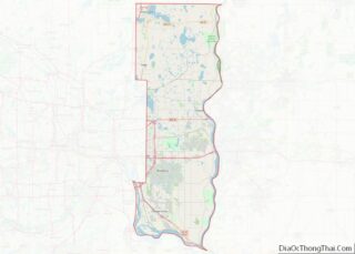
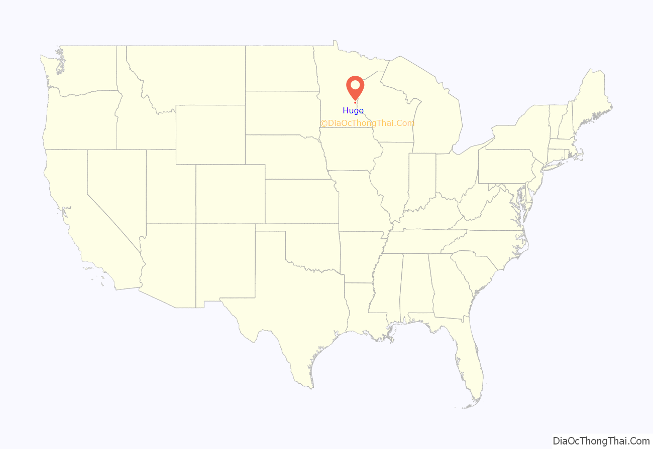
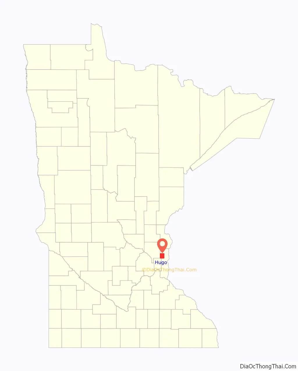
Hugo location map. Where is Hugo city?
History
Originally settled by French Canadians, Hugo early on established itself as a refueling station for the Lake Superior and Mississippi Railroad (later the Northern Pacific Railway). Located in Oneka township, the community was first named Centerville Station and finally Hugo. The naming of Hugo is still uncertain. Local histories point to the French novelist, Victor Hugo, as its namesake due to the abundance of French-Canadian settlers in the area and the writer’s tremendous popularity at the time. Duluth mayor, Trevanion William Hugo, is also said to have given Hugo its name; however, the name “Hugo” was already being used by the village post office before Trevanion Hugo emigrated from Canada. The Oneka Township surrounding the area was also named by the French-Canadians settling the area. Oneka was derived from the Dakota word “onakan” meaning to strike or knock off rice into a canoe. The village incorporated in 1906 and was officially incorporated as a city in 1972. After 2000, Hugo had absorbed significant suburban growth and development to become the thriving city it is today.
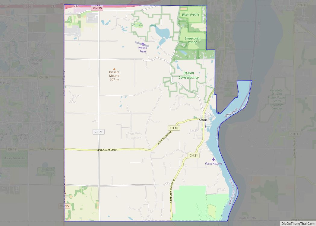
Hugo Road Map
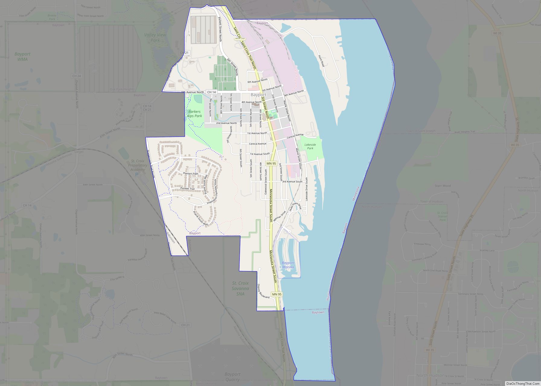
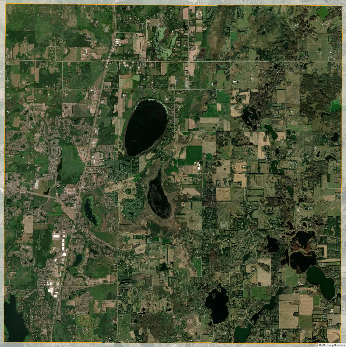
Hugo city Satellite Map
Geography
According to the United States Census Bureau, the city has a total area of 36.02 square miles (93.29 km); 33.45 square miles (86.64 km) is land and 2.57 square miles (6.66 km) is water.
The city is bound by Elmcrest Avenue North on its west, Keystone Avenue North on its east, 180th Street North on its north, and 120th Street North on its south. A major route within the city is U.S. Highway 61, which runs north–south. Interstate 35E is not within the city limits, but is heavily used by Hugo residents. It is located just west of Hugo. Washington County Road 8/Anoka County Road 14 connects U.S. 61 to Interstate 35E.
See also
Map of Minnesota State and its subdivision:- Aitkin
- Anoka
- Becker
- Beltrami
- Benton
- Big Stone
- Blue Earth
- Brown
- Carlton
- Carver
- Cass
- Chippewa
- Chisago
- Clay
- Clearwater
- Cook
- Cottonwood
- Crow Wing
- Dakota
- Dodge
- Douglas
- Faribault
- Fillmore
- Freeborn
- Goodhue
- Grant
- Hennepin
- Houston
- Hubbard
- Isanti
- Itasca
- Jackson
- Kanabec
- Kandiyohi
- Kittson
- Koochiching
- Lac qui Parle
- Lake
- Lake of the Woods
- Lake Superior
- Le Sueur
- Lincoln
- Lyon
- Mahnomen
- Marshall
- Martin
- McLeod
- Meeker
- Mille Lacs
- Morrison
- Mower
- Murray
- Nicollet
- Nobles
- Norman
- Olmsted
- Otter Tail
- Pennington
- Pine
- Pipestone
- Polk
- Pope
- Ramsey
- Red Lake
- Redwood
- Renville
- Rice
- Rock
- Roseau
- Saint Louis
- Scott
- Sherburne
- Sibley
- Stearns
- Steele
- Stevens
- Swift
- Todd
- Traverse
- Wabasha
- Wadena
- Waseca
- Washington
- Watonwan
- Wilkin
- Winona
- Wright
- Yellow Medicine
- Alabama
- Alaska
- Arizona
- Arkansas
- California
- Colorado
- Connecticut
- Delaware
- District of Columbia
- Florida
- Georgia
- Hawaii
- Idaho
- Illinois
- Indiana
- Iowa
- Kansas
- Kentucky
- Louisiana
- Maine
- Maryland
- Massachusetts
- Michigan
- Minnesota
- Mississippi
- Missouri
- Montana
- Nebraska
- Nevada
- New Hampshire
- New Jersey
- New Mexico
- New York
- North Carolina
- North Dakota
- Ohio
- Oklahoma
- Oregon
- Pennsylvania
- Rhode Island
- South Carolina
- South Dakota
- Tennessee
- Texas
- Utah
- Vermont
- Virginia
- Washington
- West Virginia
- Wisconsin
- Wyoming