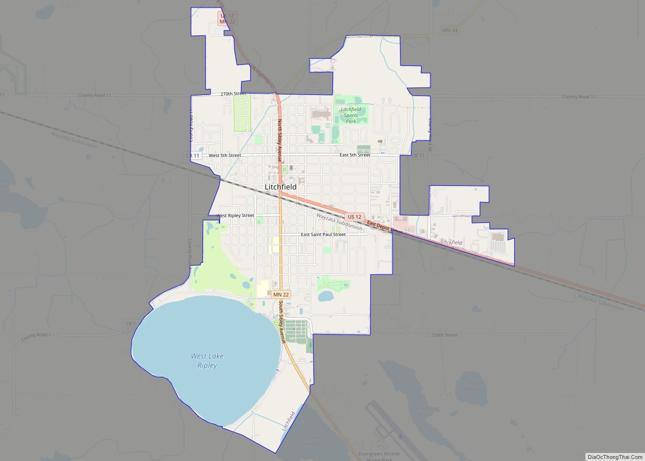
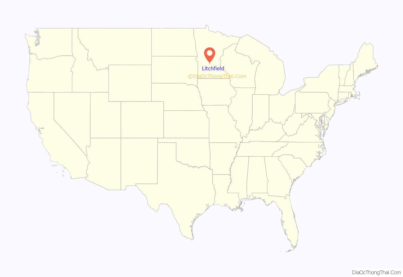
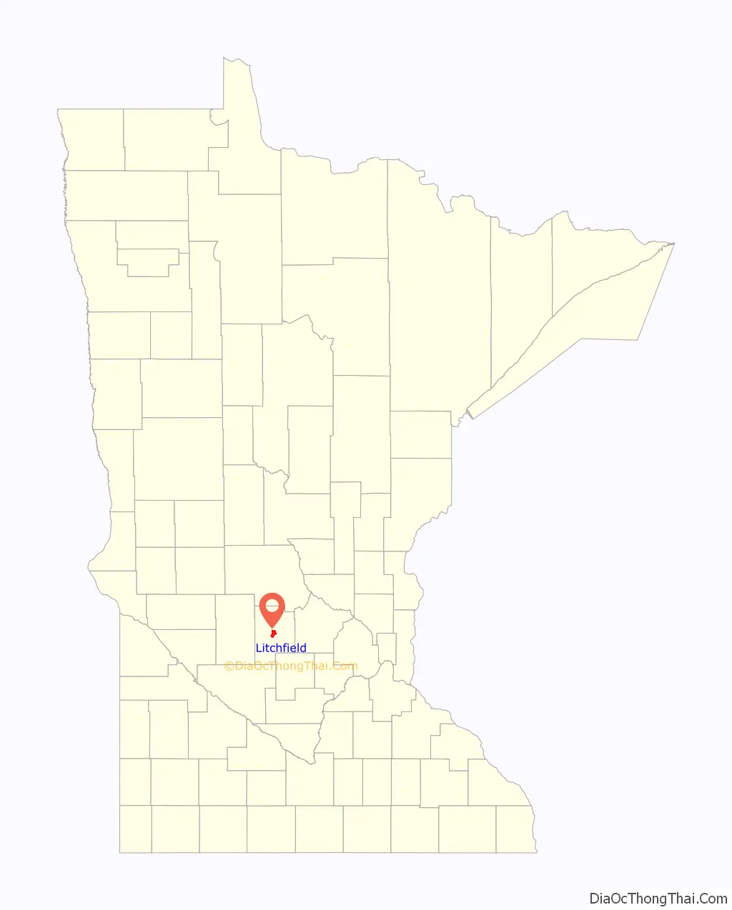
Litchfield is a city in and the county seat of Meeker County, Minnesota, United States. The population was 6,624 at the 2020 census.
| Name: | Litchfield city |
|---|---|
| LSAD Code: | 25 |
| LSAD Description: | city (suffix) |
| State: | Minnesota |
| County: | Meeker County |
| Elevation: | 1,129 ft (344 m) |
| Total Area: | 5.45 sq mi (14.12 km²) |
| Land Area: | 4.48 sq mi (11.59 km²) |
| Water Area: | 0.98 sq mi (2.53 km²) |
| Total Population: | 6,624 |
| Population Density: | 1,479.89/sq mi (571.44/km²) |
| ZIP code: | 55355 |
| Area code: | 320 |
| FIPS code: | 2737448 |
| GNISfeature ID: | 0646743 |
| Website: | ci.litchfield.mn.us |
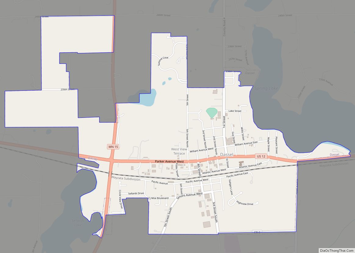
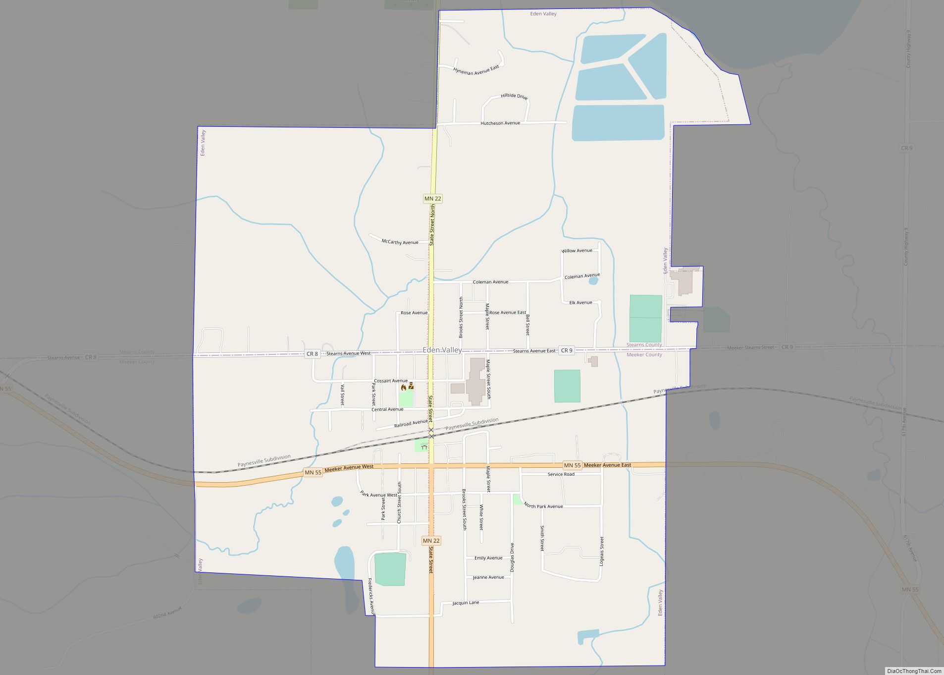
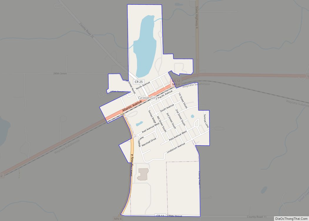
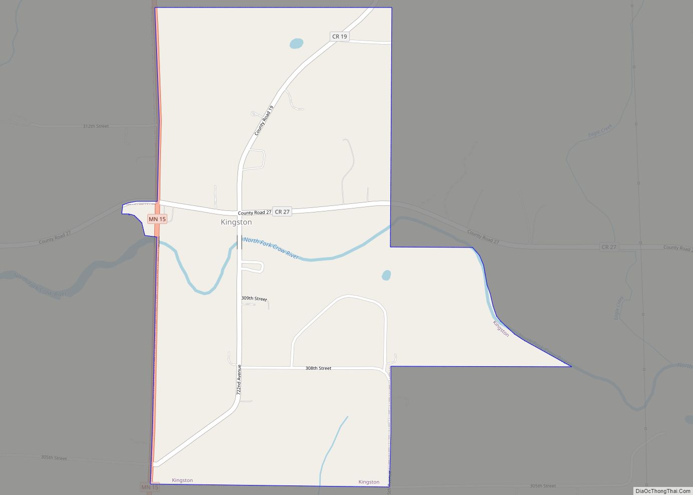
Online Interactive Map
Click on ![]() to view map in "full screen" mode.
to view map in "full screen" mode.
Litchfield location map. Where is Litchfield city?
History
Immigration to the county was slow until the St. Paul, Minneapolis and Manitoba Railroad, later the called St. Paul and Pacific and then the Great Northern, started coming through the area in 1869. The first train to arrive was a construction train on August 13, 1869.
The town site was laid out in 1869 with agriculture and agriculture related industries making up a large base of the economy.
The town’s first post office opened in a home in September 20, 1869. It later moved to the northwest corner of Sibley Avenue and Second Street, to a clothing store owned by the town’s first official postmaster.
Town name
The settlers living in the area that is now Litchfield, named their settlement Ness on April 5, 1858, after many of the first settlers’ home – the parish of Næs in the traditional region of Hallingdal, Norway.
Litchfield got its name from a man named Electus Bachus Darwin Litchfield. He was a contractor, an investor, and a stockholder in the St. Paul and Pacific Railroad which originally went from St. Paul to St. Cloud and was built from 1862 to 1864. Later, his investments provided the means for building a more southern line through Meeker County to Breckenridge.
Village of Litchfield was originally called several different names including Round Lake, Ripley, and finally Ness. Litchfield was originally a portion of a congressional township named Round Lake, but most people called it Ripley after Ripley Lake one mile from its center.
The people of Ness were permitted to vote on the actual chartered village name of their township. Electus Litchfield donated grants of $2000 each to various religious sects in town to build churches, the Episcopal and Presbyterian churches being two of them. The Presbyterian Church, Litchfield’s first church, was built in 1870.
The majority of the 350 people voted for the name Litchfield over Ness and the township of Litchfield was chartered as a village on February 29, 1872. The first village council meeting was held on April 5, 1872, in the railroad’s land office. Jesse Vawter Branham, Jr. was elected the President of the Council.
Early history as village
While most sidewalks in town were made of wood, the first cement sidewalk in Litchfield was laid in 1895 in the 200 block of Sibley Avenue.
By 1871, the village had grown to double the population of Forest City, Minnesota. The railroad put up a twenty-five by sixty-foot one-story building called an “immigrant’s reception house.” In addition to Litchfield, the railroad put immigrant houses in villages along the railroad’s lines in the 1870s including in Willmar, Benson, Morris, and Breckenridge, Minnesota. The houses were “fitted up with cooking-stoves, washing conveniences, and beds.” Newly arriving immigrants were given shelter in the reception houses and the chance to buy food and clothing at cost from the railroad while they looked for land in the area.
Early history as city
The Village of Litchfield incorporated as a city in 1943.
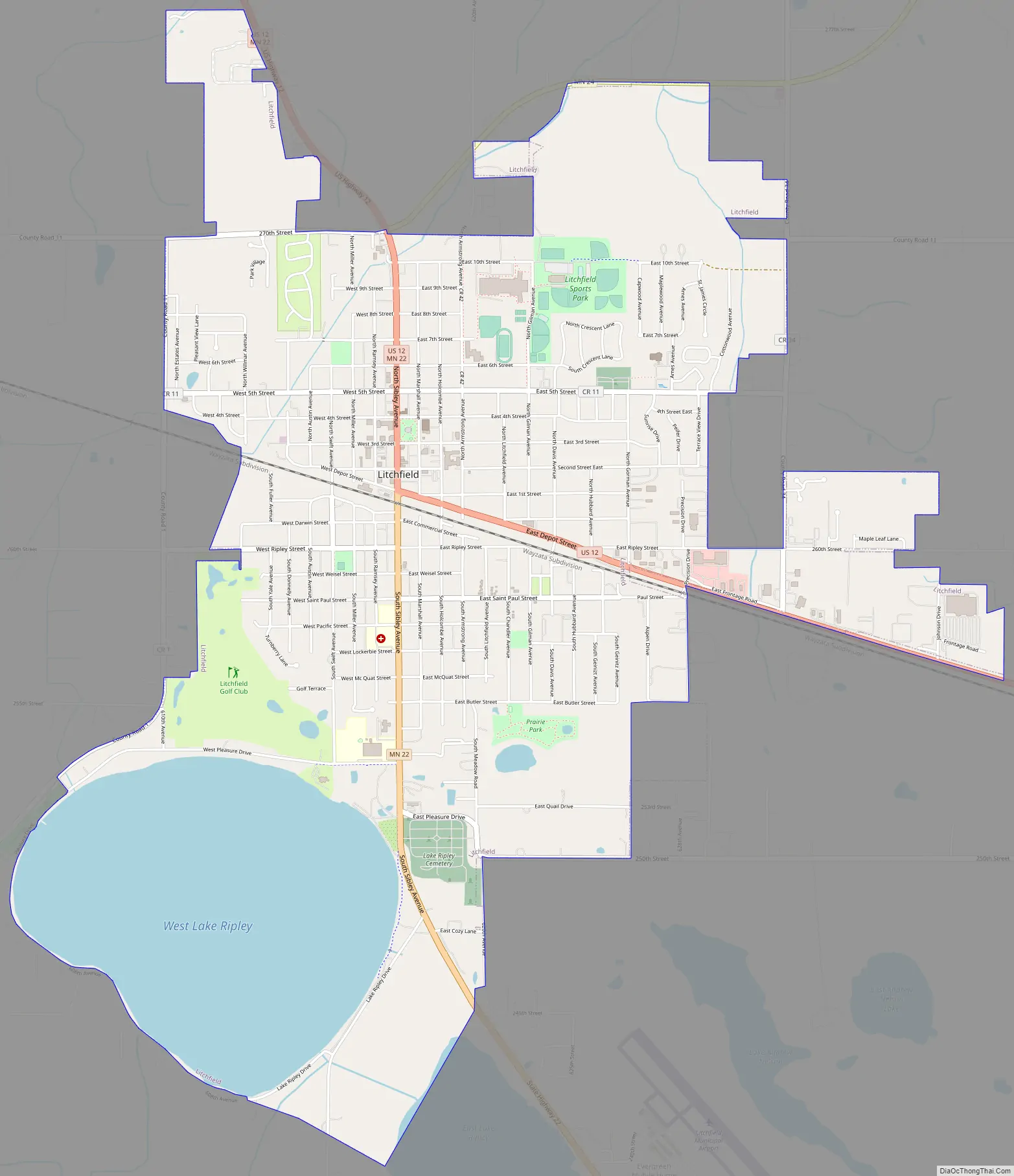
Litchfield Road Map
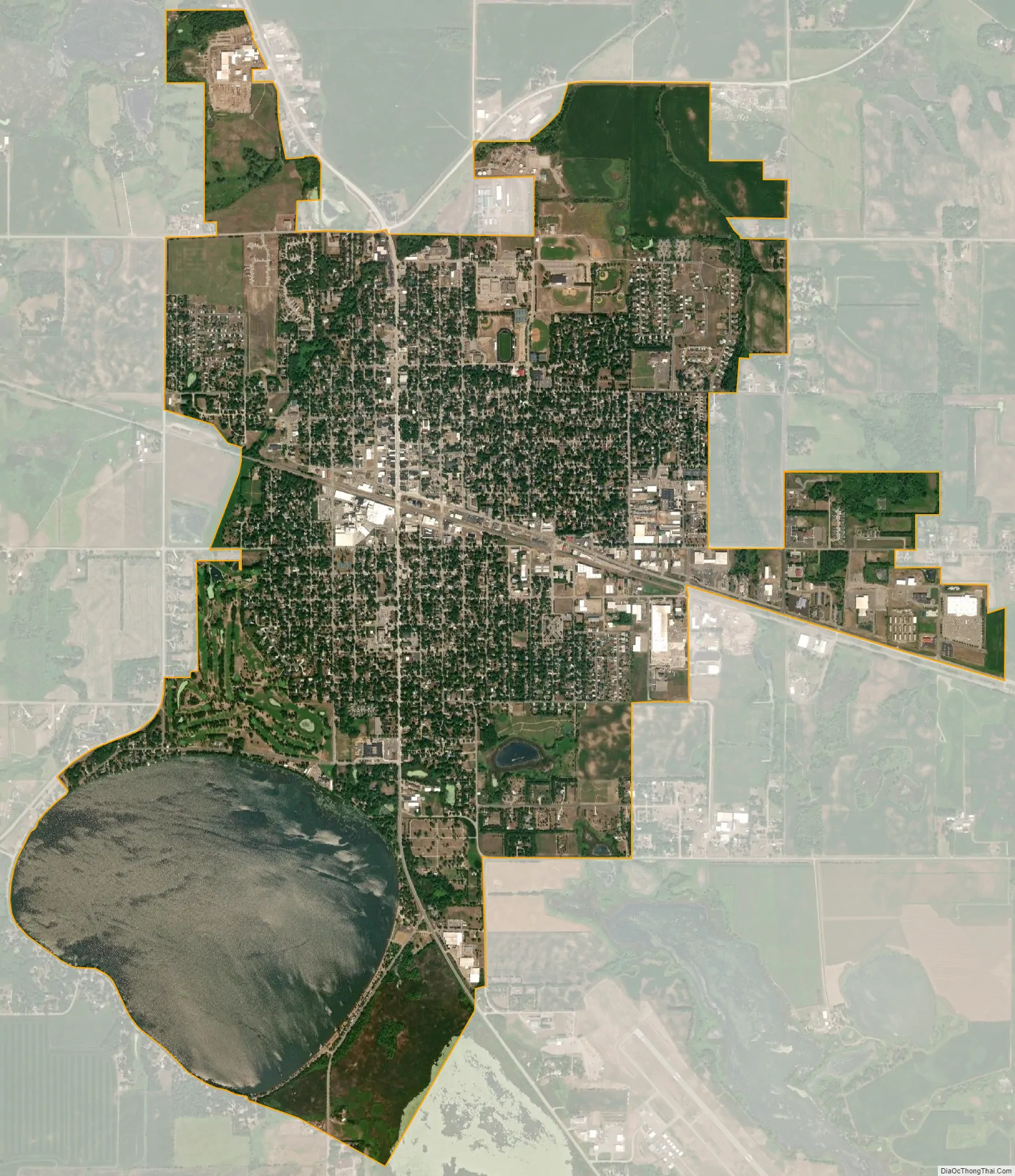
Litchfield city Satellite Map
Geography
According to the United States Census Bureau, the city has a total area of 5.40 square miles (13.99 km), of which 4.43 square miles (11.47 km) is land and 0.97 square miles (2.51 km) is water.
U.S. Highway 12 and Minnesota State Highways 22 and 24 are three of the main routes in the city.
Climate
See also
Map of Minnesota State and its subdivision:- Aitkin
- Anoka
- Becker
- Beltrami
- Benton
- Big Stone
- Blue Earth
- Brown
- Carlton
- Carver
- Cass
- Chippewa
- Chisago
- Clay
- Clearwater
- Cook
- Cottonwood
- Crow Wing
- Dakota
- Dodge
- Douglas
- Faribault
- Fillmore
- Freeborn
- Goodhue
- Grant
- Hennepin
- Houston
- Hubbard
- Isanti
- Itasca
- Jackson
- Kanabec
- Kandiyohi
- Kittson
- Koochiching
- Lac qui Parle
- Lake
- Lake of the Woods
- Lake Superior
- Le Sueur
- Lincoln
- Lyon
- Mahnomen
- Marshall
- Martin
- McLeod
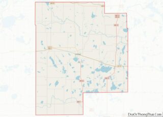
- Meeker
- Mille Lacs
- Morrison
- Mower
- Murray
- Nicollet
- Nobles
- Norman
- Olmsted
- Otter Tail
- Pennington
- Pine
- Pipestone
- Polk
- Pope
- Ramsey
- Red Lake
- Redwood
- Renville
- Rice
- Rock
- Roseau
- Saint Louis
- Scott
- Sherburne
- Sibley
- Stearns
- Steele
- Stevens
- Swift
- Todd
- Traverse
- Wabasha
- Wadena
- Waseca
- Washington
- Watonwan
- Wilkin
- Winona
- Wright
- Yellow Medicine
- Alabama
- Alaska
- Arizona
- Arkansas
- California
- Colorado
- Connecticut
- Delaware
- District of Columbia
- Florida
- Georgia
- Hawaii
- Idaho
- Illinois
- Indiana
- Iowa
- Kansas
- Kentucky
- Louisiana
- Maine
- Maryland
- Massachusetts
- Michigan
- Minnesota
- Mississippi
- Missouri
- Montana
- Nebraska
- Nevada
- New Hampshire
- New Jersey
- New Mexico
- New York
- North Carolina
- North Dakota
- Ohio
- Oklahoma
- Oregon
- Pennsylvania
- Rhode Island
- South Carolina
- South Dakota
- Tennessee
- Texas
- Utah
- Vermont
- Virginia
- Washington
- West Virginia
- Wisconsin
- Wyoming