Medina is a city in Hennepin County, Minnesota, United States. An outer edge suburb of Minneapolis–Saint Paul, the city has a primarily rural character, with agricultural lands and natural preservation areas. Medina is home to the corporate headquarters of Polaris Inc., an automotive manufacturer that produces items such as all-terrain vehicles and snowmobiles.
The population was 6,837 at the 2020 census. It is about 15 miles (24 km) west of downtown Minneapolis.
| Name: | Medina city |
|---|---|
| LSAD Code: | 25 |
| LSAD Description: | city (suffix) |
| State: | Minnesota |
| County: | Hennepin County |
| Elevation: | 1,060 ft (323 m) |
| Land Area: | 25.55 sq mi (66.18 km²) |
| Water Area: | 1.58 sq mi (4.08 km²) |
| Population Density: | 267.58/sq mi (103.32/km²) |
| ZIP code: | 55340, 55357, 55359, 55391 |
| Area code: | 763 |
| FIPS code: | 2741480 |
| GNISfeature ID: | 1690854 |
Online Interactive Map
Click on ![]() to view map in "full screen" mode.
to view map in "full screen" mode.
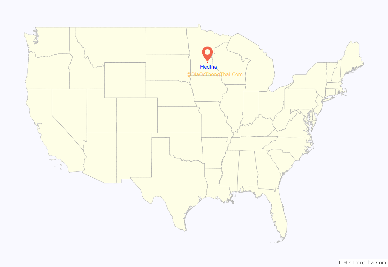
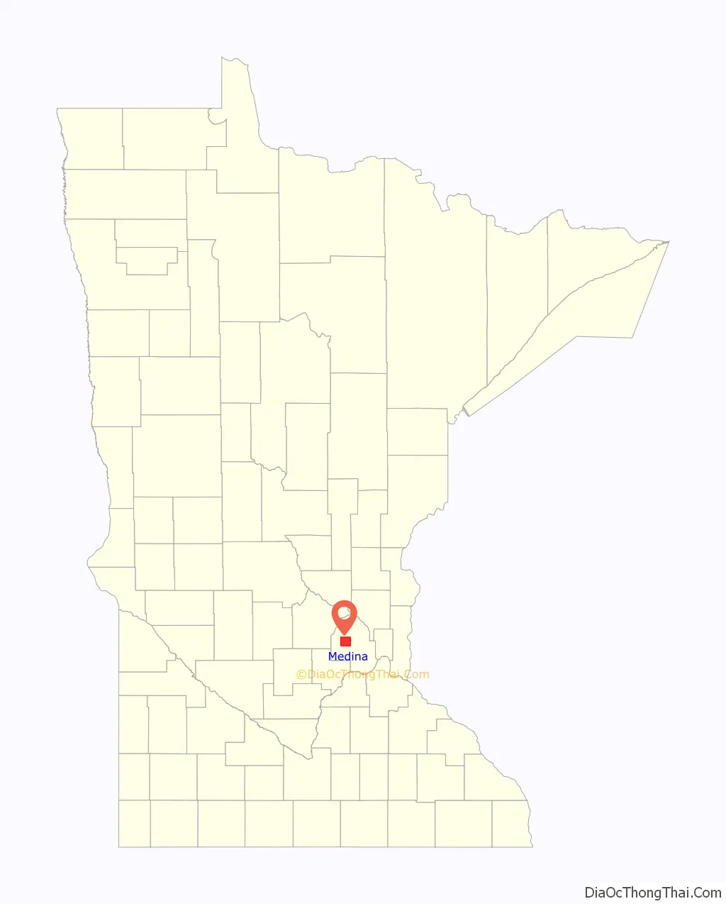
Medina location map. Where is Medina city?
History
Originally named Hamburg Township, it was soon after, on May 11, 1858, renamed after the city of Medina, Saudi Arabia, which had been in the news that year. The township of Medina extended as far south as Lake Minnetonka until Orono Township was formed in 1889. On May 26, 1955, Medina Township was incorporated as a village. It became a city in 1974 when Minnesota changed its statutes.
For almost all of Medina’s history, it has been a rural community with a large farming presence. But beginning in the 1970s, it became more urbanized, with paved roads, street signs, and some suburban developments.
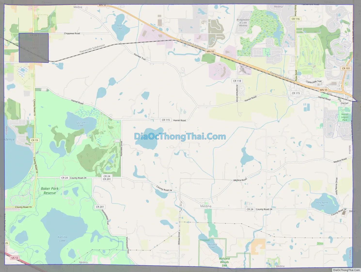
Medina Road Map
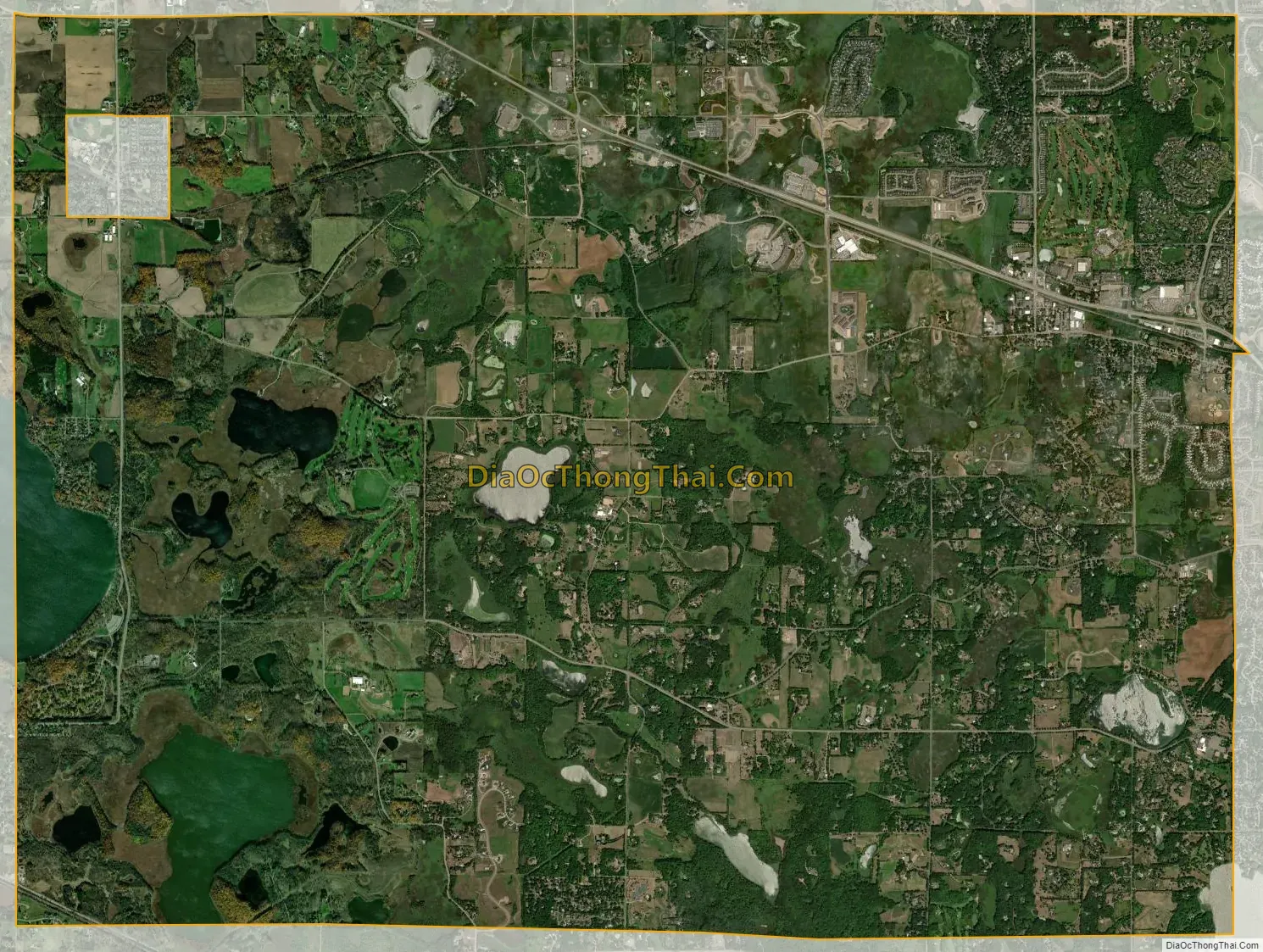
Medina city Satellite Map
Geography
According to the United States Census Bureau, the city has an area of 27.00 square miles (69.93 km), of which 25.45 square miles (65.92 km) is land and 1.55 square miles (4.01 km) is water. Minnesota State Highway 55 serves as the main route. Other routes include County Roads 19 and 24. The city of Loretto is completely enclaved by the city of Medina; Loretto is in the northwestern corner of Medina.
See also
Map of Minnesota State and its subdivision:- Aitkin
- Anoka
- Becker
- Beltrami
- Benton
- Big Stone
- Blue Earth
- Brown
- Carlton
- Carver
- Cass
- Chippewa
- Chisago
- Clay
- Clearwater
- Cook
- Cottonwood
- Crow Wing
- Dakota
- Dodge
- Douglas
- Faribault
- Fillmore
- Freeborn
- Goodhue
- Grant
- Hennepin
- Houston
- Hubbard
- Isanti
- Itasca
- Jackson
- Kanabec
- Kandiyohi
- Kittson
- Koochiching
- Lac qui Parle
- Lake
- Lake of the Woods
- Lake Superior
- Le Sueur
- Lincoln
- Lyon
- Mahnomen
- Marshall
- Martin
- McLeod
- Meeker
- Mille Lacs
- Morrison
- Mower
- Murray
- Nicollet
- Nobles
- Norman
- Olmsted
- Otter Tail
- Pennington
- Pine
- Pipestone
- Polk
- Pope
- Ramsey
- Red Lake
- Redwood
- Renville
- Rice
- Rock
- Roseau
- Saint Louis
- Scott
- Sherburne
- Sibley
- Stearns
- Steele
- Stevens
- Swift
- Todd
- Traverse
- Wabasha
- Wadena
- Waseca
- Washington
- Watonwan
- Wilkin
- Winona
- Wright
- Yellow Medicine
- Alabama
- Alaska
- Arizona
- Arkansas
- California
- Colorado
- Connecticut
- Delaware
- District of Columbia
- Florida
- Georgia
- Hawaii
- Idaho
- Illinois
- Indiana
- Iowa
- Kansas
- Kentucky
- Louisiana
- Maine
- Maryland
- Massachusetts
- Michigan
- Minnesota
- Mississippi
- Missouri
- Montana
- Nebraska
- Nevada
- New Hampshire
- New Jersey
- New Mexico
- New York
- North Carolina
- North Dakota
- Ohio
- Oklahoma
- Oregon
- Pennsylvania
- Rhode Island
- South Carolina
- South Dakota
- Tennessee
- Texas
- Utah
- Vermont
- Virginia
- Washington
- West Virginia
- Wisconsin
- Wyoming


