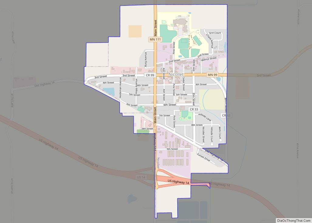
Nicollet (/ˈnɪkəlɪt/ NIH-kə-lit) is a city in Nicollet County, Minnesota, United States. The population was 1,143 at the 2020 census.
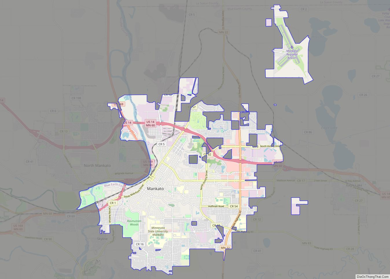
It is part of the Mankato—North Mankato Metropolitan Statistical Area.
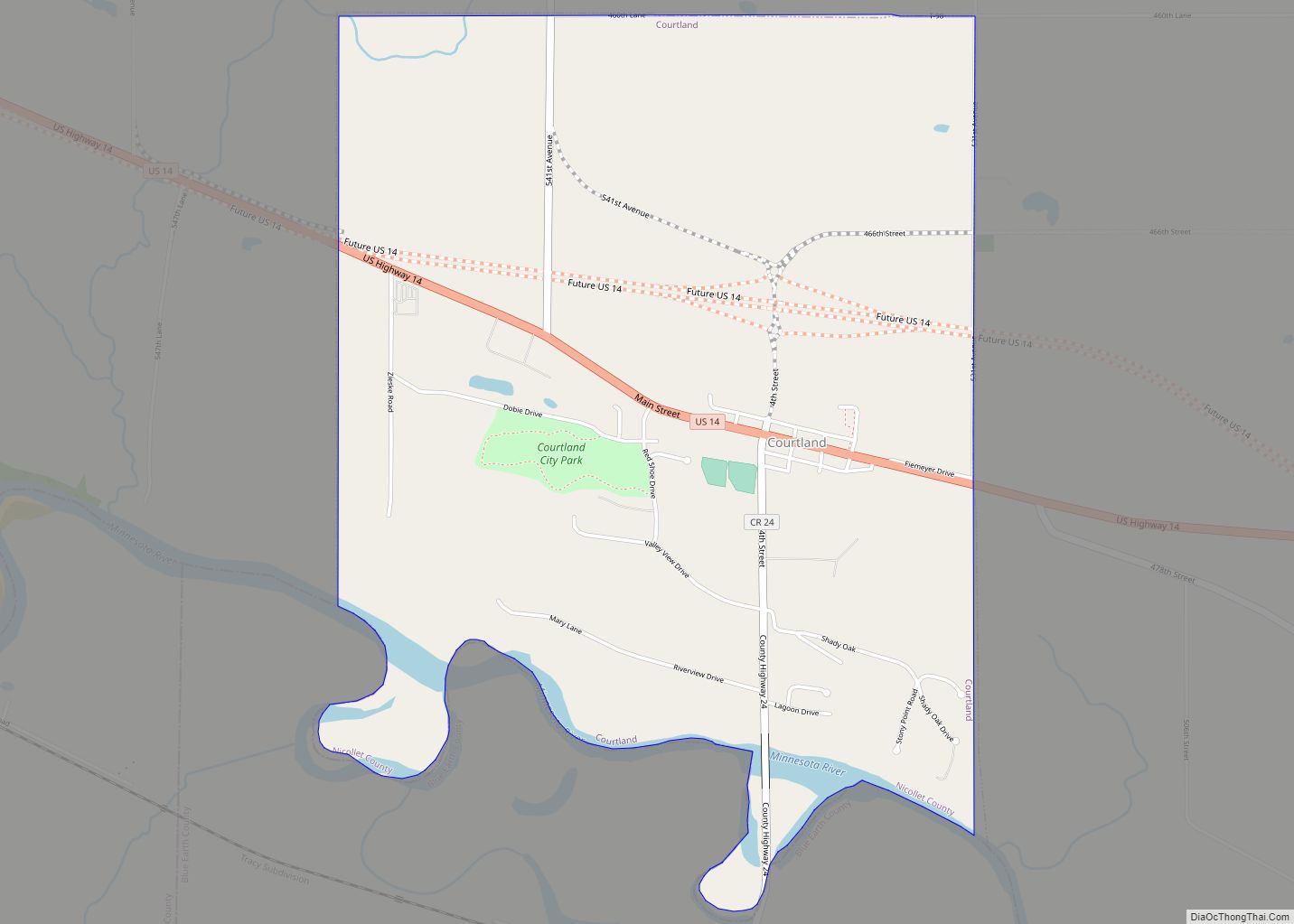
U.S. Route 14 and Minnesota State Highways 99 and 111 are the three main arterial routes in the community. Nearby Swan Lake Wildlife Management Area is one of the most significant waterfowl breeding areas in the upper Midwest.
| Name: | Nicollet city |
|---|---|
| LSAD Code: | 25 |
| LSAD Description: | city (suffix) |
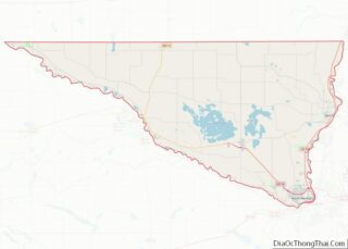
| State: | Minnesota |
| County: | Nicollet County |
| Elevation: | 984 ft (300 m) |
| Total Area: | 0.91 sq mi (2.35 km²) |
| Land Area: | 0.91 sq mi (2.35 km²) |
| Water Area: | 0.00 sq mi (0.00 km²) |
| Total Population: | 1,143 |
| Population Density: | 1,260.20/sq mi (486.70/km²) |
| ZIP code: | 56074 |
| Area code: | 507 |
| FIPS code: | 2746150 |
| GNISfeature ID: | 0648544 |
| Website: | Nicollet.org |
Online Interactive Map
Click on ![]() to view map in "full screen" mode.
to view map in "full screen" mode.
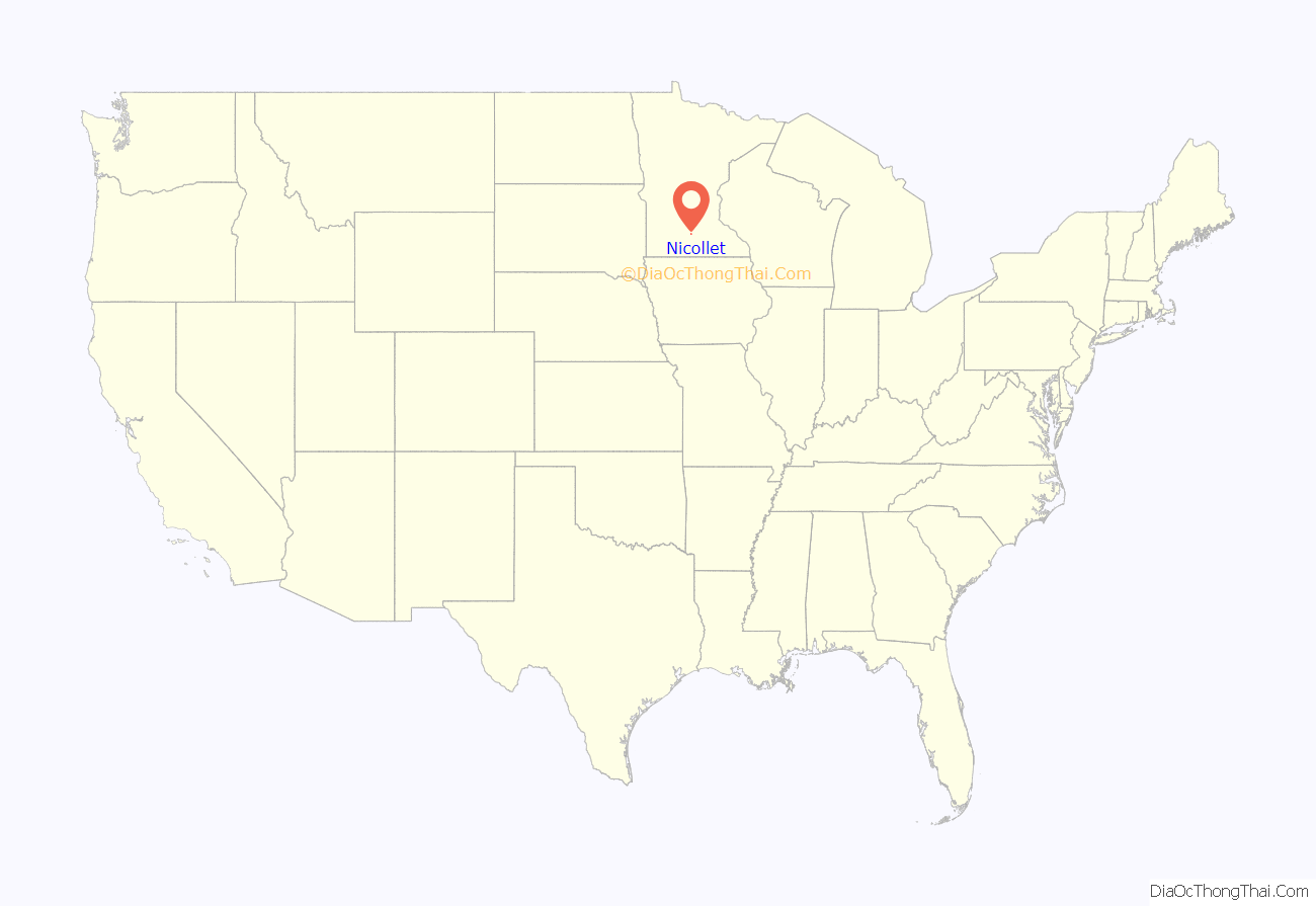
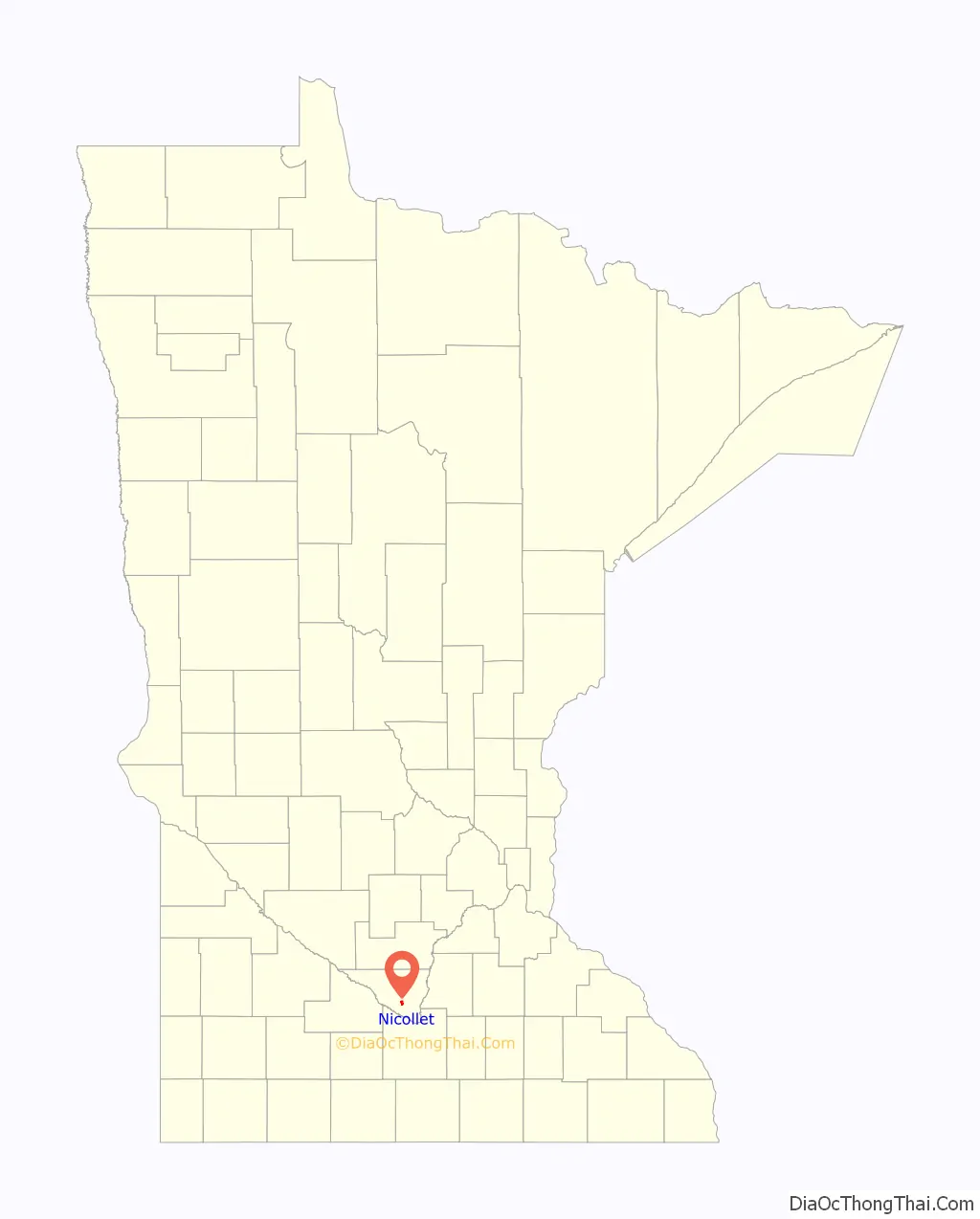
Nicollet location map. Where is Nicollet city?
History
The city of Nicollet was named for Joseph Nicollet, a French explorer. A post office called Nicollet, along with the town of Nicollet, was established in 1858 by William A. Mills. Nicollet was platted on June 30, 1874 by James H. Stewart and Walter L. Brackenridge as a railroad town. Nicollet was incorporated in 1881.
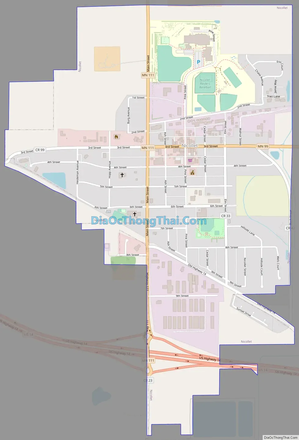
Nicollet Road Map
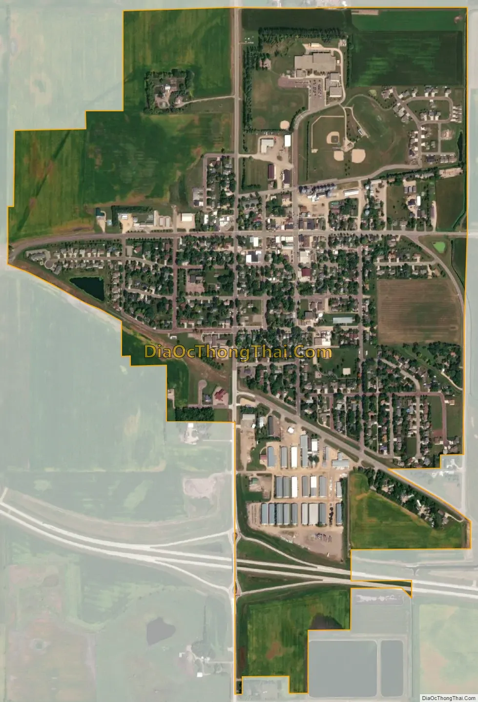
Nicollet city Satellite Map
Geography
According to the U.S. Census Bureau, the city has a total area of 0.94 square miles (2.43 km), all land.
See also
Map of Minnesota State and its subdivision:- Aitkin
- Anoka
- Becker
- Beltrami
- Benton
- Big Stone
- Blue Earth
- Brown
- Carlton
- Carver
- Cass
- Chippewa
- Chisago
- Clay
- Clearwater
- Cook
- Cottonwood
- Crow Wing
- Dakota
- Dodge
- Douglas
- Faribault
- Fillmore
- Freeborn
- Goodhue
- Grant
- Hennepin
- Houston
- Hubbard
- Isanti
- Itasca
- Jackson
- Kanabec
- Kandiyohi
- Kittson
- Koochiching
- Lac qui Parle
- Lake
- Lake of the Woods
- Lake Superior
- Le Sueur
- Lincoln
- Lyon
- Mahnomen
- Marshall
- Martin
- McLeod
- Meeker
- Mille Lacs
- Morrison
- Mower
- Murray
- Nicollet
- Nobles
- Norman
- Olmsted
- Otter Tail
- Pennington
- Pine
- Pipestone
- Polk
- Pope
- Ramsey
- Red Lake
- Redwood
- Renville
- Rice
- Rock
- Roseau
- Saint Louis
- Scott
- Sherburne
- Sibley
- Stearns
- Steele
- Stevens
- Swift
- Todd
- Traverse
- Wabasha
- Wadena
- Waseca
- Washington
- Watonwan
- Wilkin
- Winona
- Wright
- Yellow Medicine
- Alabama
- Alaska
- Arizona
- Arkansas
- California
- Colorado
- Connecticut
- Delaware
- District of Columbia
- Florida
- Georgia
- Hawaii
- Idaho
- Illinois
- Indiana
- Iowa
- Kansas
- Kentucky
- Louisiana
- Maine
- Maryland
- Massachusetts
- Michigan
- Minnesota
- Mississippi
- Missouri
- Montana
- Nebraska
- Nevada
- New Hampshire
- New Jersey
- New Mexico
- New York
- North Carolina
- North Dakota
- Ohio
- Oklahoma
- Oregon
- Pennsylvania
- Rhode Island
- South Carolina
- South Dakota
- Tennessee
- Texas
- Utah
- Vermont
- Virginia
- Washington
- West Virginia
- Wisconsin
- Wyoming