Paynesville is a city in Stearns County, Minnesota, United States, on Lake Koronis, in the central part of the state. The population was 2,388 at the 2020 census. It is part of the St. Cloud Metropolitan Statistical Area.
| Name: | Paynesville city |
|---|---|
| LSAD Code: | 25 |
| LSAD Description: | city (suffix) |
| State: | Minnesota |
| County: | Stearns County |
| Elevation: | 1,171 ft (357 m) |
| Total Area: | 2.29 sq mi (5.93 km²) |
| Land Area: | 2.29 sq mi (5.93 km²) |
| Water Area: | 0.00 sq mi (0.00 km²) |
| Total Population: | 2,388 |
| Population Density: | 1,042.79/sq mi (402.66/km²) |
| ZIP code: | 56362 |
| Area code: | 320 |
| FIPS code: | 2749966 |
| GNISfeature ID: | 0649194 |
| Website: | paynesvillemn.com |
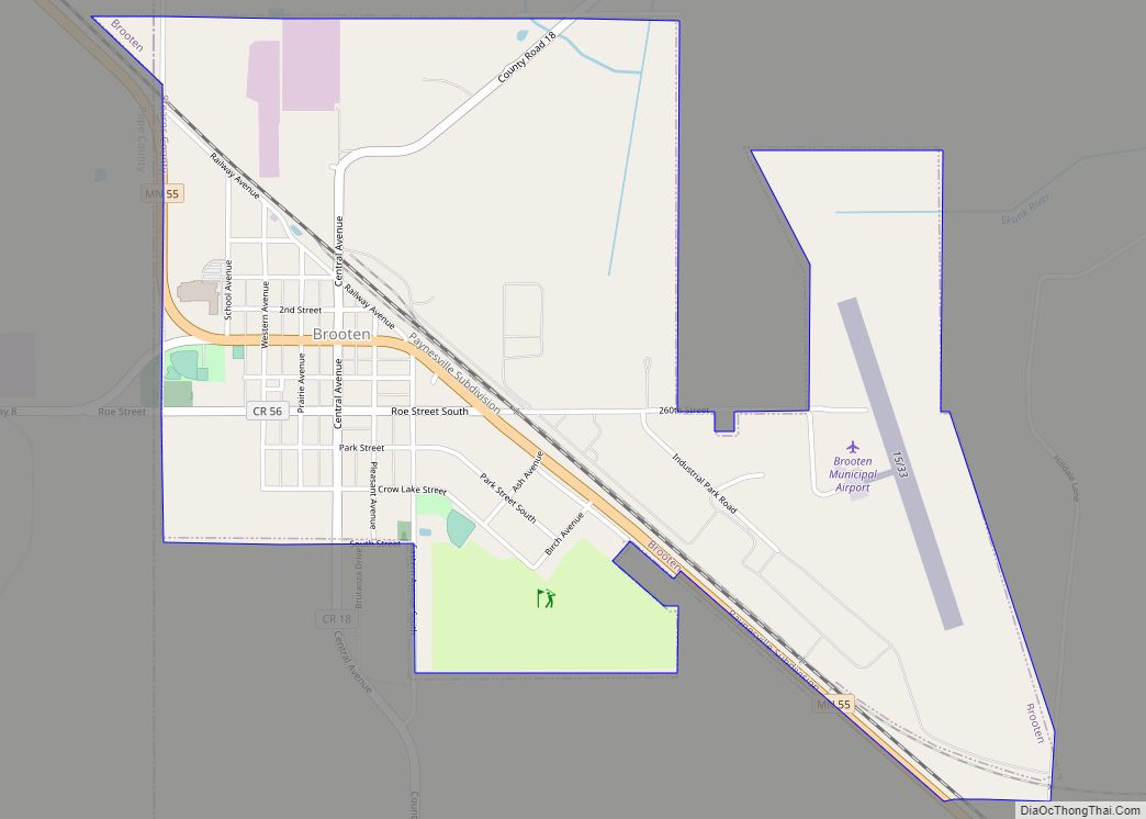
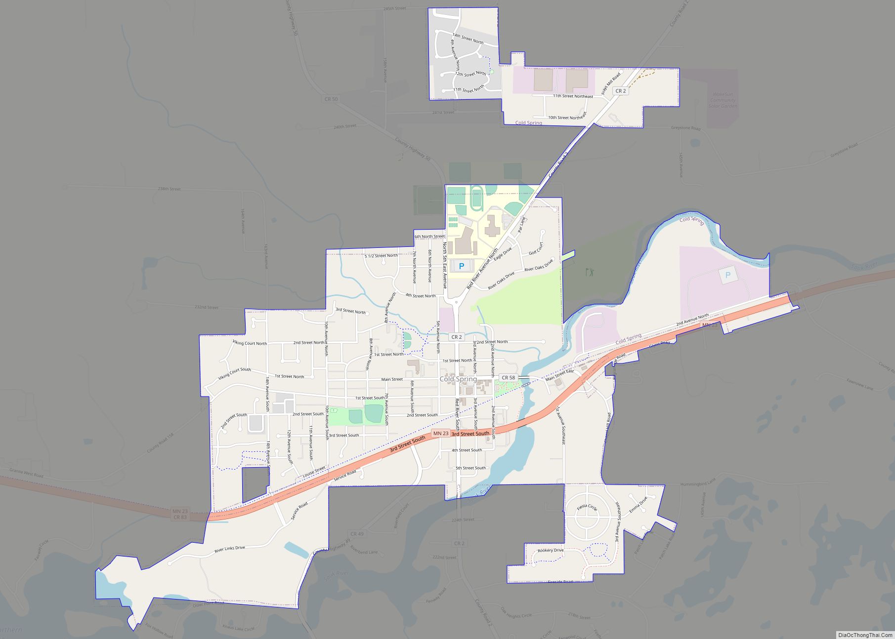
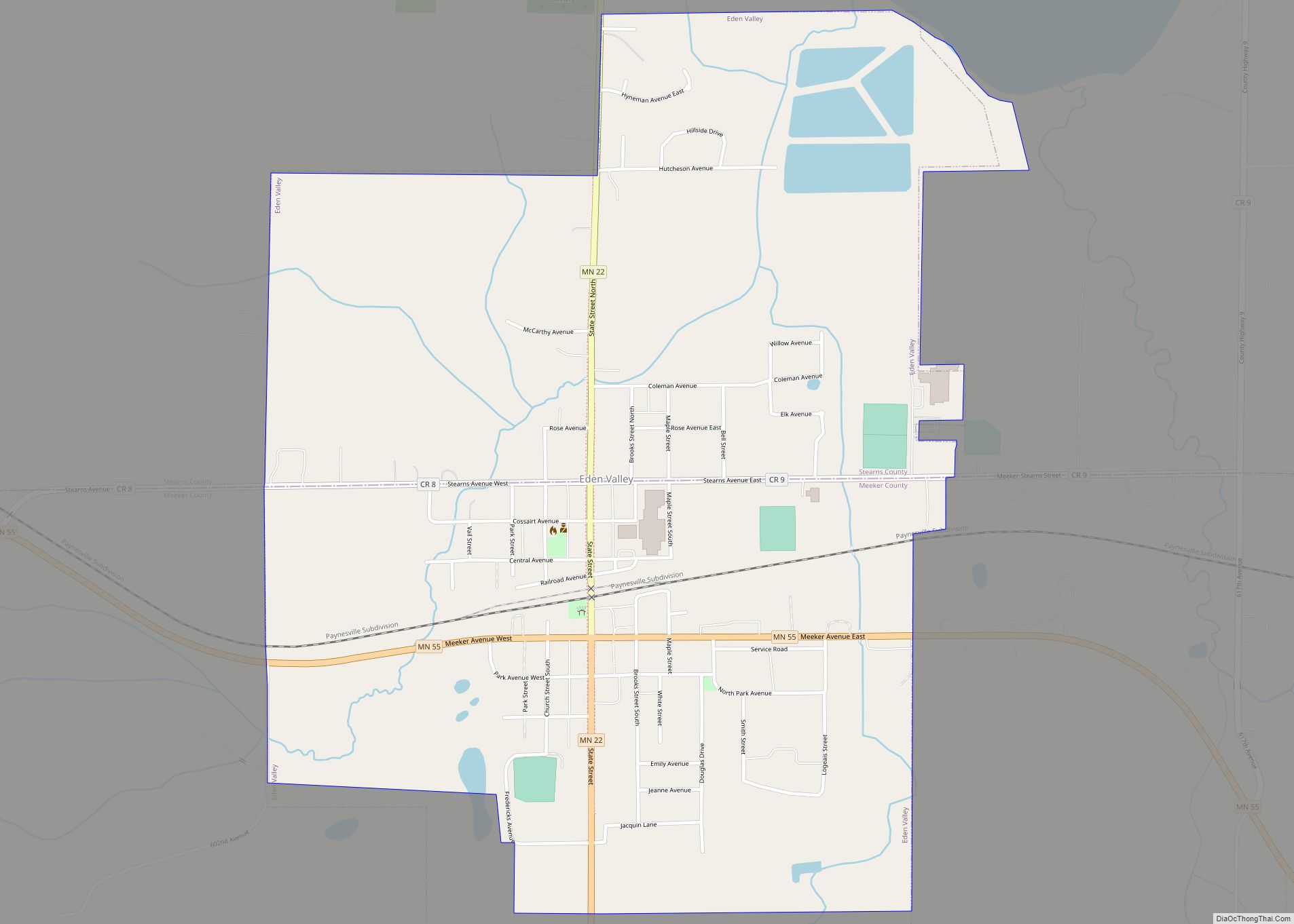
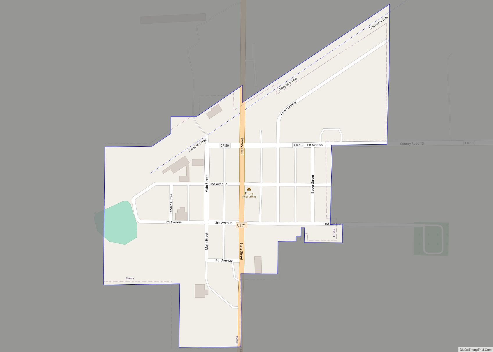
Online Interactive Map
Click on ![]() to view map in "full screen" mode.
to view map in "full screen" mode.
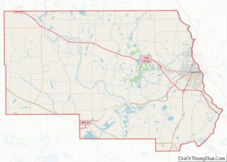
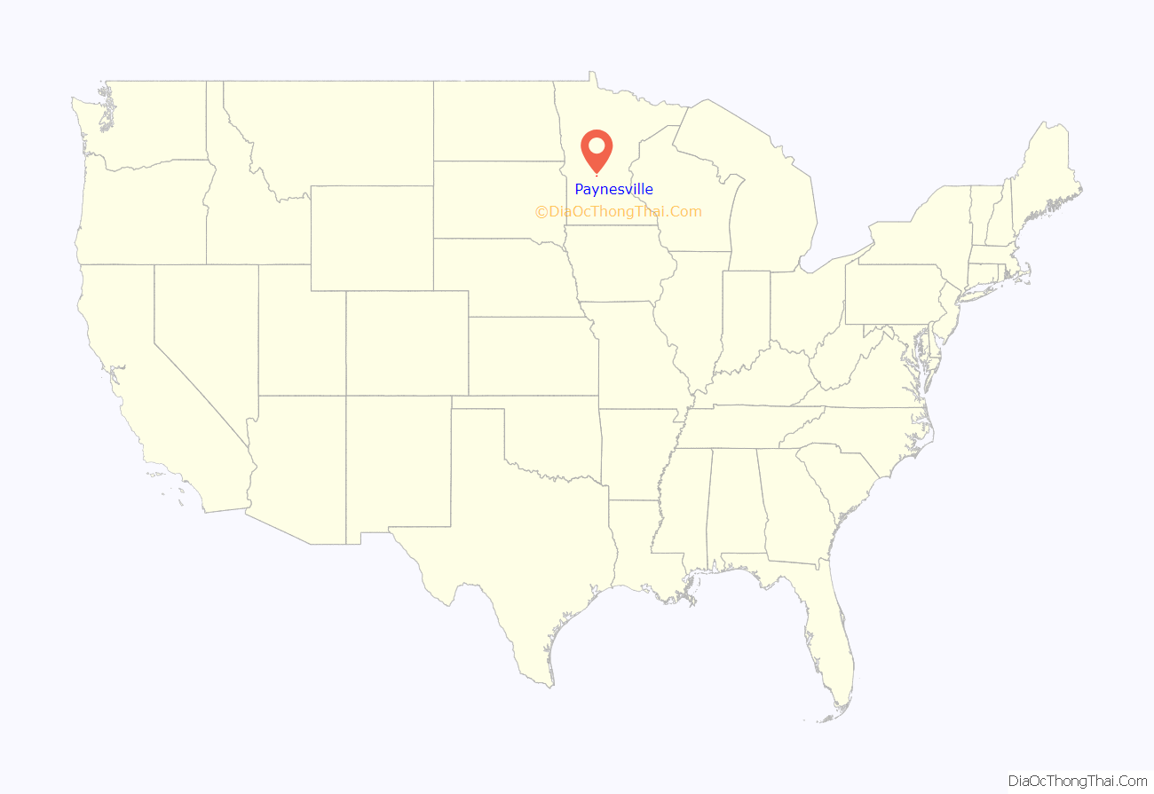
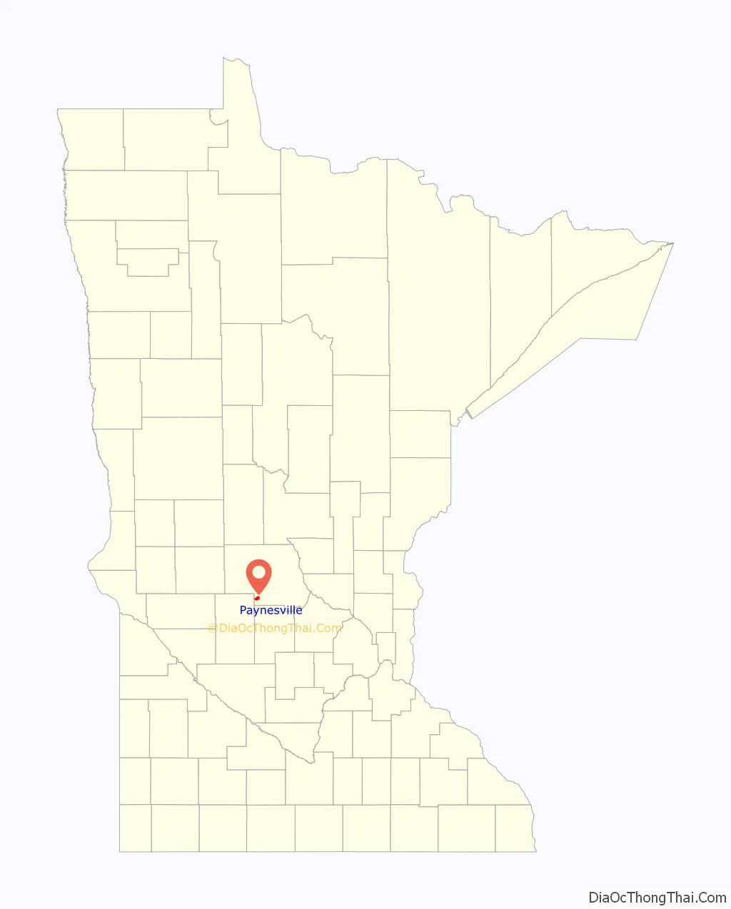
Paynesville location map. Where is Paynesville city?
History
Paynesville was platted in 1857 by Edwin E. Payne, and named for him. The town was completely evacuated to the relative safety of Richmond and St. Cloud during the 1862 Dakota War; the Dakota burned the townsite to the ground. The town was subsequently rebuilt, this time with the addition of a wooden stockade built by the U.S. Army.
The arrival of the Soo Line and Great Northern Railway in 1886 spurred increased settlement near the railroad lines, leading to the formation of the new settlements of Jim Town along the Soo Line and North Paynesville near the Great Northern. Jim town, on the site of today’s downtown Paynesville, became the largest of the three Paynesvilles, eventually merging with the others as New Paynesville, later shortened back to Paynesville.
A post office has been in operation at Paynesville since 1857.
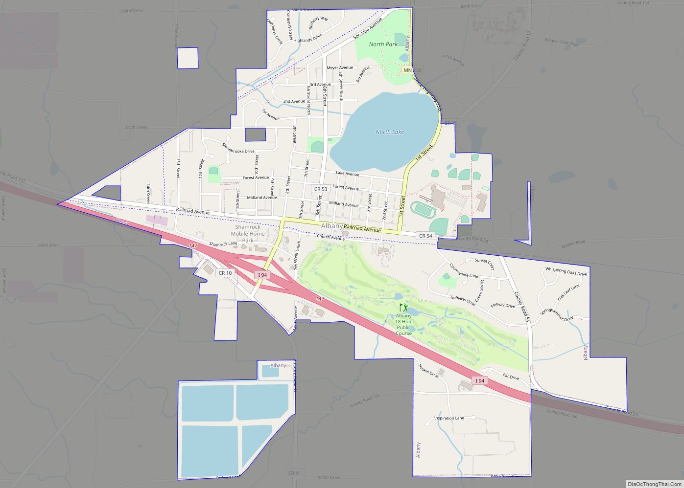
Paynesville Road Map
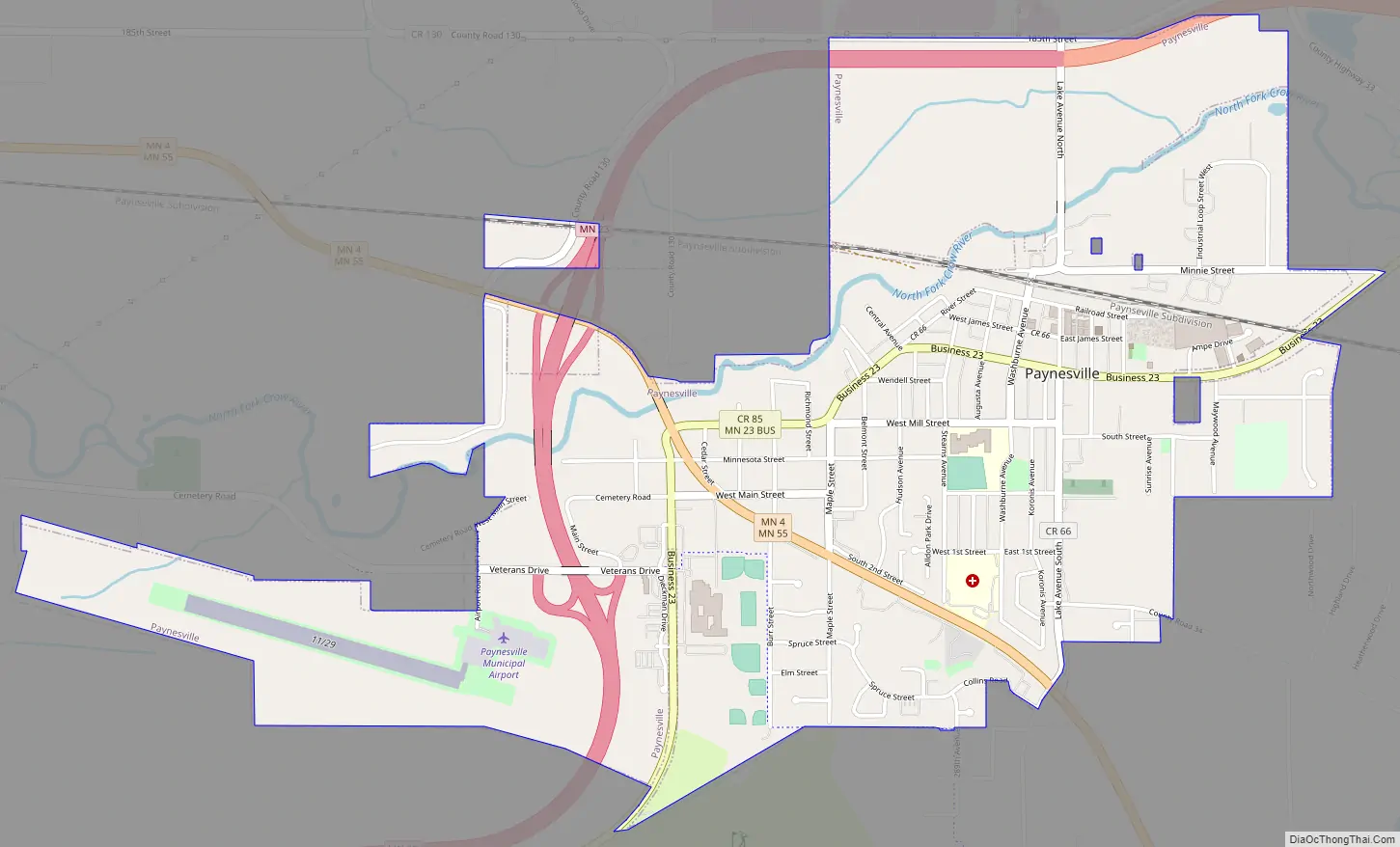
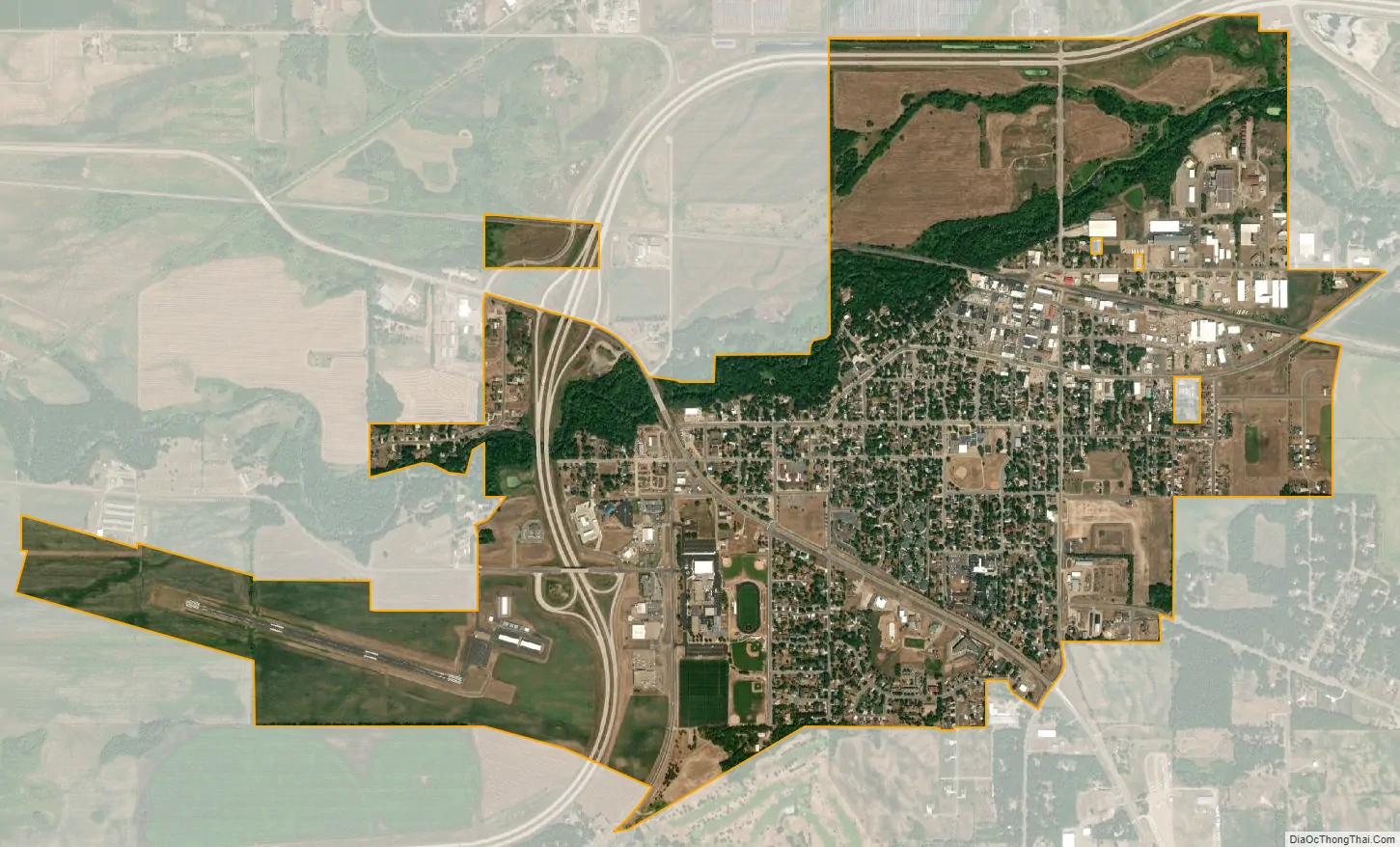
Paynesville city Satellite Map
Geography
Paynesville lies along the North Fork of the Crow River and Lake Koronis. According to the United States Census Bureau, it has an area of 2.32 square miles (6.01 km), all land.
See also
Map of Minnesota State and its subdivision:- Aitkin
- Anoka
- Becker
- Beltrami
- Benton
- Big Stone
- Blue Earth
- Brown
- Carlton
- Carver
- Cass
- Chippewa
- Chisago
- Clay
- Clearwater
- Cook
- Cottonwood
- Crow Wing
- Dakota
- Dodge
- Douglas
- Faribault
- Fillmore
- Freeborn
- Goodhue
- Grant
- Hennepin
- Houston
- Hubbard
- Isanti
- Itasca
- Jackson
- Kanabec
- Kandiyohi
- Kittson
- Koochiching
- Lac qui Parle
- Lake
- Lake of the Woods
- Lake Superior
- Le Sueur
- Lincoln
- Lyon
- Mahnomen
- Marshall
- Martin
- McLeod
- Meeker
- Mille Lacs
- Morrison
- Mower
- Murray
- Nicollet
- Nobles
- Norman
- Olmsted
- Otter Tail
- Pennington
- Pine
- Pipestone
- Polk
- Pope
- Ramsey
- Red Lake
- Redwood
- Renville
- Rice
- Rock
- Roseau
- Saint Louis
- Scott
- Sherburne
- Sibley
- Stearns
- Steele
- Stevens
- Swift
- Todd
- Traverse
- Wabasha
- Wadena
- Waseca
- Washington
- Watonwan
- Wilkin
- Winona
- Wright
- Yellow Medicine
- Alabama
- Alaska
- Arizona
- Arkansas
- California
- Colorado
- Connecticut
- Delaware
- District of Columbia
- Florida
- Georgia
- Hawaii
- Idaho
- Illinois
- Indiana
- Iowa
- Kansas
- Kentucky
- Louisiana
- Maine
- Maryland
- Massachusetts
- Michigan
- Minnesota
- Mississippi
- Missouri
- Montana
- Nebraska
- Nevada
- New Hampshire
- New Jersey
- New Mexico
- New York
- North Carolina
- North Dakota
- Ohio
- Oklahoma
- Oregon
- Pennsylvania
- Rhode Island
- South Carolina
- South Dakota
- Tennessee
- Texas
- Utah
- Vermont
- Virginia
- Washington
- West Virginia
- Wisconsin
- Wyoming