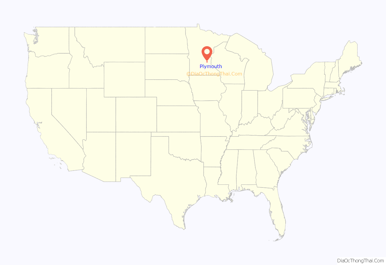
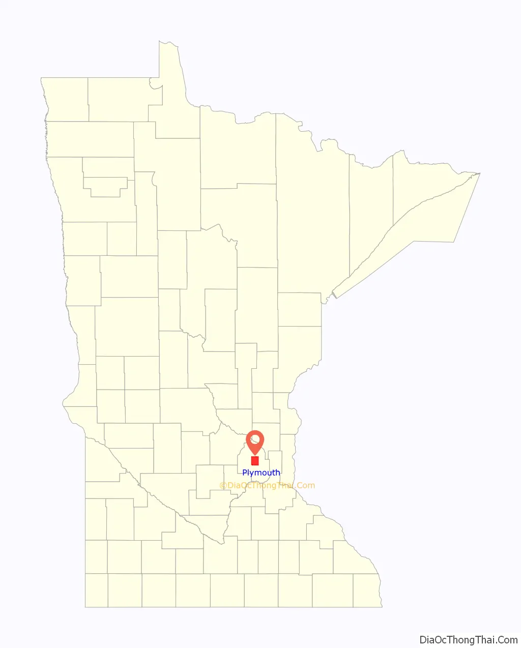
Plymouth is a city in Hennepin County in the U.S. state of Minnesota. A suburb in the Minneapolis–Saint Paul metropolitan area, the city is about 10 miles (16 km) west of downtown Minneapolis.The population was 81,026 at the 2020 census, making it Minnesota’s 7th-largest city.
| Name: | Plymouth city |
|---|---|
| LSAD Code: | 25 |
| LSAD Description: | city (suffix) |
| State: | Minnesota |
| County: | Hennepin County |
| Elevation: | 971 ft (296 m) |
| Land Area: | 32.71 sq mi (84.72 km²) |
| Water Area: | 2.57 sq mi (6.66 km²) |
| Population Density: | 2,477.03/sq mi (956.38/km²) |
| ZIP code: | 55441, 55442, 55446, 55447 |
| Area code: | 763 |
| FIPS code: | 2751730 |
| GNISfeature ID: | 0649598 |
| Website: | plymouthmn.gov |
Online Interactive Map
Click on ![]() to view map in "full screen" mode.
to view map in "full screen" mode.
Plymouth location map. Where is Plymouth city?
History
Plymouth’s history can be traced to the pre-Columbian period around 1400 to 1500 AD. The original inhabitants were the Dakota. Their encampment was at the north end of Medicine Lake. The name Medicine Lake is derived from the Dakota word Mdewakanton, meaning “Lake of the Spirit.” The Dakota named the lake after a warrior overturned his canoe and his body was never recovered.
Antoine LeCounte, a guide and explorer, was the first settler in this area. He arrived in 1848, but did not settle until 1852. He carried mail from the Red River of the North to points south, trading goods to Native Americans for horses on the way. LeCounte built the first cabin at what is now East Medicine Lake Boulevard at 29th Avenue North.
Plymouth’s beginning as a town occurred in 1855 on the northwest shores of what is now known as Parkers Lake. A gristmill and other structures were built in the area. In the spring of 1857, when Parkers Lake flooded, the mill was taken down and moved to Wayzata.
As new settlers arrived in the area, they organized. The Hennepin County Board of Commissioners named the new settlement Plymouth. On April 19, 1858, a group of townspeople met at Francis Day’s home to open elections for town offices. On May 11, 1858, the group voted to change the town’s name to Medicine Lake. This was used once at the town meeting, but for reasons not recorded, it was never used again.
During the Dakota War of 1862 between white settlers and the Dakota at Fort Ridgely, near New Ulm, the settlers of Plymouth formed a militia. When the Civil War started, Plymouth paid its volunteers $25 to enlist. About this time, schools and churches were built and a post office was in Plymouth. By 1863, hotels were being built, with Medicine Lake becoming a local tourist destination.
By 1880, Plymouth had a population of 1,074. Farming was the city’s dominant profession and remained so until the mid-1900s. Roads were built across Plymouth, providing access to other towns.
As the community’s character evolved from rural to suburban, so did local government. Plymouth incorporated as a village on May 18, 1955. The city adopted the Council–Manager form of government on August 1, 1968. Plymouth became a statutory city on February 7, 1974. It remained a statutory city until voters made it a home rule charter city by adopting a City Charter on November 3, 1992.
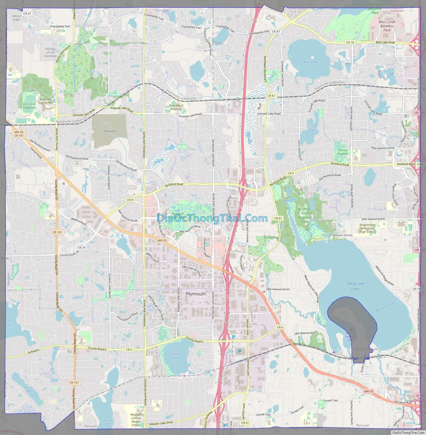
Plymouth Road Map
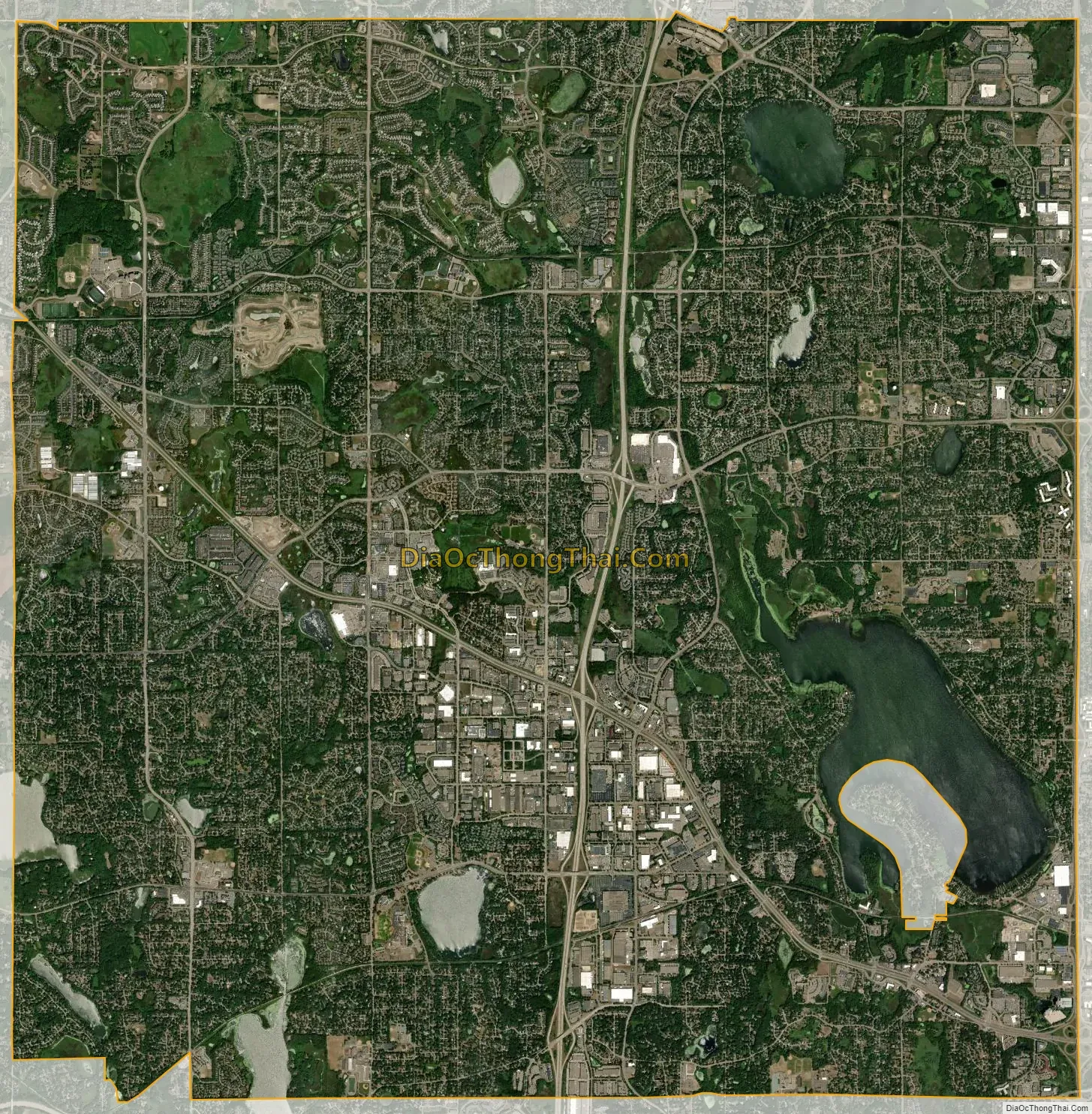
Plymouth city Satellite Map
Geography
According to the United States Census Bureau, the city has an area of 35.33 square miles (91.50 km), of which 32.68 square miles (84.64 km) is land and 2.65 square miles (6.86 km) is water.
Interstate 494, U.S. Highway 169, and Minnesota State Highway 55 are three of the main routes in the city. Plymouth has 863 cul-de-sacs and 300 miles of city streets, which are maintained by the city’s public works crews.
Climate
Plymouth has a humid continental climate, typical of the Midwestern United States, with very cold winters, and relatively hot, often humid summer days. Summer daytime temperatures average 83 °F (28 °C), with a low of around 60 °F (15 °C), while winter temperatures average only 23 °F (-5 °C) and a low of 3 °F (-16 °C). The highest recorded temperature in Plymouth was 99 °F (37 °C) in 1964, and the lowest was -39 °F (-39.4 °C) in 1977. Rain falls throughout the year, with the highest concentration falling in the summer months, with June being the rainiest with 120.3 mm of rain.
See also
Map of Minnesota State and its subdivision:- Aitkin
- Anoka
- Becker
- Beltrami
- Benton
- Big Stone
- Blue Earth
- Brown
- Carlton
- Carver
- Cass
- Chippewa
- Chisago
- Clay
- Clearwater
- Cook
- Cottonwood
- Crow Wing
- Dakota
- Dodge
- Douglas
- Faribault
- Fillmore
- Freeborn
- Goodhue
- Grant
- Hennepin
- Houston
- Hubbard
- Isanti
- Itasca
- Jackson
- Kanabec
- Kandiyohi
- Kittson
- Koochiching
- Lac qui Parle
- Lake
- Lake of the Woods
- Lake Superior
- Le Sueur
- Lincoln
- Lyon
- Mahnomen
- Marshall
- Martin
- McLeod
- Meeker
- Mille Lacs
- Morrison
- Mower
- Murray
- Nicollet
- Nobles
- Norman
- Olmsted
- Otter Tail
- Pennington
- Pine
- Pipestone
- Polk
- Pope
- Ramsey
- Red Lake
- Redwood
- Renville
- Rice
- Rock
- Roseau
- Saint Louis
- Scott
- Sherburne
- Sibley
- Stearns
- Steele
- Stevens
- Swift
- Todd
- Traverse
- Wabasha
- Wadena
- Waseca
- Washington
- Watonwan
- Wilkin
- Winona
- Wright
- Yellow Medicine
- Alabama
- Alaska
- Arizona
- Arkansas
- California
- Colorado
- Connecticut
- Delaware
- District of Columbia
- Florida
- Georgia
- Hawaii
- Idaho
- Illinois
- Indiana
- Iowa
- Kansas
- Kentucky
- Louisiana
- Maine
- Maryland
- Massachusetts
- Michigan
- Minnesota
- Mississippi
- Missouri
- Montana
- Nebraska
- Nevada
- New Hampshire
- New Jersey
- New Mexico
- New York
- North Carolina
- North Dakota
- Ohio
- Oklahoma
- Oregon
- Pennsylvania
- Rhode Island
- South Carolina
- South Dakota
- Tennessee
- Texas
- Utah
- Vermont
- Virginia
- Washington
- West Virginia
- Wisconsin
- Wyoming


