Scandia is a city in Washington County, Minnesota, United States. The population was 3,984 at the 2020 census. Scandia is 25 miles northeast of Saint Paul, Minnesota, and is part of the Twin Cities Metro Area.
| Name: | Scandia city |
|---|---|
| LSAD Code: | 25 |
| LSAD Description: | city (suffix) |
| State: | Minnesota |
| County: | Washington County |
| Elevation: | 1,040 ft (320 m) |
| Total Area: | 39.85 sq mi (103.22 km²) |
| Land Area: | 34.85 sq mi (90.27 km²) |
| Water Area: | 5.00 sq mi (12.95 km²) |
| Total Population: | 3,984 |
| Population Density: | 114.31/sq mi (44.14/km²) |
| ZIP code: | 55073 |
| Area code: | 651 |
| FIPS code: | 2758900 |
| GNISfeature ID: | 2396548 |
| Website: | cityofscandia.com |
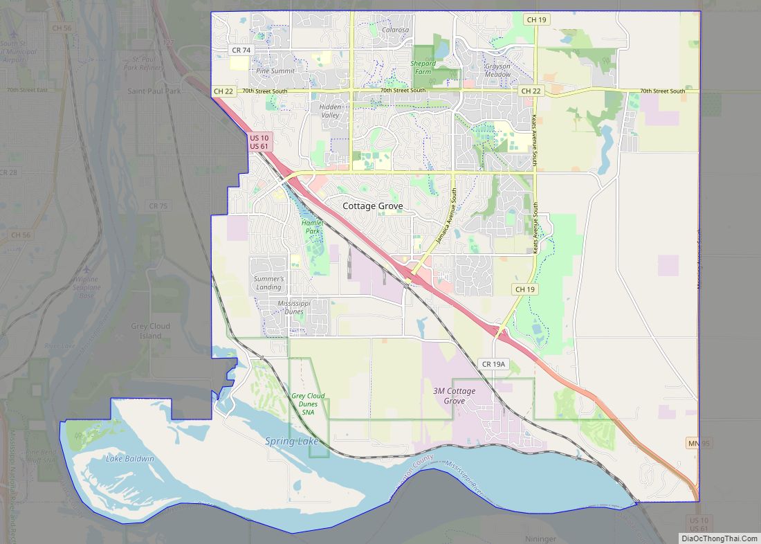
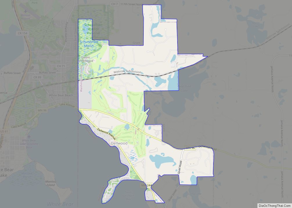
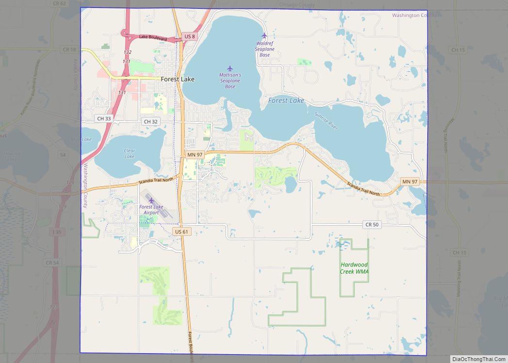
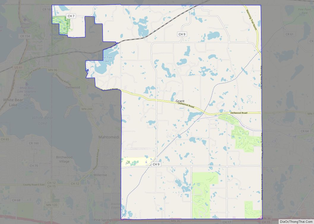
Online Interactive Map
Click on ![]() to view map in "full screen" mode.
to view map in "full screen" mode.
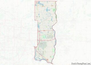
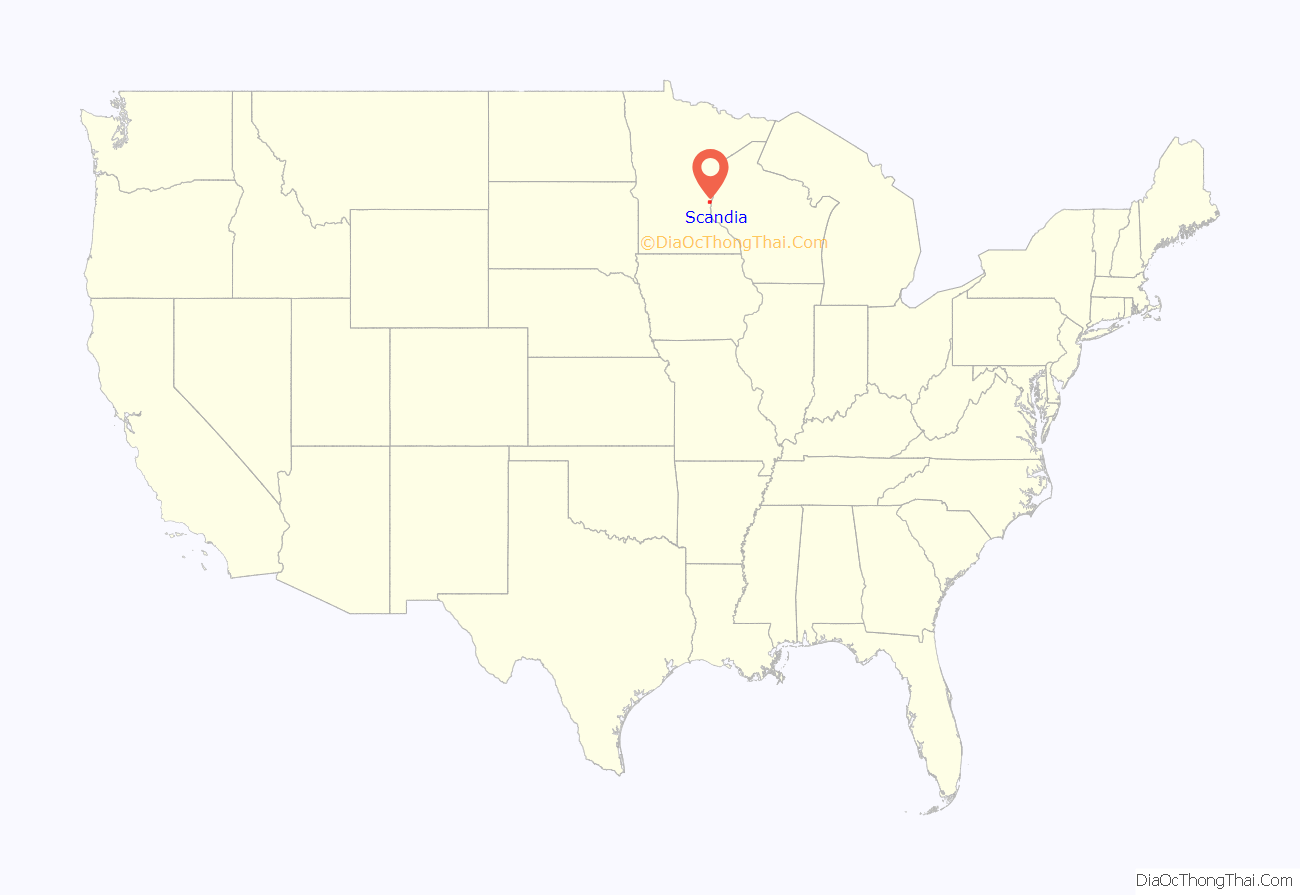
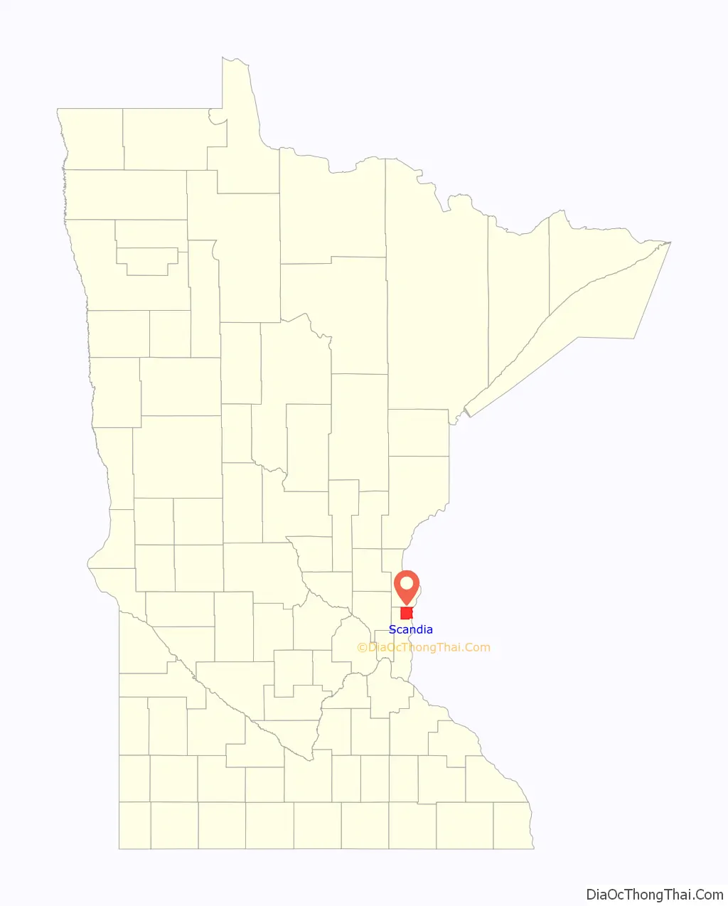
Scandia location map. Where is Scandia city?
History
As evidenced by the town’s name, Scandia has a rich Scandinavian heritage. It is the site of what is believed to have been Minnesota’s first Swedish immigrant settlement. In 1850, the first log cabin was built on the shores of Hay Lake. The first sanctuary of Elim Lutheran Church was built in 1856 on a site near Hay Lake.
After many years as New Scandia Township, Scandia became a city on January 1, 2007, to allay concerns that the community could be annexed by the nearby city of Forest Lake. The city is served by a weekly newspaper, the Country Messenger.
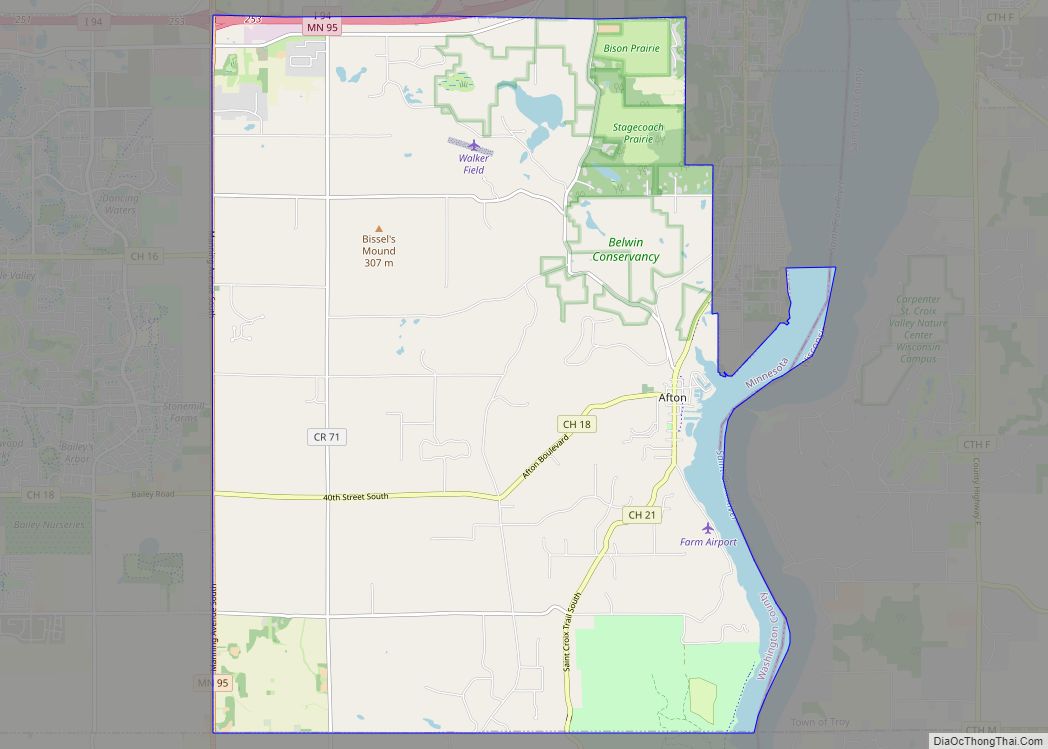
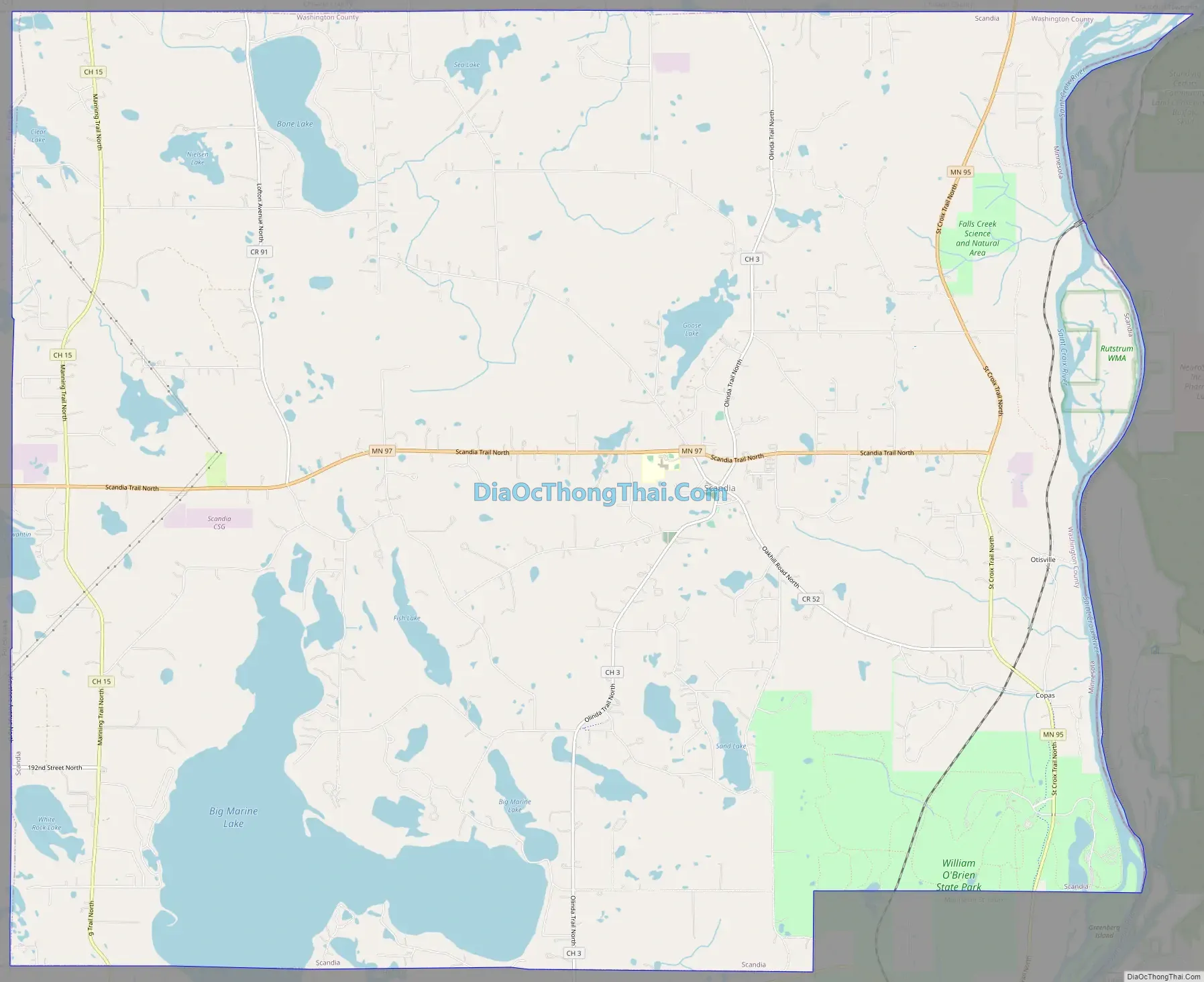
Scandia Road Map
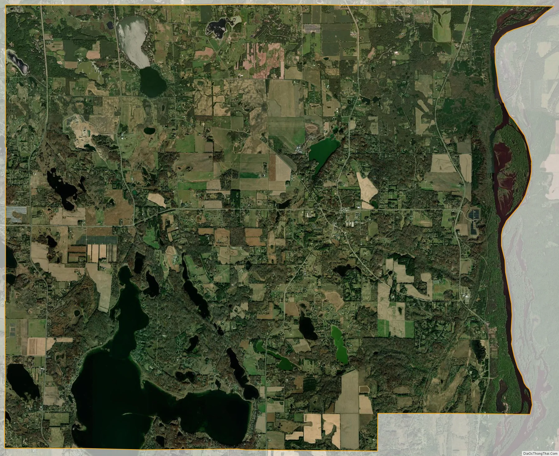
Scandia city Satellite Map
Geography
According to the United States Census Bureau, the city has an area of 39.82 square miles (103.13 km); 34.80 square miles (90.13 km) is land and 5.02 square miles (13.00 km) is water. Scandia is halfway between Stillwater and Taylors Falls along the St. Croix River. It is close to William O’Brien State Park. State Highways 95 and 97 are two of the main routes in the community.
See also
Map of Minnesota State and its subdivision:- Aitkin
- Anoka
- Becker
- Beltrami
- Benton
- Big Stone
- Blue Earth
- Brown
- Carlton
- Carver
- Cass
- Chippewa
- Chisago
- Clay
- Clearwater
- Cook
- Cottonwood
- Crow Wing
- Dakota
- Dodge
- Douglas
- Faribault
- Fillmore
- Freeborn
- Goodhue
- Grant
- Hennepin
- Houston
- Hubbard
- Isanti
- Itasca
- Jackson
- Kanabec
- Kandiyohi
- Kittson
- Koochiching
- Lac qui Parle
- Lake
- Lake of the Woods
- Lake Superior
- Le Sueur
- Lincoln
- Lyon
- Mahnomen
- Marshall
- Martin
- McLeod
- Meeker
- Mille Lacs
- Morrison
- Mower
- Murray
- Nicollet
- Nobles
- Norman
- Olmsted
- Otter Tail
- Pennington
- Pine
- Pipestone
- Polk
- Pope
- Ramsey
- Red Lake
- Redwood
- Renville
- Rice
- Rock
- Roseau
- Saint Louis
- Scott
- Sherburne
- Sibley
- Stearns
- Steele
- Stevens
- Swift
- Todd
- Traverse
- Wabasha
- Wadena
- Waseca
- Washington
- Watonwan
- Wilkin
- Winona
- Wright
- Yellow Medicine
- Alabama
- Alaska
- Arizona
- Arkansas
- California
- Colorado
- Connecticut
- Delaware
- District of Columbia
- Florida
- Georgia
- Hawaii
- Idaho
- Illinois
- Indiana
- Iowa
- Kansas
- Kentucky
- Louisiana
- Maine
- Maryland
- Massachusetts
- Michigan
- Minnesota
- Mississippi
- Missouri
- Montana
- Nebraska
- Nevada
- New Hampshire
- New Jersey
- New Mexico
- New York
- North Carolina
- North Dakota
- Ohio
- Oklahoma
- Oregon
- Pennsylvania
- Rhode Island
- South Carolina
- South Dakota
- Tennessee
- Texas
- Utah
- Vermont
- Virginia
- Washington
- West Virginia
- Wisconsin
- Wyoming