Dunn is the largest city of Harnett County, North Carolina, United States. The population was 9,263 at the 2010 census, and an estimated 9,718 in 2018. It is the anchor city of the Dunn Micropolitan Area, population 114,678 (2010 census), which consists of Harnett County and is a part of the greater Raleigh–Durham–Cary Combined Statistical Area (CSA) as defined by the United States Census Bureau.
| Name: | Dunn city |
|---|---|
| LSAD Code: | 25 |
| LSAD Description: | city (suffix) |
| State: | North Carolina |
| County: | Harnett County |
| Elevation: | 207 ft (63 m) |
| Total Area: | 6.99 sq mi (18.10 km²) |
| Land Area: | 6.98 sq mi (18.08 km²) |
| Water Area: | 0.01 sq mi (0.02 km²) |
| Total Population: | 8,446 |
| Population Density: | 1,209.86/sq mi (467.14/km²) |
| ZIP code: | 28334-28335 |
| FIPS code: | 3718320 |
| GNISfeature ID: | 1020051 |
| Website: | www.dunn-nc.org |
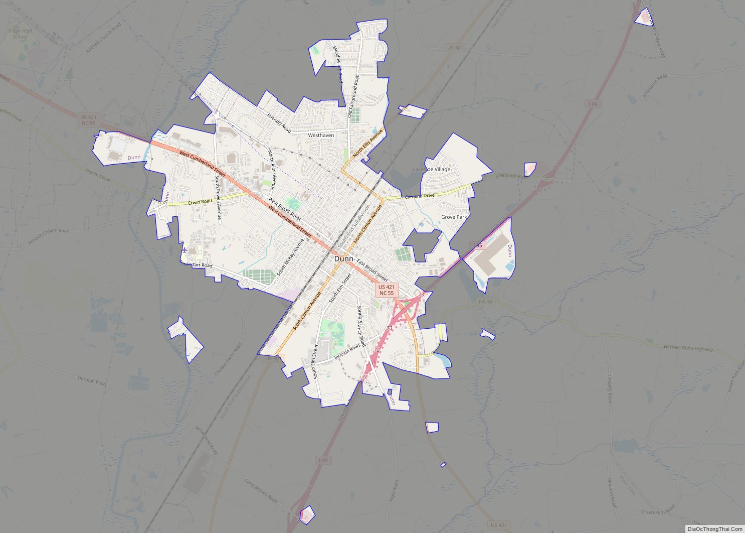
Online Interactive Map
Click on ![]() to view map in "full screen" mode.
to view map in "full screen" mode.
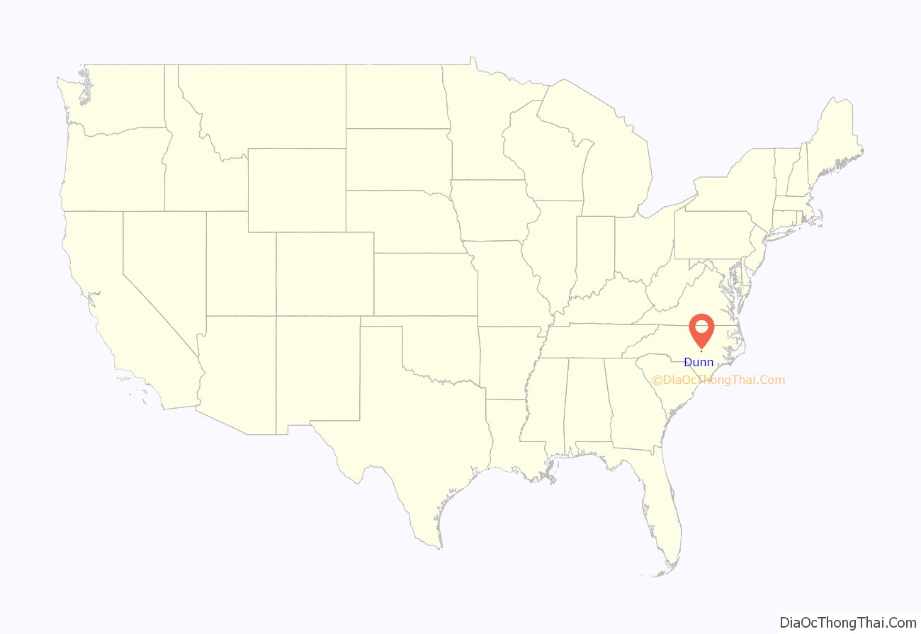
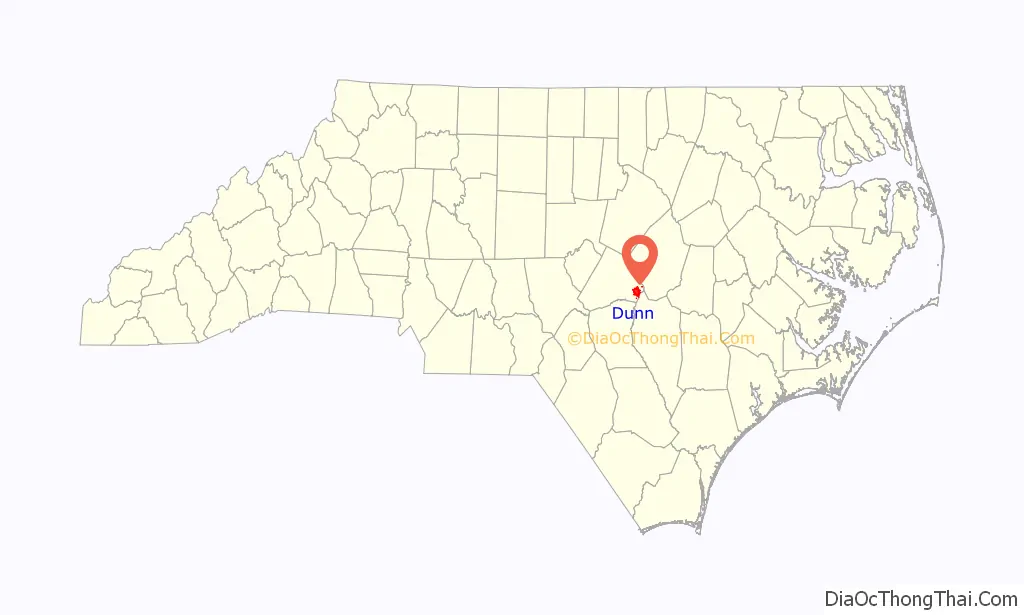
Dunn location map. Where is Dunn city?
History
Originally called “Lucknow”, what would become present-day Dunn was a sleepy hamlet compared to Averasborough, a much larger city on the Cape Fear River. After the Battle of Averasborough in 1865, most residents from Averasborough left for Lucknow, renamed “Dunn” in 1873.
The city of Dunn was incorporated on February 12, 1887, at which time it was a logging town and a turpentine distilling center. The name honors Bennett Dunn, who supervised the construction of the railway line between Wilson and Fayetteville.
The Dunn Commercial Historic District, Harnett County Training School, Kenneth L. Howard House, Lebanon, Gen. William C. Lee House, John A. McKay House and Manufacturing Company, and John E. Wilson House are listed on the National Register of Historic Places.
The city’s former mayor, Oscar Harris, died when walking around the city. He was 80.
Dunn Road Map
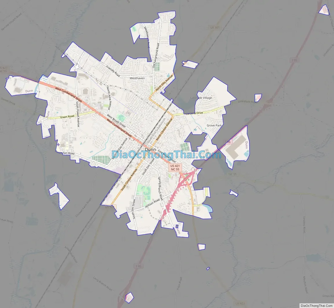
Dunn city Satellite Map

Geography
Dunn is located in eastern Harnett County at 35°18′37″N 78°36′39″W / 35.31028°N 78.61083°W / 35.31028; -78.61083 (35.310360, -78.610836). It is bordered to the west by the town of Erwin. U.S. Route 301 (Clinton Avenue) passes through the center of Dunn, leading northeast 6 miles (10 km) to Benson and southwest 25 miles (40 km) to Fayetteville. U.S. Route 421 (Cumberland Street) crosses US-301 in the center of Dunn, leading northwest through Erwin 15 miles (24 km) to Lillington, the county seat, and southeast 28 miles (45 km) to Clinton. Interstate 95 passes through the eastern side of Dunn, with access from Exits 72 and 73. I-95 leads northeast 50 miles (80 km) to the Wilson area and southwest to the Fayetteville area.
According to the United States Census Bureau, the city of Dunn has a total area of 6.5 square miles (16.8 km), all land.
See also
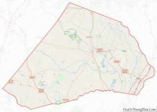
Map of North Carolina State and its subdivision:- Alamance
- Alexander
- Alleghany
- Anson
- Ashe
- Avery
- Beaufort
- Bertie
- Bladen
- Brunswick
- Buncombe
- Burke
- Cabarrus
- Caldwell
- Camden
- Carteret
- Caswell
- Catawba
- Chatham
- Cherokee
- Chowan
- Clay
- Cleveland
- Columbus
- Craven
- Cumberland
- Currituck
- Dare
- Davidson
- Davie
- Duplin
- Durham
- Edgecombe
- Forsyth
- Franklin
- Gaston
- Gates
- Graham
- Granville
- Greene
- Guilford
- Halifax
- Harnett
- Haywood
- Henderson
- Hertford
- Hoke
- Hyde
- Iredell
- Jackson
- Johnston
- Jones
- Lee
- Lenoir
- Lincoln
- Macon
- Madison
- Martin
- McDowell
- Mecklenburg
- Mitchell
- Montgomery
- Moore
- Nash
- New Hanover
- Northampton
- Onslow
- Orange
- Pamlico
- Pasquotank
- Pender
- Perquimans
- Person
- Pitt
- Polk
- Randolph
- Richmond
- Robeson
- Rockingham
- Rowan
- Rutherford
- Sampson
- Scotland
- Stanly
- Stokes
- Surry
- Swain
- Transylvania
- Tyrrell
- Union
- Vance
- Wake
- Warren
- Washington
- Watauga
- Wayne
- Wilkes
- Wilson
- Yadkin
- Yancey
- Alabama
- Alaska
- Arizona
- Arkansas
- California
- Colorado
- Connecticut
- Delaware
- District of Columbia
- Florida
- Georgia
- Hawaii
- Idaho
- Illinois
- Indiana
- Iowa
- Kansas
- Kentucky
- Louisiana
- Maine
- Maryland
- Massachusetts
- Michigan
- Minnesota
- Mississippi
- Missouri
- Montana
- Nebraska
- Nevada
- New Hampshire
- New Jersey
- New Mexico
- New York
- North Carolina
- North Dakota
- Ohio
- Oklahoma
- Oregon
- Pennsylvania
- Rhode Island
- South Carolina
- South Dakota
- Tennessee
- Texas
- Utah
- Vermont
- Virginia
- Washington
- West Virginia
- Wisconsin
- Wyoming