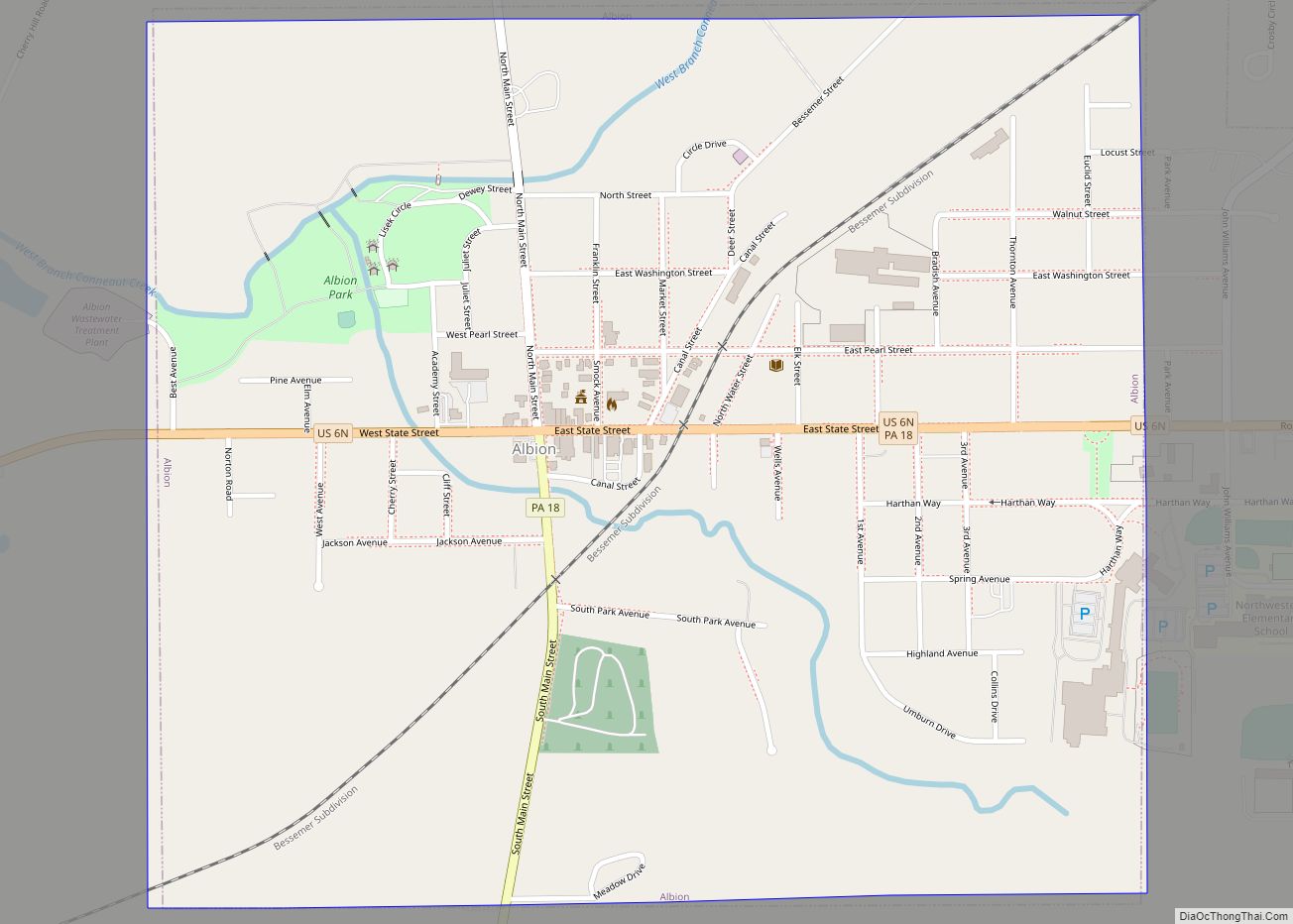
Albion is a borough in Erie County, Pennsylvania, United States. The population was 1,516 at the 2010 census. It is part of the Erie Metropolitan Statistical Area. One of their main industries is the Albion State Correctional Institute (SCI Albion).
The town was ravaged by an F4 tornado that was part of the 1985 United States-Canada tornado outbreak on May 31, 1985.
| Name: | Albion borough |
|---|---|
| LSAD Code: | 21 |
| LSAD Description: | borough (suffix) |
| State: | Pennsylvania |
| County: | Erie County |
| Total Area: | 1.09 sq mi (2.83 km²) |
| Land Area: | 1.08 sq mi (2.79 km²) |
| Water Area: | 0.01 sq mi (0.04 km²) |
| Total Population: | 1,528 |
| Population Density: | 1,417.44/sq mi (547.09/km²) |
| ZIP code: | 16401 |
| Area code: | 814 |
| FIPS code: | 4200628 |
| Website: | albionborough.org |
Online Interactive Map
Click on ![]() to view map in "full screen" mode.
to view map in "full screen" mode.
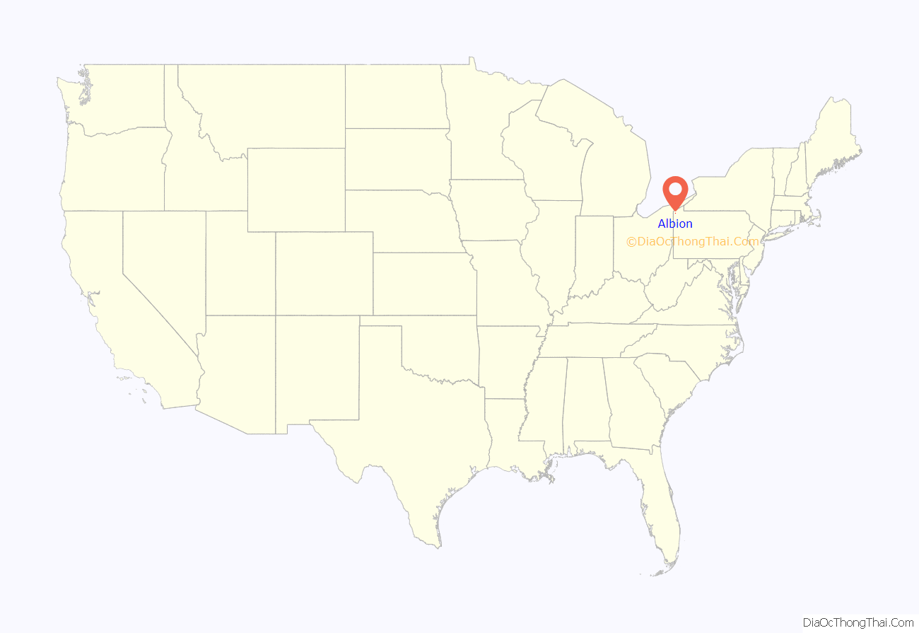
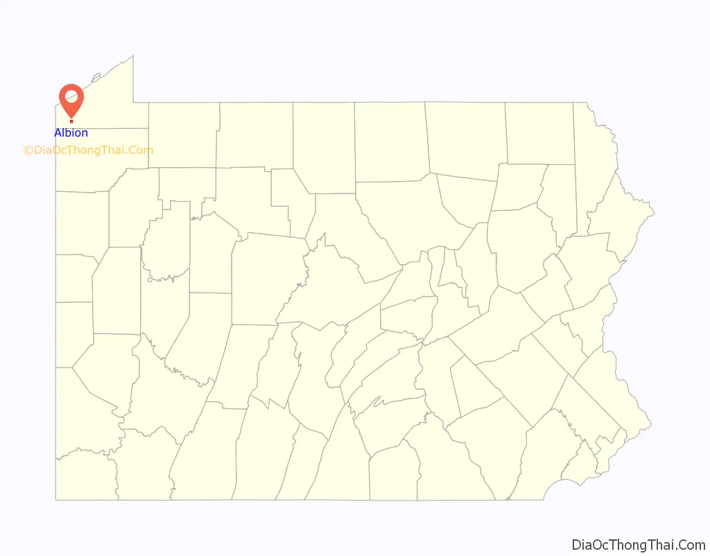
Albion location map. Where is Albion borough?
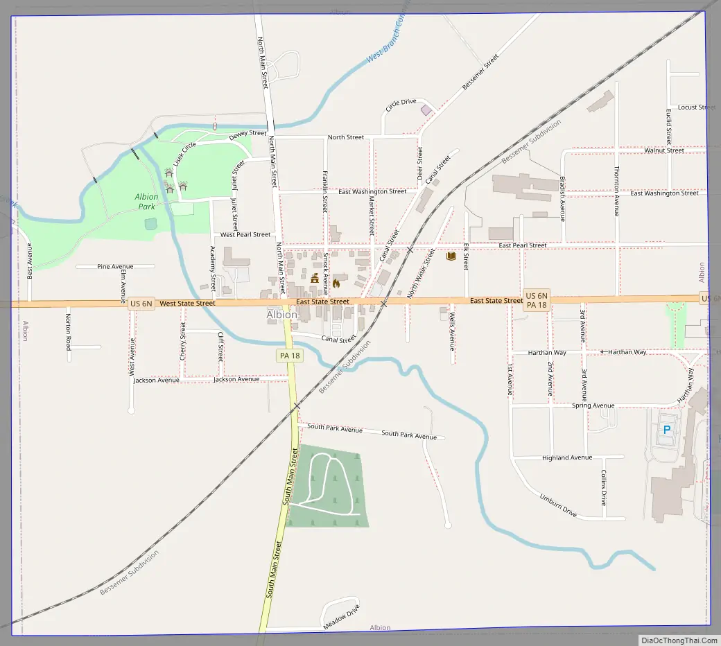
Albion Road Map
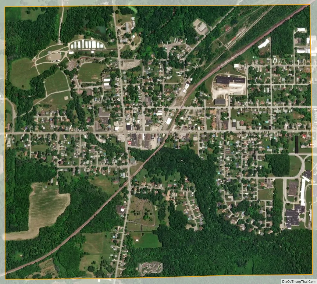
Albion city Satellite Map
Geography
Albion is located in southwestern Erie County and is surrounded by Conneaut Township. According to the United States Census Bureau, the borough has a total area of 1.1 square miles (2.8 km), of which 0.02 square miles (0.04 km), or 1.27%, is water.
U.S. Route 6N and Pennsylvania Route 18 pass through the center of Albion. US 6N leads east 12 miles (19 km) to Edinboro and west then north 8 miles (13 km) to West Springfield and Interstate 90. PA 18 leads east out of Albion with US 6N but turns north to Cranesville, a total of 2 miles (3 km) northeast of Albion. In the other direction, PA 18 leads south 22 miles (35 km) to Conneaut Lake. The city of Erie is 28 miles (45 km) northeast via PA 18, Interstate 90, and Interstate 79.
See also
Map of Pennsylvania State and its subdivision:- Adams
- Allegheny
- Armstrong
- Beaver
- Bedford
- Berks
- Blair
- Bradford
- Bucks
- Butler
- Cambria
- Cameron
- Carbon
- Centre
- Chester
- Clarion
- Clearfield
- Clinton
- Columbia
- Crawford
- Cumberland
- Dauphin
- Delaware
- Elk
- Erie
- Fayette
- Forest
- Franklin
- Fulton
- Greene
- Huntingdon
- Indiana
- Jefferson
- Juniata
- Lackawanna
- Lancaster
- Lawrence
- Lebanon
- Lehigh
- Luzerne
- Lycoming
- Mc Kean
- Mercer
- Mifflin
- Monroe
- Montgomery
- Montour
- Northampton
- Northumberland
- Perry
- Philadelphia
- Pike
- Potter
- Schuylkill
- Snyder
- Somerset
- Sullivan
- Susquehanna
- Tioga
- Union
- Venango
- Warren
- Washington
- Wayne
- Westmoreland
- Wyoming
- York
- Alabama
- Alaska
- Arizona
- Arkansas
- California
- Colorado
- Connecticut
- Delaware
- District of Columbia
- Florida
- Georgia
- Hawaii
- Idaho
- Illinois
- Indiana
- Iowa
- Kansas
- Kentucky
- Louisiana
- Maine
- Maryland
- Massachusetts
- Michigan
- Minnesota
- Mississippi
- Missouri
- Montana
- Nebraska
- Nevada
- New Hampshire
- New Jersey
- New Mexico
- New York
- North Carolina
- North Dakota
- Ohio
- Oklahoma
- Oregon
- Pennsylvania
- Rhode Island
- South Carolina
- South Dakota
- Tennessee
- Texas
- Utah
- Vermont
- Virginia
- Washington
- West Virginia
- Wisconsin
- Wyoming