Girard is a borough in Erie County, Pennsylvania, United States. The population was 2,994 at the 2020 census. It is part of the Erie Metropolitan Statistical Area.
| Name: | Girard borough |
|---|---|
| LSAD Code: | 21 |
| LSAD Description: | borough (suffix) |
| State: | Pennsylvania |
| County: | Erie County |
| Total Area: | 2.36 sq mi (6.12 km²) |
| Land Area: | 2.34 sq mi (6.07 km²) |
| Water Area: | 0.02 sq mi (0.05 km²) |
| Total Population: | 2,993 |
| Population Density: | 1,276.88/sq mi (493.11/km²) |
| ZIP code: | 16417 |
| Area code: | 814 |
| FIPS code: | 4229232 |
| Website: | girardboroughpa.us |
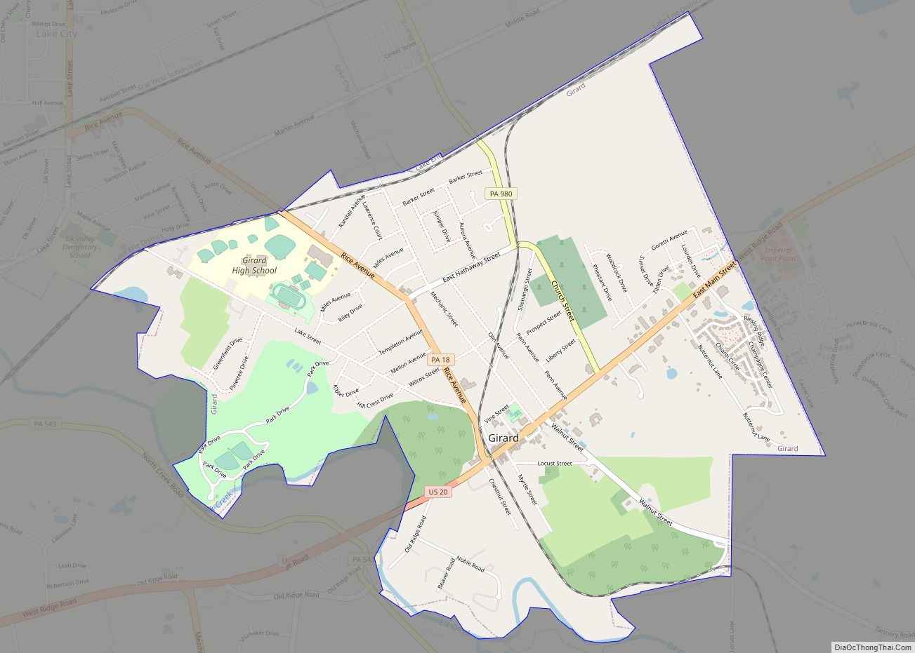
Online Interactive Map
Click on ![]() to view map in "full screen" mode.
to view map in "full screen" mode.
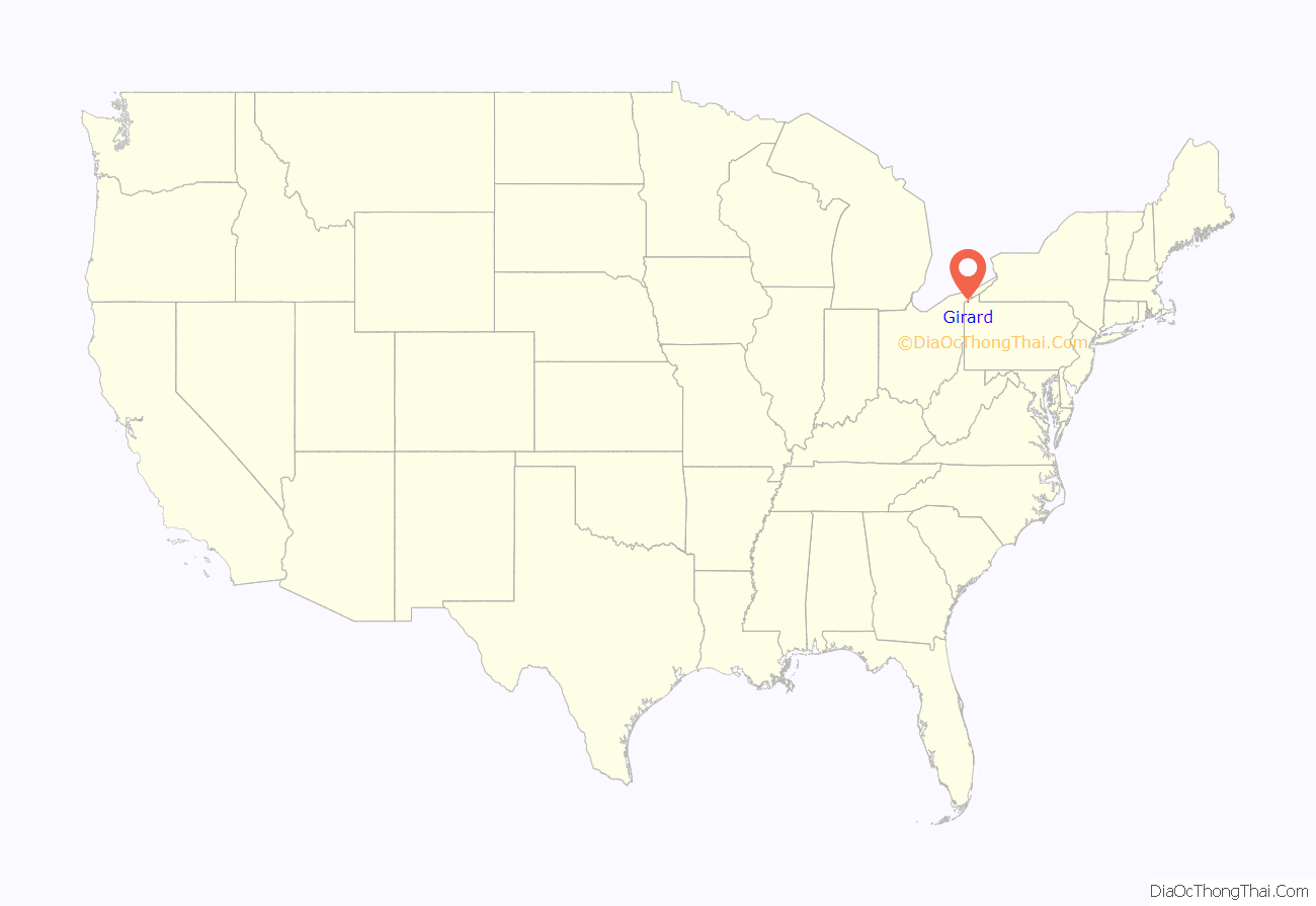
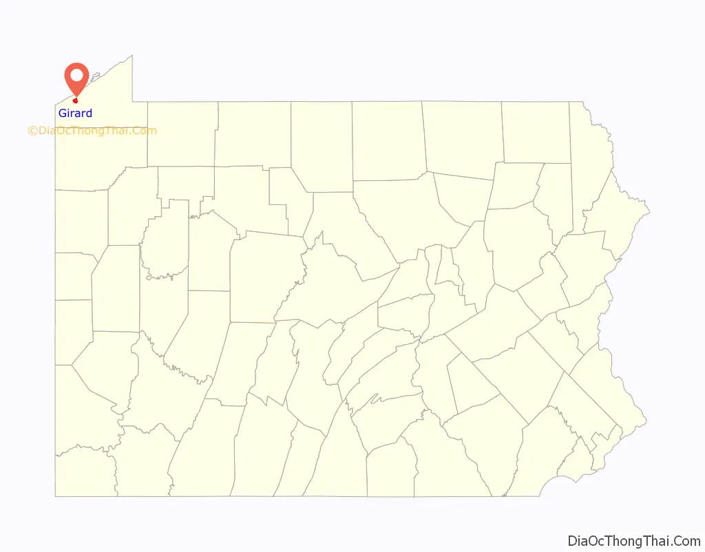
Girard location map. Where is Girard borough?
History
Girard’s history began with a petition to “Township Status” in 1832 by reassigning lands previously allocated to neighboring municipalities (Springfield, Fairview, and Elk Creek). The name is in honor of Stephen Girard, a banking tycoon of the late 1700s and early 1800s. Stephen Girard, a resident of Philadelphia at that time, was chosen for a variety of reasons. He owned much of the neighboring Springfield Township, and had been admired by the residents in the region. Additionally, Girard officials had been lobbying with Stephen Girard’s foundation, upon his death in 1831, to be the site of the bequeathed Girard College. Despite this attempt, his family and will executors chose to establish the boarding school in Philadelphia where Stephen Girard had a long-standing tradition as a local philanthropist.
Girard Road Map
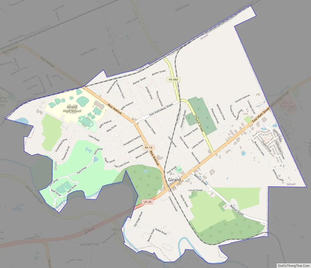
Girard city Satellite Map

Geography
Girard is located in western Erie County at 42°0′21″N 80°19′17″W / 42.00583°N 80.32139°W / 42.00583; -80.32139 (42.005954, -80.321481). It is bordered to the northwest by the borough of Lake City and on all other sides by Girard Township.
According to the United States Census Bureau, the borough has a total area of 2.4 square miles (6.1 km), of which 0.02 square miles (0.05 km), or 0.81%, is water. Elk Creek roughly follows the southwest border of the borough as it flows northwest to Lake Erie.
U.S. Route 20 passes through the borough as Main Street, leading northeast 4 miles (6 km) to Fairview and 15 miles (24 km) to Erie, and southwest 13 miles (21 km) to Conneaut, Ohio.
See also
Map of Pennsylvania State and its subdivision:- Adams
- Allegheny
- Armstrong
- Beaver
- Bedford
- Berks
- Blair
- Bradford
- Bucks
- Butler
- Cambria
- Cameron
- Carbon
- Centre
- Chester
- Clarion
- Clearfield
- Clinton
- Columbia
- Crawford
- Cumberland
- Dauphin
- Delaware
- Elk
- Erie
- Fayette
- Forest
- Franklin
- Fulton
- Greene
- Huntingdon
- Indiana
- Jefferson
- Juniata
- Lackawanna
- Lancaster
- Lawrence
- Lebanon
- Lehigh
- Luzerne
- Lycoming
- Mc Kean
- Mercer
- Mifflin
- Monroe
- Montgomery
- Montour
- Northampton
- Northumberland
- Perry
- Philadelphia
- Pike
- Potter
- Schuylkill
- Snyder
- Somerset
- Sullivan
- Susquehanna
- Tioga
- Union
- Venango
- Warren
- Washington
- Wayne
- Westmoreland
- Wyoming
- York
- Alabama
- Alaska
- Arizona
- Arkansas
- California
- Colorado
- Connecticut
- Delaware
- District of Columbia
- Florida
- Georgia
- Hawaii
- Idaho
- Illinois
- Indiana
- Iowa
- Kansas
- Kentucky
- Louisiana
- Maine
- Maryland
- Massachusetts
- Michigan
- Minnesota
- Mississippi
- Missouri
- Montana
- Nebraska
- Nevada
- New Hampshire
- New Jersey
- New Mexico
- New York
- North Carolina
- North Dakota
- Ohio
- Oklahoma
- Oregon
- Pennsylvania
- Rhode Island
- South Carolina
- South Dakota
- Tennessee
- Texas
- Utah
- Vermont
- Virginia
- Washington
- West Virginia
- Wisconsin
- Wyoming