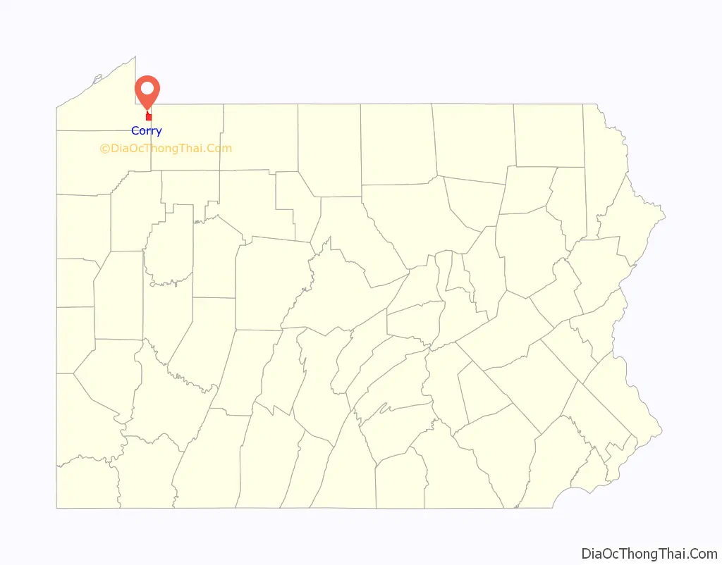
Corry is a city in northwestern Pennsylvania, United States. With a population of 6,217 at the 2020 United States Census, it is the second largest city in Erie County. Corry is a part of the Erie, PA Metropolitan Statistical Area. The city became famous in the late-19th and early-20th centuries for being the manufacturer of Climax locomotives.
| Name: | Corry city |
|---|---|
| LSAD Code: | 25 |
| LSAD Description: | city (suffix) |
| State: | Pennsylvania |
| County: | Erie County |
| Founded: | May 27, 1861 |
| Incorporated: | March 8, 1866 |
| Total Area: | 6.01 sq mi (15.56 km²) |
| Land Area: | 5.99 sq mi (15.52 km²) |
| Water Area: | 0.01 sq mi (0.04 km²) |
| Total Population: | 6,210 |
| Population Density: | 1,036.04/sq mi (400.03/km²) |
| ZIP code: | 16407 |
| Area code: | 814 |
| FIPS code: | 4216296 |
| Website: | www.corrypa.com |
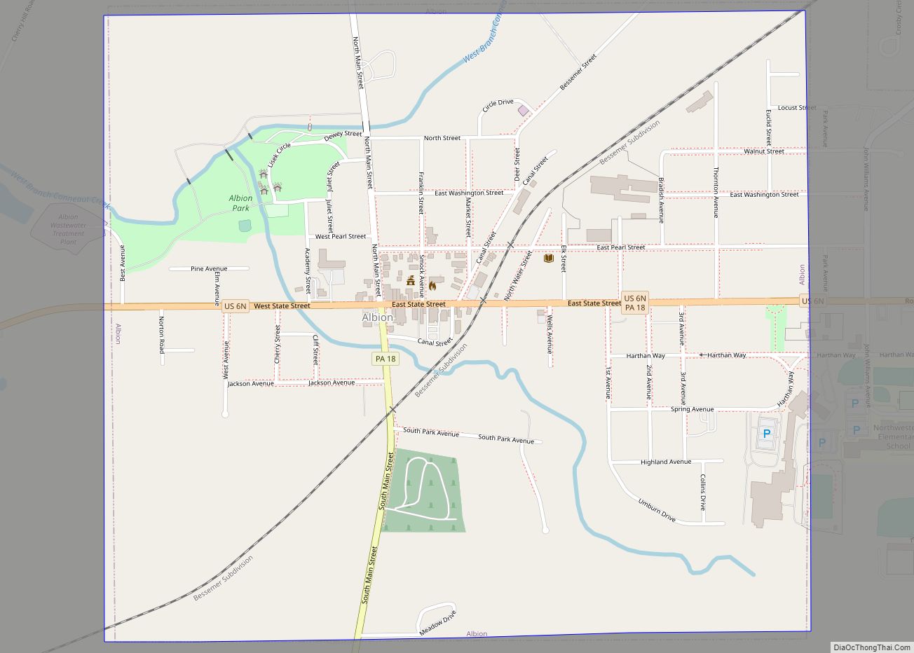
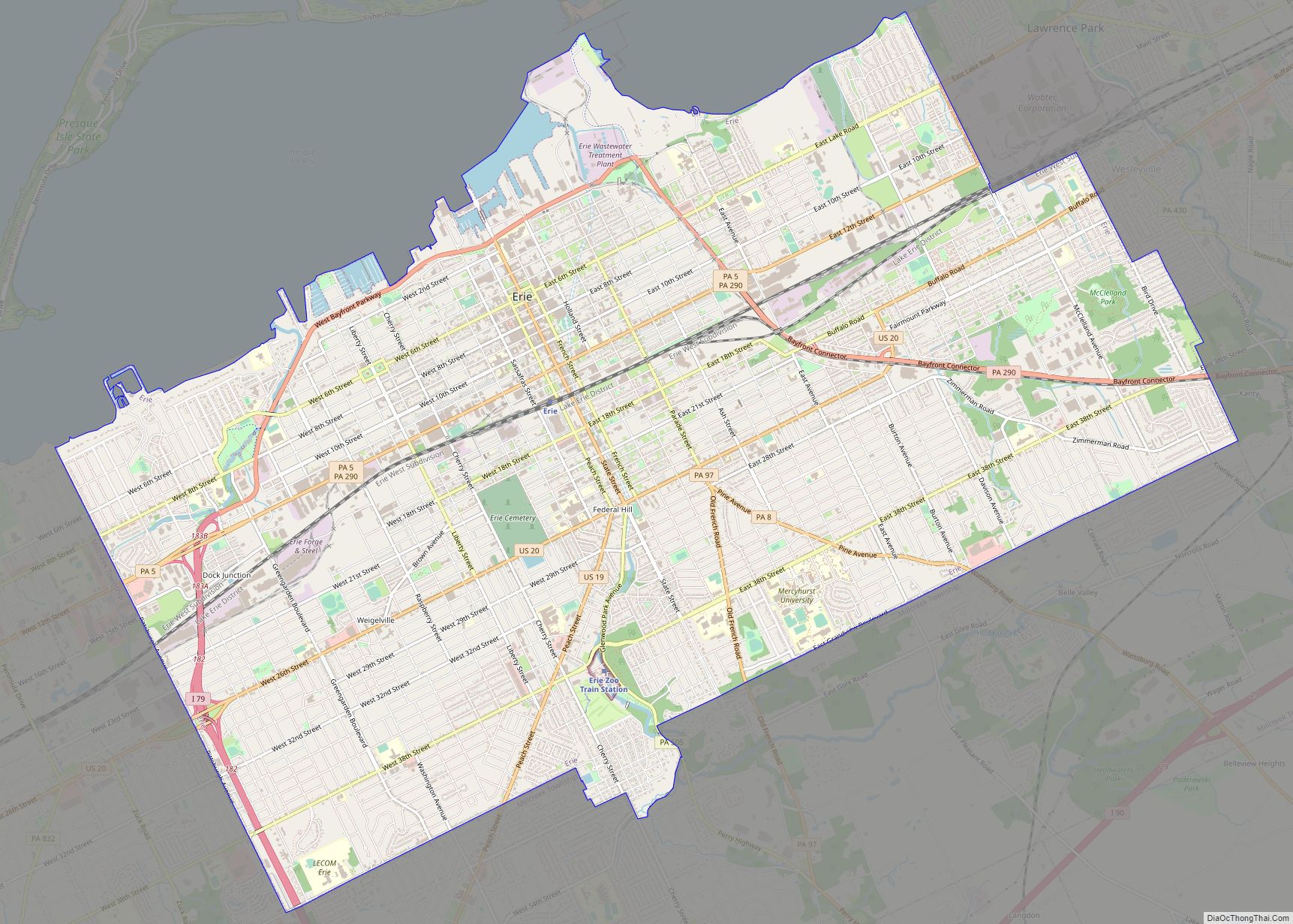
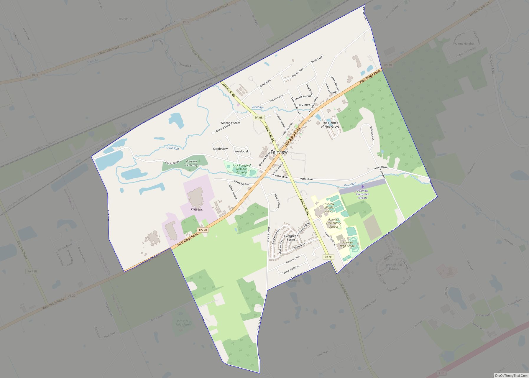
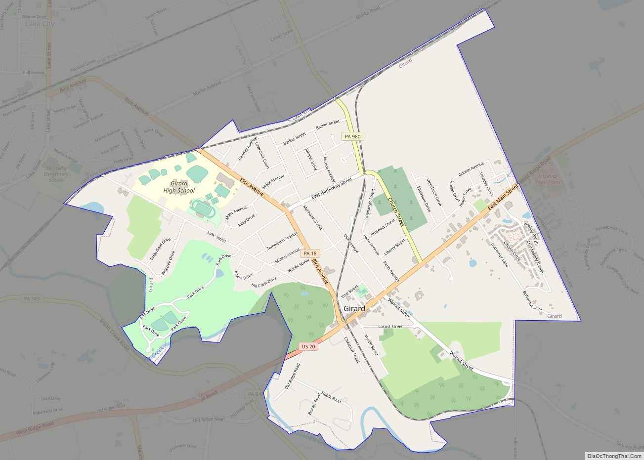
Online Interactive Map
Click on ![]() to view map in "full screen" mode.
to view map in "full screen" mode.
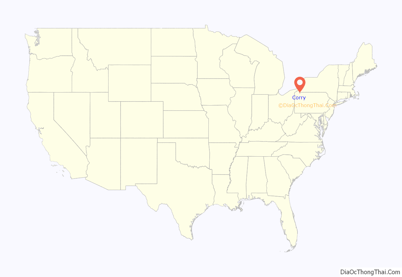
Corry location map. Where is Corry city?
History
Erie County was formed from parts of Allegheny County on March 12, 1800. On May 27, 1861, tracks owned by the Atlantic and Great Western Railroad intersected with those of the Sunbury and Erie Railroad and was called the “Atlantic and Erie Junction”. Land at the junction was owned by Hiram Cory, who sold a portion to the Atlantic and Great Western in October 1861. The railroad built a ticket office at the junction and named it for Cory, but through a misspelling it became Corry.
The combination of railroad growth and the discovery of oil in nearby Titusville contributed greatly to Corry’s development. This boomtown was chartered as a borough in 1863 and designated as a city in 1866. Industry has played a big part in Corry’s growth, and the Corry Area Historical Society maintains a museum where one of the Climax locomotives (the steam engine used in logging operations that brought fame to Corry) is on display.
Corry has been named a Tree City USA for seven consecutive years.
The Corry Armory was listed on the National Register of Historic Places in 1991.
Corry Road Map

Corry city Satellite Map

Geography
Corry is located at 41°55′30″N 79°38′26″W / 41.92500°N 79.64056°W / 41.92500; -79.64056 (41.924947, -79.640511). According to the United States Census Bureau, the city has a total area of 6.1 square miles (16 km), all land.
See also
Map of Pennsylvania State and its subdivision:- Adams
- Allegheny
- Armstrong
- Beaver
- Bedford
- Berks
- Blair
- Bradford
- Bucks
- Butler
- Cambria
- Cameron
- Carbon
- Centre
- Chester
- Clarion
- Clearfield
- Clinton
- Columbia
- Crawford
- Cumberland
- Dauphin
- Delaware
- Elk
- Erie
- Fayette
- Forest
- Franklin
- Fulton
- Greene
- Huntingdon
- Indiana
- Jefferson
- Juniata
- Lackawanna
- Lancaster
- Lawrence
- Lebanon
- Lehigh
- Luzerne
- Lycoming
- Mc Kean
- Mercer
- Mifflin
- Monroe
- Montgomery
- Montour
- Northampton
- Northumberland
- Perry
- Philadelphia
- Pike
- Potter
- Schuylkill
- Snyder
- Somerset
- Sullivan
- Susquehanna
- Tioga
- Union
- Venango
- Warren
- Washington
- Wayne
- Westmoreland
- Wyoming
- York
- Alabama
- Alaska
- Arizona
- Arkansas
- California
- Colorado
- Connecticut
- Delaware
- District of Columbia
- Florida
- Georgia
- Hawaii
- Idaho
- Illinois
- Indiana
- Iowa
- Kansas
- Kentucky
- Louisiana
- Maine
- Maryland
- Massachusetts
- Michigan
- Minnesota
- Mississippi
- Missouri
- Montana
- Nebraska
- Nevada
- New Hampshire
- New Jersey
- New Mexico
- New York
- North Carolina
- North Dakota
- Ohio
- Oklahoma
- Oregon
- Pennsylvania
- Rhode Island
- South Carolina
- South Dakota
- Tennessee
- Texas
- Utah
- Vermont
- Virginia
- Washington
- West Virginia
- Wisconsin
- Wyoming