Alburtis is a borough in Lehigh County, Pennsylvania. The borough’s population was 2,596 as of the 2020 census. It is a suburb of Allentown, the third largest city in Pennsylvania. It is part of the Lehigh Valley metropolitan area, which had a population of 861,899 and was the 68th-most populous metropolitan area in the U.S. as of the 2020 census.
| Name: | Alburtis borough |
|---|---|
| LSAD Code: | 21 |
| LSAD Description: | borough (suffix) |
| State: | Pennsylvania |
| County: | Lehigh County |
| Elevation: | 472 ft (144 m) |
| Land Area: | 0.71 sq mi (1.83 km²) |
| Water Area: | 0.00 sq mi (0.00 km²) |
| Population Density: | 3,671.85/sq mi (1,417.85/km²) |
| ZIP code: | 18011 |
| Area code: | 610 |
| FIPS code: | 4200660 |
| Website: | http://www.alburtis.org |
Online Interactive Map
Click on ![]() to view map in "full screen" mode.
to view map in "full screen" mode.
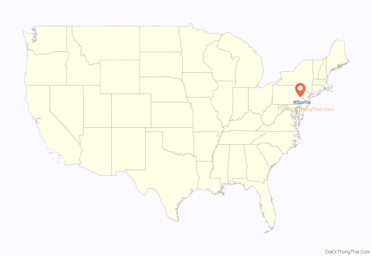
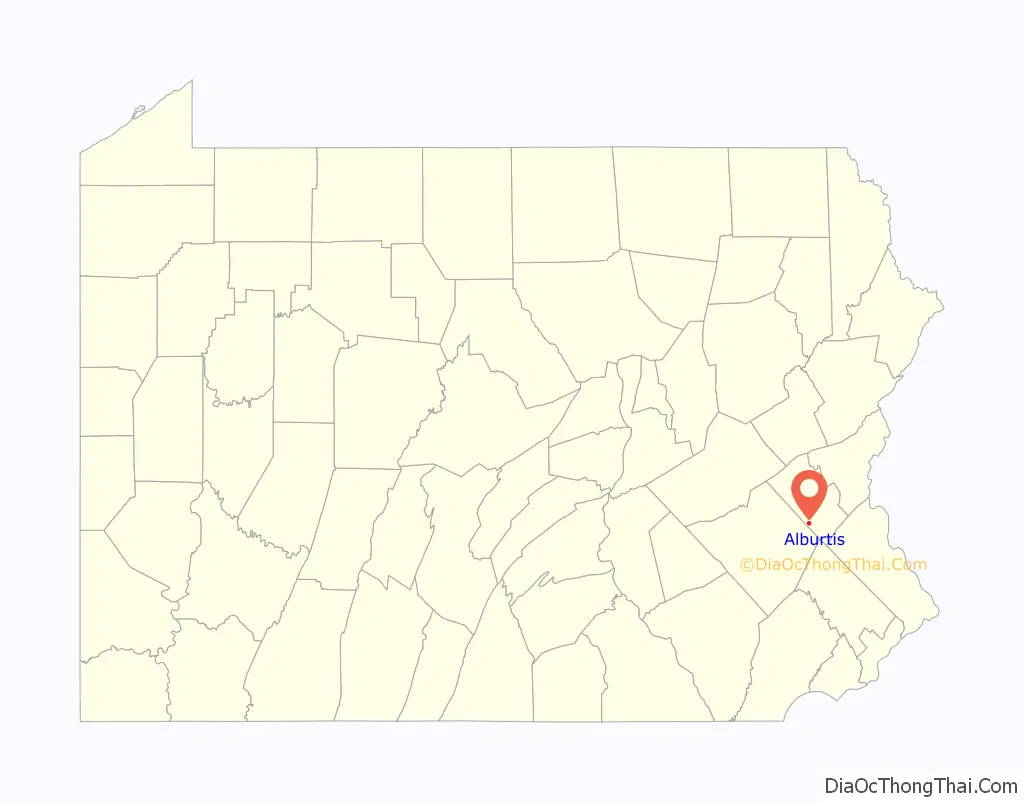
Alburtis location map. Where is Alburtis borough?
History
Alburtis was incorporated on May 9, 1913 by the merger of two villages, Alburtis and Lock Ridge, both of which were settled in the mid-1800s. Alburtis was named for Edward K. Alburtis, a civil engineer involved in the construction of the East Pennsylvania Branch of the Philadelphia and Reading Railway. When a railroad station was established in the village in 1859, the railroad’s board of directors named the town in his honor.
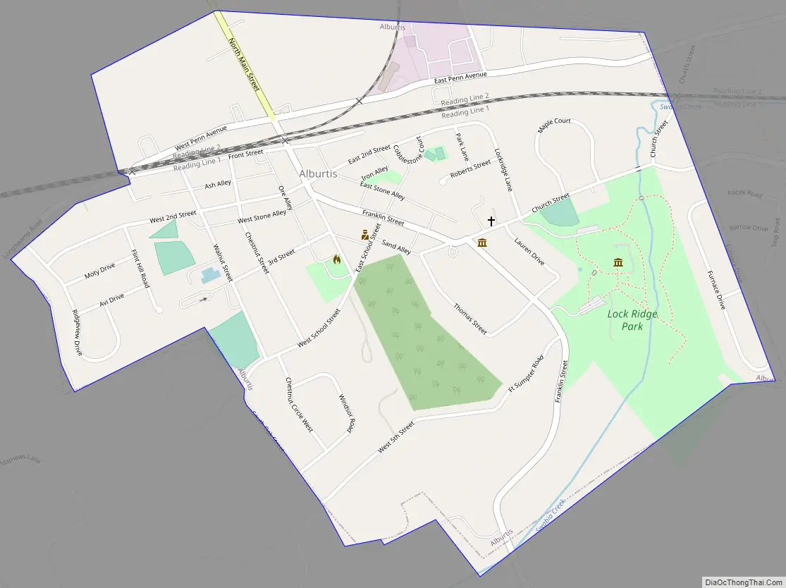
A tract adjacent to Alburtis was purchased by the Lockridge Iron Company for the construction of blast furnaces in the late 1860s. This area, which grew into a separate village, is known as Lock Ridge Park.
The Thomas Iron Company and George F. Schlicher Hotel, both in Alburtis, have been named to the National Register of Historic Places in recognition of their historical significance to the nation.
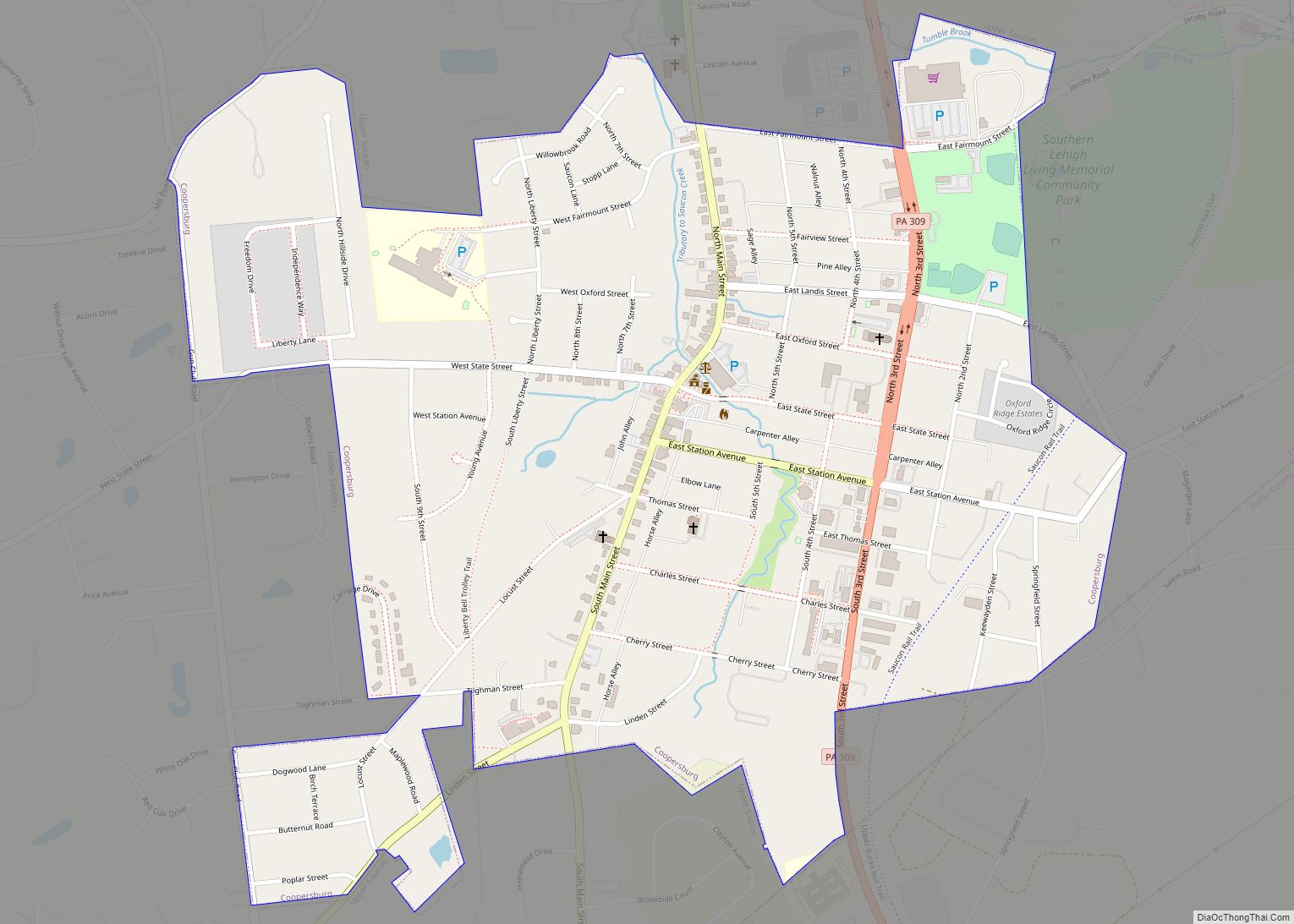
Alburtis Road Map
Alburtis city Satellite Map

Geography
According to the U.S. Census Bureau, the borough has a total area of 0.7 square miles (1.8 km), all land. The Alburtis ZIP Code (18011) comprises two separate areas stretching from south of Trexlertown into the district township in neighboring Berks County. Alburtis has a hot-summer humid continental climate (Dfa) and is in hardiness zone 6b. Average monthly temperatures range from 29.1°F in January to 73.6°F in July.
See also
Map of Pennsylvania State and its subdivision:- Adams
- Allegheny
- Armstrong
- Beaver
- Bedford
- Berks
- Blair
- Bradford
- Bucks
- Butler
- Cambria
- Cameron
- Carbon
- Centre
- Chester
- Clarion
- Clearfield
- Clinton
- Columbia
- Crawford
- Cumberland
- Dauphin
- Delaware
- Elk
- Erie
- Fayette
- Forest
- Franklin
- Fulton
- Greene
- Huntingdon
- Indiana
- Jefferson
- Juniata
- Lackawanna
- Lancaster
- Lawrence
- Lebanon
- Lehigh
- Luzerne
- Lycoming
- Mc Kean
- Mercer
- Mifflin
- Monroe
- Montgomery
- Montour
- Northampton
- Northumberland
- Perry
- Philadelphia
- Pike
- Potter
- Schuylkill
- Snyder
- Somerset
- Sullivan
- Susquehanna
- Tioga
- Union
- Venango
- Warren
- Washington
- Wayne
- Westmoreland
- Wyoming
- York
- Alabama
- Alaska
- Arizona
- Arkansas
- California
- Colorado
- Connecticut
- Delaware
- District of Columbia
- Florida
- Georgia
- Hawaii
- Idaho
- Illinois
- Indiana
- Iowa
- Kansas
- Kentucky
- Louisiana
- Maine
- Maryland
- Massachusetts
- Michigan
- Minnesota
- Mississippi
- Missouri
- Montana
- Nebraska
- Nevada
- New Hampshire
- New Jersey
- New Mexico
- New York
- North Carolina
- North Dakota
- Ohio
- Oklahoma
- Oregon
- Pennsylvania
- Rhode Island
- South Carolina
- South Dakota
- Tennessee
- Texas
- Utah
- Vermont
- Virginia
- Washington
- West Virginia
- Wisconsin
- Wyoming