Almedia is a census-designated place (CDP) in Columbia County, Pennsylvania, United States. It is part of Northeastern Pennsylvania. The population was 1,078 at the 2010 census. It is part of the Bloomsburg-Berwick micropolitan area.
| Name: | Almedia CDP |
|---|---|
| LSAD Code: | 57 |
| LSAD Description: | CDP (suffix) |
| State: | Pennsylvania |
| County: | Columbia County |
| Elevation: | 505 ft (154 m) |
| Total Area: | 0.93 sq mi (2.42 km²) |
| Land Area: | 0.70 sq mi (1.82 km²) |
| Water Area: | 0.23 sq mi (0.60 km²) |
| Total Population: | 1,040 |
| Population Density: | 1,483.59/sq mi (572.79/km²) |
| ZIP code: | 17815 |
| FIPS code: | 4202088 |
| GNISfeature ID: | 1168216 |
Online Interactive Map
Click on ![]() to view map in "full screen" mode.
to view map in "full screen" mode.
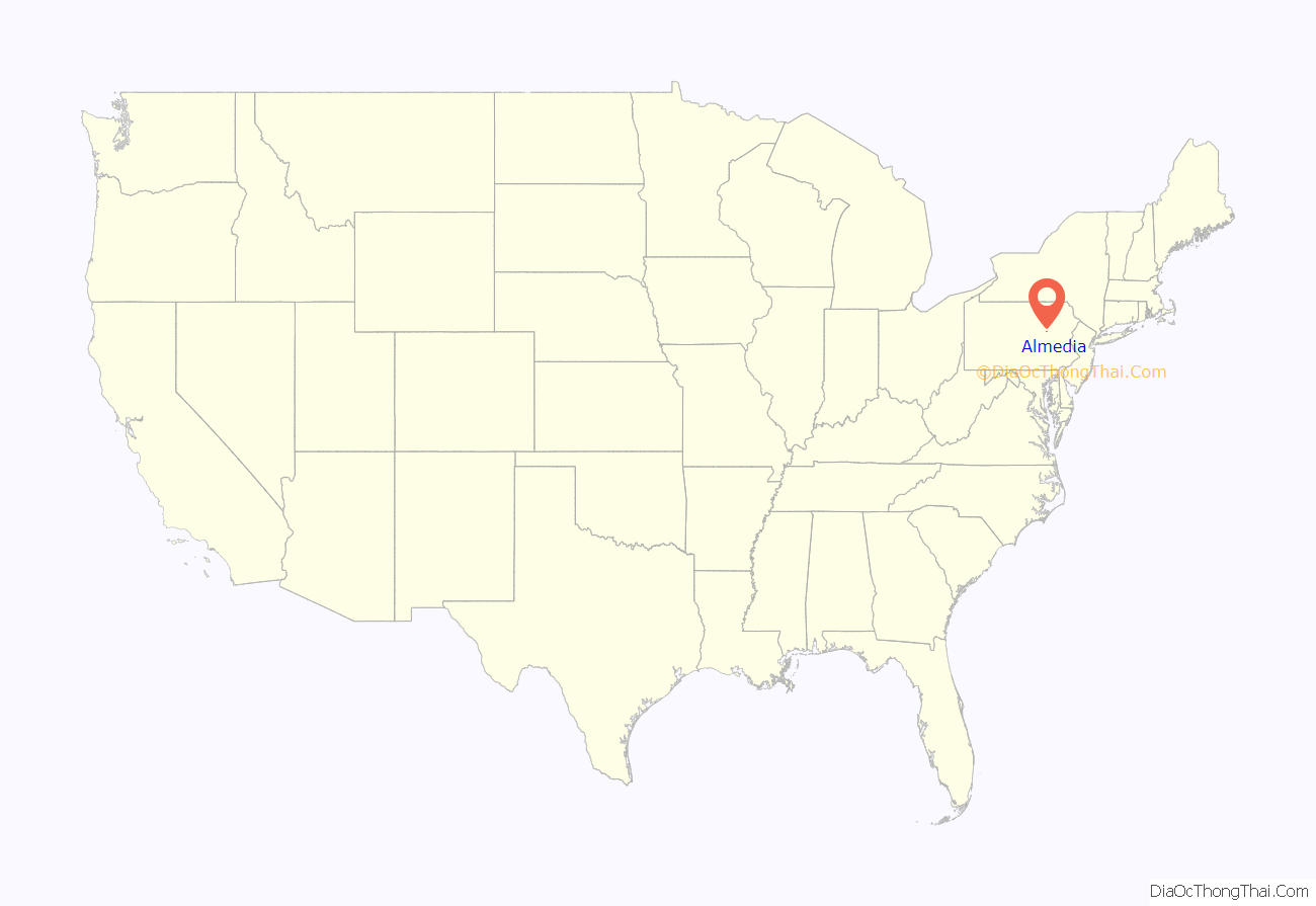
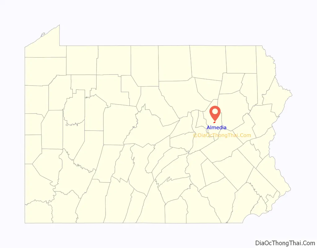
Almedia location map. Where is Almedia CDP?
History
Almedia was once called Afton. There used to be lime quarries and coal-dredging industries near Almedia.
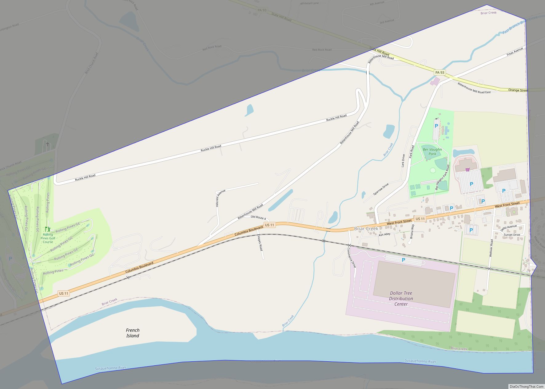
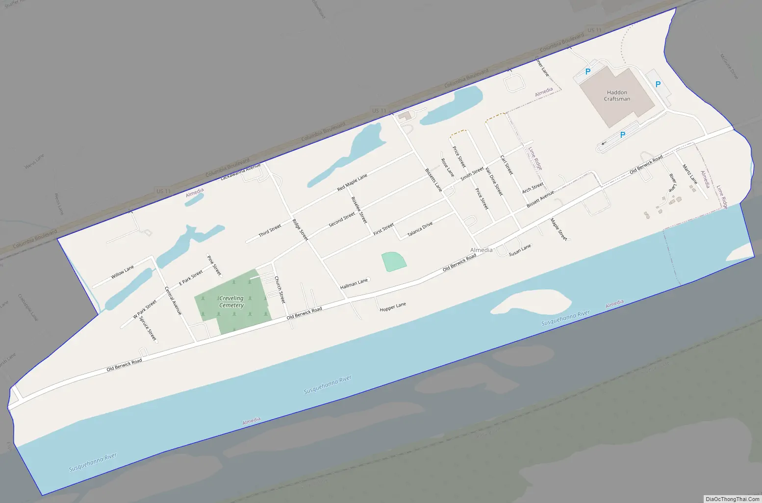
Almedia Road Map
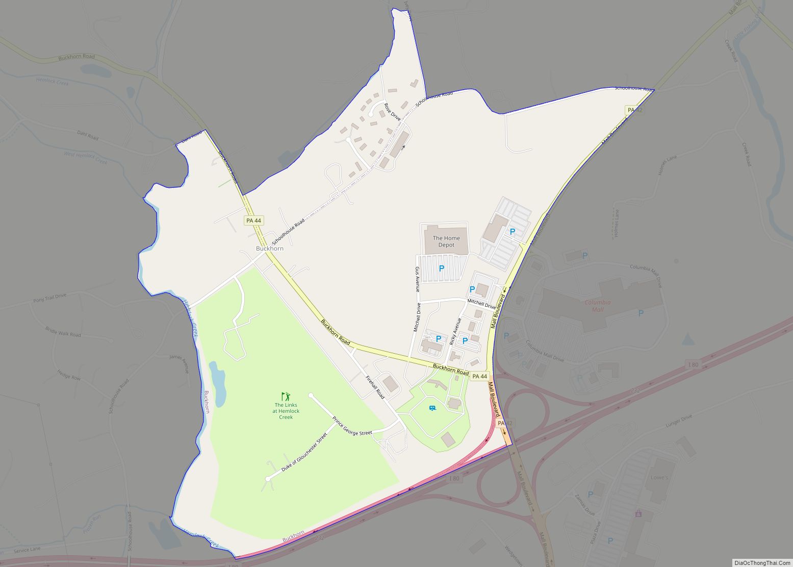
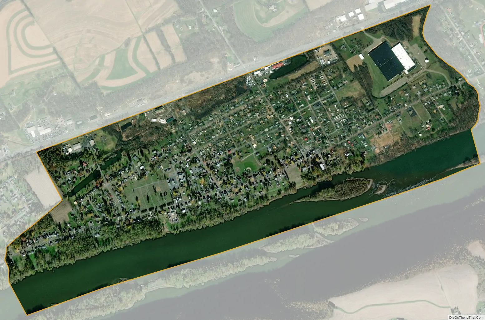
Almedia city Satellite Map
Geography
Almedia is located near the center of Columbia County at 41°0′56″N 76°23′5″W / 41.01556°N 76.38472°W / 41.01556; -76.38472 (41.015556, -76.384814). It is in southeastern Scott Township and southwestern South Centre Township and is bordered by the Susquehanna River to the south, U.S. Route 11 to the north, Espy to the west, and Lime Ridge to the east.
According to the United States Census Bureau, the CDP has a total area of 0.77 square miles (2.0 km), of which 0.58 square miles (1.5 km) is land and 0.19 square miles (0.5 km), or 26.61%, is water.
See also
Map of Pennsylvania State and its subdivision:- Adams
- Allegheny
- Armstrong
- Beaver
- Bedford
- Berks
- Blair
- Bradford
- Bucks
- Butler
- Cambria
- Cameron
- Carbon
- Centre
- Chester
- Clarion
- Clearfield
- Clinton
- Columbia
- Crawford
- Cumberland
- Dauphin
- Delaware
- Elk
- Erie
- Fayette
- Forest
- Franklin
- Fulton
- Greene
- Huntingdon
- Indiana
- Jefferson
- Juniata
- Lackawanna
- Lancaster
- Lawrence
- Lebanon
- Lehigh
- Luzerne
- Lycoming
- Mc Kean
- Mercer
- Mifflin
- Monroe
- Montgomery
- Montour
- Northampton
- Northumberland
- Perry
- Philadelphia
- Pike
- Potter
- Schuylkill
- Snyder
- Somerset
- Sullivan
- Susquehanna
- Tioga
- Union
- Venango
- Warren
- Washington
- Wayne
- Westmoreland
- Wyoming
- York
- Alabama
- Alaska
- Arizona
- Arkansas
- California
- Colorado
- Connecticut
- Delaware
- District of Columbia
- Florida
- Georgia
- Hawaii
- Idaho
- Illinois
- Indiana
- Iowa
- Kansas
- Kentucky
- Louisiana
- Maine
- Maryland
- Massachusetts
- Michigan
- Minnesota
- Mississippi
- Missouri
- Montana
- Nebraska
- Nevada
- New Hampshire
- New Jersey
- New Mexico
- New York
- North Carolina
- North Dakota
- Ohio
- Oklahoma
- Oregon
- Pennsylvania
- Rhode Island
- South Carolina
- South Dakota
- Tennessee
- Texas
- Utah
- Vermont
- Virginia
- Washington
- West Virginia
- Wisconsin
- Wyoming