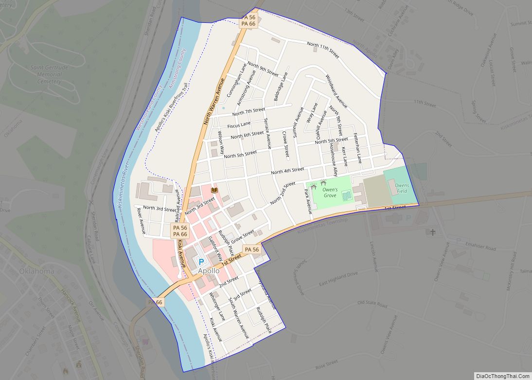
Apollo is a borough in Armstrong County, Pennsylvania, United States, 35 miles (56 km) northeast of Pittsburgh in a former coal-mining region. Apollo was settled in 1790, laid out in 1816, and incorporated as a borough in 1848. The population was 1,615 at the 2020 United States Census
| Name: | Apollo borough |
|---|---|
| LSAD Code: | 21 |
| LSAD Description: | borough (suffix) |
| State: | Pennsylvania |
| County: | Armstrong County |
| Incorporated: | 1848 |
| Elevation: | 820 ft (250 m) |
| Total Area: | 0.35 sq mi (0.90 km²) |
| Land Area: | 0.30 sq mi (0.79 km²) |
| Water Area: | 0.04 sq mi (0.11 km²) |
| Total Population: | 1,615 |
| Population Density: | 5,295.08/sq mi (2,042.49/km²) |
| Area code: | 724 |
| FIPS code: | 4202720 |
| Website: | apollopa.net |
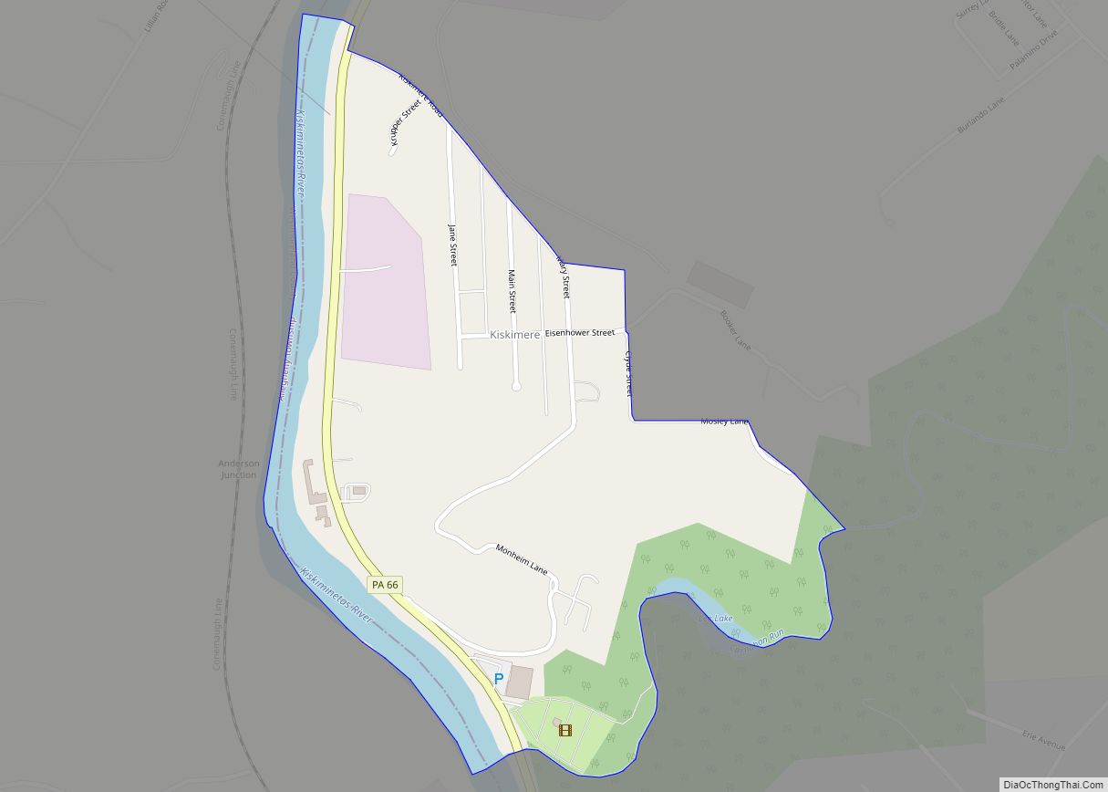
Online Interactive Map
Click on ![]() to view map in "full screen" mode.
to view map in "full screen" mode.
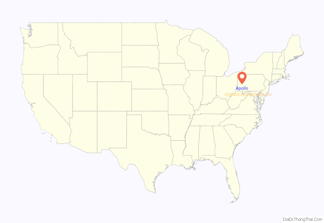
Apollo location map. Where is Apollo borough?
History
The area was sectioned in 1769, following the Treaty of Fort Stanwix, as a farm known as “Warren’s Sleeping Place”, named after a Native American trader from the area named Edward Warren. It was soon surveyed and divided into lots, with the town of Warren officially being added to the Greensburg register on 9 November 1816. The log cabin home of the Drake family still stands in the area, and is one of the oldest buildings in Armstrong County.
With the introduction of the post office, the area was officially renamed from Warren to Apollo in 1848 to avoid confusion with the post office of another town in Pennsylvania of the same name. The present name is after Apollo, the Greek and Roman god of music, healing, light, prophecy and enlightenment.
By the late 19th century the Apollo Iron & Steel Company dominated the local economy. In 1895, the company’s president, George Gibson McMurtry, hired famous landscape architect Frederick Law Olmsted to design a town for Apollo Iron & Steel’s workers. The result was the neighboring town of Vandergrift. In 1911, Apollo became home to the first public library in Armstrong County.
The Roaring Run Recreation Area is located one mile upriver (southeast) of Apollo and can be accessed via the Apollo Kiski River Trail. Stone remnants of the Western Division of the Pennsylvania Mainline Canal, that passed through Apollo and operated between 1825 and 1850, can be found along the Roaring Run Trail. The canal made use of the Kiskiminetas River using a system of slackwater dams, and the boats floated on the river, entering a lock located at the mouth of Roaring Run. From there the canal ran along the path of the current Roaring Run Trail, through the entire length of the borough, entering the Kiskiminetas River again across the river from where the current borough of East Vandergrift is situated.
The borough suffered significant damage in the 1936 St. Patrick’s Day flood. The Kiskiminetas River rose more than 15 feet above flood stage. 95 area homes were damaged or washed away and the borough’s bridge was destroyed, according to the Apollo Area Historical Society.
The Drake Log Cabin was listed on the National Register of Historic Places in 1983.
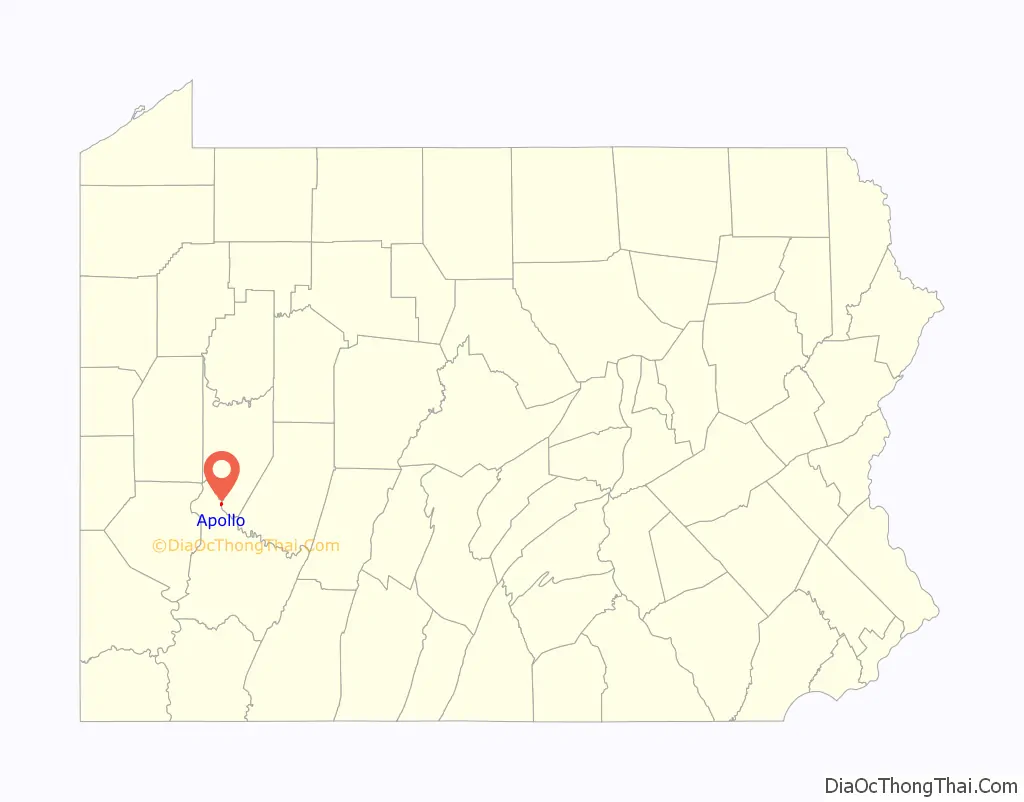
Apollo Road Map
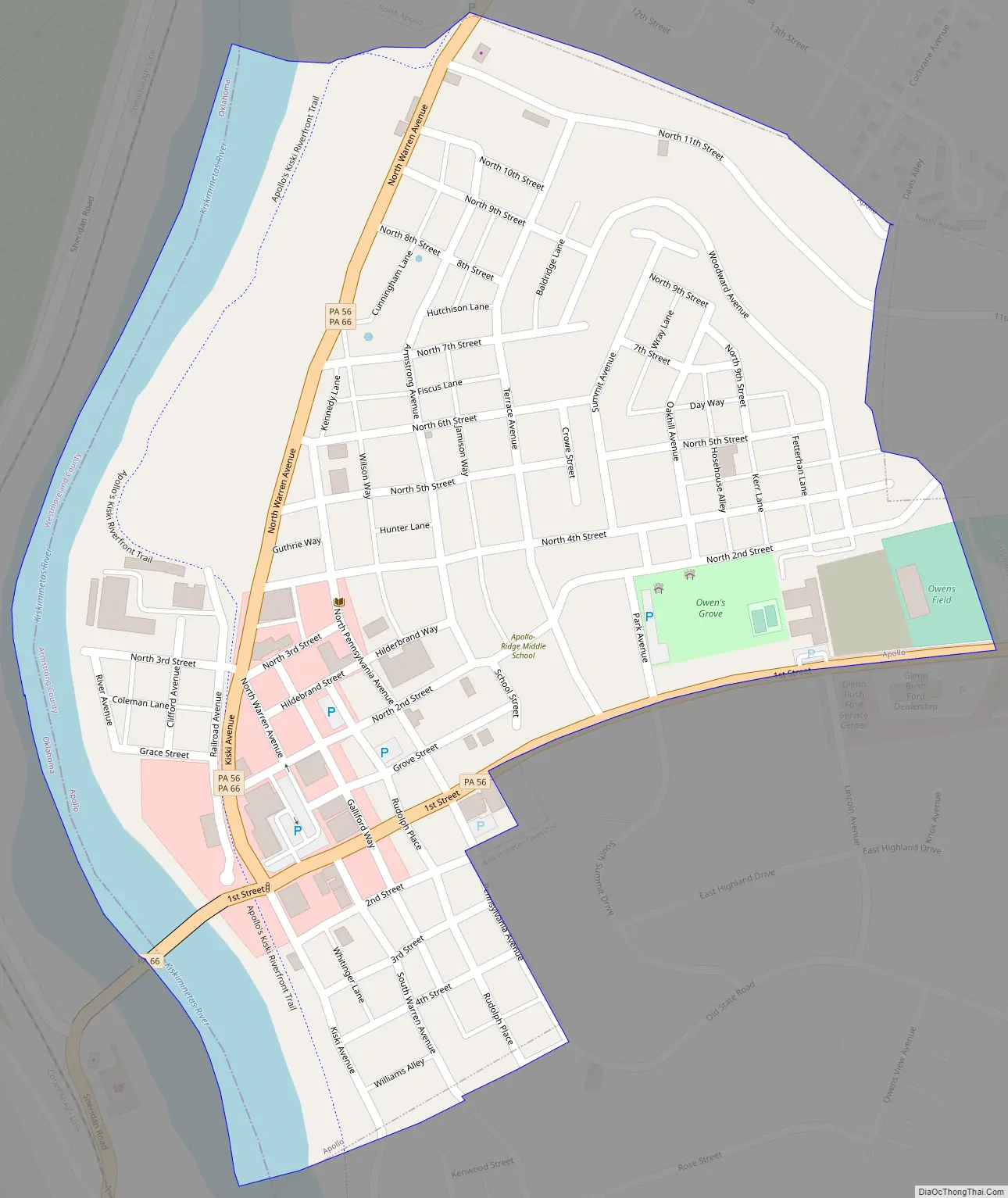
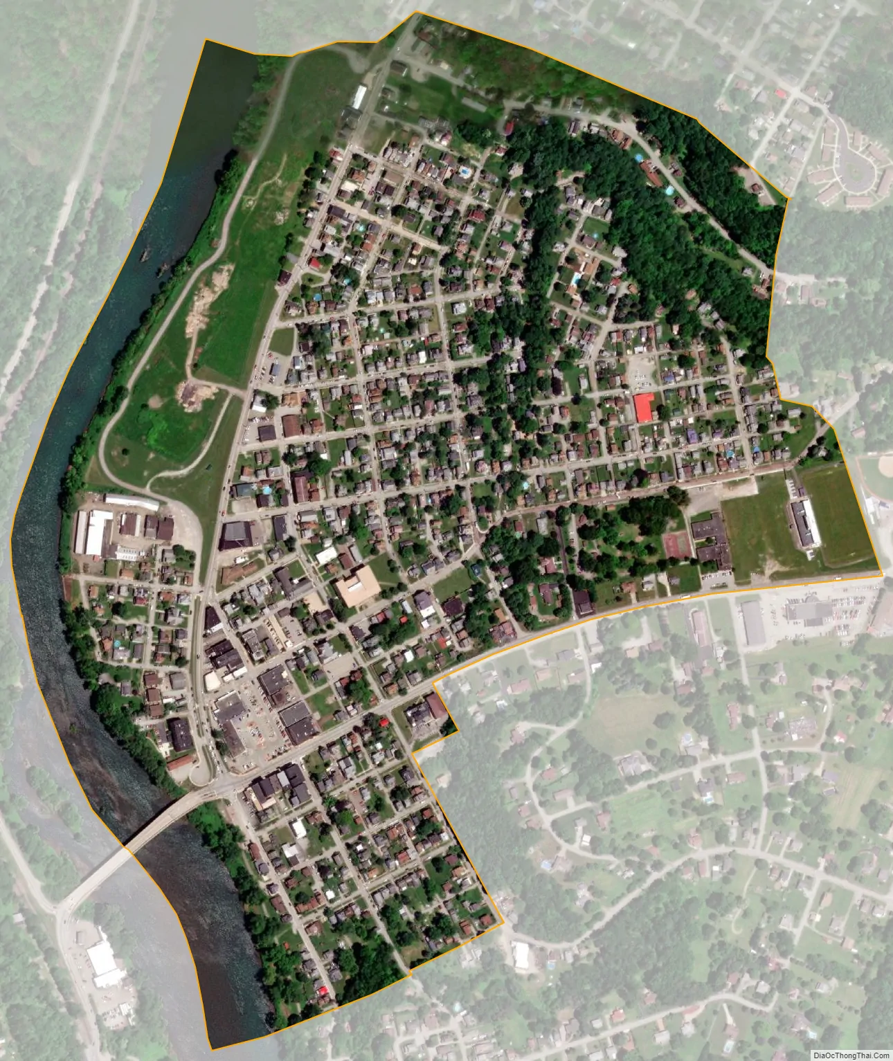
Apollo city Satellite Map
Geography
Apollo is located on the Kiskiminetas River at 40°35′3″N 79°33′52″W / 40.58417°N 79.56444°W / 40.58417; -79.56444 (40.584103, -79.564363).
According to the United States Census Bureau, the borough has a total area of 0.35 square miles (0.9 km), of which 0.31 square miles (0.8 km) is land and 0.039 square miles (0.1 km), or 12.43%, is water.
See also
Map of Pennsylvania State and its subdivision:- Adams
- Allegheny
- Armstrong
- Beaver
- Bedford
- Berks
- Blair
- Bradford
- Bucks
- Butler
- Cambria
- Cameron
- Carbon
- Centre
- Chester
- Clarion
- Clearfield
- Clinton
- Columbia
- Crawford
- Cumberland
- Dauphin
- Delaware
- Elk
- Erie
- Fayette
- Forest
- Franklin
- Fulton
- Greene
- Huntingdon
- Indiana
- Jefferson
- Juniata
- Lackawanna
- Lancaster
- Lawrence
- Lebanon
- Lehigh
- Luzerne
- Lycoming
- Mc Kean
- Mercer
- Mifflin
- Monroe
- Montgomery
- Montour
- Northampton
- Northumberland
- Perry
- Philadelphia
- Pike
- Potter
- Schuylkill
- Snyder
- Somerset
- Sullivan
- Susquehanna
- Tioga
- Union
- Venango
- Warren
- Washington
- Wayne
- Westmoreland
- Wyoming
- York
- Alabama
- Alaska
- Arizona
- Arkansas
- California
- Colorado
- Connecticut
- Delaware
- District of Columbia
- Florida
- Georgia
- Hawaii
- Idaho
- Illinois
- Indiana
- Iowa
- Kansas
- Kentucky
- Louisiana
- Maine
- Maryland
- Massachusetts
- Michigan
- Minnesota
- Mississippi
- Missouri
- Montana
- Nebraska
- Nevada
- New Hampshire
- New Jersey
- New Mexico
- New York
- North Carolina
- North Dakota
- Ohio
- Oklahoma
- Oregon
- Pennsylvania
- Rhode Island
- South Carolina
- South Dakota
- Tennessee
- Texas
- Utah
- Vermont
- Virginia
- Washington
- West Virginia
- Wisconsin
- Wyoming