Applewold is a borough in Armstrong County, Pennsylvania, United States. The population was 334 at the 2020 census.
| Name: | Applewold borough |
|---|---|
| LSAD Code: | 21 |
| LSAD Description: | borough (suffix) |
| State: | Pennsylvania |
| County: | Armstrong County |
| Incorporated: | 1899 |
| Elevation: | 790 ft (240 m) |
| Total Area: | 0.05 sq mi (0.12 km²) |
| Land Area: | 0.05 sq mi (0.12 km²) |
| Water Area: | 0.00 sq mi (0.00 km²) |
| Total Population: | 334 |
| Population Density: | 7,106.38/sq mi (2,746.01/km²) |
| ZIP code: | 16201 |
| FIPS code: | 4202752 |
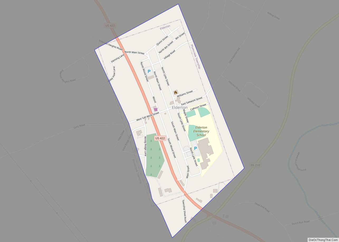
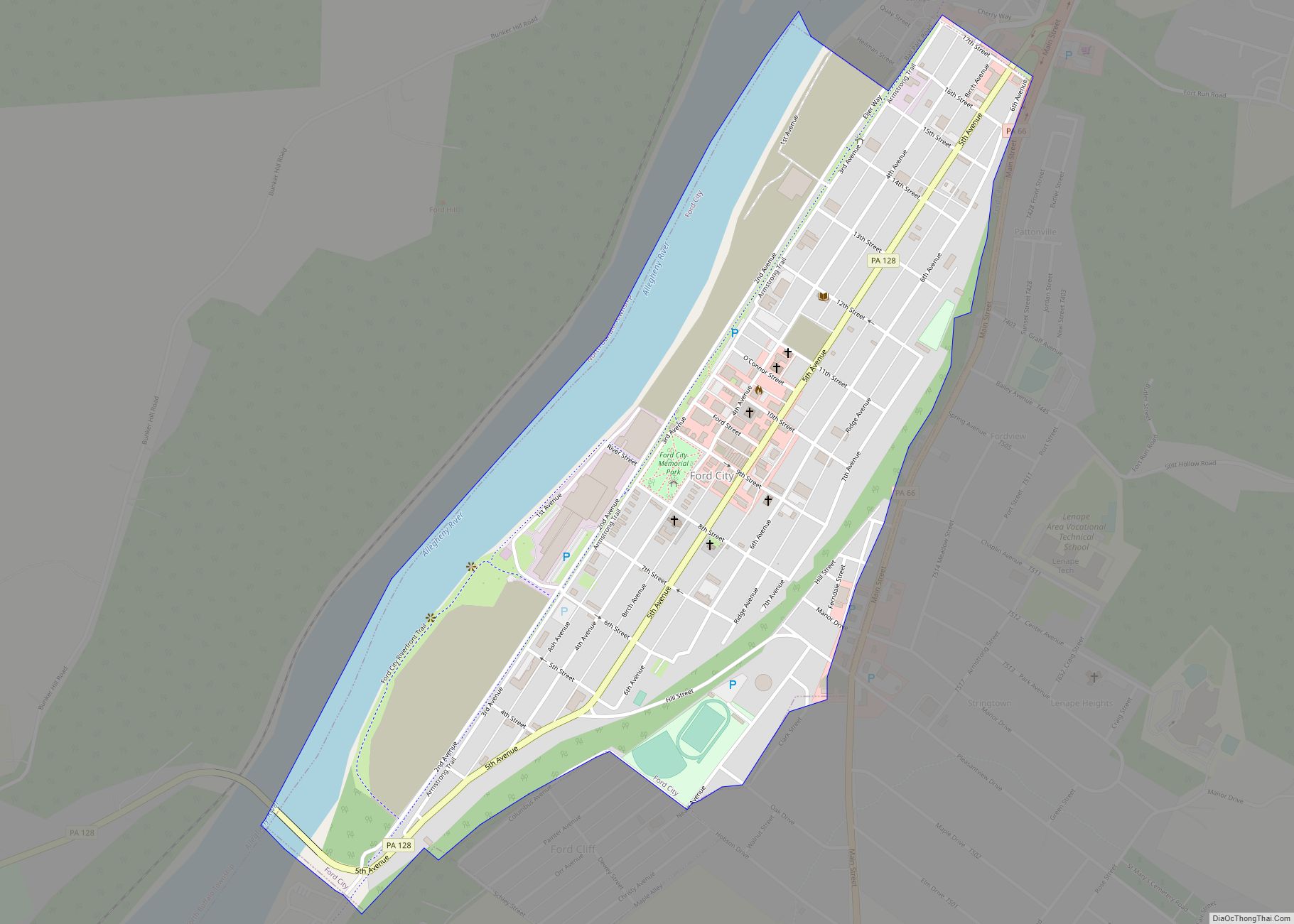
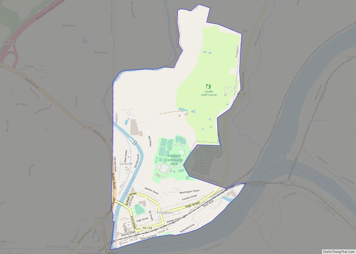
Online Interactive Map
Click on ![]() to view map in "full screen" mode.
to view map in "full screen" mode.
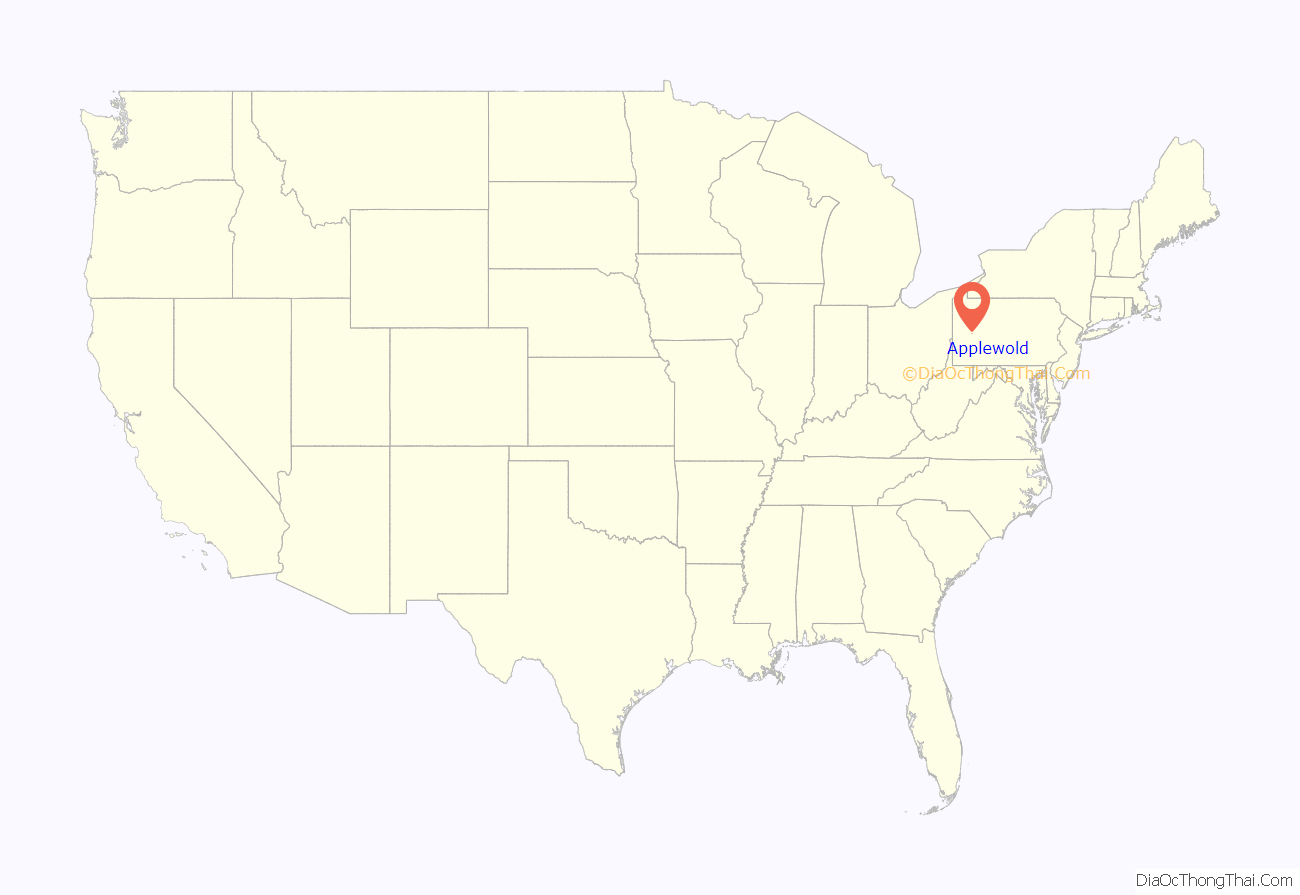
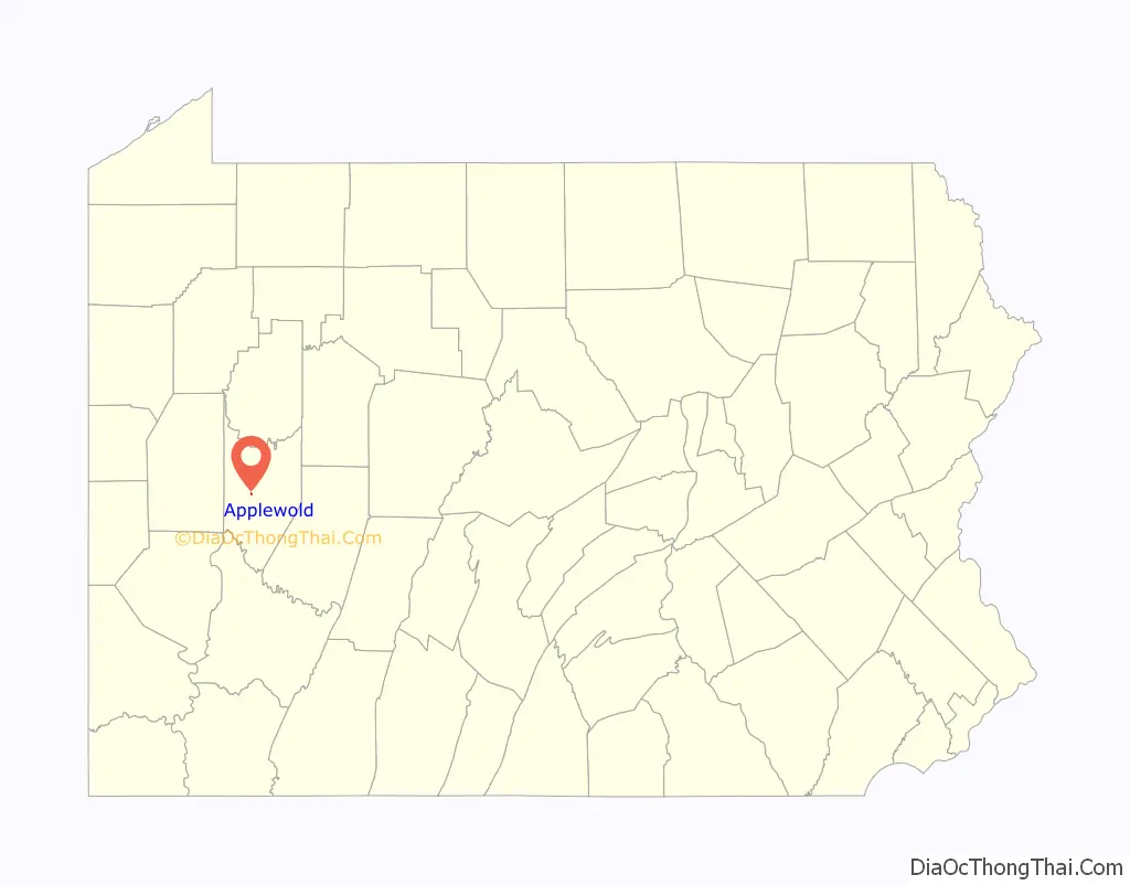
Applewold location map. Where is Applewold borough?
Applewold Road Map
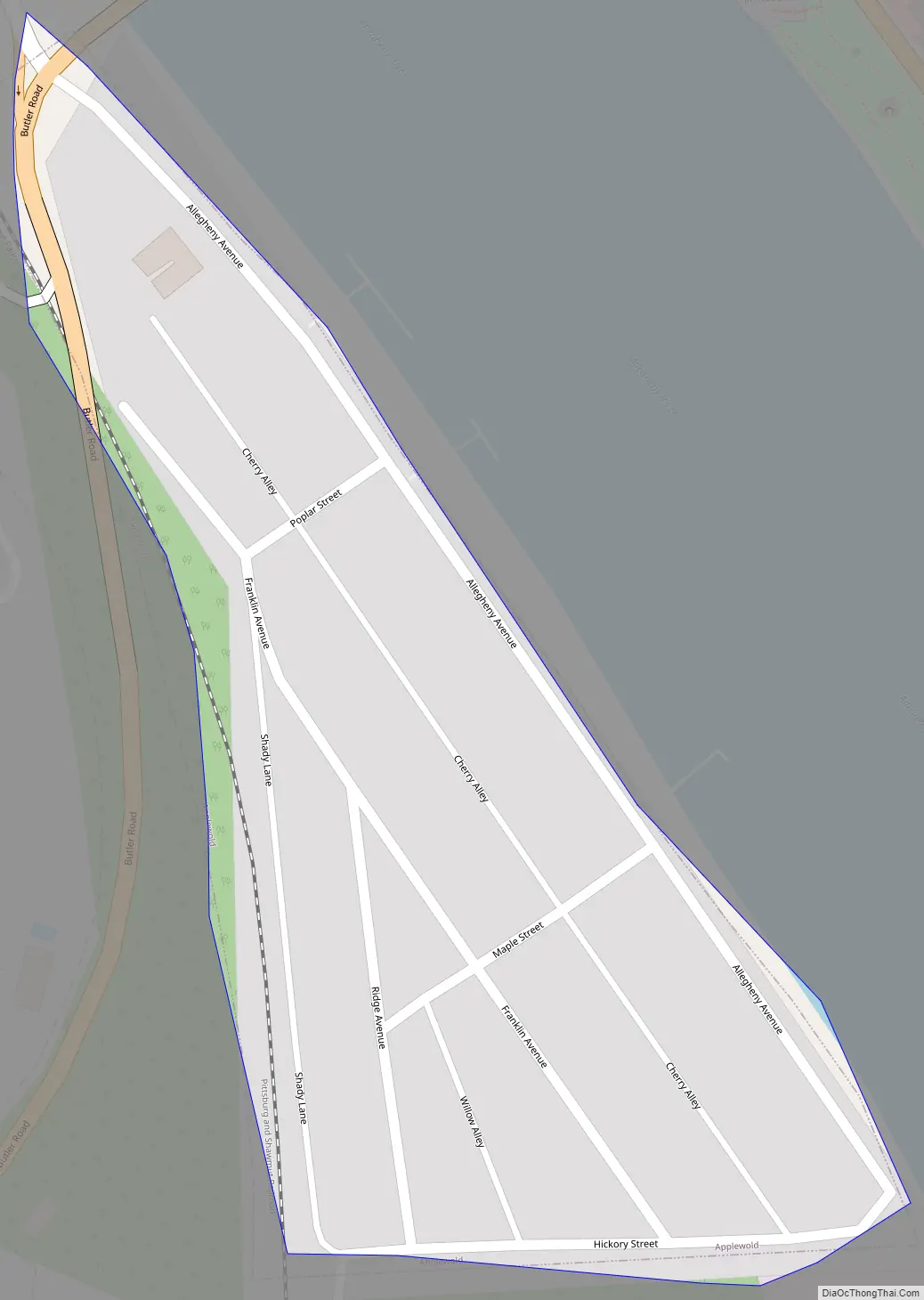
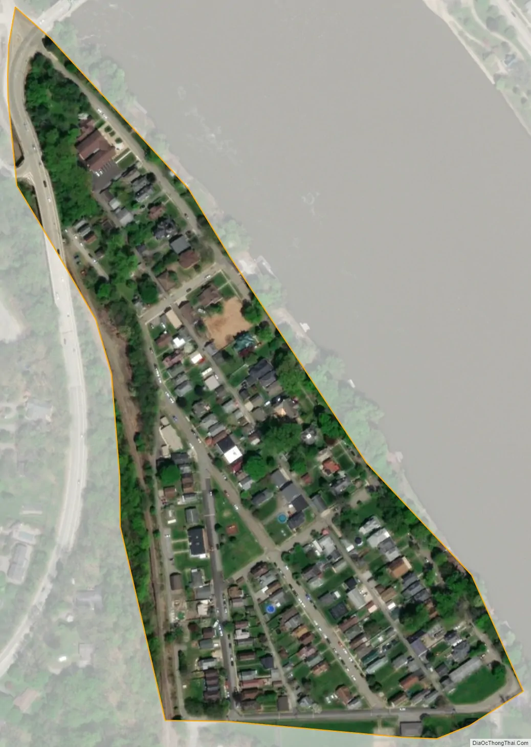
Applewold city Satellite Map
Geography
Applewold is located at 40°48′31″N 79°31′20″W / 40.80861°N 79.52222°W / 40.80861; -79.52222 (40.808634, -79.522177) on the west bank of the Allegheny River, approximately 40 miles (64 km) northeast of Pittsburgh. Applewold is bordered by the borough of West Kittanning to the west, and the borough of Kittanning lies directly across the Allegheny River to the east.
According to the United States Census Bureau, Applewold has a total area of 0.039 square miles (0.1 km), all land.
See also
Map of Pennsylvania State and its subdivision:- Adams
- Allegheny
- Armstrong
- Beaver
- Bedford
- Berks
- Blair
- Bradford
- Bucks
- Butler
- Cambria
- Cameron
- Carbon
- Centre
- Chester
- Clarion
- Clearfield
- Clinton
- Columbia
- Crawford
- Cumberland
- Dauphin
- Delaware
- Elk
- Erie
- Fayette
- Forest
- Franklin
- Fulton
- Greene
- Huntingdon
- Indiana
- Jefferson
- Juniata
- Lackawanna
- Lancaster
- Lawrence
- Lebanon
- Lehigh
- Luzerne
- Lycoming
- Mc Kean
- Mercer
- Mifflin
- Monroe
- Montgomery
- Montour
- Northampton
- Northumberland
- Perry
- Philadelphia
- Pike
- Potter
- Schuylkill
- Snyder
- Somerset
- Sullivan
- Susquehanna
- Tioga
- Union
- Venango
- Warren
- Washington
- Wayne
- Westmoreland
- Wyoming
- York
- Alabama
- Alaska
- Arizona
- Arkansas
- California
- Colorado
- Connecticut
- Delaware
- District of Columbia
- Florida
- Georgia
- Hawaii
- Idaho
- Illinois
- Indiana
- Iowa
- Kansas
- Kentucky
- Louisiana
- Maine
- Maryland
- Massachusetts
- Michigan
- Minnesota
- Mississippi
- Missouri
- Montana
- Nebraska
- Nevada
- New Hampshire
- New Jersey
- New Mexico
- New York
- North Carolina
- North Dakota
- Ohio
- Oklahoma
- Oregon
- Pennsylvania
- Rhode Island
- South Carolina
- South Dakota
- Tennessee
- Texas
- Utah
- Vermont
- Virginia
- Washington
- West Virginia
- Wisconsin
- Wyoming