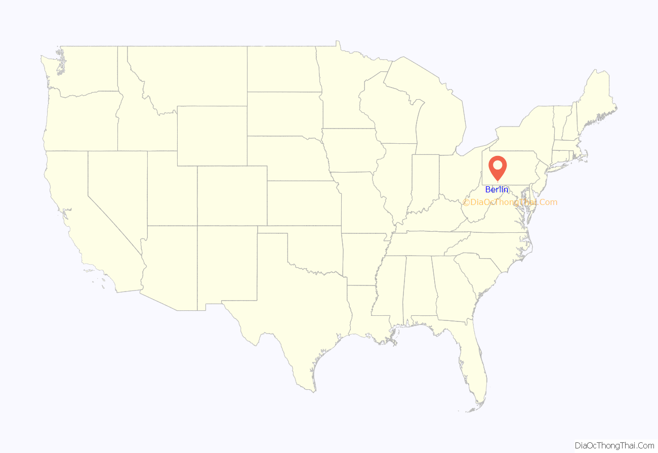
Berlin is a borough located approximately 75 miles southeast of Pittsburgh in Somerset County, Pennsylvania, United States. The population was 2,004 at the 2020 census. It is part of the Johnstown, Pennsylvania Metropolitan Statistical Area.
The town’s major celebration each fall concerns the Whiskey Rebellion in the 1790s, although in recent years residents also commemorate the termination of Flight 93 in nearby Shanksville in 2001. The Berlin Fife and Drum Corps is one of the oldest such bands in North America. Snyder of Berlin potato chips are made in town, which also hosts Center Rock, Inc., a drilling-equipment manufacturer. Farming and coal mining have long been important in the area.
It is not located near East Berlin in Adams County, or New Berlin in Union County. East Berlin was previously called Berlin but had to have the “East” added to avoid confusion with this Berlin.
| Name: | Berlin borough |
|---|---|
| LSAD Code: | 21 |
| LSAD Description: | borough (suffix) |
| State: | Pennsylvania |
| County: | Somerset County |
| Incorporated: | February 7, 1833 |
| Elevation: | 2,323 ft (708 m) |
| Total Area: | 0.92 sq mi (2.37 km²) |
| Land Area: | 0.92 sq mi (2.37 km²) |
| Water Area: | 0.00 sq mi (0.00 km²) |
| Total Population: | 2,003 |
| Population Density: | 2,186.68/sq mi (844.63/km²) |
| Area code: | 814 |
| FIPS code: | 4205776 |
Online Interactive Map
Click on ![]() to view map in "full screen" mode.
to view map in "full screen" mode.
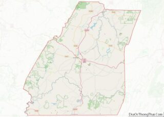
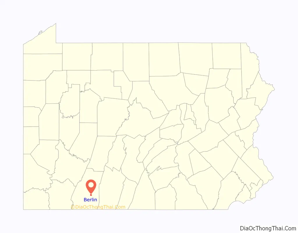
Berlin location map. Where is Berlin borough?
History
Immigrants (especially those from Germany) began settling the area before the American Revolutionary War, and the surrounding Brothersvalley Township was incorporated in 1771. Further settlement occurred by Revolutionary War veterans, so the borough was laid out in 1784 and formally incorporated on February 7, 1833.
In June 1794, a riot occurred at the Berlin Schoolhouse during the Whiskey Rebellion. By September, Irish immigrant Robert Philson raised a liberty pole at his log store on the square and advised citizens to oppose U.S. laws. Federal troops arrived in October, and the rebellion evaporated, with Philson and itinerant preacher Herman Husband being taken to Philadelphia for trial (where they were acquitted). Governor Thomas Mifflin made his headquarters in Dr. Christian Boerstler’s house.
Local attorney Jeremiah S. Black rose to become Justice of Pennsylvania (1851-1857, serving as Chief Justice from 1851 to 1853). After election of fellow Pennsylvanian James Buchanan as President of the United States, he began litigating fraudulent land claims in California as United States Attorney General and later served as Secretary of State.
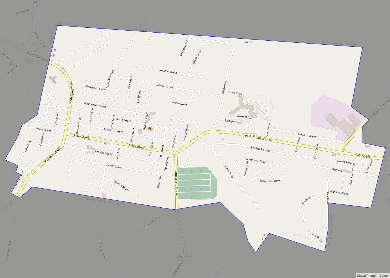
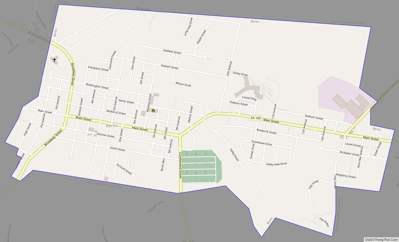
Berlin Road Map
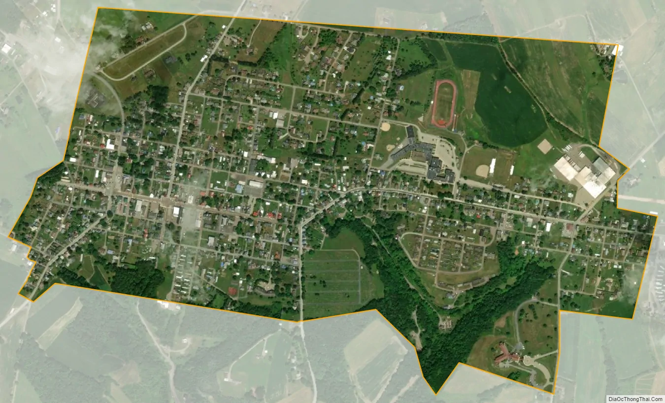
Berlin city Satellite Map
Geography
Berlin is located at 39°55′17″N 78°57′00″W / 39.9213°N 78.9501°W / 39.9213; -78.9501, approximately 11 miles (18 km) southeast of Somerset and approximately 63 miles (101 km) south-southwest of Altoona. According to the United States Census Bureau, the borough has a total area of 0.9 square miles (2.3 km), all land. Berlin has an elevation of 2,323 feet (708 m), the second highest, after only Seven Springs, in Pennsylvania.
See also
Map of Pennsylvania State and its subdivision:- Adams
- Allegheny
- Armstrong
- Beaver
- Bedford
- Berks
- Blair
- Bradford
- Bucks
- Butler
- Cambria
- Cameron
- Carbon
- Centre
- Chester
- Clarion
- Clearfield
- Clinton
- Columbia
- Crawford
- Cumberland
- Dauphin
- Delaware
- Elk
- Erie
- Fayette
- Forest
- Franklin
- Fulton
- Greene
- Huntingdon
- Indiana
- Jefferson
- Juniata
- Lackawanna
- Lancaster
- Lawrence
- Lebanon
- Lehigh
- Luzerne
- Lycoming
- Mc Kean
- Mercer
- Mifflin
- Monroe
- Montgomery
- Montour
- Northampton
- Northumberland
- Perry
- Philadelphia
- Pike
- Potter
- Schuylkill
- Snyder
- Somerset
- Sullivan
- Susquehanna
- Tioga
- Union
- Venango
- Warren
- Washington
- Wayne
- Westmoreland
- Wyoming
- York
- Alabama
- Alaska
- Arizona
- Arkansas
- California
- Colorado
- Connecticut
- Delaware
- District of Columbia
- Florida
- Georgia
- Hawaii
- Idaho
- Illinois
- Indiana
- Iowa
- Kansas
- Kentucky
- Louisiana
- Maine
- Maryland
- Massachusetts
- Michigan
- Minnesota
- Mississippi
- Missouri
- Montana
- Nebraska
- Nevada
- New Hampshire
- New Jersey
- New Mexico
- New York
- North Carolina
- North Dakota
- Ohio
- Oklahoma
- Oregon
- Pennsylvania
- Rhode Island
- South Carolina
- South Dakota
- Tennessee
- Texas
- Utah
- Vermont
- Virginia
- Washington
- West Virginia
- Wisconsin
- Wyoming