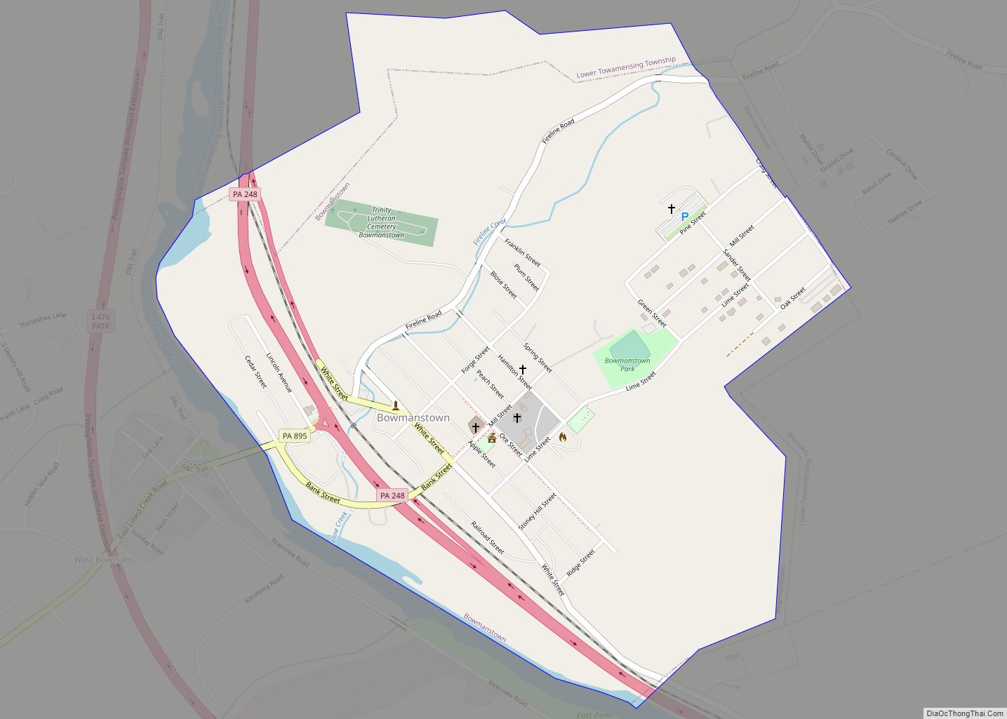
Bowmanstown is a borough in Carbon County, Pennsylvania. It is part of Northeastern Pennsylvania. The population was 937 at the 2010 census.
The borough is at an elevation of 437 feet (133 m). It is located 3 miles (5 km) west of Palmerton and 4 miles (6 km) south of Lehighton off Pennsylvania Route 248.
| Name: | Bowmanstown borough |
|---|---|
| LSAD Code: | 21 |
| LSAD Description: | borough (suffix) |
| State: | Pennsylvania |
| County: | Carbon County |
| Elevation: | 732 ft (223 m) |
| Total Area: | 0.80 sq mi (2.07 km²) |
| Land Area: | 0.77 sq mi (1.99 km²) |
| Water Area: | 0.03 sq mi (0.07 km²) |
| Total Population: | 889 |
| Population Density: | 1,156.05/sq mi (446.19/km²) |
| ZIP code: | 18030 |
| Area code: | 610 and 484 |
| FIPS code: | 4207880 |
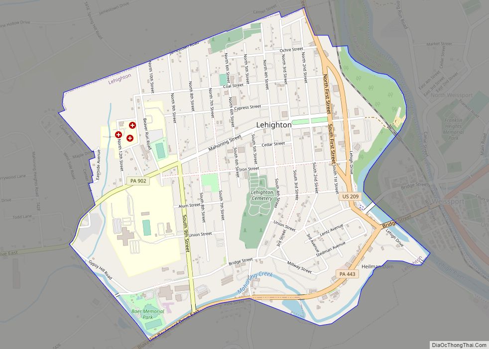
Online Interactive Map
Click on ![]() to view map in "full screen" mode.
to view map in "full screen" mode.
Bowmanstown location map. Where is Bowmanstown borough?
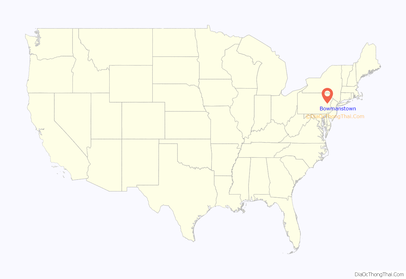
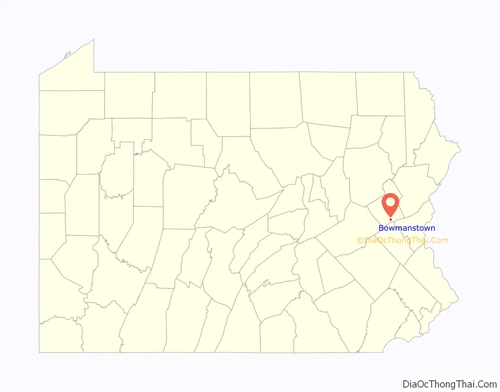
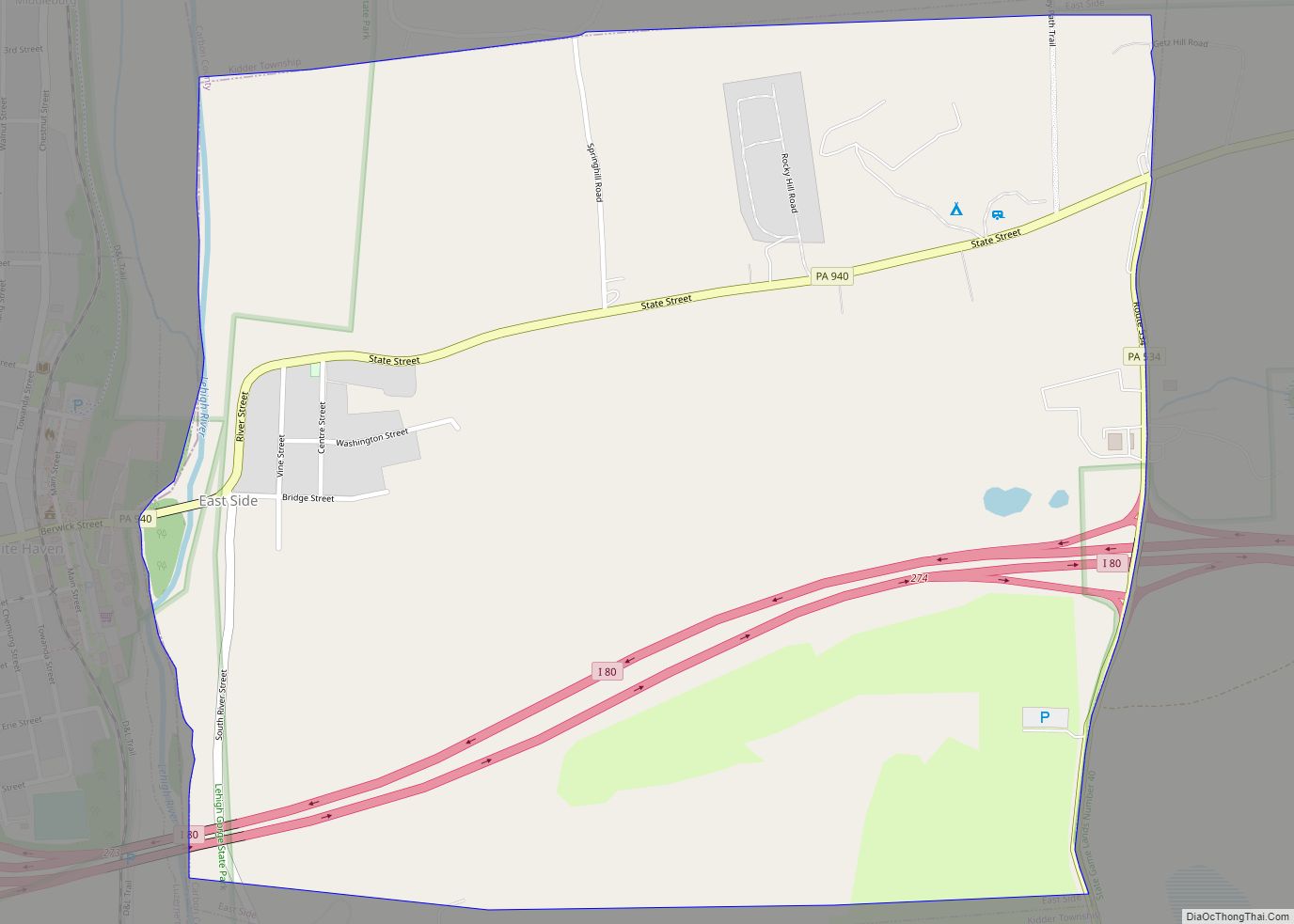
Bowmanstown Road Map
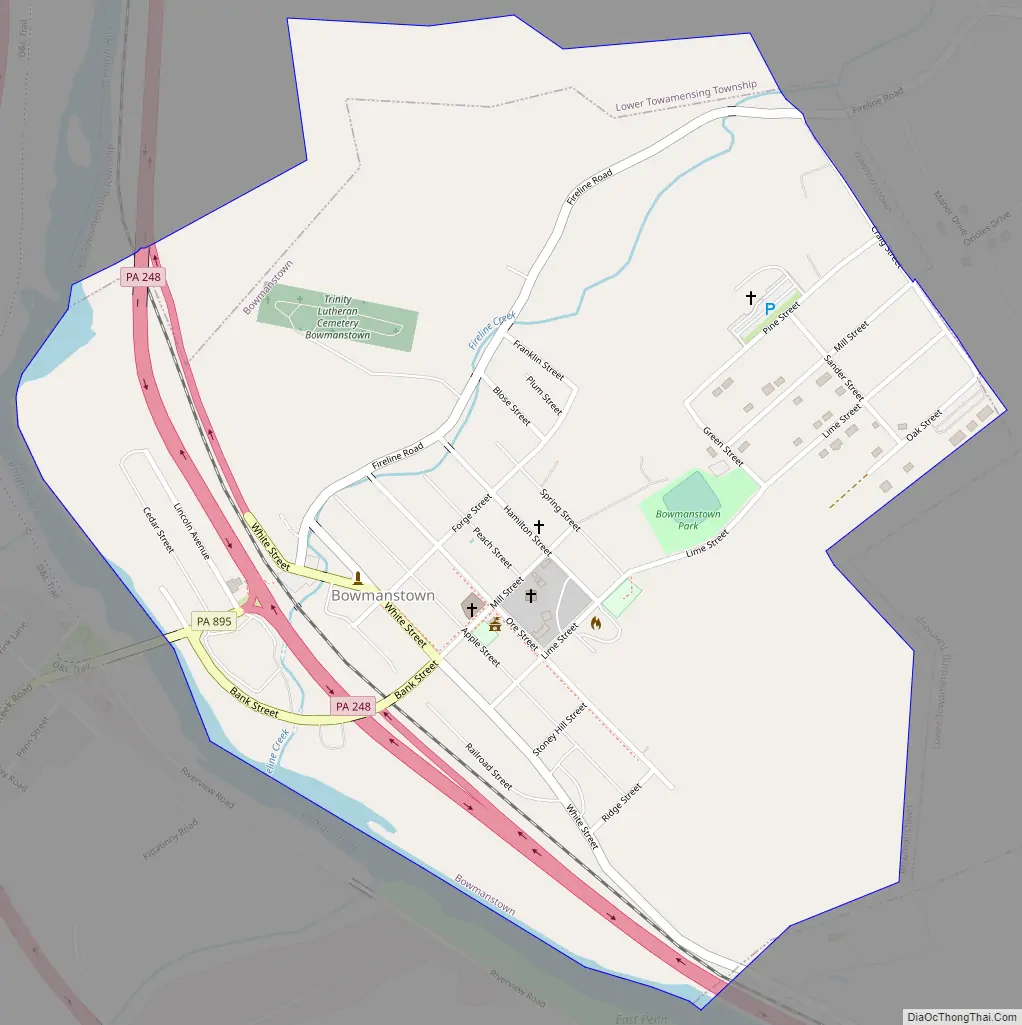
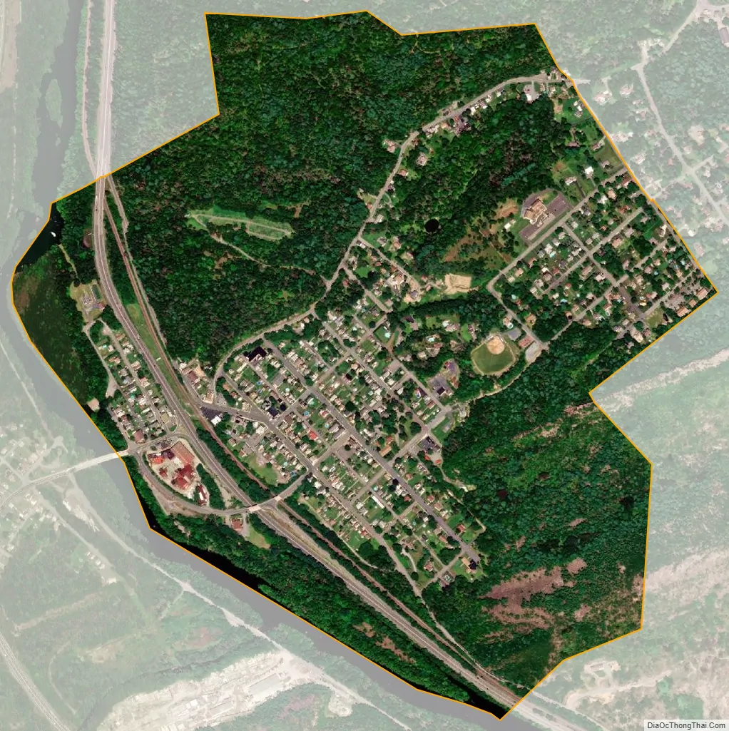
Bowmanstown city Satellite Map
Geography
Bowmanstown is located in southern Carbon County at 40°48′3″N 75°39′44″W / 40.80083°N 75.66222°W / 40.80083; -75.66222 (40.800737, -75.662167), on the northeast bank of the Lehigh River. It is bordered on the east and north by Lower Towamensing Township, on the southeast by the borough of Palmerton, and on the southwest and west by East Penn Township.
According to the U.S. Census Bureau, the borough has a total area of 0.80 square miles (2.07 km), of which 0.77 square miles (1.99 km) is land and 0.03 square miles (0.07 km), or 3.59%, is water.
See also
Map of Pennsylvania State and its subdivision:- Adams
- Allegheny
- Armstrong
- Beaver
- Bedford
- Berks
- Blair
- Bradford
- Bucks
- Butler
- Cambria
- Cameron
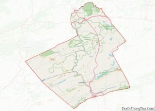
- Carbon
- Centre
- Chester
- Clarion
- Clearfield
- Clinton
- Columbia
- Crawford
- Cumberland
- Dauphin
- Delaware
- Elk
- Erie
- Fayette
- Forest
- Franklin
- Fulton
- Greene
- Huntingdon
- Indiana
- Jefferson
- Juniata
- Lackawanna
- Lancaster
- Lawrence
- Lebanon
- Lehigh
- Luzerne
- Lycoming
- Mc Kean
- Mercer
- Mifflin
- Monroe
- Montgomery
- Montour
- Northampton
- Northumberland
- Perry
- Philadelphia
- Pike
- Potter
- Schuylkill
- Snyder
- Somerset
- Sullivan
- Susquehanna
- Tioga
- Union
- Venango
- Warren
- Washington
- Wayne
- Westmoreland
- Wyoming
- York
- Alabama
- Alaska
- Arizona
- Arkansas
- California
- Colorado
- Connecticut
- Delaware
- District of Columbia
- Florida
- Georgia
- Hawaii
- Idaho
- Illinois
- Indiana
- Iowa
- Kansas
- Kentucky
- Louisiana
- Maine
- Maryland
- Massachusetts
- Michigan
- Minnesota
- Mississippi
- Missouri
- Montana
- Nebraska
- Nevada
- New Hampshire
- New Jersey
- New Mexico
- New York
- North Carolina
- North Dakota
- Ohio
- Oklahoma
- Oregon
- Pennsylvania
- Rhode Island
- South Carolina
- South Dakota
- Tennessee
- Texas
- Utah
- Vermont
- Virginia
- Washington
- West Virginia
- Wisconsin
- Wyoming