Palmerton is a borough in Carbon County, Pennsylvania, United States. It is part of Northeastern Pennsylvania. The borough’s population was 5,414 at the 2010 census.
Palmerton is located 18.9 miles (30.4 km) northwest of Allentown and 86.6 miles (139.4 km) northwest of Philadelphia.
| Name: | Palmerton borough |
|---|---|
| LSAD Code: | 21 |
| LSAD Description: | borough (suffix) |
| State: | Pennsylvania |
| County: | Carbon County |
| Incorporated: | October 14, 1912 |
| Elevation: | 407 ft (124 m) |
| Total Area: | 2.54 sq mi (6.57 km²) |
| Land Area: | 2.48 sq mi (6.44 km²) |
| Water Area: | 0.05 sq mi (0.13 km²) |
| Total Population: | 5,593 |
| Population Density: | 2,250.70/sq mi (868.95/km²) |
| ZIP code: | 18071 |
| FIPS code: | 4257696 |
| Website: | palmertonborough.com |
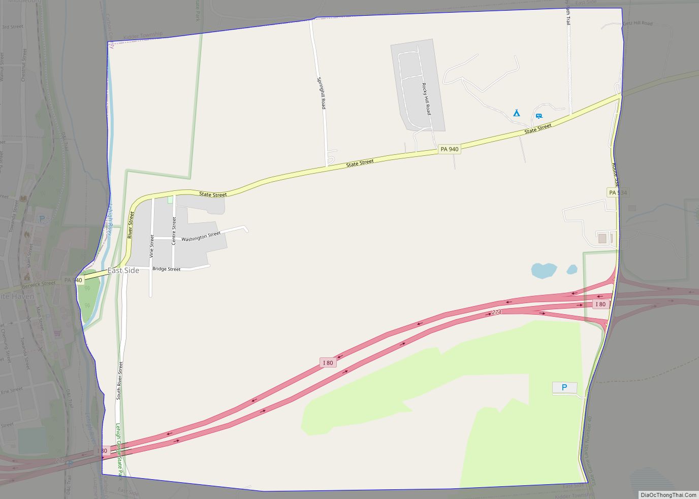
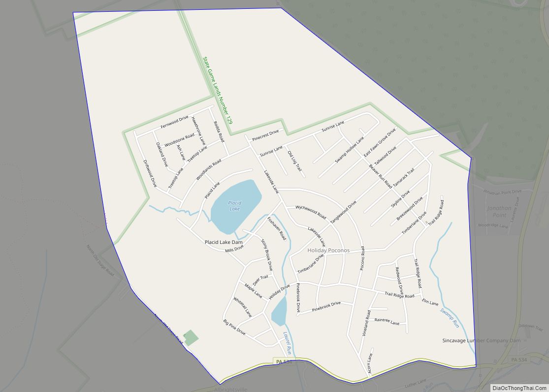
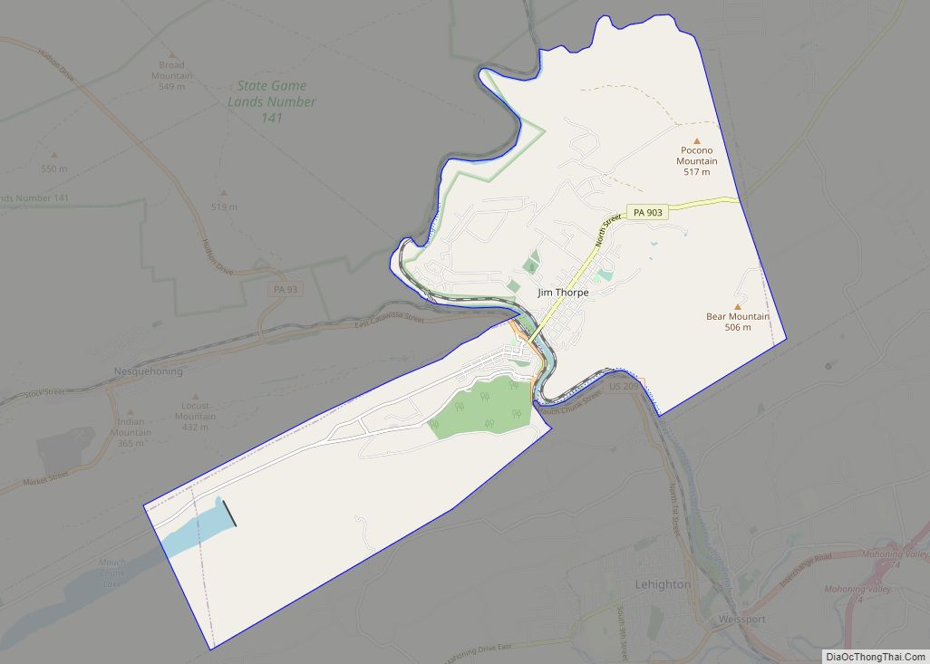
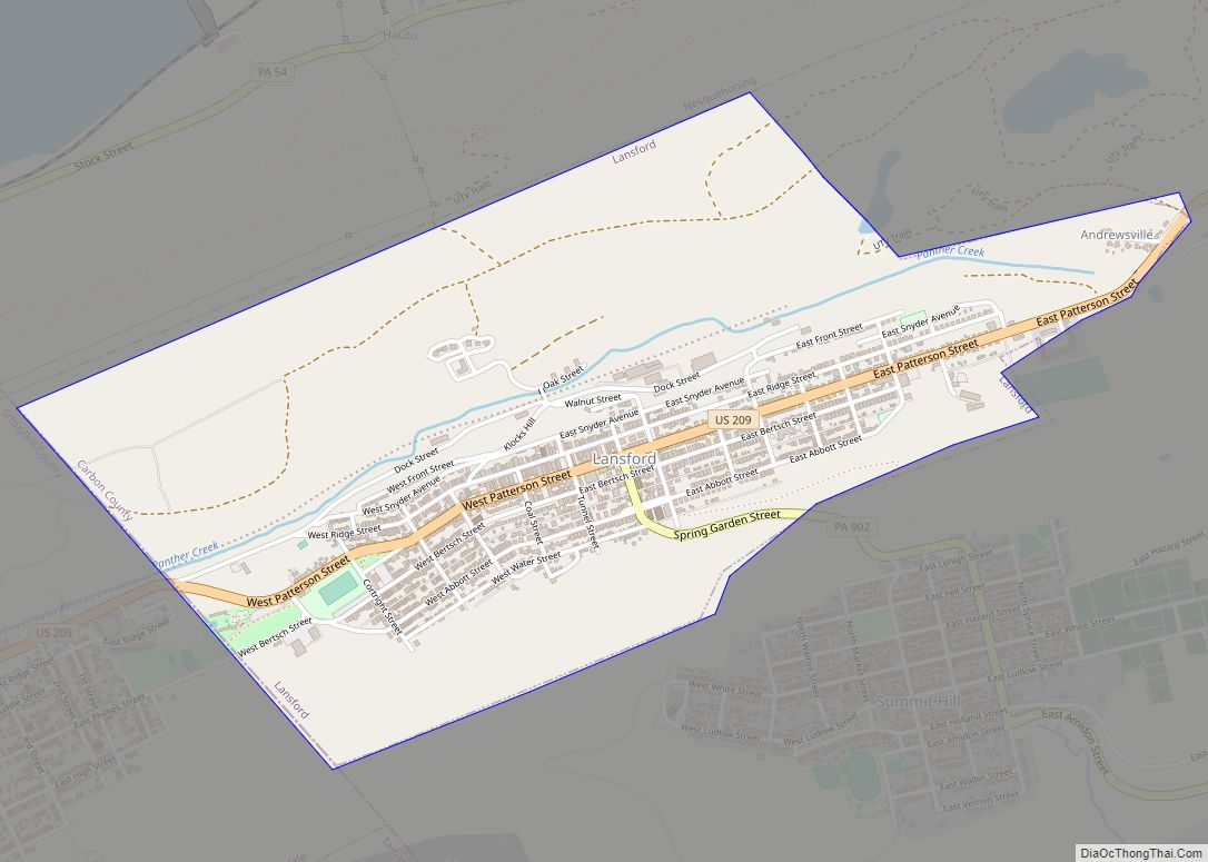
Online Interactive Map
Click on ![]() to view map in "full screen" mode.
to view map in "full screen" mode.
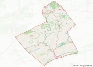
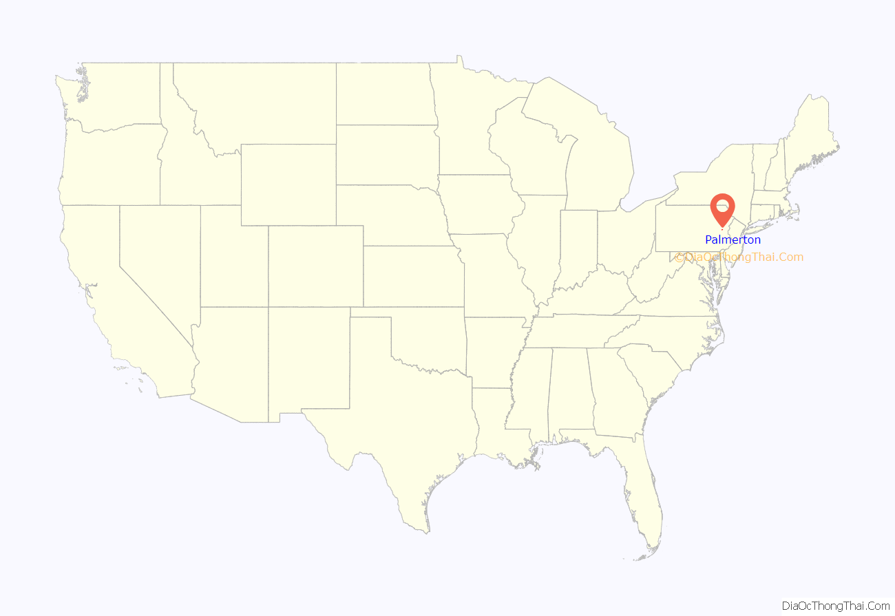
Palmerton location map. Where is Palmerton borough?

History
Native Americans lived in the area that is now Palmerton for many years. Early European settlers established the villages of Hazard and Little Gap, which were part of Lower Towamensing Township. There was also an Underground Railroad station there. Palmerton was officially incorporated in 1912.
In 1912, the New Jersey Zinc Company located a Zinc smelting operation (now the West Plant) here, in order to take advantage of the anthracite coal being mined just north of Palmerton and the zinc mines in Franklin, New Jersey. The town was named after New Jersey Zinc’s then-President, Stephen S. Palmer, though Palmer was reportedly not pleased with having his name on the town.
A second location, the East Plant, was established on the other side of town in 1911. Though other industries, such as several garment manufacturing shops, came to Palmerton, the zinc company was the major employer for most of the town’s history. Much of the population came to the site, principally from Eastern Europe, in order to work in the zinc plants.
Zinc smelting was ended in 1980 due to a poor zinc market and environmental regulation. The West Plant was demolished in 2010. The East Plant continues to operate at reduced capacity, processing electric arc furnace dust into zinc calcine.
The Palmer House, a five-story Senior Citizens residence at 360 Delaware Avenue is on the site of the former Palm Theater.
The Palmerton Historic District, covering the downtown area, was added to the National Register of Historic Places on January 19, 2018.
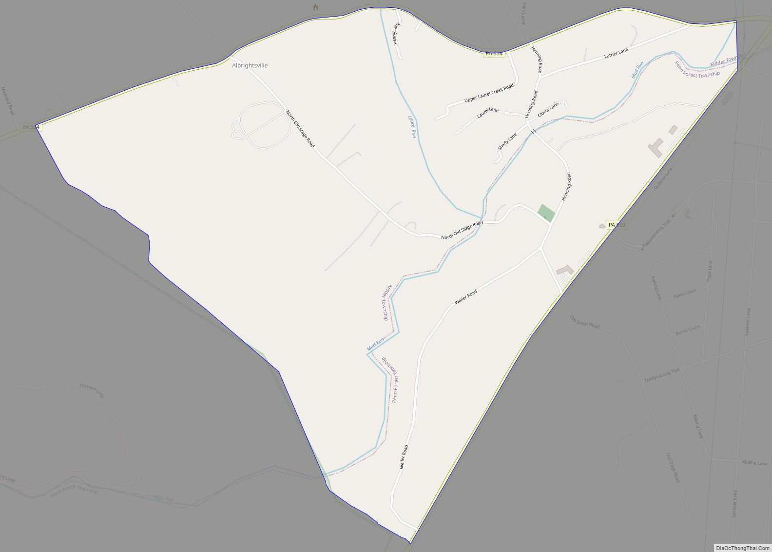
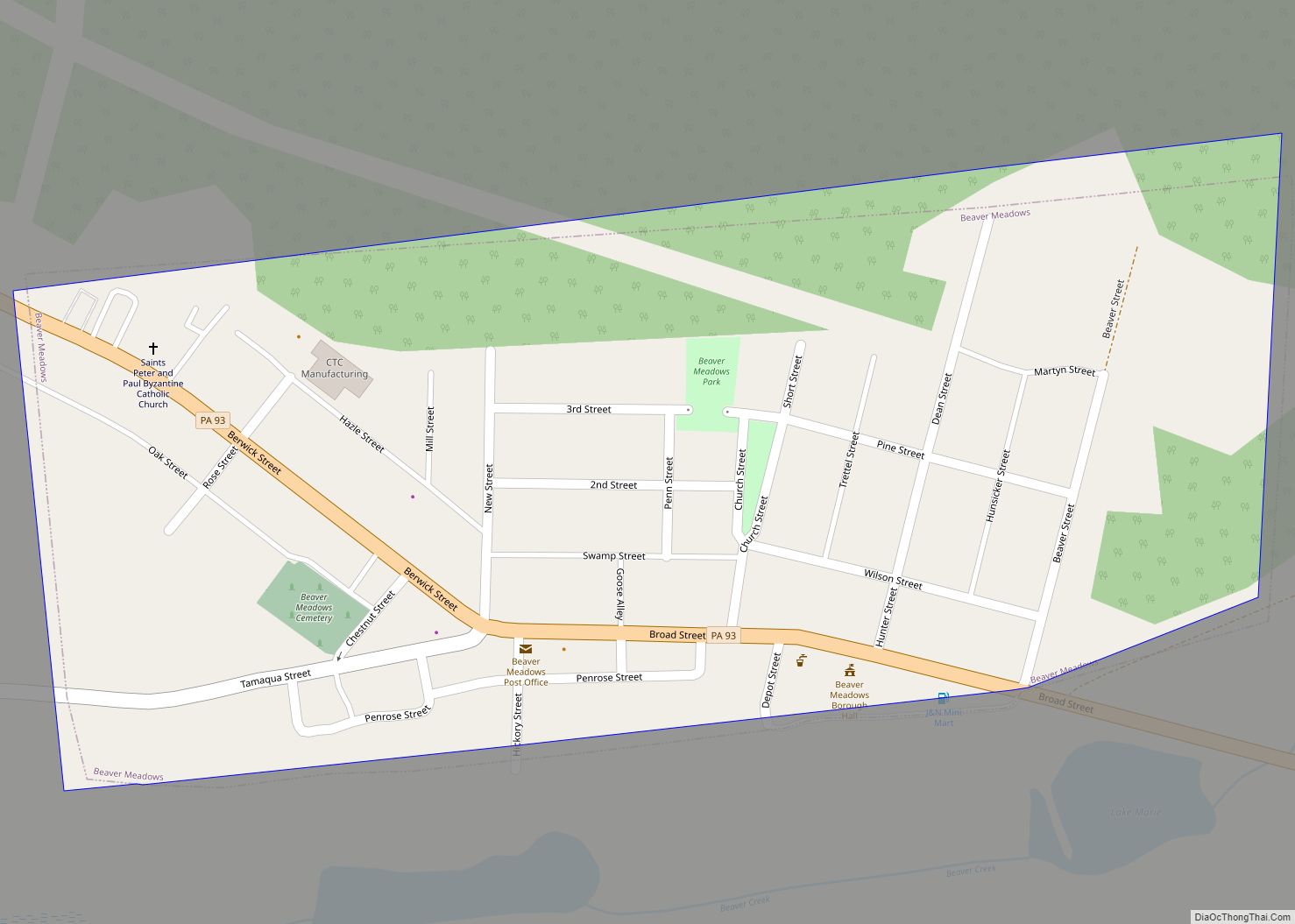
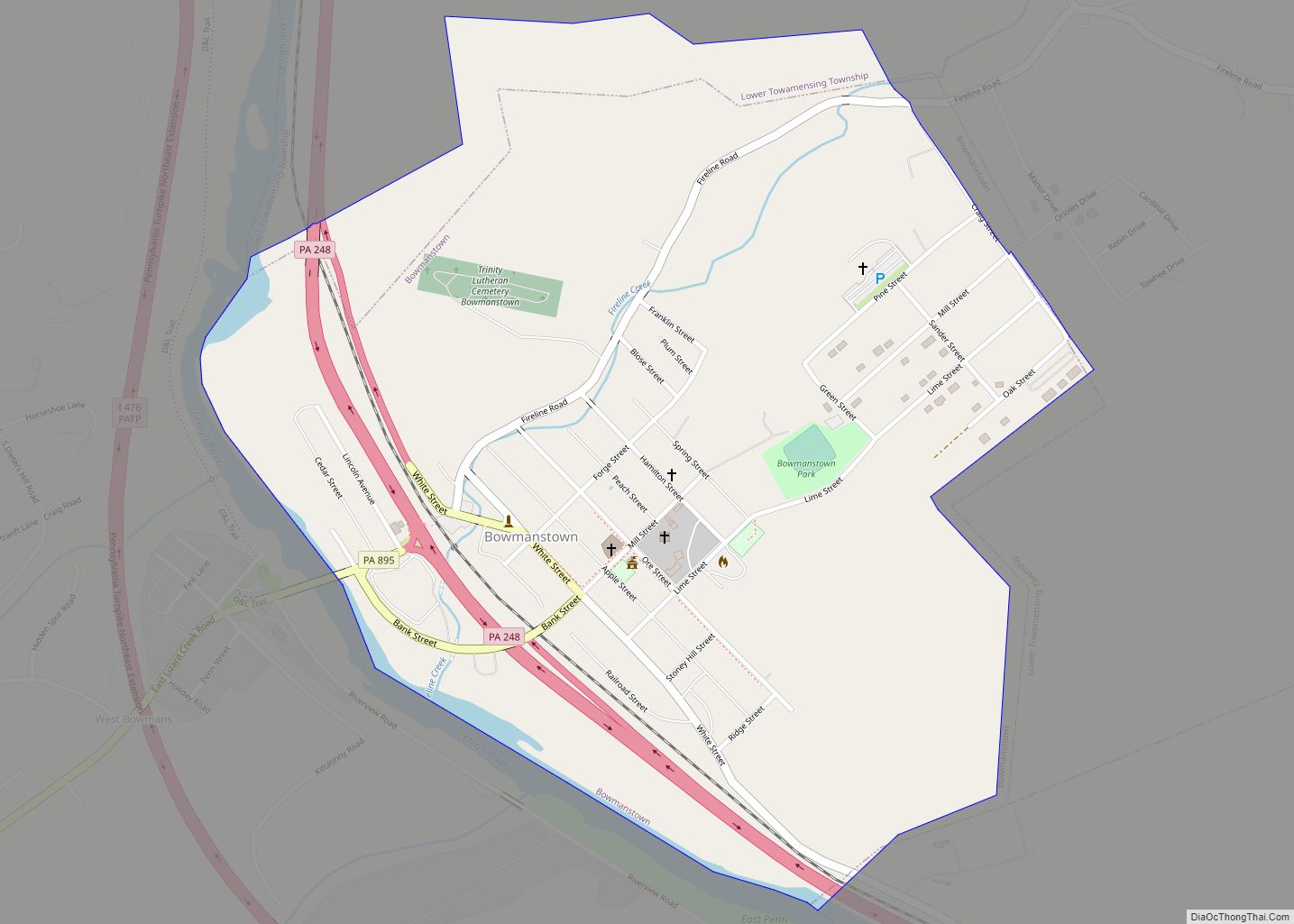
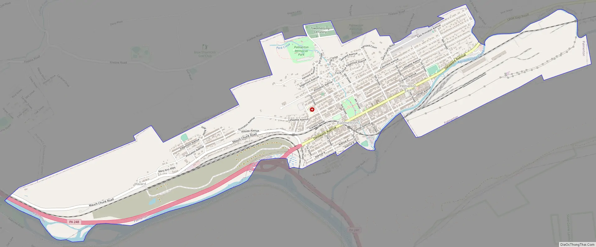
Palmerton Road Map
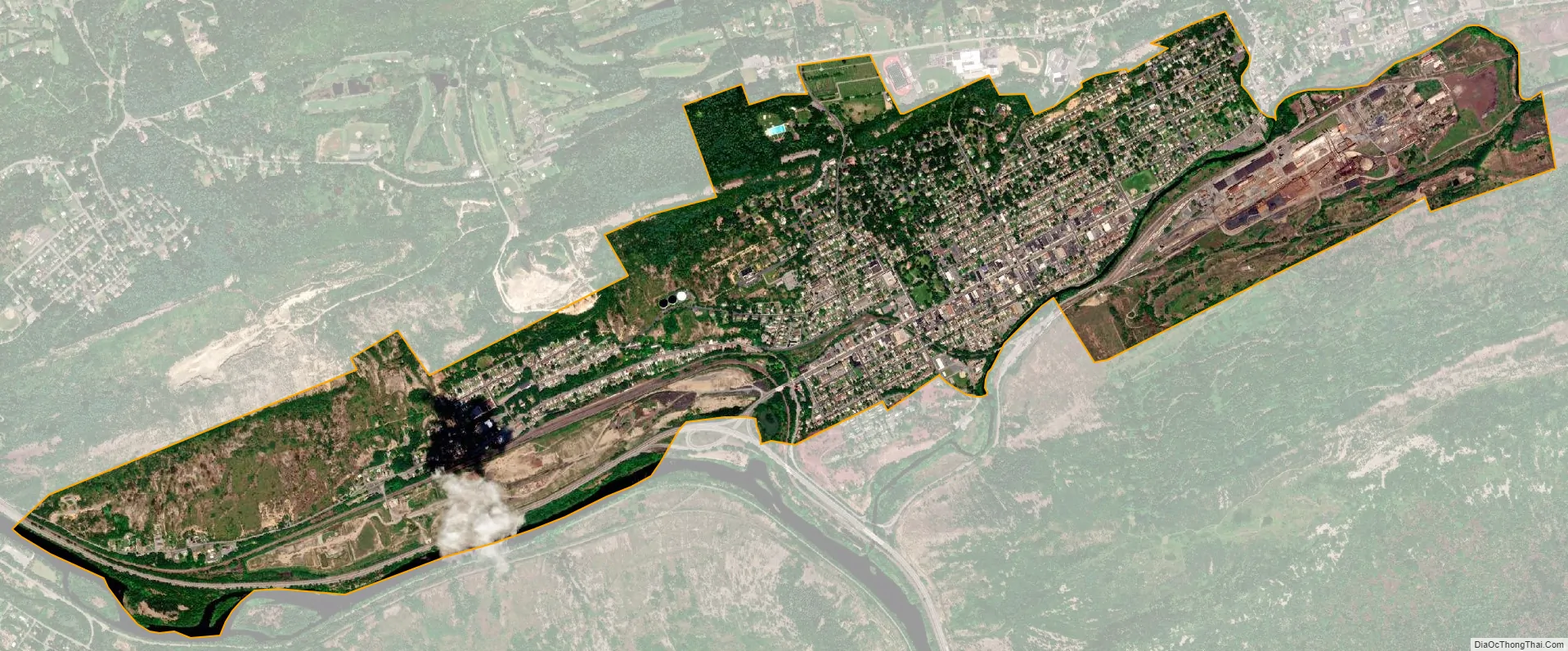
Palmerton city Satellite Map
Geography
Palmerton is located in southern Carbon County at 40°48′11″N 75°36′43″W / 40.80306°N 75.61194°W / 40.80306; -75.61194 (40.803077, -75.611808). It lies just north of the junction of the Lehigh River and Aquashicola Creek, which in turn is just north of the Lehigh Gap through Blue Mountain. To the north of Palmerton is Stony Ridge.
The borough is located 3 miles (5 km) east of Bowmanstown and 5 miles (8 km) north of the twin towns of Walnutport and Slatington, 7 miles (11 km) southeast of Lehighton, and 58 miles (93 km) south of the city of Scranton. Palmerton’s elevation is 407 feet (124 m) above sea level.
According to the U.S. Census Bureau, the borough has a total area of 2.54 square miles (6.57 km), of which 2.48 square miles (6.43 km) is land and 0.05 square miles (0.13 km), or 2.00%, is water. The layout of Palmerton’s streets and alleys is extremely regular, because most of the town was planned and built by the New Jersey Zinc Company. Avenues, which run east to west, contain the majority of addresses and are named for colleges and universities. Streets, running perpendicular, are numbered from First Street in the west to Eighth Street in the east. Most of the houses in the central and southern parts of town (near the zinc plants) are “doubles”—one building divided down the center into two residences.
See also
Map of Pennsylvania State and its subdivision:- Adams
- Allegheny
- Armstrong
- Beaver
- Bedford
- Berks
- Blair
- Bradford
- Bucks
- Butler
- Cambria
- Cameron
- Carbon
- Centre
- Chester
- Clarion
- Clearfield
- Clinton
- Columbia
- Crawford
- Cumberland
- Dauphin
- Delaware
- Elk
- Erie
- Fayette
- Forest
- Franklin
- Fulton
- Greene
- Huntingdon
- Indiana
- Jefferson
- Juniata
- Lackawanna
- Lancaster
- Lawrence
- Lebanon
- Lehigh
- Luzerne
- Lycoming
- Mc Kean
- Mercer
- Mifflin
- Monroe
- Montgomery
- Montour
- Northampton
- Northumberland
- Perry
- Philadelphia
- Pike
- Potter
- Schuylkill
- Snyder
- Somerset
- Sullivan
- Susquehanna
- Tioga
- Union
- Venango
- Warren
- Washington
- Wayne
- Westmoreland
- Wyoming
- York
- Alabama
- Alaska
- Arizona
- Arkansas
- California
- Colorado
- Connecticut
- Delaware
- District of Columbia
- Florida
- Georgia
- Hawaii
- Idaho
- Illinois
- Indiana
- Iowa
- Kansas
- Kentucky
- Louisiana
- Maine
- Maryland
- Massachusetts
- Michigan
- Minnesota
- Mississippi
- Missouri
- Montana
- Nebraska
- Nevada
- New Hampshire
- New Jersey
- New Mexico
- New York
- North Carolina
- North Dakota
- Ohio
- Oklahoma
- Oregon
- Pennsylvania
- Rhode Island
- South Carolina
- South Dakota
- Tennessee
- Texas
- Utah
- Vermont
- Virginia
- Washington
- West Virginia
- Wisconsin
- Wyoming