Breinigsville is an unincorporated community and census-designated place (CDP) in Lehigh County, Pennsylvania. As of the 2020 census, it had a population of 7,495. The town is part of Upper Macungie Township and is located approximately 11 miles (18 km) southwest of downtown Allentown and 8 miles (13 km) east of Kutztown.
It is part of the Lehigh Valley metropolitan area, which had a population of 861,899 and was the 68th-most populous metropolitan area in the U.S. as of the 2020 census.
| Name: | Breinigsville CDP |
|---|---|
| LSAD Code: | 57 |
| LSAD Description: | CDP (suffix) |
| State: | Pennsylvania |
| County: | Lehigh County |
| Elevation: | 406 ft (124 m) |
| Land Area: | 3.37 sq mi (8.73 km²) |
| Water Area: | 0.00 sq mi (0.01 km²) |
| Population Density: | 2,222.72/sq mi (858.14/km²) |
| ZIP code: | 18031 |
| Area code: | 610 and 484 |
| FIPS code: | 4208392 |
| GNISfeature ID: | 1170194 |
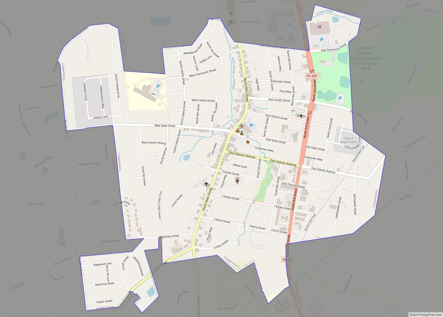
Online Interactive Map
Click on ![]() to view map in "full screen" mode.
to view map in "full screen" mode.
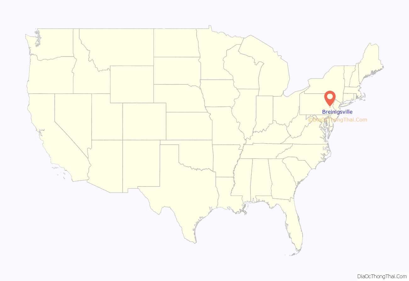
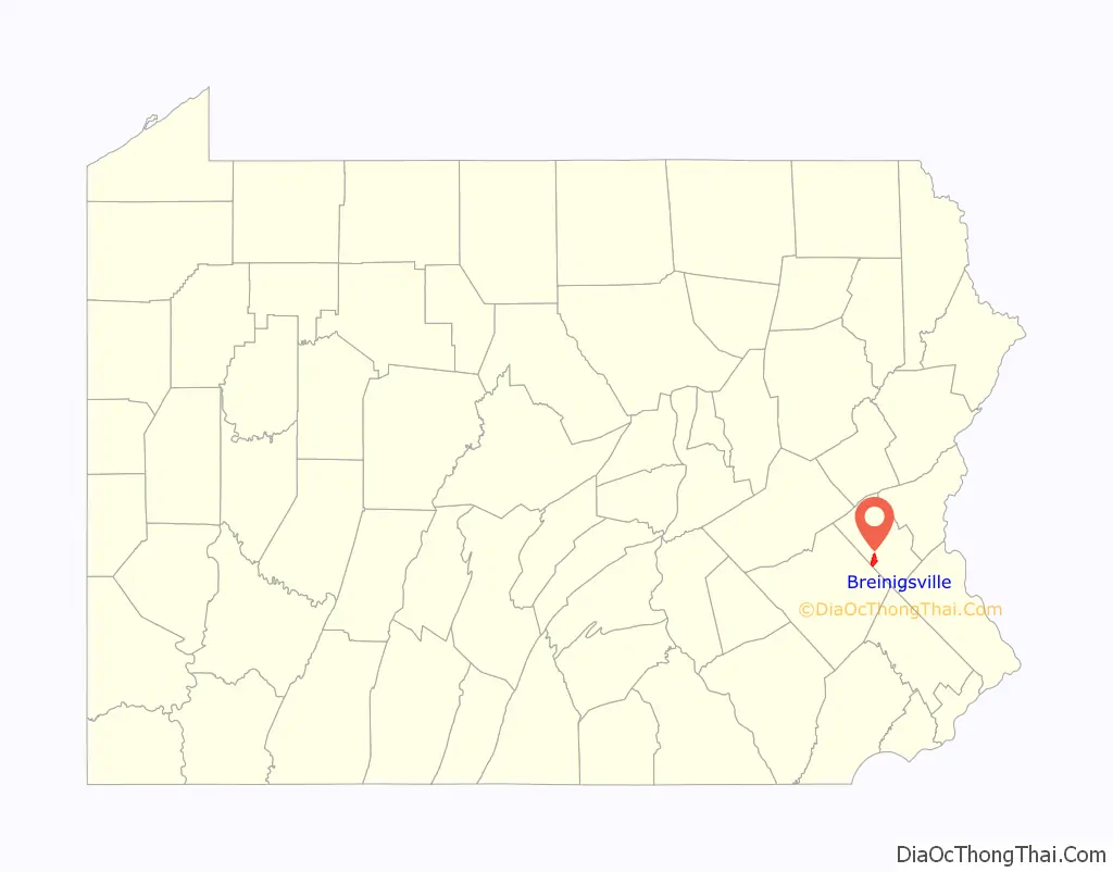
Breinigsville location map. Where is Breinigsville CDP?
History
18th century
Breinigsville was named for George Ludwig Breinig (January 31, 1733 – May 12, 1812), a German immigrant who came to the United States on board the ship Lydia, arriving in Philadelphia on October 13, 1749. He originally settled in Weisenberg Township (tax records show he was assessed 9 pounds in 1762). On May 10, 1771, Breinig purchased around 100 acres (40 ha) of land and a stone dwelling for 700 pounds from Peter and Catherine Trexler of Trexlertown. He resided on that land until his death.
Breinig was one of the judges of the election at Allentown on July 8, 1776 when delegates to the first constitutional convention of the state were elected. During the Revolutionary War, Breinig became the colonel of the Second Battalion of Northampton County militia. In 1786, he was commissioned a justice of the district of Macungie and Weisenberg townships. Breinig is buried at Zion Lehigh Lutheran Church, Alburtis.
Among his seven children was Peter Breinig, his youngest son who founded Breinigsville and owned a 123-acre (50 ha) farm. He built a tavern in the village and operated it for some years. As in most early towns, the tavern served as the center of the community. Today the town’s tavern is located in the Breinigsville Hotel.
19th century
In the early 1800s, the village was a center for iron ore mining, which employed many men. Around 1855 the Allentown Railroad was graded through Breinigsville, but the tracks were never laid. In the 1860s, the Catasauqua and Fogelsville Railroad used the grade to build from Trexlertown, on its main line, into Breinigsville, as part of a branch to serve local limonite (iron ore) mines. The largest deposit of pyrite ore in the region was located 2 miles (3 km) northwest of Breinigsville. Later, the village was served by the Allentown-Reading Traction Company. These mines had shut down by the end of World War I, and the rails through Breinigsville were consequently abandoned. They were finally removed in the 1940s.
On the western edge of Breinigsville, a United Brethren Church was built in 1880 whose membership at one time peaked at around 40. Regular services discontinued in 1912.
The village had a lumber, grain, and coal depot, a carriage works, and a general store, which are no longer in existence. In the mid-1800s, a two-room school house was built in the town, with the upper grades taught by Miss Edith Walbert and the lower grades taught by Mr. John Shoemaker. While the school has long ceased operations, the building still stands. Around 1860, an independent school district was formed in the township by an act of the legislature. The single school replaced the dozens of smaller schools, including the one in Breinigsville. The school district served until the early 1900s, when the Parkland School District was formed.
20th and 21st centuries
In 1987, AT&T acquired around 137 acres (55 ha) in Breinigsville which became known as TEK Park Campus. The facility became Bell Labs’ world headquarters for optoelectronics research. In the late 1990s, the center was spun off as Lucent Technologies. In 2002, it was spun off again as Agere Systems. In 2003, the park was sold to TriQuint Semiconductor. In 2012, TEK Park was sold to MRA Group for $50 million.
Breinigsville Road Map
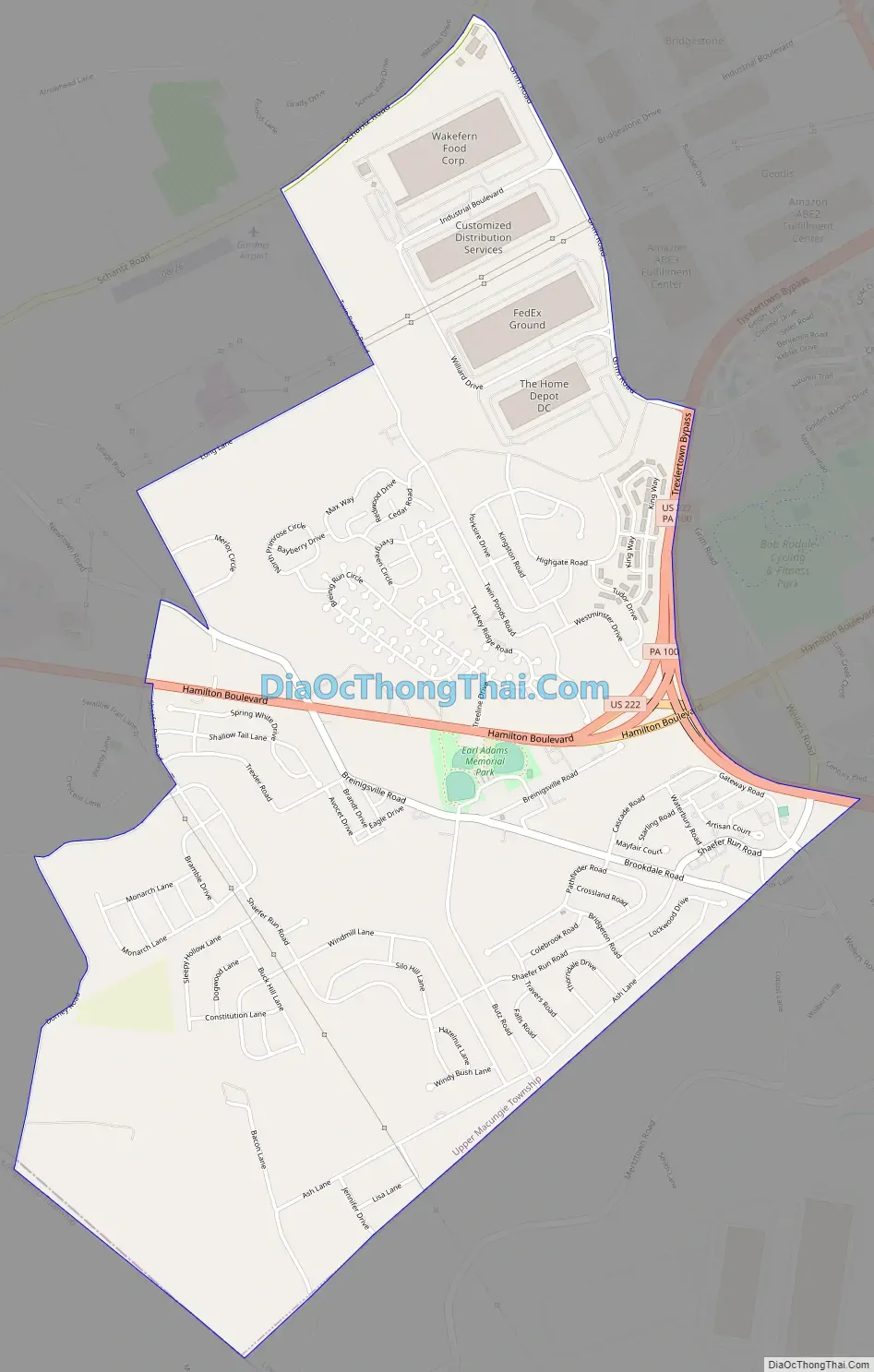
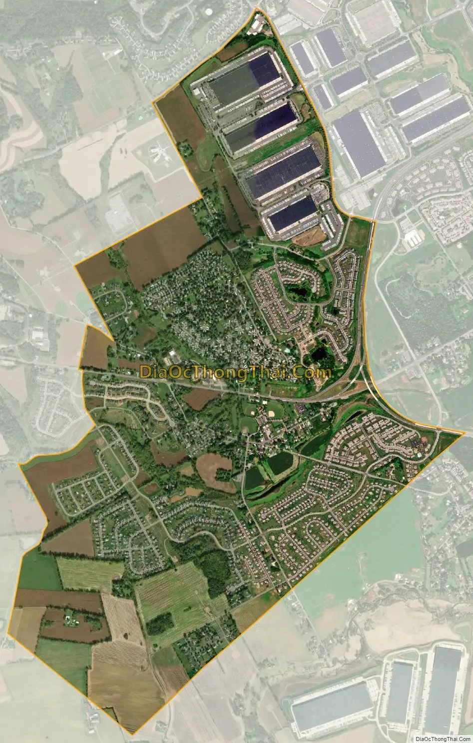
Breinigsville city Satellite Map
Geography
Breinigsville is located southwest of the center of Lehigh County at 40°32’12” North, 75°37’53” West (40.5367627, -75.6312997). It is in the southern corner of Upper Macungie Township. The elevation is 406 feet (124 m) at the center of town. Breinigsville is located along U.S. Route 222, between its intersection with the southern terminus of Pennsylvania Route 863 and Route 222’s Trexlertown Bypass (Fred Jaindl Memorial Highway). Breinigsville is bordered to the northeast by Trexlertown, and Maxatawny 3 miles (5 km) to the west along U.S. 222.
According to the U.S. Census Bureau, Breinigsville has a total area of 3.3 square miles (8.5 km) of which 0.004 square miles (0.01 km), or 0.14%, are water. Schaefer Run flows east through the village toward Little Lehigh Creek, a tributary of the Lehigh River and part of the Delaware River watershed.
See also
Map of Pennsylvania State and its subdivision:- Adams
- Allegheny
- Armstrong
- Beaver
- Bedford
- Berks
- Blair
- Bradford
- Bucks
- Butler
- Cambria
- Cameron
- Carbon
- Centre
- Chester
- Clarion
- Clearfield
- Clinton
- Columbia
- Crawford
- Cumberland
- Dauphin
- Delaware
- Elk
- Erie
- Fayette
- Forest
- Franklin
- Fulton
- Greene
- Huntingdon
- Indiana
- Jefferson
- Juniata
- Lackawanna
- Lancaster
- Lawrence
- Lebanon
- Lehigh
- Luzerne
- Lycoming
- Mc Kean
- Mercer
- Mifflin
- Monroe
- Montgomery
- Montour
- Northampton
- Northumberland
- Perry
- Philadelphia
- Pike
- Potter
- Schuylkill
- Snyder
- Somerset
- Sullivan
- Susquehanna
- Tioga
- Union
- Venango
- Warren
- Washington
- Wayne
- Westmoreland
- Wyoming
- York
- Alabama
- Alaska
- Arizona
- Arkansas
- California
- Colorado
- Connecticut
- Delaware
- District of Columbia
- Florida
- Georgia
- Hawaii
- Idaho
- Illinois
- Indiana
- Iowa
- Kansas
- Kentucky
- Louisiana
- Maine
- Maryland
- Massachusetts
- Michigan
- Minnesota
- Mississippi
- Missouri
- Montana
- Nebraska
- Nevada
- New Hampshire
- New Jersey
- New Mexico
- New York
- North Carolina
- North Dakota
- Ohio
- Oklahoma
- Oregon
- Pennsylvania
- Rhode Island
- South Carolina
- South Dakota
- Tennessee
- Texas
- Utah
- Vermont
- Virginia
- Washington
- West Virginia
- Wisconsin
- Wyoming