Brockway is a borough in Jefferson County, Pennsylvania, United States. The population was 2,072 at the 2010 census.
| Name: | Brockway borough |
|---|---|
| LSAD Code: | 21 |
| LSAD Description: | borough (suffix) |
| State: | Pennsylvania |
| County: | Jefferson County |
| Incorporated: | 1883 |
| Elevation: | 1,499 ft (457 m) |
| Total Area: | 1.22 sq mi (3.15 km²) |
| Land Area: | 1.19 sq mi (3.07 km²) |
| Water Area: | 0.03 sq mi (0.08 km²) |
| Total Population: | 2,276 |
| Population Density: | 1,920.68/sq mi (741.72/km²) |
| ZIP code: | 15824 |
| Area code: | 814 |
| FIPS code: | 4208960 |
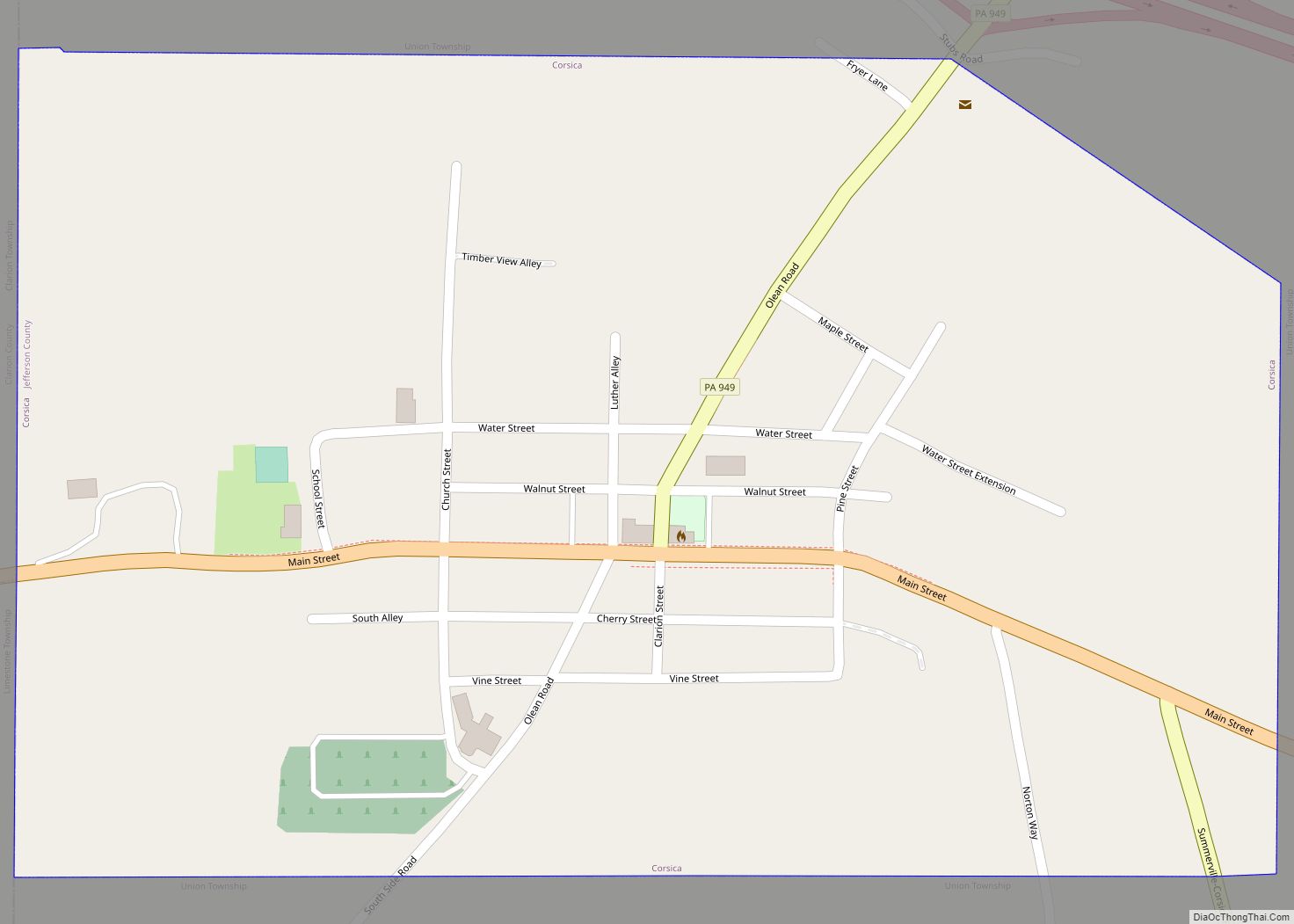
Online Interactive Map
Click on ![]() to view map in "full screen" mode.
to view map in "full screen" mode.
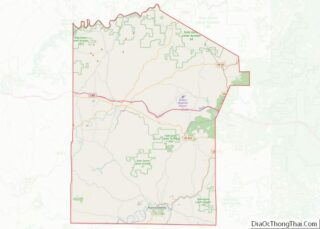
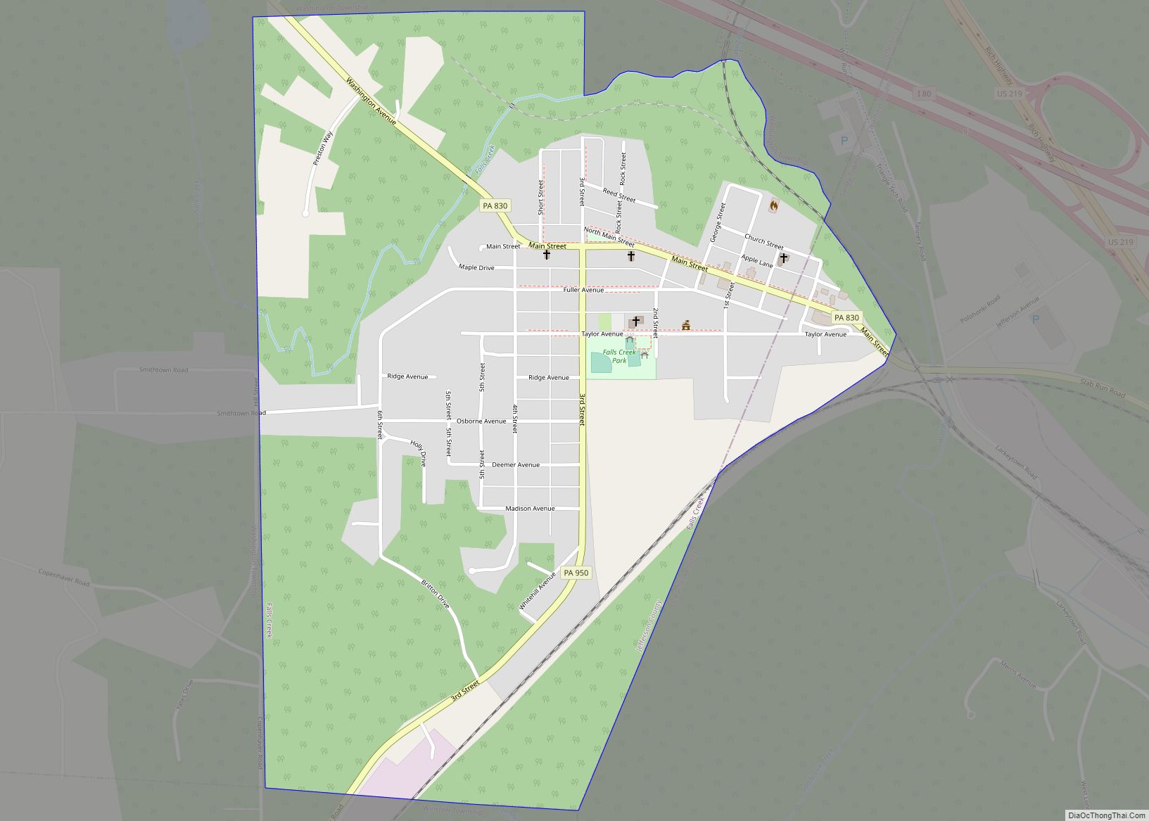
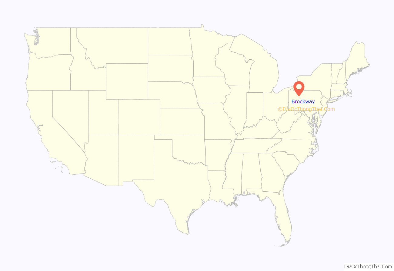
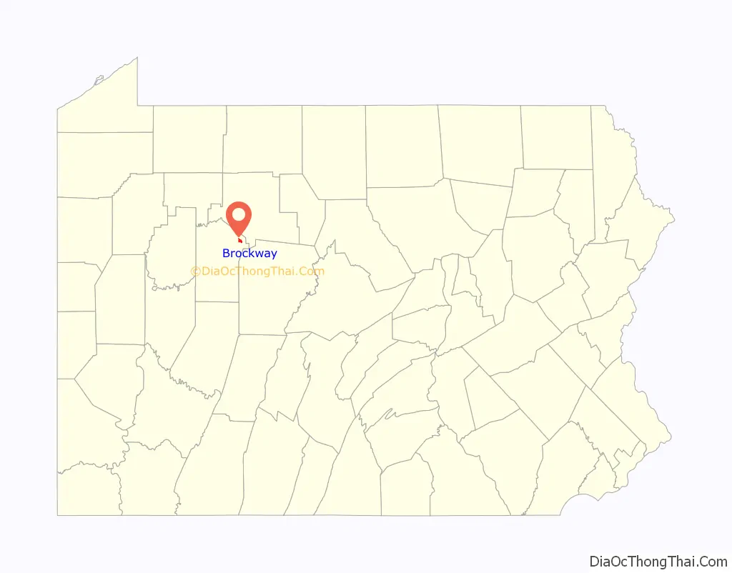
Brockway location map. Where is Brockway borough?
History
The community was laid out as “Brockwayville” in 1836. The borough was named for Alonzo and John S. Brockway, who came to the site in 1822. A post office called “Brockwayville” was established in 1829, and the name of the post office was changed to “Brockway” in 1925.
The Brockwayville Passenger Depot, Buffalo, Rochester and Pittsburgh Railroad was added to the National Register of Historic Places in 2003.
The Brockway Glass Company Inc. was founded in 1907 in by the Brockway Machine Bottle Company (which later became Brockway Glass). Brockway manufactured and sold glass containers and tubing, along with plastic products manufactured through wholly owned subsidiaries. In 1964 Brockway bought several Hazel-Atlas Glass Company factories from the Continental Can Company as part of a lawsuit settlement. In 1987 Owens-Illinois made a bid of $60 per share (worth $750million) to acquire Brockway, which was met with resistance by the FTC. After a federal district judge denied the FTC’s request for an injunction, Owens-Illinois acquired Brockway’s shares.
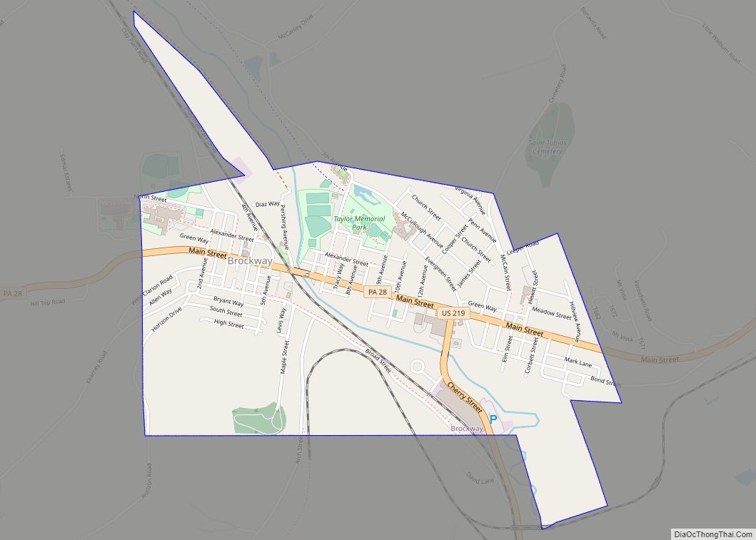
Brockway Road Map
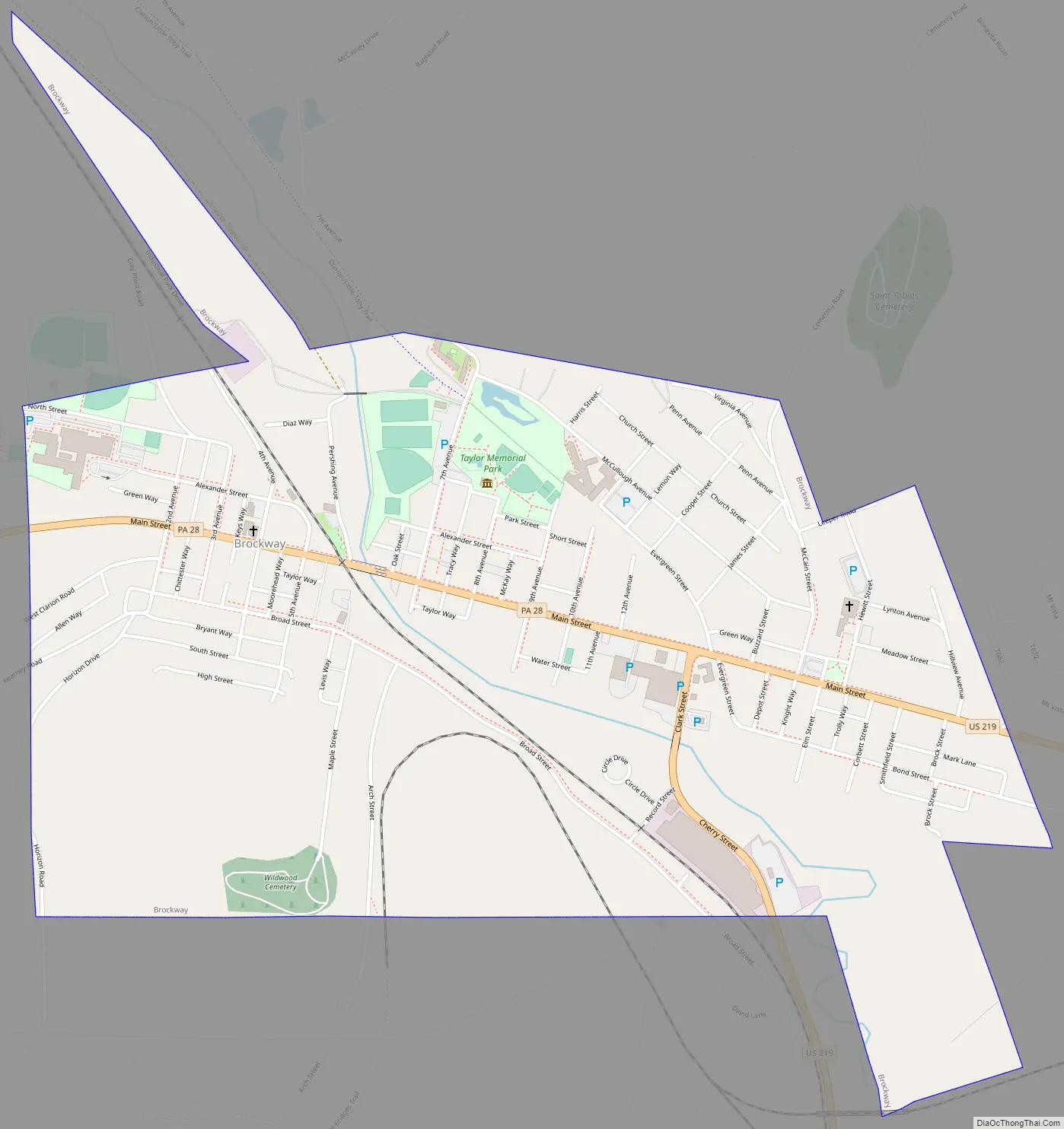
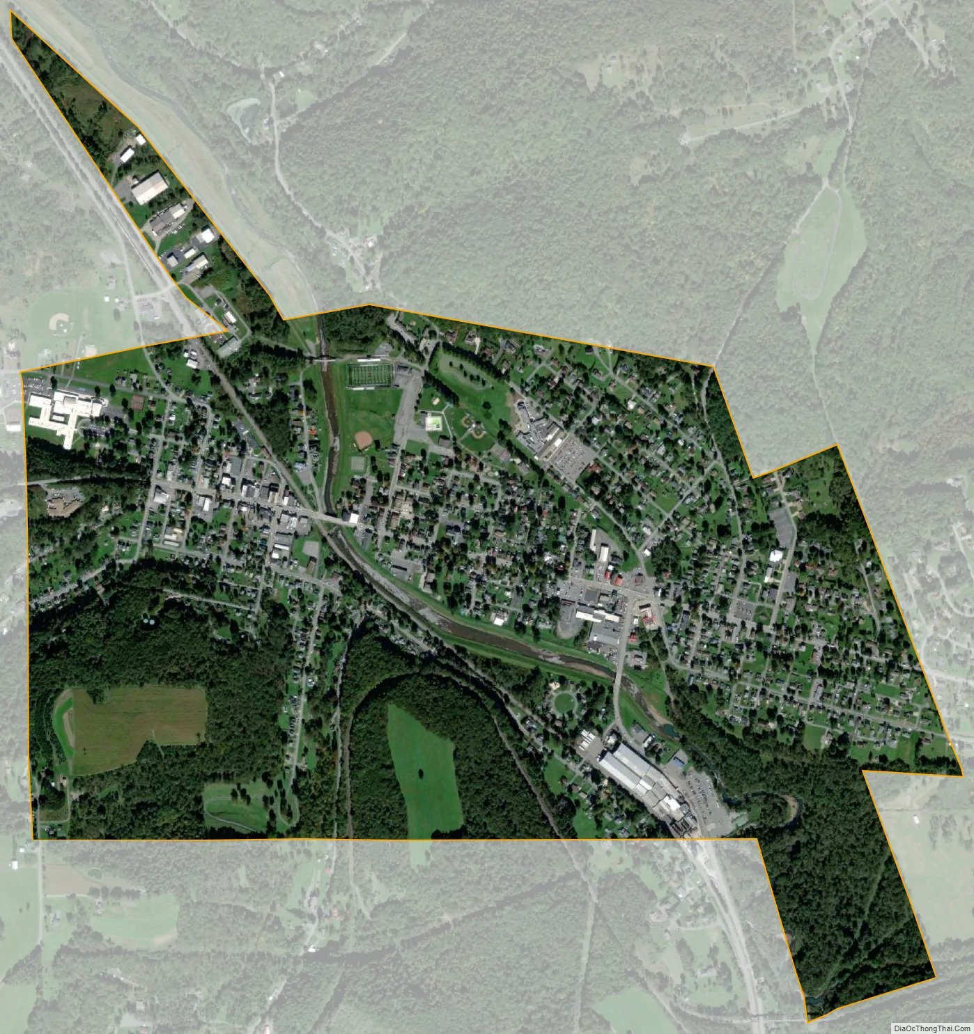
Brockway city Satellite Map
Geography
Brockway is located in northeastern Jefferson County at 41°14′52″N 78°47′29″W / 41.24778°N 78.79139°W / 41.24778; -78.79139 (41.247839, -78.791270), in the valley of Little Toby Creek, a northward-flowing tributary of the Clarion River and part of the Allegheny River watershed. U.S. Route 219 passes through the borough, leading northeast 17 miles (27 km) to Ridgway and south 10 miles (16 km) to DuBois. Pennsylvania Route 28 has its eastern terminus at US 219 in Brockway and leads west 18 miles (29 km) to Brookville.
According to the United States Census Bureau, the borough has a total area of 1.18 square miles (3.05 km), of which 1.14 square miles (2.96 km) are land and 0.03 square miles (0.08 km), or 2.69%, are water.
See also
Map of Pennsylvania State and its subdivision:- Adams
- Allegheny
- Armstrong
- Beaver
- Bedford
- Berks
- Blair
- Bradford
- Bucks
- Butler
- Cambria
- Cameron
- Carbon
- Centre
- Chester
- Clarion
- Clearfield
- Clinton
- Columbia
- Crawford
- Cumberland
- Dauphin
- Delaware
- Elk
- Erie
- Fayette
- Forest
- Franklin
- Fulton
- Greene
- Huntingdon
- Indiana
- Jefferson
- Juniata
- Lackawanna
- Lancaster
- Lawrence
- Lebanon
- Lehigh
- Luzerne
- Lycoming
- Mc Kean
- Mercer
- Mifflin
- Monroe
- Montgomery
- Montour
- Northampton
- Northumberland
- Perry
- Philadelphia
- Pike
- Potter
- Schuylkill
- Snyder
- Somerset
- Sullivan
- Susquehanna
- Tioga
- Union
- Venango
- Warren
- Washington
- Wayne
- Westmoreland
- Wyoming
- York
- Alabama
- Alaska
- Arizona
- Arkansas
- California
- Colorado
- Connecticut
- Delaware
- District of Columbia
- Florida
- Georgia
- Hawaii
- Idaho
- Illinois
- Indiana
- Iowa
- Kansas
- Kentucky
- Louisiana
- Maine
- Maryland
- Massachusetts
- Michigan
- Minnesota
- Mississippi
- Missouri
- Montana
- Nebraska
- Nevada
- New Hampshire
- New Jersey
- New Mexico
- New York
- North Carolina
- North Dakota
- Ohio
- Oklahoma
- Oregon
- Pennsylvania
- Rhode Island
- South Carolina
- South Dakota
- Tennessee
- Texas
- Utah
- Vermont
- Virginia
- Washington
- West Virginia
- Wisconsin
- Wyoming